The Cascade Mountains have got to have some of the most beautiful scenery I’ve ever seen. The biggest problem is that you have to get out and hike a long way to really see and appreciate it. However, there is one trail that takes you to some great scenery and that is only 7 miles long. In fact, I’d call it some of the best scenery in North Cascades National Park. The Maple Pass Trail goes through some really gorgeous scenery, up a steep trail past Rainy Lake and Rainy Lake Falls, through tundra-like meadows, and around Ann Lake (yes, it doesn’t have an “e” on the end…sigh) before the loop returns to the parking lot. It’s not even as long as many of hikes in the area. But be forewarned, it’s a steep trail that makes up for its length in difficulty!
To get to the parking area from Marblemount, take State Route 20 East about 52 miles to Rainy Pass (near milepost 158). If you’re coming from the east, the pass is located about 75 miles west of where State Route 20 and US-97 split off from each other just south of the town of Okanogan on State Route 20. Near the top of the pass you will find a large parking area with signs for Rainy Lake and Ann Lake. Park here. There are restrooms available in the parking lot. Be aware that State Route 20 is closed seasonally, so make sure it’s open before you go.
Head over towards the end of the parking lot nearest the signs—this is to your right if you’re facing the highway. This is where the trail starts. You have a choice about which way you want to do this trail, since it’s a loop. Going right towards Ann Lake will be a gentler ascent, but a very steep descent on the other side. Going left towards Rainy Lake Falls will be a steep initial climb, but less steep on the way down. Most people suggest that you go right; I preferred going left for one simple reason: the scenery. Going left, you are facing much of the scenery as you hike up past Rainy Lake and Rainy Lake Falls. You also get really great views of Ann Lake all the way down the other side. So, take your pick, but I’ll talk about it as though you went left, clockwise around the loop.
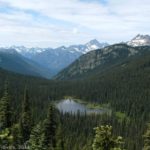
From the parking area, stay left and follow the signs for Rainy Lake along the paved path. After a half mile, you will come to a trail junction. The paved (left) path goes down to Rainy Lake, with great views of Rainy Lake Falls, while the right (unpaved) trail heads up the mountain. If you’ve never been to Rainy Lake before, taking the paved path and retracing your steps is worth the extra short distance. We’d been to the lake before, and it was a quite cloudy day, so we went right up the mountain. Almost immediately after the junction, the trail begins to switchback upwards, becoming increasingly steep as you climb (or at least it felt like it!). You will switchback through the trees for a while, then break out of the trees and begin following a ridgeline up the side of Frisco Mountain. However, unlike many ridge walks, this one isn’t flat; it goes up! The good thing about this ridgeline is that it offers outstanding views of Rainy Lake and the surrounding mountains. You’re on top of the world going up to even more on top of the world as you switchback up the steep side of a mountain on your way to a saddle.
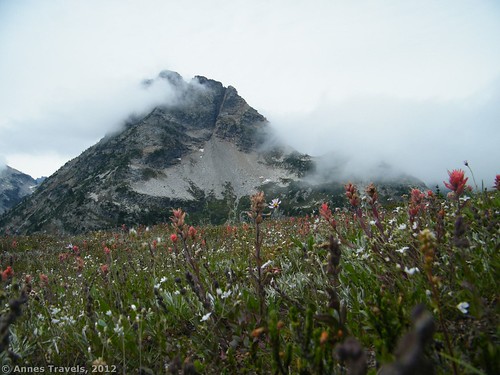
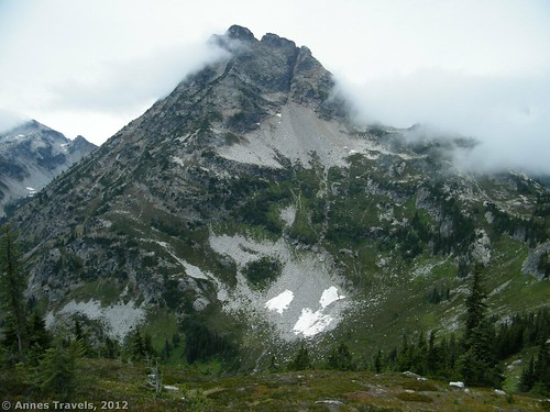
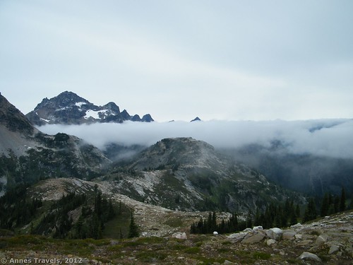
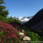
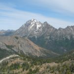
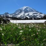
And then, finally, you will come to a saddle in the mountains with a very large mountain on your left (Frisco Mountain). It’s only about 2 miles from the paved path to here, but it feels like you’ve hiked more than that. The good news is that it’s mostly downhill from here! In this saddle we found meadows full of wildflowers, as well as the rocky walls of mountains. It was really pretty. We stopped for lunch in this area (we didn’t exactly get an early start) and a few of us ventured up a side trail that led up a rocky cliff. The views from there were really nice; better than down on the Maple Pass Trail. As I said above, it was a very cloudy day, so the clouds swirling around the meadows and up and around the mountains gave the whole picture a mystical look. I’m not sure I recommend hiking on a cloudy day, but this is very cool if you’re stuck doing it, like we were.
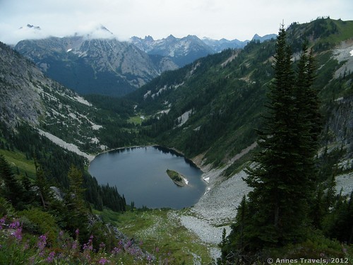
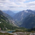
After you’ve admired the view for a bit, continue along past Frisco Mountain and over toward the other group of mountains ahead of you. From this point on, the trail is mostly a gentle to steep downhill slope. You are walking a ridgeline that goes around Ann Lake. About a mile after the saddle, you will come to Maple Pass; near this area you will need to stay on the ridgeline when other trails go down to Maple Creek. All the way around the lake you get really nice views of the mountains above and around you. The huckleberries were out when we hiked it in mid-August, which made for a nice treat. In the fall these bushes would be spectacular. After you come around the western edge of the lake, you begin to get some really nice views of the lake below you—the best of these will come as you’re descending the switchbacks on the west and northwest sides of the lake. The sun had finally shown through by the time we got to this section, so the views were even better. However, for some reason we’d all put our cameras away by that point, so my pictures don’t show the sun on the lake.
When you reach the Heather Pass Junction at 5 miles, go straight to head back to Ann Lake and the parking area (2.3 miles from here). From this junction, the trail descends a little more steeply, but not in switchbacks, along the side of the hill through the forest. Eventually, you will come to the junction with the Ann Lake Trail. If mountain lakes are your thing, by all means, check it out, but we figured we’d gotten better views of it from the ridgeline. It will add only another 0.6 miles to your hike. We have walked to the lake before, so I can say from experience that if you only have time for the loop or Ann Lake, I highly recommend the loop. From the Ann Lake junction, the trail is relatively flat (comparatively) as it descends back to the parking area, 1.3 miles away.
So if you’re in the mood for a hike that isn’t terribly long, but that leads you through some absolutely gorgeous North Cascade scenery, this is a great hike to take. It’s even on the main highway so you don’t have to drive down a dirt road to get to it!
Round Trip Trail Length: 7.2 miles
Facilities: Restrooms and signs at the parking area
Fees: Northwest Forest Pass is required. $5 a day; Interagency, Senior (Golden Age), Access (Golden Access), and Northwest Forest Passes accepted
Trail 


Road 


Signs 


Scenery 


Would I go 100 miles out of my way for this? 


Overall Rating: 


This Week’s Featured Product!
When you’re hiking steep hills, having hiking poles can be very helpful. The poles help you keep your balance on rocky trails, pull yourself along uphill, and take some of your pack weight off of your feet. This model has an anti-shock mechanism that takes the jolt out of using the poles. They also are adjustable so that people of different heights can use them. Comes with two poles so you won’t need to buy a second for your other hand





I located you’re blog via Bing and I have to say. A Huge Thank you very much, I believed your article was incredibly enlightening I’ll come back to see what additional great information I can recieve here.
Pingback: Link Roundup: My Favorite Hiking Websites - Anne's Travels
Pingback: 10 of the Best Trails In and Around North Cascades National Park - Anne's Travels
Pingback: Epic Hiking Fail to Epic Hiking Success - Anne's Travels