
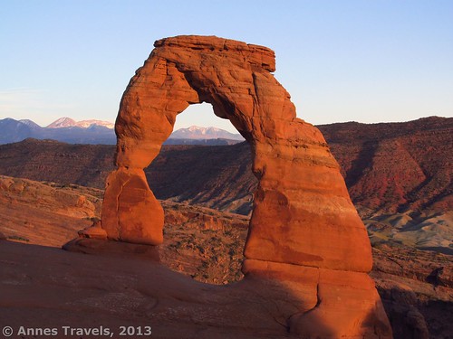
I’ve hiked the Delicate Arch Trail more times than I care to count, but I still love it. There’s something about standing across the valley from the arch looming upwards, tall and grand, that brings an awe at the beauty and majesty of it. The best times I’ve visited were in time to catch the sunset on the arch, though I’ve heard that moonrise and sunrise are also cool times to visit. In this post, I’d like to tell you some things I’ve learned along the way about my favorite time to visit the arch. So, here are 10 tips on how to get the best out of visiting Delicate Arch at sunset.
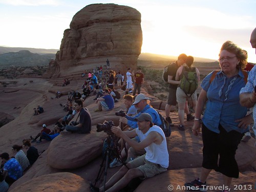
1. Leave the parking area in time to get to the viewing area at least an hour before the sun sets. The way the timing works, sun set is just that: the time when the sun goes below the horizon. You want to get to Delicate Arch quite a while before this, because the hour before sunset is when the best views are to be had. Note: also get to the parking area with time to spare – the parking areas aren’t adequate at heavy-usage times. Last time I visited was Memorial Day weekend, and we had to park along the side of the road…
2. Bring plenty of water. Although the trail is only 3 miles (4.8 km) RT, it’s quite steep and much of the trail is on exposed slickrock. The sun baking the rocks all day makes the hike even hotter. So bring more water than you expect to need.
3. Go during the full moon. This may or may not be possible, but if you can go during a full moon, you will be rewarded with awesome views of the moon rising behind the arch. You will also have light on the trail to hike back down if you stay after the sun sets. Beautiful!
4. Go on a sunny evening. Yes, I know, this is obvious, but it’s hard to watch a sunset if there are clouds in front of the sun. I did this last time I visited – the sun was out when we arrived, but quickly disappeared behind clouds, making the rest of our pictures less-than-interesting.
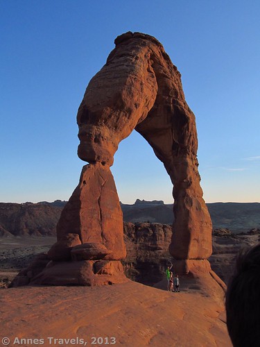
5. Don’t wait until the last minute to get your pictures. At sunset, Delicate Arch is shadowed by the rocks between the trail and the arch. So, get your pictures well before the sun sinks into the horizon.
6. If it’s hot, give yourself extra time for the hike. If it’s hot out, you’ll need to stop more often for rests, and it will likely take you longer to reach the end of the trail. This is especially true if you’re not used to hiking or if you have children.
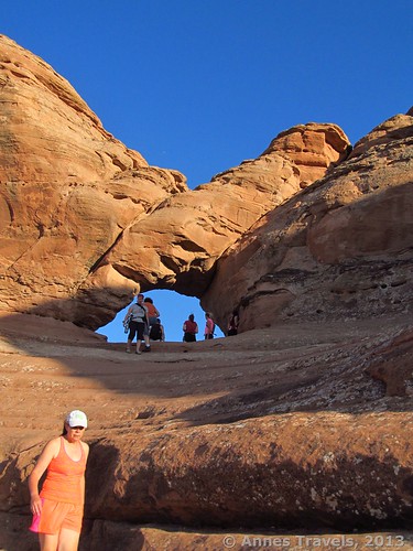
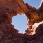
7. Don’t forget the window just before the viewing area. There are some incredible pictures to be had from this window. Just remember, it’s a popular place, so you may have to share with other hikers and photographers.
8. Don’t be afraid to hang around for a bit. Just because you’ve arrived and seen it doesn’t mean you can’t sit back and relax for a bit longer…the views of the arch will get better as sunset approaches.
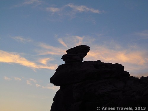
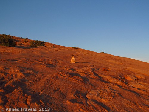
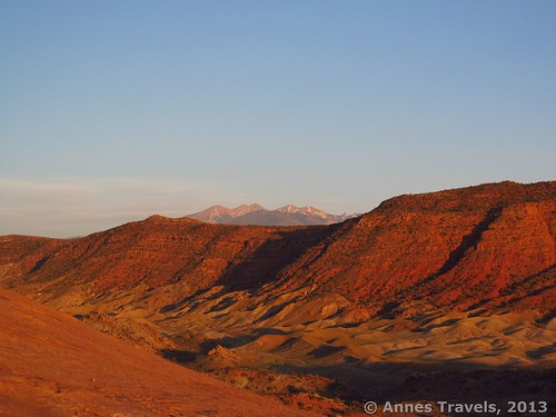
9. Feel free to move around/take pictures of other things. There are some interesting angels on the arch if you don’t mind moving around the viewing area. The place where you emerge from the trail is one of the best, but you can also move right, left, under the arch, over to the rocks on the left of the arch, and even down into the valley below the arch. Be creative and find some interesting angles to enjoy or to take pictures of. There are also many other things to take pictures of. I loved the rock formation with the clouds behind its head; cliffs across the way are also really nice at sunset. Be creative!
10. Relax! Even if you don’t get the best-of-the-best at sunset, it’s better that you enjoy yourself than be stressed out about getting up there on time!
Any other practical tips to add to these? Feel free to comment at the bottom of this post!
Round Trip Trail Length: 3 miles (4.8 km)
Facilities: Primitive toilets at the Delicate Arch Trailhead
Fees: $10 per vehicle, valid 7 days. America the Beautiful (Interagency), Senior (Golden Age), Access (Golden Access), Volunteer, Military, and Arches Annual Passes also accepted.
Trail 


Road 


Signs 


Scenery 


Would I go 100 miles out of my way for this? 


Overall Rating: 


Key GPS Coordinates for Delicate Arch
Beginning of the Delicate Arch Trail: 38.73563N / -109.52049W (38° 44’ 8.268” / -109° 31’ 13.7634”)
Delicate Arch: 38.743501N / -109.499327W (38° 44’ 36.6036” / -109° 29’ 57.5766”)
The gpx file for the Delicate Arch can be downloaded – please note that this is for reference only and should not be used as a sole resource when hiking this trail.
Download GPS File File size: 23.2 KB Downloaded 322 times
(Note: I do my best to ensure that all downloads, the webpage, etc. are virus-free and accurate; however, I cannot be held responsible for any damage that might result, including but not limited to loss of data, damages to hardware, harm to users, from use of files, information, etc. from this website. Thanks!)
Getting to Delicate Arch Parking Area
From Moab, UT, drive on US-191N out of town and across the Colorado River. After the bridge, drive 1.8 miles (2.9 km) and turn right into the driveway for Arches National Park. This is well-signed. If you’re coming from I-70, take Exit 182 (Crescent Junction) and drive almost 27 miles (44 km) on US-191S – you will see arches on your left ‘way out across the plain long before you come to this turn. Turn left into the driveway for Arches National Park. Again, this is well-signed.
Go through the fee station, and stop at the visitor center if you desire. If not, keep going straight past the visitor center and then up the hill. At 11.7 miles (18.8 km) from the beginning of the road, you will come to a road on your right; this should be signed for Delicate Arch and Wolfe Ranch. Turn here. Drive 1.2 miles (1.9 km) to the Wolfe Ranch parking area. Park here; the trails to Wolfe Ranch and Delicate Arch are the same for a bit before splitting near the ranch.
This Week’s Featured Product!
Looking for new places to discover beautiful photo opportunities in southern Utah? This book will take you from Arches through Zion, showing you places to photograph and offering pictures of interesting camera angels. Each hike/park has its own section, making it easy to find places near where you’re planning to be!





Pingback: 15 of the Best Day Hikes in Southern Utah - Anne's Travels
Pingback: Epic Day Hiking Road Trip to Southern Utah - Anne's Travels