
Zone 1
Pacific Northwest (Oregon, Washington)
Washington
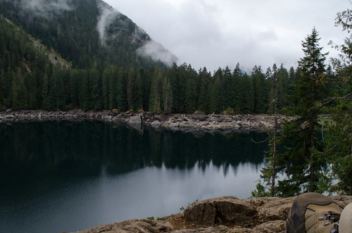
Lena Lake
6.1 miles out & back; 1,240ft. elevation gain; Moderate
Lake; views; creek; forest; Olympic National Forest

Lime Kiln Trail
6.7 miles out & back; 486ft. elevation gain; Moderate
Creek; forest; views; history; rain forest; Seattle/Puget Sound
Oregon
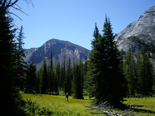
Thorp Creek Hike
9.9 miles out & back; 2,830ft. elevation gain; Moderate
Views; mountains; meadows; creek; Wallowa Mountains
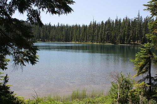
June Lake Hike
2.5 miles out & back; 440ft. elevation gain; Easy
Lake; views; lava flow; Mt. St. Helens
Zone 2
Northern Southwest (Utah, Nevada, California)
California

Emerald and Sapphire Lakes
27.1 miles out & back; 3,992ft. elevation gain; Moderately Strenuous
Views; lakes; mountains; Trinity Alps Wilderness
Emerald and Sapphire Lakes Trail Guide

Three Sisters Falls
3.5 miles out & back; 967ft. elevation gain; Moderately Strenuous
Views; waterfall; scramble; Julian
Three Sisters Falls Trail Guide
Nevada

Mary Jane Falls Trail
3.2 miles out & back; 1,371ft. elevation gain; Moderate
Waterfall; views; forest; Spring Mountains National Recreation Area
Utah

Gobbler’s Knob via Alexander Basin Trail
5.7 miles out & back; 3,116ft. elevation gain; Strenuous
Views; forest; wildflowers; Uinta-Wasatch-Cache National Forest
Gobbler’s Knob via Alexander Basin Trail Guide

Queen’s Garden/Navajo Loop
3.6 mile loop; 619ft. elevation change; Moderate
Rock formations; views; Bryce Canyon National Park