The other weekend, we decided to begin to get in shape for our upcoming summer vacation / hiking plans. That means we have to find hills. For many people, just going for a walk along the road is hilly enough, but around here (we’re on the Lake Plain) we have to look for decent hills to train on. So, we packed up water and hiking boots and headed over to Abraham Lincoln Park on Irondequoit Bay for some hill-hiking. There is a parking area next to the playgrounds, but there’s a nasty hill that must be descended / ascended (not to mention a bug-filled swamp with razor-sharp swamp grass to trek through) if you go that way, so we prefer driving to the end of Smith Road and parking in the dirt parking area just to the right of the gate. There’s still a fairly steep hill to climb, but it’s not as bad as the one by the playground.
Quick Stats
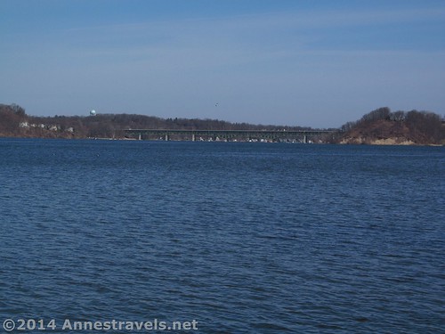
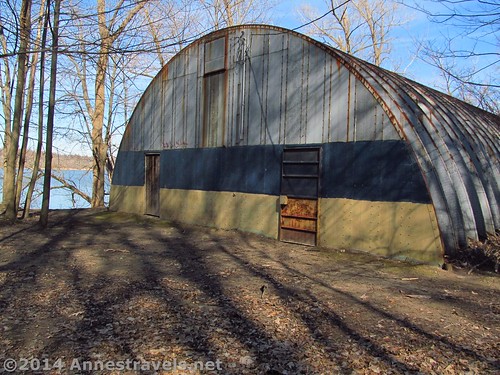
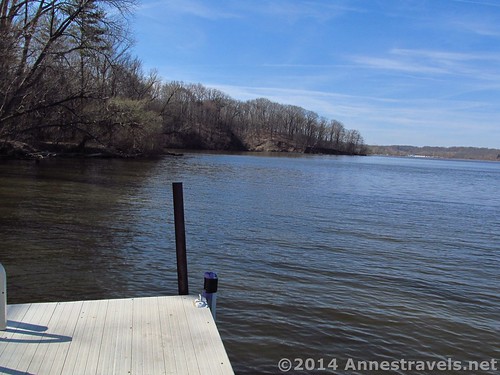
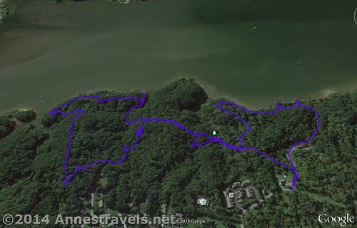
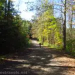
Our aim was to hike near the bay; this gives nice views as well as just being more fun. I’ll basically give a photo-essay of our walk, because I don’t think I could describe our hike. (We went on several unofficial trails – if you really want to follow our hike, you can download the GPX file at the bottom of this post. I’ll warn you, though, that you shouldn’t take the side trail that looks like a road after the streambed – we ended up bushwacking across country before finally meeting up with the Yellow Trail.) To start, walk down the road from the gate, past the old buildings, and continuing as the road becomes gravel / dirt. At the bottom of the hill, turn left until you come to the dock and another old metal building.
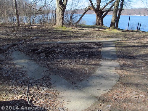
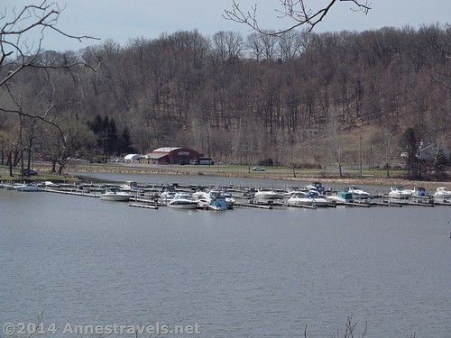
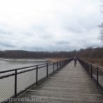
The views from the dock are very nice. It was great to see the bay water levels higher than last fall.
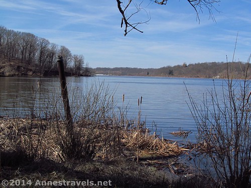
We walked past the building, then over to the water’s edge again. There were remnants of a couple old docks…
and maybe even a flag pole (once owned by the boy scouts?)
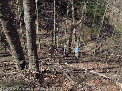
We followed the white blazes, then turned onto the Red Trail. The red trail parallels the bay for a while, which made for some nice views. When we returned to the White Trail, we turned right, then turned right again at the Orange Trail juncture. Not too long after the junction is a crazy hill that the trail descends into a creek valley.
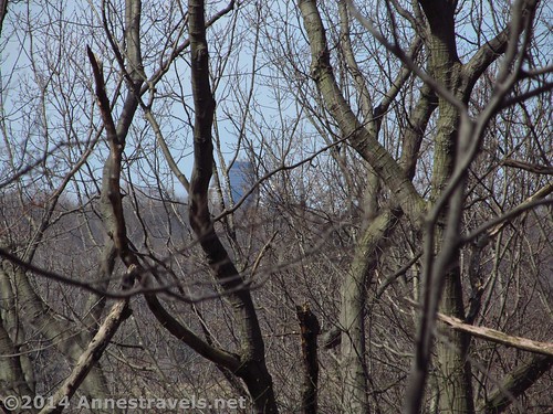
From here, we walked along the White Trail for a bit, then decided to branch off up what was once a road. Unfortunately, we chose the wrong road, and ended up in someone’s backyard instead of at the Yellow Trail, as we’d planned. We went across country for a short while before finding the right road and then the Yellow Trail. Along this trail we were able to see Rochester – cool!
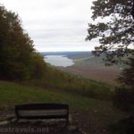
Finally reaching the White Trail again, we turned left, then turned onto an unnamed trail. This trail takes you on the bluffs above the bay with some nice views.
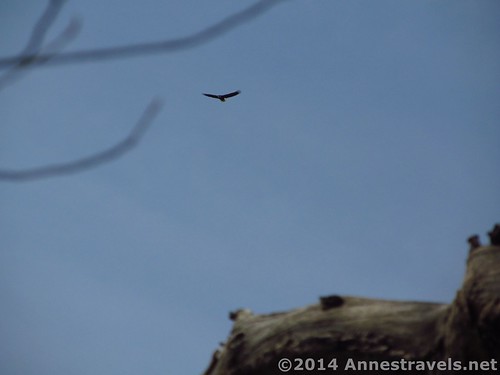
As we walked along the top of the bluffs, suddenly a huge bird flew overhead – the first bald eagle I’ve ever seen in this area! It swooped over our heads for a bit, then flew off.
We followed the trail down another steep hill, turned left quickly to look at the bay at bay-level, then turned around to go back to the White Trail and, turning left, retraced the White Trail to the Orange Trail. This took us back to the road beyond the gate (if you turn right at the Orange-Orange junction), so we could just turn right back up the hill to the parking area!
I think several of us now have sore muscles from this, but that’s a good thing…it means we’re getting in shape for what’s coming this summer!
Check out my post about paddling on Irondequoit Bay, too!
Round Trip Trail Length: About 3 miles (4.8 km)
Highest Point: 447ft. (136 m)
Lowest Point: 228ft. (70 m)
Net Elevation Gain: 219ft. (66m)
Facilities: None
Fees: None
Trail 


Road 


Signs 


Scenery 


Would I go 100 miles out of my way for this? 


Overall Rating: 


Key GPS Coordinates:
Smith Road Parking Area: 43.18774N / 077.51144W (372ft.; 113m)
Dock: 43.18950N / 077.5114440W (228ft.; 70m)
An overlook (on the Red Trail): 43.18674N / 077.51675W (301ft.; 92 m)
A second overlook (on the unnamed trail): 43.18063N / 077.51698W (364ft.; 111m)
The gpx file for this hike in Abraham Lincoln Park can be downloaded – please note that this and the GPS Coordinates are for reference only and should not be used as a sole resource when hiking this trail.
Download File size: 68.7 KB Downloaded 181 times
(Note: I do my best to ensure that all downloads, the webpage, etc. are virus-free and accurate; however, I cannot be held responsible for any damage that might result, including but not limited to loss of data, damages to hardware, harm to users, from use of files, information, etc. from this website. Thanks!)
Getting to the Smith Road parking area for Abraham Lincoln Park:
To get to the Abraham Lincoln Park, from NY-590 take Exit 8 to Empire Blvd. This is the same exit as for Empire State College, so you will see college signs with the name “Empire”. If you’re coming from NY-590 N, get in either of the two right lanes on the exit ramp and turn right. If you’re coming from NY-590 S, get in either of the two left lanes on the exit ramp and turn left. Either way, you will quickly pass under a stoplight and begin to descend a hill steeply. Warning: this hill often has police watching the speed of traffic…so watch the speed limit J Go down the hill and then up the other side. You have just crossed over the south end of Irondequoit Bay. Two miles (3.2 km) from the exit, Abraham Lincoln Park will be on your left with a paved parking area, a couple of picnic shelters, and some playground equipment. Pass this and continue another 0.4 miles (0.6 km); turn left onto Smith Road for 0.3 miles (0.5 km) to a circle and a locked gate. A small dirt parking area is located on the right side of the circle.
If you’re coming from Ridge Road rather than NY-590, take Empire Blvd. when it splits off from Ridge Road near Empire Lanes Bowling Alley, or turn down Gravel Road to go past the West Webster Fire Station and then merge onto Empire Blvd. Either way, drive past Wegmans and Walmart and through the stoplight just after these two stores. Only 0.3 miles later (0.5 km), turn right onto Smith Road (this road sneaks up on you, so keep your eyes peeled). Drive 0.3 miles (0.5 km) to a circle; there is a small dirt parking area on the right side of the circle.
Zoom map out to browse nearby hikes & places of interest
This Week’s Featured Product!
Enjoy birding in western New York? This book gives detailed descriptions (including maps) of the waterways and trails that take you into prime bird country. The author lives in the region, which gives it local appeal.
[forecast location=”Webster, NY” caption=”Weather for Abraham Lincoln Park” measurement=’F’ todaylabel=”Today” datelabel=”date(‘D M d’)” highlow=’%%high%%°/%%low%%°’ numdays=”5″ iconset=”Default”]

