Zone 9
Appalachians (Pennsylvania, Maryland, West Virginia, Virginia, North Carolina, South Carolina, Georgia)
Pennsylvania
Alligewi Rocks Trail
1.4 miles out & back; 527ft. elevation gain; Very Strenuous
Follow an old logging road up Chestnut Ridge to the Alligewi Rocks. At the top, the views of Loyalhana Gorge are terrific.
Maryland
Tour of Lake Roland
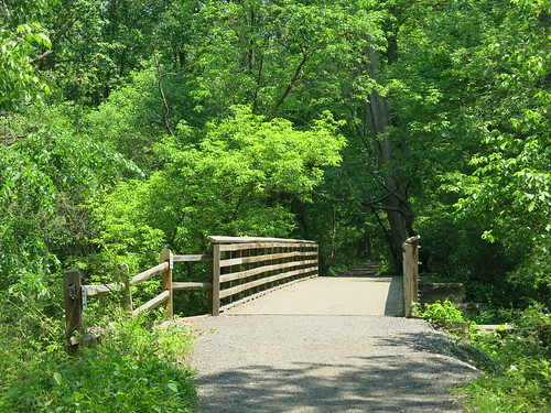
4.0 mile lollipop loop; 211ft. elevation gain; Moderate
There are many trail near Lake Roland, but this version combines several trail types for the best experience. Forests, steep ridges, bridges, rick piles, boulders, and wildlife are a few of the attractions along the trail.
West Virginia
North Prong/Big Run Loop
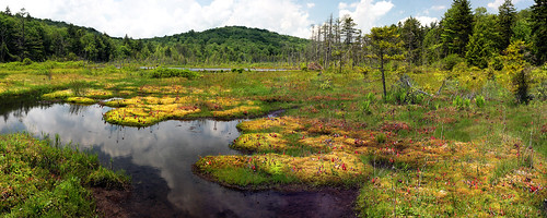
7.1 mile loop; 800ft. elevation gain; Moderate
Streams and meadows feature along the North Prong/Big Run Loop. So while you might not get big views, chances are you’ll have the trail to yourself.
Virginia
North River Gorge
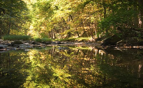
12.5 mile loop; 2,070ft. elevation gain; Moderately Strenuous
With rivers and big views, the North River Gorge is a fun and interesting hike. It’s made more interesting with more than 9 river crossings – perfect for a summer hike, but don’t go after a heavy rain.
North Carolina
North Harper Creek Falls

7.3 miles out & back; 1,200ft. elevation gain; Moderate
While Harper Creek Falls gets all the hype, North Harper Creek Falls is just as scenic – if not more so – with a fraction of the crowds. If you want to explore beyond the falls, there are opportunities to do so, as well as several campsites along the route.
South Carolina
Opossum Creek Falls

4.6 miles out & back; 839ft. elevation gain; Moderate
The trail to Opossum Creek Falls travels through the forest, past a beach on the Chattanooga River, and then to the pretty waterfall. The creek must be forded, so be ready to get your feet wet.
Georgia
Vickery Creek

4.1 mile loop; 401ft. elevation gain; Moderate
The waterfall along Vickery Creek is actually a dam spillway, constructed to bring water power to two mills in the 1800s. With views of the creek, a covered footbridge, and the remains of the mill buildings – which were burned by Union forces during the Civil War – the hike is sure to be interesting.
Zone 10
New England & Atlantic Coast (Maine, New Hampshire, Vermont, Massachusetts, Rhode Island, Connecticut, New Jersey, Delaware)
Maine
Bald Rock Mountain
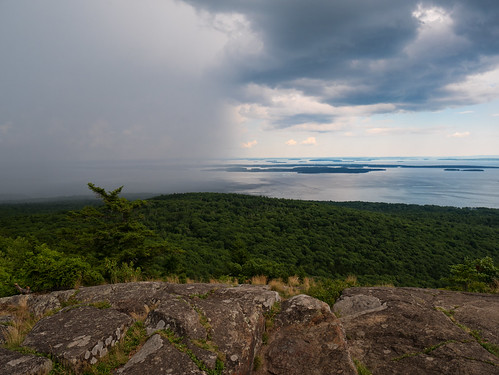
3.4 mile lollipop loop; 832ft. elevation gain; Moderately Strenuous
Using several different trails, this route takes you up to the top – and back down – Bald Rock Mountain. From the top, views are spectacular to the islands of Penobscot Bay.
New Hampshire
Mt. Crag
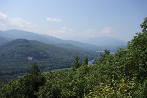
2.3 miles out & back; 640ft. elevation gain; Strenuous
A favorite for trail runners and day hikers alike, Mt. Crag is a little mountain with big views. If you feel like hiking further, there aer several trails in the area which can be explored.
Vermont
Mt. Ascutney via the Weathersfield Trail

5.7 miles out & back; 2,263ft. elevation gain; Strenuous
The trail up Mt. Ascutney is anything but easy, but hikers agree that the view from the top is well worth the trek. The waterfall and glider take-off along the way are highlights.
Massachusetts
Noanet Peak & Powissett Peak
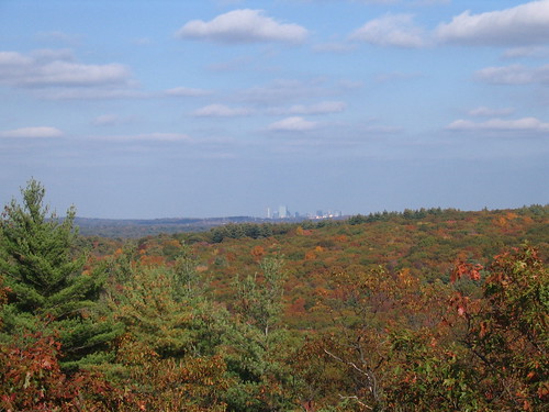
6.2 mile loop; 497ft. elevation gain; Moderate
This double loop takes in the summits of both Noanet Peak and Powissett Peak. There are plenty of variations to make the loop your own – from cutting it in half and hiking to only one peak to taking various other trails within the Noanet Woodlands and Hale Reservation.
Rhode Island
East Beach Loop

2.3 mile loop; 18ft. elevation gain; Easy
There are many variations to the East Beach Loop, ranging from short strolls to much longer treks. Enjoy ocean views, birds, local flora, and more along however long you decide to walk.
New Jersey
Cliff Park Loop

2.7 mile loop; 350ft. elevation gain; Moderate
The Cliff Park Loop is likely one of the most scenic in the area. It visits a small pond, Hackers Falls, and Minisink Overlook along its nearly 3 miles. For a longer, just as scenic version, try the Best of Cliff Park and Raymondskill Falls loop.
Delaware
Woodlawn Trail
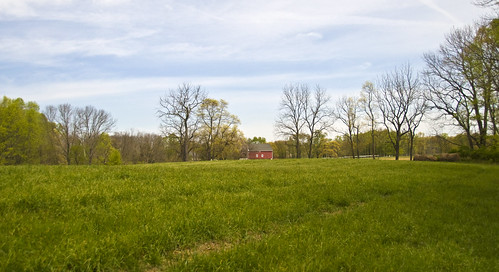
4.5 mile lollipop loop; 547ft. elevation gain; Moderate
The Woodlawn Trail is more of an adventure than just following a trail. The path zigzags through overgrown areas, vague paths, past multiple spurs, and sometimes skirts private property (always obey posted signs). The good news? You can hike this place multiple times and never take exactly the same route!
