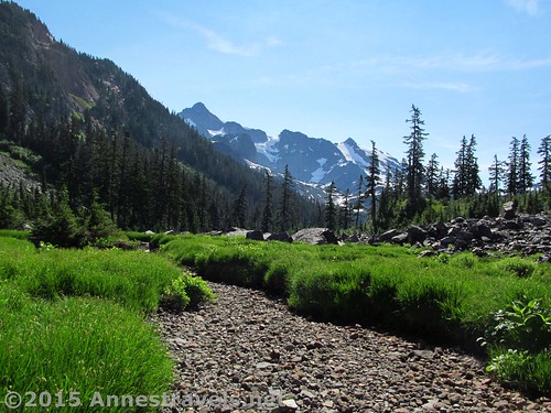
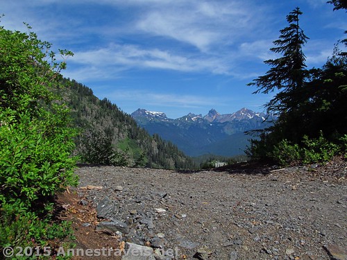
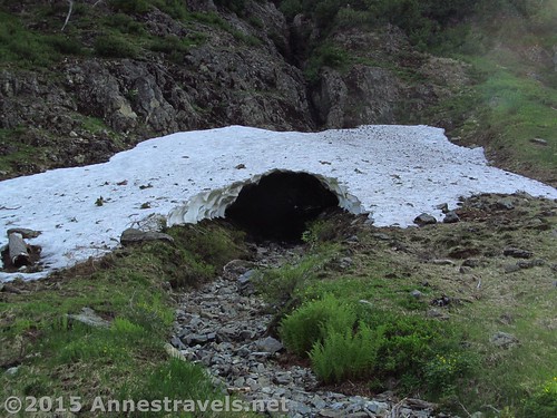
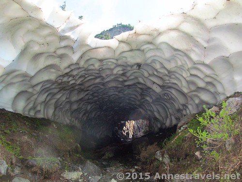
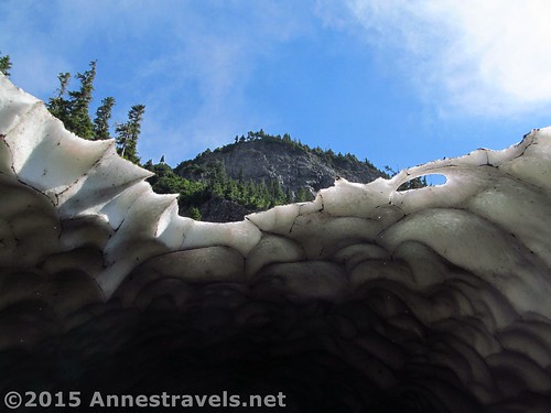
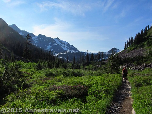
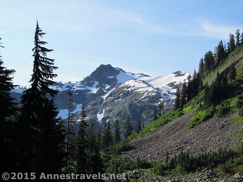
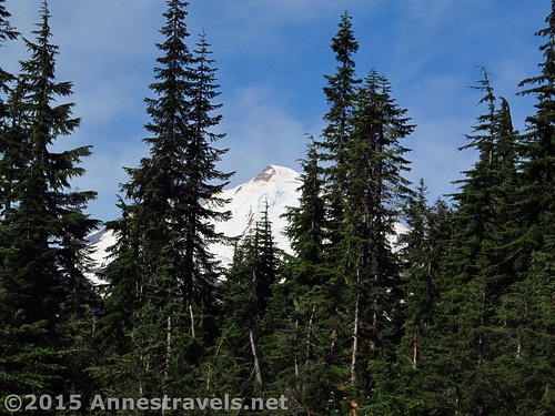
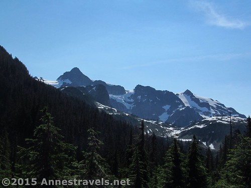
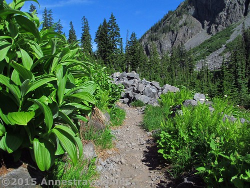
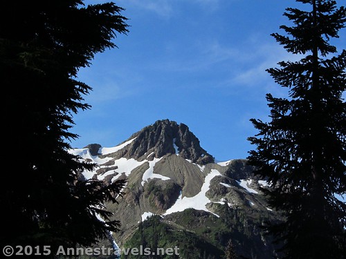
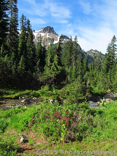
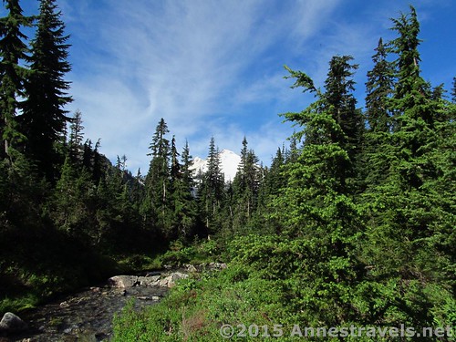
We really didn’t need to hike another trail. We’d already hike most of the best-of-the-best around the Mt. Baker Highway, including Ptarmigan Ridge, Heliotrope Divide, Artist Ridge, and Skyline Divide. Still, it was supposed to be rainy in North Cascades National Park (which it was) so we needed a half a day of adventuring before heading south. So, for lack of information about a better short trail to hike, we walked about 2.75 miles down the Lake Ann Trail, which brought us to Swift Creek. I won’t call it the most scenic of the trails around Mt. Baker (hardly!), but it had enough interesting photo opportunities that I thought I’d share them with you all. Enjoy!
Quick Stats
Round Trip Trail Length: 5.5 miles (round trip to Lake Ann – which I hear has very good views of Mt. Shuksan – is 8.2 miles)
Highest Elevation (trailhead): 4,751 ft.
Lowest Elevation (Swift Creek Trail Junction): 3,922 ft.
Net Elevation Gain / Loss: 829 ft.
Facilities: None
Fees: $5/day (must purchase daily pass at the visitor center in Glacier – the machine is open 24 hours during the summer). Alternatively, America the Beautiful (Interagency), Senior (Golden Age), Access (Golden Access), Volunteer, Military, and Northwest Forest Service Annual Passes can be displayed. Per the park ranger, leaving your pass number in your windshield is not acceptable and the area is frequented by park rangers who ticket vehicles without passes in their windows (and I’d say frequented isn’t strong enough – there are park rangers poking their flashlights in our windshield even in the middle of the night!) Apparently pass theft isn’t a problem here (we left ours in the window for about a week and never had an issue). Discovery Passes not accepted!
Trail 


Road 


Signs 


Scenery 


Would I go 100 miles out of my way for this? 


Overall Rating: 


Key GPS Coordiantes
Lake Ann Parking: 48.85003N / -121.68628W (48° 51′ 0.1074″ / -121° 41′ 10.6074″) (4,657ft.)
Trail beginning: 48.84996N / -121.68599W (48° 50′ 59.856″ / -121° 41′ 9.564″) (4,751ft.)
Enter Mount Baker Wilderness: 48.84728N / -121.68014W (48° 50′ 50.2074″ / -121° 40′ 48.5034″) (4,307ft.)
Swift Creek Trail Junction: 48.83366N / -121.65742W (48° 50′ 1.176″ / -121° 39′ 26.712″) (3,922ft.)
The gpx file for the Lake Ann Trail to Swift Creek can be downloaded – please note that this and the GPS Coordinates are for reference only and should not be used as a sole resource when hiking this trail.
GPX Download File size: 121.4 KB Downloaded 161 times
(Note: I do my best to ensure that all downloads, the webpage, etc. are virus-free and accurate; however, I cannot be held responsible for any damage that might result, including but not limited to loss of data, damages to hardware, harm to users, from use of files, information, etc. from this website. Thanks!)
Getting to the Lake Ann Trailhead
From the ranger station in Glacier, WA, drive east on the Mt. Baker Highway (WA-542 E). Take this paved, white-knuckle-inducing road 23 miles to the Lake Ann Trailhead, on left. Artist Point is about a mile beyond the trailhead.
Zoom map out to browse nearby hikes & places of interest
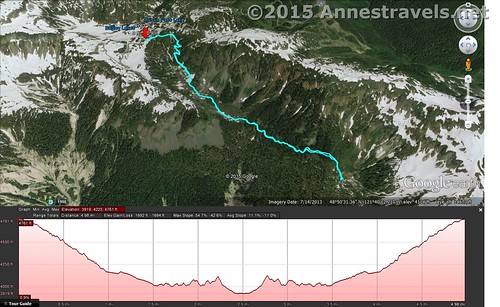
Visual map of the Lake Ann Trail as far as Swift Creek. From here, the trail slopes upward to Lake Ann. North is up.
This Week’s Featured Product!
With lots of hikes, and great descriptions and maps, this is a great reference book for the northwestern Washington hiker.



Pingback: Joining in God’s Pleasure - Anne's Travels