I love top-of-the-world feelings. When you’re high up above everything else around you, it gives you a feeling of being so high, so free, and the views are usually quite good as well. One place in northern California that you can get a feeling like this without technical climbing equipment is Green Butte, above the Old Ski Bowl on the side of Mt. Shasta. The parking area is fairly well-known, but I’ve never met anyone on the Green Butte itself. This may be because there’s no specific trail up the butte, but it’s listed as trails on Mt. Shasta, so I suppose it must be some sort of a destination.
To get to the parking area, from I-5 take Exit 738 onto West Lake Street. If you’re coming from the south, turn right, if you’re coming from the north, go left onto West Lake Street. Follow West Lake Street through the town of Mt. Shasta until it T’s into/becomes Everett Memorial Highway. Turn left on the “highway” and follow this road to its end, high on the side of Mt. Shasta. There are two parking lots, but we have always parked in the upper one where there is an information board (unfortunately not very helpful) and a couple of picnic tables. Along the way up to the parking area, you will pass the Bunny Flat trailhead, where the road is closed during the winter season. There is a primitive restroom here; it is the last you’ll see until you come back down here, so plan accordingly.
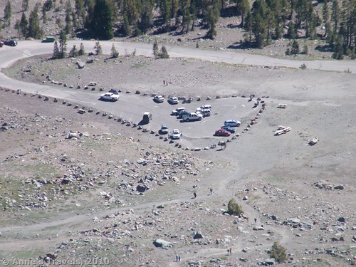
Green Butte is the huge outcrop of green/red rock to the left of the parking area. It’s a good thing to take note of its position here, as things become a little more confusing higher up. There are several trails that start from this parking area; you want the one that starts at the far end of the parking area. The parking area was quite crowded both times we hiked this trail (August 2004 and September 2010); however we saw no one either time we were hiking on Green Butte itself. We saw several people going to the ski bowl, and one man coming down presumably from the butte, but the rest must have been elsewhere, because we were basically on our own. This was especially surprising the second time we hiked there, because it was a very hot Saturday, so people were coming up to escape the heat of the valley. I’m guessing the trail is about 4-6 miles round trip.
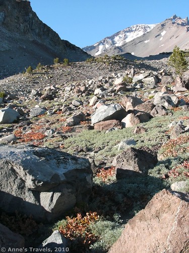
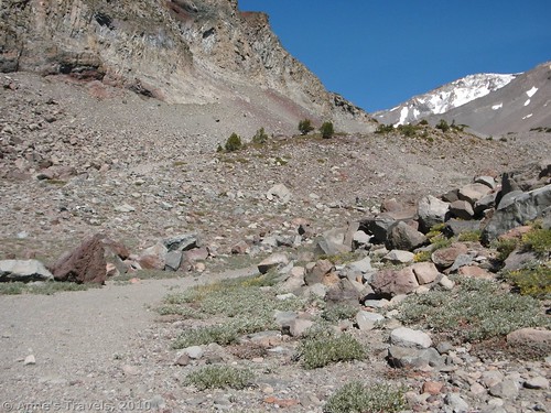
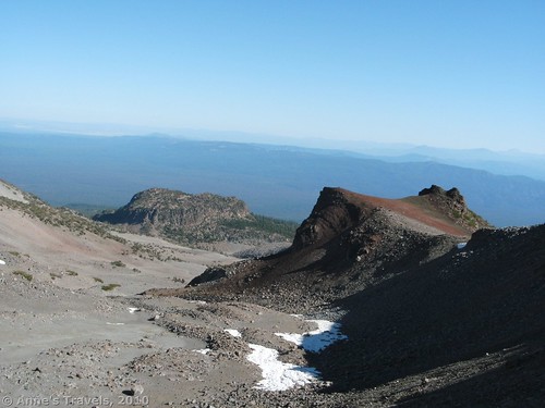
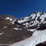
Follow trail up until it comes to a stream. I’ve rated the trail as a 2, but that is because the second half of the hike has no trail, it is more of a route up to the buttes. However, the first part of the trail is quite good and easy to follow; I would probably give that section at least a 3 rating. Follow the trail up along the stream (not very close, although you can still see it) until the trail heads away from the stream and begins to climb over a ridge. Before you really start to climb the ridge, a trail goes off on the left (toward Green Butte). Take this trail around the ridge and up beyond it. From here on out there really is no trail; the route is a scramble up the rocks to the top of the ridge. I don’t recommend you climb up the red scree; we climbed (or perhaps jumped would be a better description) down the scree the first time we hiked Green Butte, and I would definitely not want to do that again, let alone climb up it. So, we scrambled up the ridge on the far side of the red scree. In the valley below the scree we found some snow, left over either from last winter’s snowfall, or, more probably, an early snowfall this year that had mostly melted.
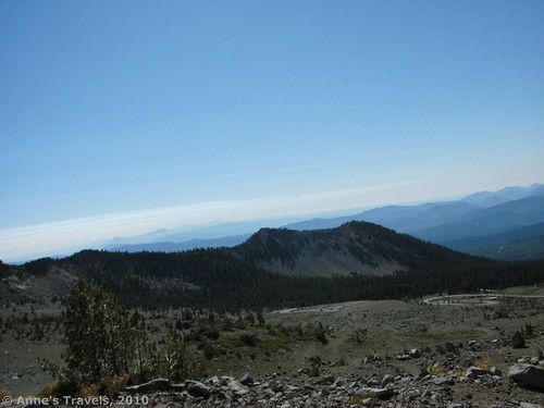
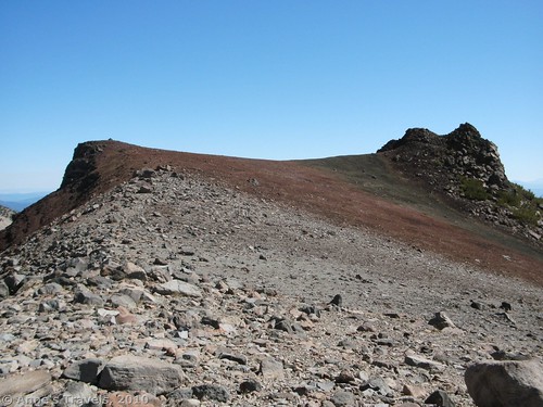
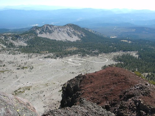
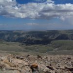
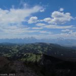
After you get to the top of this ridge, and you have admired the awesome views, you will want to turn left and head toward Green Butte. On the way you will walk across some very pretty orange, black, and red pumice. From far away you’d never guess that there could be so many different colors all mixed together. Eventually, you will climb up onto some volcanic spires. This is probably the best place to stop and enjoy the fabulous views.
After we got done goggling at the view from the spires, we headed back along the ridge, but instead of climbing back down the way we’d come, we continued along the ridge. There are more great vistas to see along the ridge, although there are a few places where you will have to climb over rocks, and some scrambling is required. At some point along this ridge you will have to climb back down to the valley. This can be a tricky business, as the rock is loose, and you’ll probably get shoes full of gravel long before you’ve reached the bottom. We found a little trail, but it was obviously a social trail, and could easily disappear over a winter. Once we got back down into the valley, we headed back towards the red scree, and the trail back to the parking area.
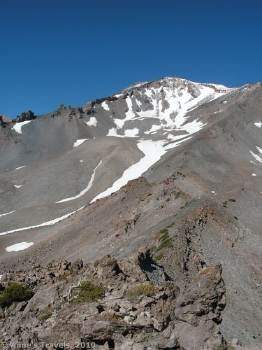
Views from the ridge are probably best in the afternoon, although if you want views of Green Butte from the parking area, you should take them in the morning, as the butte is in shadow in the afternoon. Actually, this is a south-facing slope, so the views of Shasta are good all day long, although I found them to be best an hour or two before sunset. The parking area is very popular with those taking sunset pictures, and when we left, after the sun had gone down, there were still many, many cars in the parking lot. You’re not allowed to camp this high on the mountain, so the people would have to descend a thousand feet or so before they could set up a camp for the night.
One interesting feature that may not last very long (we’ll see) is located on the south side of the parking area; in other words, to the left as you’re driving in. Someone has made a maze out of rocks, and we had a wonderful time running around and around in circles to the center. It’s well worth checking out if it’s still there.
Fees: A $5 per vehicle per day fee may be required. Shasta-Trinity Annual, Interagency, Golden Age, and Golden Access passes also accepted.
Trail 


Road 


Signs 


Scenery 


Overall Rating: 


This Week’s Featured Product
Explore the Mt. Shasta area with this book with 50 hikes to choose from.

Pingback: 12 Trails that Require Hands & Knees, River Crossings, and Other Adventures
Pingback: Anne's Travels » Link Roundup: My Favorite Hiking Websites
Pingback: Celebrating 20 Years of Family Vacation - Anne's Travels