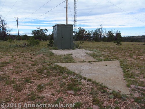
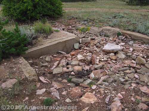
All that’s left of the Pilot Hill concrete aircraft arrow – the generator shed and beacon tower are no longer standing, but the arrow is in good condition.
In the early days of Aviation, there wasn’t radar, radios were finicky, aerial photography didn’t exist, and pilots had little choice but to know landmarks as best as they could from the sky. Thus, when transcontinental flight began to “take off” in the 1920s, it became necessary for some kind of landmark to be put into place to allow pilots to know where they were at any given moment, or at least which way to turn to stay on course. The solution was to make a string of concrete arrows, visible from the sky, with beacon lights on them at night.
Although many of these arrows have been destroyed or crumbled into nothing, some still exist in many states across the US (this is a great site about finding various arrows). I had the opportunity recently of visiting two of the arrows in Wyoming, both fairly close to I-80. I’ll talk about the first arrow (#37 Pilot Hill) in this post, and the second (#32 Medicine Bow) in another post.
As I was coming from the east, the first arrow I visited was just off of Exit 323. This is the same exit as for the Lincoln Rest Area (High Point on I-80), so that’s also worth a stop if you decide to visit the area. This arrow is known (per dreamsmithphotos.com) as Pilot Hill #37, and was used by the Boeing Air Transport for a San Francisco to Chicago route (hmmm…doesn’t I-80 do the same thing???)
The road to Pilot Hill is dirt, but should be passible (in good weather conditions) for most vehicles that don’t mind a bit of washboard and bumps. I think we might have appreciated our high clearance in a couple places, but it wasn’t awful.
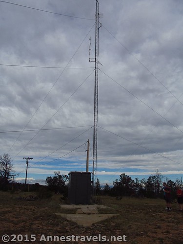
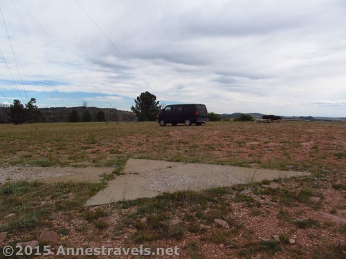
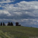
Parking is just on top of a hill next to a radio tower. There’s no paved parking; no sidewalks; it’s just gravel, grass, dirt; real wild Wyoming.
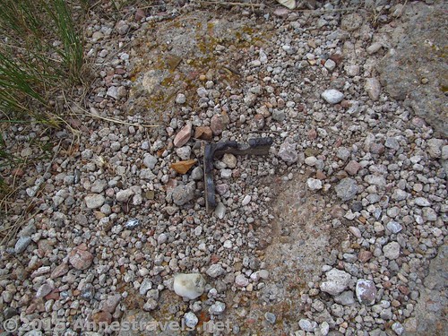
All that’s left of the generator shed and beacon are a crumbling foundation and the remains of the tower’s steel girders, cut off at ground level. Oh, well. At least the concrete arrow still exists.
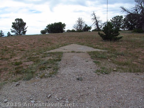
The most surprising thing to me was just how small the arrow was. The point part was no more than about 5 or 6 feet long. I guess those planes must have been flying pretty low!
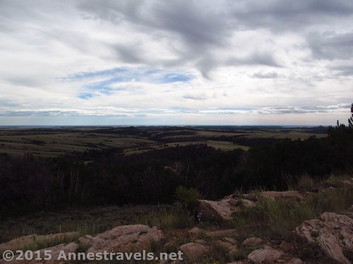
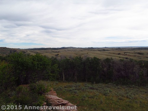
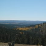
And the view from Pilot Hill is none too shabby – so when you’re tired of looking at the arrow and radio towers, simply turn around!
Required walking distance: None, although if you really want to see the arrow, you’ll need to get out of your car and walk maybe 50 feet RT. Of course, you could always extend your walk – there’s plenty of trails in the area.
Facilities: None; you can get water, information, restrooms, picnic tables, etc. at the Lincoln Rest Stop.
Notes: Don’t vandalize, and remember you’re on government-owned property – keep the area clean and open to the public. Also, I wouldn’t recommend visited during hunting season, as it wouldn’t shock me at all if hunting was allowed in the area.
Fees: None.
Walking difficulty 


Road 


Signs 


Scenery 


Would I go 100 miles out of my way for this? 


Overall Rating: 


Key GPS Coordinates for the Pilot Hill Aircraft Arrow
Parking: 41.26800N / -105.43353W (41° 16′ 4.8″ / -105° 26′ 0.708″) (8,768ft.)
Arrow: 41.26787N / -105.43363W (41° 16′ 4.332″ / -105° 26′ 1.0674″) (8,768ft.)
Getting to the Pilot Hill Aircraft Arrow
Take the exit for the high point on I-80 (Lincoln Rest Stop – Exit 323) and head north on WY-210 E. After 0.9 miles, turn left onto W Pilot Peak Road for a mile; turn right onto Forest Road 703B. After 0.1 mile, take a slight right onto Forest Road 703BA; 262 ft. later, take another slight right onto Forest Road 703BA / Forest Road 703BC. Arrive after 0.1 miles. The roads when we visited were dirt but where in fairly good condition. High clearance and you’d be fine. You could probably also do it in low clearance if you took it *really* slow and didn’t mind getting out and walking if it didn’t work out for you.
Zoom map out to browse nearby hikes & places of interest
This Week’s Featured Product!
This unique book covers the oddities and normalities of Wyoming – across prairies, through canyons, badlands, mountains, lakes, and old towns, this book lets you know what you’re seeing and truly takes you on an adventure.



Pingback: Blog Sneak Peak: The Wyoming You Never Knew
Pingback: Medicine Bow Aircraft Arrow - So Photogenic!
Pingback: Visting the I-80 High Point at the Summit Rest Area - Anne's Travels