We arrived at the Green River Lakes a bit late to take a hike. Yet I really wanted to do a circuit around the Lower Green River Lake. Squaretop, so I’d seen in the pictures, was so magnificent. And the trail would be flat, more or less, and only 6.5 miles RT, making it an ideal dayhike in the Wind Rivers. After all, we’d been cooped up in the van all day…
Quick Stats
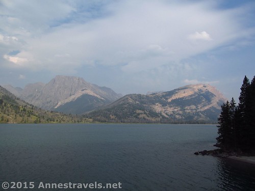
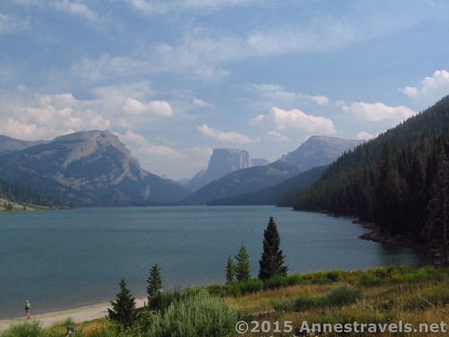
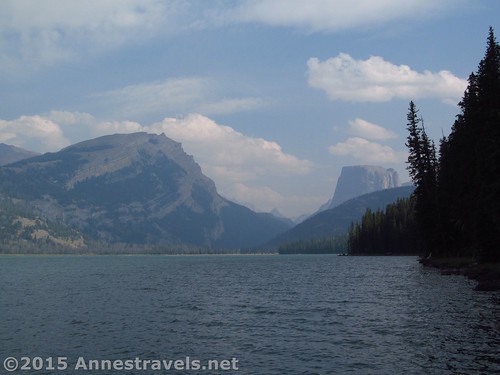
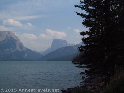
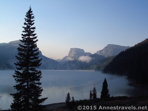
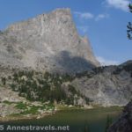
These are about the best views you’ll see from the Lakeside Trail itself. So I recommend you walk along the lakeshore at first to get the best views over the lake and toward Squaretop.
So we had an early supper in the parking lot, then headed off in the direction the sign pointed for the Lakeside Trail (from the cabin near the parking area, turn right). The dusty trail almost immediately dumped us out on the road with no signs in sight. Ok. Now what? So we turned left, toward the boat ramp, then seeing the lake, took off in as straight as possible a route to the lakeshore. After all, a trail called “Lakeside” would have to be right along the lakeshore, right?
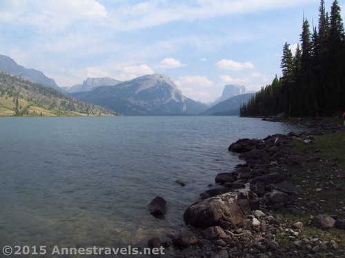
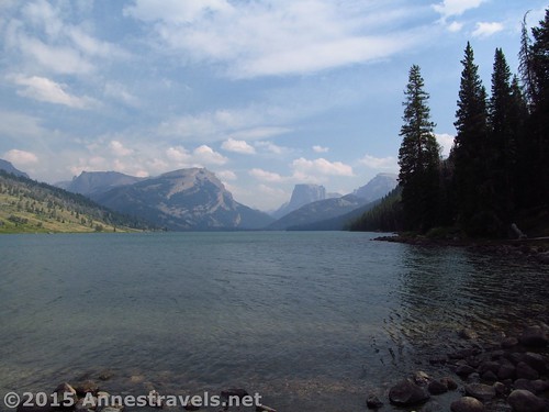
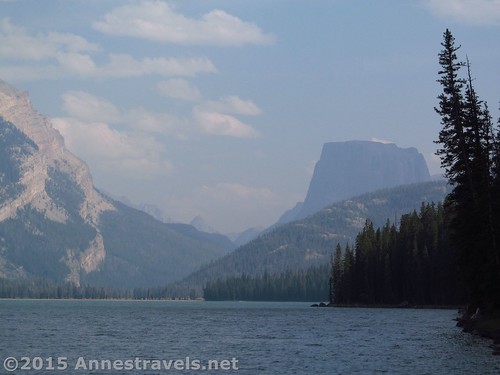
Well, maybe not. Somewhere between where we hit the road and met the lakeshore, the Lakeshore Trail goes off to the right. But since the Lakeshore Trail doesn’t follow the lakeshore particularly closely, and doesn’t offer much in terms of views (unless, of course, you’re pining after a spruce forest), I can highly recommend going down to the lakeshore to enjoy the views of Squaretop, then turning right and more or less following the lakeshore (with occasional views of Squaretop) for a mile or so until a cliff effectively forces you back onto the trail.
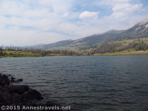
The water level in the lake will determine exactly how closely you can follow the shoreline. There are multiple social trails over roots and up and down like a rollercoaster over tiny streamlets near the lake, so follow these (the social trails, not the streamlets) if the water is too high to go along the shore proper, or you aren’t a fan of rock-hopping.
From the shore in several places, the views over Squaretop are magnificent, just like I’d expected!
Finally, when the rocky lakeshore hits a sheer cliff into the water, regain the real Lakeside Trail, which, while rolling with roots and several small stream crossings, is in much better condition than the social trails. The Lakeside Trail makes its way to the end of Lower Green River Lake (not that you can tell; you’re in the trees) and then quite a ways inland before meeting up with the Porcupine Pass Trail at mile 2.9. Turn left here, following the sign for the Highline Trail.
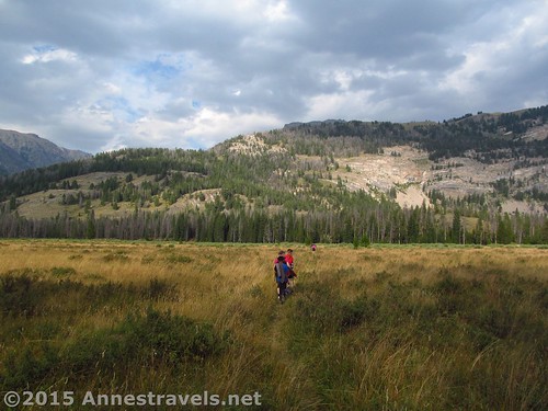
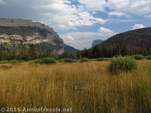
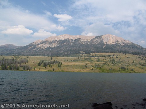
Now the trail enters a kind of lovely section, if low on spectacular views, with low bushes, tall grasses, and a trail through it all. White Rock rears high above on the other side of the valley. There’s no views of the lake and few of Squaretop, but, hey, this is great, too!
Only 0.3 miles later, come to a bridge over the Green River. Here, you can choose to go back the way you came, or you can turn left again on the Highline Trail. As the Highline Trail has spectacular vistas, I highly recommend this loop!
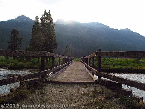
Bridge that links the Porcupine Pass Trail to the Highline Trail over the river between the two Green River Lakes
Round Trip Trail Distance: About 6.5 miles
Lowest Elevation: 7,957 ft.
Highest Elevation: 8,049 ft.
Net Elevation Gain / Loss: 92 ft.
Facilities: Drinking water and primitive toilets at the trailhead. Campground nearby (and opportunities for free-range camping also nearby…oops, maybe I shouldn’t have let that secret out!)
Fees: None
Trail 


Road 


Signs 


Scenery 


Would I go 100 miles out of my way for this? 


Overall Rating: 


Key GPS Coordinates for the Highline Trail
Parking: 43.31404N / -109.85827W (43° 18′ 50.5434″ / -109° 51′ 29.772″) (8,029ft.)
Trail beginning: 43.31382N / -109.85838W (43° 18′ 49.7514″ / -109° 51′ 30.1674″) (8,040ft.) (0.0 – ended 6.5)
Highline Trail / Lakeside Trail Junction: 43.31371N / -109.85839W (43° 18′ 49.356″ / -109° 51′ 30.2034″) (8,049ft.) (50ft.)
Turn onto road: 43.31285N / -109.85941W (43° 18′ 46.2594″ / -109° 51′ 33.8754″) (8,026ft.) (0.12)
Regain Trail: 43.31090N / -109.85825W (43° 18′ 39.2394″ / -109° 51′ 29.6994″) (7,999ft.) (0.27)
Lakeshore: 43.31040N / -109.85773W (43° 18′ 37.44″ / -109° 51′ 27.828″) (7,963ft.) (0.33)
Porkupine Pass Trail Junction: 43.28326N / -109.83688W (43° 16′ 59.7354″ / -109° 50′ 12.7674″) (7,979ft.) (2.9)
Three Forks Junction: 43.28300N / -109.83119W (43° 16′ 58.8″ / -109° 49′ 52.284″) (7,966ft.) (3.2)
The gpx file for Green River Lake Circuit (including the Highline Trail) can be downloaded – please note that this and the GPS Coordinates are for reference only and should not be used as a sole resource when hiking this trail.
Download GPX File size: 128.7 KB Downloaded 454 times
(Note: I do my best to ensure that all downloads, the webpage, etc. are virus-free and accurate; however, I cannot be held responsible for any damage that might result, including but not limited to loss of data, damages to hardware, harm to users, from use of files, information, etc. from this website. Thanks!)
Getting to the Highline Trail / Green River Lakes
In Pinedale, WY, head north on US-191. After nearly 6 miles, turn right onto WY-352 for 25.3 miles. (This turn is 5 miles south/east of where US-191 leaves US-189). The roads are entirely gravely / dirt after this, but are fairly well-maintained and should usually be accessible for low clearance vehicles. Continue straight onto the Green River Lakes Road for 18.5 miles. Take a slight left to not turn into the campground, then turn left toward the parking areas instead of the boat launch. Near the restrooms, turn right toward the hiker parking instead of the corrals. The parking area is large, but fills up during the summer months.
(By the way, there is technically a way to take a shortcut across the mountains on dirt roads via Union Pass. It’s even more or less on the AAA Wyoming map. Well, I’ve tried it, and it would probably be faster (and certainly easier on your vehicle) to take the paved roads south around the mountains (north might also be faster, but you’ll have to go through Grand Teton National Park, and while you won’t have to pay for that section of highway, the speed limit is also lower!) Scenery-wise, all three routes are really pretty, so enjoy the views of badlands, buttes, and the western side of the Wind Rivers (going around the southern end), views of meadows, trees, and mountain region (not really mountains) via Union Pass, or the Tetons and Togwotee Pass (via the northern route).)
Zoom map out to browse nearby hikes & places of interest
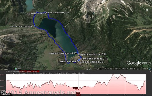
Visual trail map for the Lower Green River Lake Circuit (Lakeside Trail on the right, Highline Trail on the left)
This Week’s Featured Product!
Although I prefer hiking and mountains to fishing and lakes, the Wind Rivers have their share of fly fishing opportunities, and the lakes around the Green River Lakes are a wonderful place to not only fish, but to enjoy the idyllic solitude and spectacular scenery much of the Wind Rivers offers.

Pingback: Blog Sneak Peak: The Wyoming You Never Knew
Pingback: Highline Trail Along Lower Green River Lake - Anne's Travels