The Lewis & Clark National Historical Park is a wide-spread park (or really, collection of park units) near Astoria, the far north of Oregon, where the Columbia River meets the Pacific Ocean. As far as we can deduce, this is where Lewis & Clark wintered in 1805-1806, preparing for their return to the East. The expedition constructed Fort Clatsop in just three weeks, its location suggested by local Native American Clatsop tribe, with groups from the expedition going to the coast for exploration, hunting, and to make salt. (You can see the salt works in the town of Seaside; I didn’t take the side trek, but it’s open more or less 24/7 if you decide to go.)
Fort Clatsop / Netul Landing Quick Stats
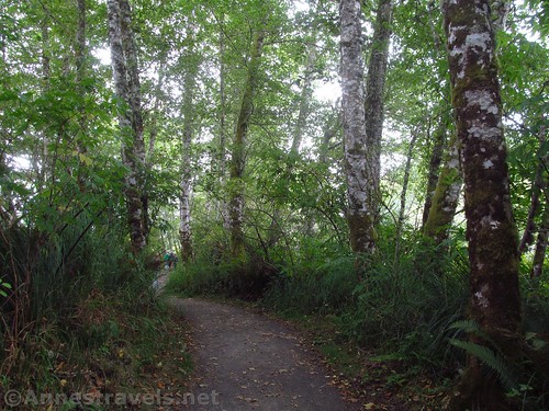
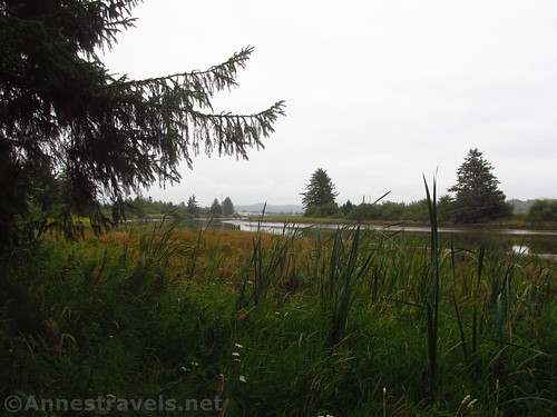
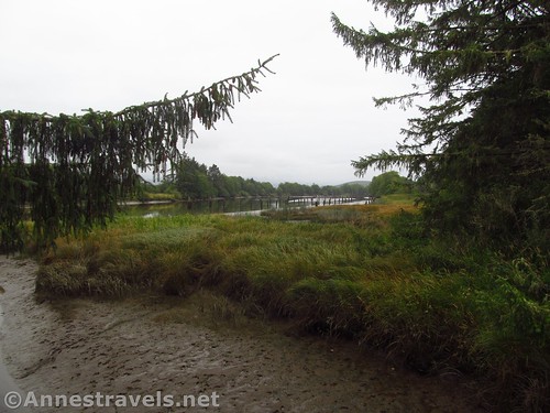
We arrived at Fort Clatsop very, very early one morning in August. The air was misty, and it was so early the visitor center wasn’t open yet. So we continued down the road to Netul Landing and walked the Netul River Trail 1 mile along the quiet river (learning of the history of logging, etc.) to a junction pointing toward the Visitor Center vs. the Fort. We went up toward the visitor center probably about a quarter mile from the junction, and hung out for a while looking at the exhibits.
The furthest west point Lewis & Clark went was Tillamook Head, which can be accessed by the Clatsop Loop Trail in Ecola State Park, some 20 miles south, just north of the town of Cannon Beach. Confusing, isn’t it?
While we were there, a group in military fatigues came in – they were training nearby, and the sergeants thought it would be good to hike to and from Fort Clatsop on the Fort to Sea Trail. So they all lined up and got their military park passes. I thought, this is going to take forever! But the park staff was great and they all had passes within just a few minutes.
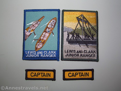
Now the real reason we were hanging around the museum was because we had printed junior ranger booklets off the park website (see https://www.nps.gov/lewi/learn/kidsyouth/beajuniorranger.htm) (you can also get them at the visitor center). We had filled out about as much as we could ahead of time, but there were exercises that we needed to do at the park itself. The park staff was great about it all; many of us were “too old” to be junior rangers (goodness, many full-fledged rangers are younger than some of us!) but they good naturedly helped us out and gave us our badges after we had visited the fort.
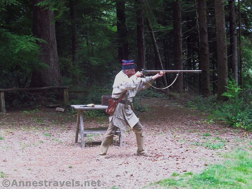
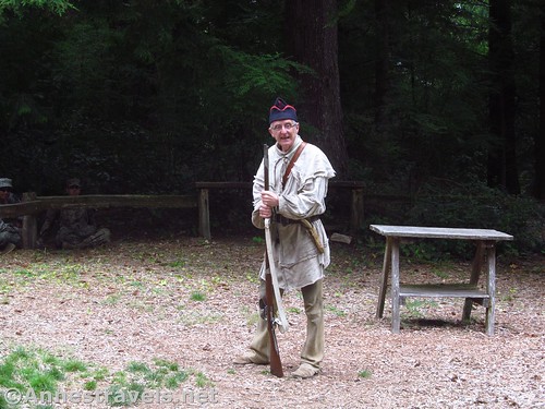
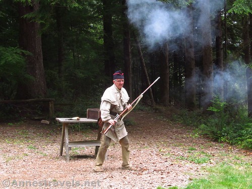
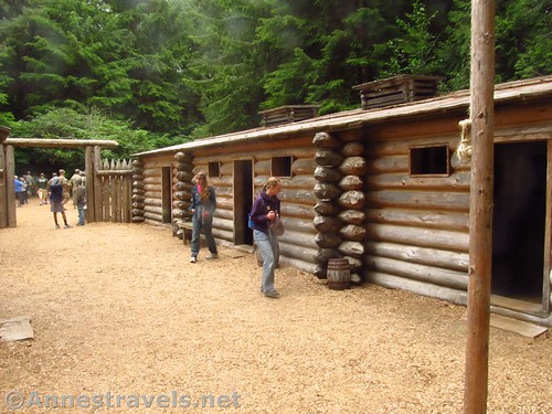
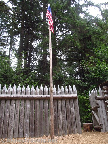
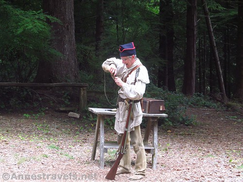
After checking out the visitor center, we went down to the fort. It’s pretty small. But the interpreters are great. We arrived in time for a musket demonstration, and that guy was good. He told stories (very funny, and double funny because of the way he told it) before he shot it off, and the look of satisfaction on his face when it shot – the very first time – was great!
He told us ahead of time that he was only shooting off a wad of paper. Also, other rangers made sure there was no one in the line of fire – we wouldn’t want anything going wrong here, even if it is only a wad of paper!
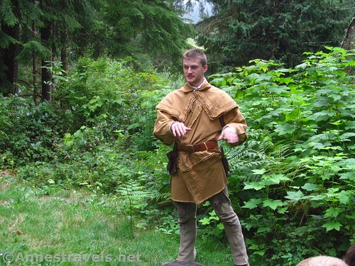
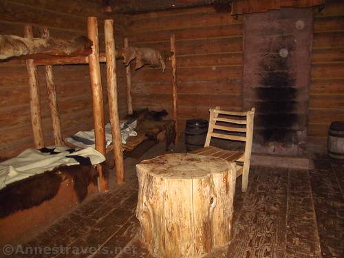
Later, inside the fort, he yarned us tales of the Lewis & Clark expedition. I think most of us could have spent a long time listening, but after a while he said he’d told us everything he knew. So that was that.
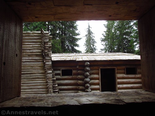
The fort was reconstructed in 1955, I read later, but was destroyed by a fire in 2005. Volunteers rebuilt the fort (a bit more realistically, and more roughhewn, I think) in 2006.
We went back to the visitor center for our badges (and restrooms!), then hiked back the very flat mile to where we had left the van. Overall, it wasn’t an earth-shattering experience, but it was a fun way to spend a morning!
Round Trip Trail Length: I went 3.5 miles, but that includes a lot of wandering around the fort, etc. Without hiking the Netul Landing Trail, you probably won’t walk more than about 0.5 miles; with the trail, you’re talking closer to 2.5-3 miles.
Net Elevation Change: 115ft. (0ft. along the Netul Landing Trail to 115ft. at the visitor center)
Facilities: Restrooms and visitor services at the visitor center
Fees: $5 per person, valid 7 days. National Park & Federal Lands Passes cover the pass holder and up to 3 additional individuals over 16 (those under 16 are free).
Trail Notes: The Netul River Trail is a quiet, peaceful little trail. If you visit the fort, do so when there are interpreters around, as they make the experience much more interesting! Try to also catch a demonstration or two (usually held under the wooden awning just outside the fort), as often the demonstrators are knowledgeable and happy to share what they know.
Trail 


Road 


Signs 


Scenery 


Interest 


Fun Factor 


Exhibits 


Personnel 


Cleanliness 


Price for value 


Would I go 100 miles out of my way for this? 


Overall Rating: 


Key GPS Coordinates for the Netul Landing Trail / Fort Clatsop
Netul Landing Trail Parking: 46.120983N / -123.876894W (46° 7’15.5400″N / -123°52’36.8200″W) (10ft.)
Netul Landing Trail Beginning: 46.121092N / -123.876667W (46° 7’15.9300″N / -123°52’36.0000″W (0 ft.) (0.0; ended 3.47)
Visitor Center / Fort Trail Junction: 46.132825N / -123.878908W (46° 7’58.1700″N / 123°52’44.0700″W) (1ft.) (1.08)
Fort Clatsop: 46.134261N / -123.879194W (46° 8’3.3400″N / -123°52’45.1000″W) (49ft.) (1.6)
Visitor Center: 46.134261N / -123.880244W (46° 8’3.3400″N / -123°52’48.8800″W) (115ft.) (2.38)
The gpx file for the Netul River Trail / Fort Clatsop can be downloaded – please note that this and the GPS Coordinates are for reference only and should not be used as a sole resource when hiking this trail.
Download GPX File size: 64.2 KB Downloaded 137 times
(Note: I do my best to ensure that all downloads, the webpage, etc. are virus-free and accurate; however, I cannot be held responsible for any damage that might result, including but not limited to loss of data, damages to hardware, harm to users, from use of files, information, etc. from this website. Thanks!)
Getting to Fort Clatsop & Netul Landing
From Astoria, OR, take US-101 BUS South out of the town. Cross Youngs Bay and stay on US-101 BUS about 1.3 miles by turning right in Miles Crossing. After 2.2 miles, turn left off of US-101 BUS onto Fort Clatsop Road. After 0.6 miles, turn left into the visitor center parking area, or continue 1.5 miles to Netul Landing. You can either park at the Landing, or you can turn left and drive another 0.2 miles to the parking area for the Netul River Trail (where we parked).
From Seaside, OR, take US-101 North 8.2 miles. Keep left to stay on US-101 N and continue another 1.5 miles. Turn right onto SE Ensign Lane (aka Ensign Lane) next to the Costco. A sign will indicate Fort Clatsop to the right. After 0.8 miles, the road will become US-101 BUS (at least according to Google Maps!) Continue another 1.3 miles; turn right on Fort Clatsop Road for 0.6 miles to the visitor center, or continue 1.5 miles to Netul Landing. You can either park at the Landing, or you can turn left and drive another 0.2 miles to the parking area for the Netul River Trail (where we parked).
Zoom map out to browse nearby hikes & places of interest
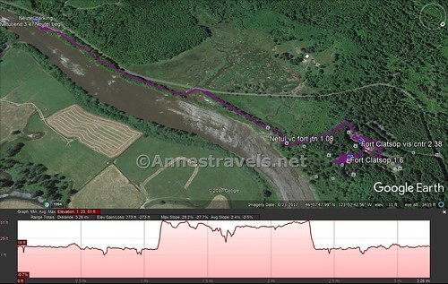
Visual trail map of my walk from Netul Landing along the Netul River Trail to the visitor center and then to Fort Clatsop
This Week’s Featured Product!
Want more about the Lewis & Clark Trail? Check out this book that highlights the best of the best along the trail.
[forecast location=”Astoria, OR” caption=”Weather for Fort Clatsop” measurement=’F’ todaylabel=”Today” datelabel=”date(‘D M d’)” highlow=’%%high%%°/%%low%%°’ numdays=”5″ iconset=”Default”]


Pingback: Hiking the Clatsop Loop in Ecola State Park - Anne's Travels