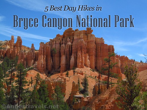
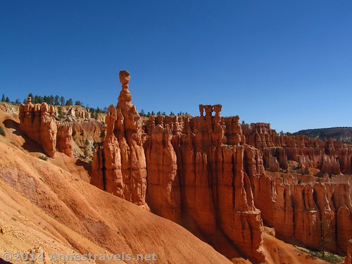
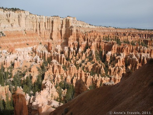
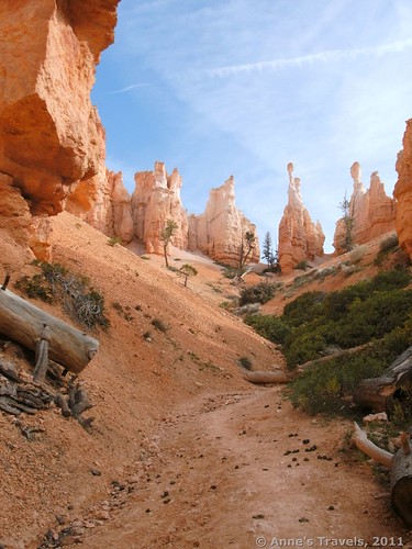
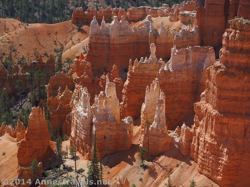
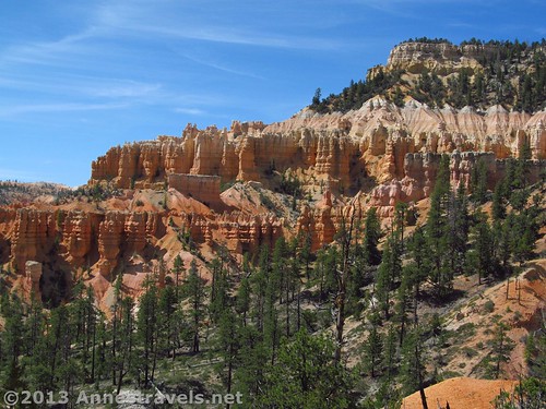
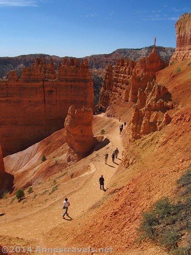
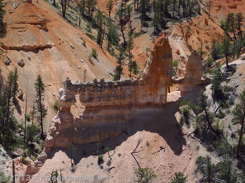
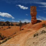
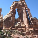
Rock Formations. Hoodoos. Creamsicles. Ever since our first visit to Bryce Canyon in 1997, it’s been one of our favorite parks in southern Utah, over Zion, Cedar Breaks, and Capitol Reef.
It gets crowded these days, but it’s still well worth visiting for the ability to walk among the unique formations, explore with the safety of trails (to keep you from getting lost), and the general beauty of the area.
If you get a chance, check out the canyon with a dusting of snow. It takes the normal beauty of Bryce to a whole new level!
Best Day Hikes in Bryce Canyon National Park
- Queen’s Garden Trail. The Queen’s Garden Trail is (IMO) the most beautiful trail into the canyon. Hike 0.8 miles to the Queen Victoria formation, or continue another mile to access more trails in the canyon. 1.8 miles one way; can be shortened or combined with other trails.
- Peek-a-boo Loop. If you can only hike one trail, do this one. For one thing, you’ll have to take another trail down into the canyon to access the loop, so you get many views of the spires from both above and below, and secondly, the views of spires along this loop are outright epic! 5.2 mile lollipop loop from Bryce Point, or combine it with a loop from the Navajo and Queen’s Garden Trails for a 5.5 mile loop and fantastic views.
- Rim Trail. The Rim Trail begins at Fairyland Point and traverses the rim (big surprise) to Bryce Point, with epic views across the canyon at almost every turn (not to mention from Fairyland Point, Sunrise Point, Sunset Point, Inspiration Point, and Bryce Point). 5.7 miles one way; can be done as a shuttle (but recognize that the park shuttle bus does not go to Fairyland Point – you’ll have to get off at Sunrise Point and walk the Rim Trail 2.5 miles back to Fairyland Point).
- Fairyland Trail. If you want a long trail, or just to see what Bryce Canyon is really like (and perhaps escape a few of the crowds), try the 8 mile Fairyland Loop. I’ll just say that it’s gorgeous with lots of different types of formations (even Tower Bridge), and leave the rest for you to discover! 8.25 miles, including taking the rim trail back to Fairyland Point.
- Navajo Trail. The Navajo Trail is actually two sections of a loop, both leaving from Sunset Point. The southerly trail goes through Wall Street (a very interesting and very steeply switchbacking trail between tall spires; often closed because of falling rocks) and the more northerly route taking you through views no less interesting in terms of spires. Either route is a perfect accompaniment to the Queen’s Garden Trail; take the shuttle or the Rim Trail (0.5 miles) back to Sunrise Point. 0.6 miles (North Navajo Trail) or 0.7 miles (South Navajo Trail) one way; together, a 1.3 mile loop.
Did I miss an epic trail in Bryce? Let me know!
Zoom map in to browse individual hikes around Bryce Canyon
Fees: $30/vehicle, valid 7 days. Federal Lands Recreation Passes, Senior (Golden Age), Access (Golden Access), Volunteer, Military, and Bryce Canyon Annual Passes also accepted
This Week’s Featured Product!
Try this book for more hikes in Bryce Canyon and Zion National Parks, from half-hour strolls to full-day adventures.
[forecast location=”Tropic, UT” caption=”Weather for Bryce Canyon” measurement=’F’ todaylabel=”Today” datelabel=”date(‘D M d’)” highlow=’%%high%%°/%%low%%°’ numdays=”5″ iconset=”Default”]

