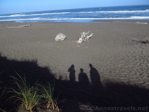
Manchester State Park, just north of Point Arena along the California Coast, is so deserted that it’s nearly been shut down – twice. But somehow it lives on, quiet and secluded, a beach with an overabundance of driftwood and excellent fishing in season (not to mention whale sightings in the winter and early spring).
Quick Stats
We only wanted to eat breakfast; to find a place where we could pull over, have a nice view, and pull out cold cereal before exploring Point Arena Stornetta National Monument later in the day. So we followed the signs to the state park and discovered, well, maybe not a hidden gem, but a place you’ll probably have to yourself (especially at 6am).
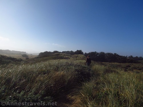
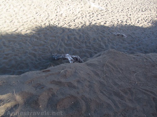
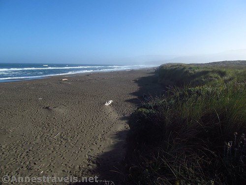
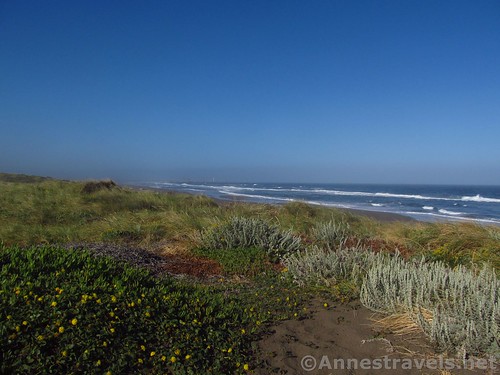
Several trails lead from the parking area across the dunes. All are sandy, a few are slightly steep, and all go over or along the dunes to or near the beach.
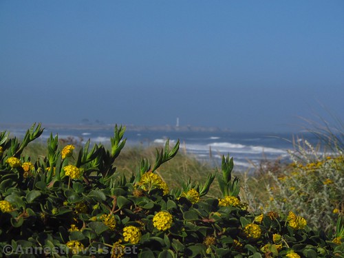
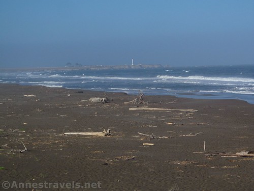
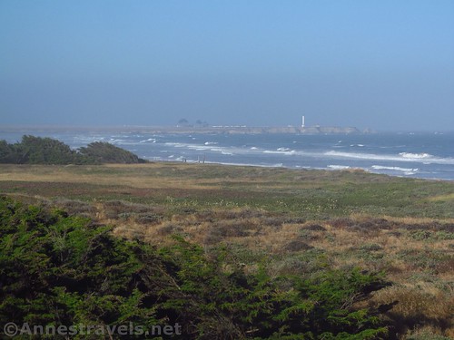
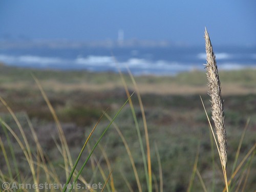
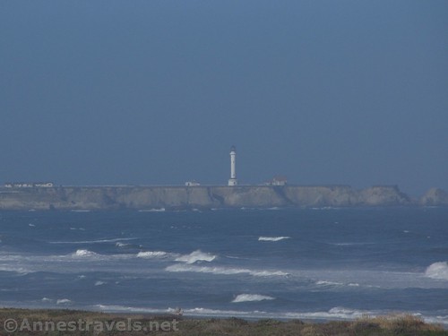
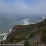
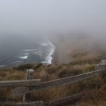
The main trail starts near the sign kiosk, but it doesn’t matter too much which trail you take – all of them seem to have a more-or-less-scramble-able drop-off to the beach – but I took one of the ones close to the road in, and the views were nice to the Point Arena Lighthouse.
I also took one of the more main trails near the sign kiosk that went off in a direction opposite to the Point Arena Lighthouse. I hear the beach walking is pretty good – there is a lot of driftwood due to its location / beach structure – but since we wanted breakfast, we returned to the van to find the cereal already out, and the younger ones already finished with eating for the time being and wondering where we were.
In general? It’s a good place to hang out in the peaceful quiet. I’m sure people come later in the day, but they seemed like the nature-loving types and not the kind that were going to sunbathe with loud radios, etc.
You can also check out the Point Arena Lighthouse Overlook for more views of the lighthouse.
Round Trip Trail Length: Varies; it’s basically what you want to make it. I hiked about 0.5 miles by taking two trails across the dunes and back to the parking area.
Elevation Change: In the realm of 40ft. It could be as much as 100ft. if you went down to the ocean.
Facilities: Primitive restrooms but no picnic tables
Fees: None
Rules & Regs: No camping, no fires, no horses, no dogs
Trail 


Road 


Signs 


Scenery 


Would I go 100 miles out of my way for this? 


Overall Rating: 


Key GPS Coordinates for Manchester State Park
Trail beginning: 38.9826583°N, -123.7056889°W (38°58’57.57″N, -123°42’20.48″W / 38°58.95950’N, -123°42.34133’W) (69ft.) (0.0; ended 0.5 overall)
Top of Dune: 38.9826528°N, -123.7059222°W (38°58’57.55″N, -123°42’21.32″W / 38°58.95917’N, -123°42.35533’W) (83ft.) (98ft.)
Trail to Beach: 38.9830861°N, -123.7056361°W (38°58’59.11″N, -123°42’20.29″W / 38°58.98517’N, -123°42.33817’W) (46ft.) (0.22)
Edge of Beach: 38.9848778°N, -123.7060278°W (38°59’5.56″N, -123°42’21.70″W / 38°59.09267’N, -123°42.36167’W) (35ft.) (0.36)
The gpx file for Manchester State Park can be downloaded – please note that this and the GPS Coordinates are for reference only and should not be used as a sole resource when hiking this trail.
File size: 12.1 KB Downloaded 0 times
(Note: I do my best to ensure that all downloads, the webpage, etc. are virus-free and accurate; however, I cannot be held responsible for any damage that might result, including but not limited to loss of data, damages to hardware, harm to users, from use of files, information, etc. from this website. Thanks!)
Getting to Manchester State Park
From the town of Point Arena, drive north on CA-1. After about 6 miles, turn left on Kinney Road, following signs for Manchester Beach State Park and the KOA campground. Drive straight, passing the entrances to the KOA campground and the state park, and turning right with the road when going straight would mean entering what looks like a water treatment plant. After 1.1 miles, the road ends at the parking area for the beach.
From Mendocino, drive south on CA-1. After about 28 miles, turn right onto Kinney Road, and follow the directions above to the beach.
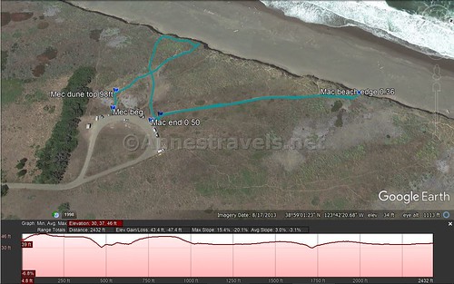
Visual trail map of my wanderings on the trails across the dunes in Manchester Beach State Park, California
Zoom map out to browse nearby hikes & places of interest
This Week’s Featured Product!
Planning a trip to the California coast north of San Francisco? This book lists almost every park and beach access available to the public.

Pingback: Be Still! - Anne's Travels