South Dakota
The Door Trail
0.75 miles out & back; negligible vertical change; Moderate
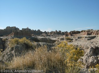
The short Door Trail (it’s mostly paved) takes you to an overlook of the badlands in Badlands National Park, but you can easily descend down to the badlands and explore. For more excitement, take the Notch Trail from the same parking area to scramble up a ladder and view the badlands from above.
Iowa
Wildcat Den Trail
3.9 miles RT; 495ft. vertical change; Moderate
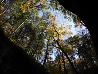
Take the trails of Wildcat Den State Park to a number of rock formations including “Steamboat Rock”, “Devil’s Punch Bowl”, and “Fat Man’s Squeeze”.
Nebraska
Saddle Rock Trail
3.0 mile shuttle or 6.0 mile out & back; 564ft. vertical change; Moderately Difficult
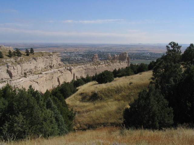
Take the Saddle Rock Trail from the visitor center across the prairie to Scots Bluff. The trail then switchbacks up the bluff (including through a tunnel) and ends at the parking area where some drive to the top of the bluff. The views are outstanding across the surrounding area.
Kansas
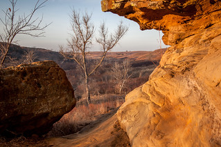
Horsethief Canyon
2.2 mile loop; 141ft. vertical change; Easy
There are a number of trails in Horsethief Canyon in Kanopolois State Park, but this loop takes hikers by a number of rock formations and a cave.
Oklahoma

Eagle Mountain
1.6 mile loop; 360ft. vertical change; Difficult
The Narrows Trail loops over Eagle Mountain in some rather interesting terrain – scrambling is necessary, making the hike a bit of an adventure. Views from the top are expansive across the surrounding area and include nearby rocky hills.
Minnesota

Fairy Falls
1.0 mile out & back;
Take the Fairy Falls Trail to see Silver Creek drop about four stories into a lower gorge. Trails take hikers to the bottom of the falls – snowmelt makes the falls even more spectacular.
Wisconsin
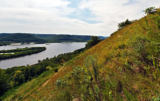
Brady’s Bluff
3.9 mile loop; 398ft. vertical change; Moderate
For views of the Mississippi River, check out the Brady’s Bluff and Perrot Ridge Trail. The lack of leaves on the trees in this season makes for extra views.
Illinois
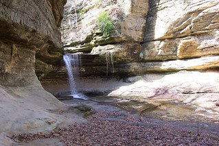
Waterfalls at Starved Rock State Park
Up to 13 miles; elevation varies; Moderate to Difficult
The canyons of Starved Rock State Park harbor an abundance of waterfalls. Go after a rain in April, and you might find up to 18 waterfalls within the state park. Also, go on a cold day and you’re less likely to find hordes of locals in the water below (and on) the falls. Trail map here.
Indiana
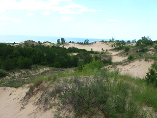
Trail #9
3.6 mile lollipop loop; 78ft. vertical change; Easy to Moderate
Trail #9 takes you up to the top of the Indiana Dunes, so along with views of the dunes, you also get views over Lake Michigan. For a longer hike, take Trail #10 around the dunes and then along the lakeshore for a 6.1 mile hike.
Michigan
Chain of Lakes
7.8 mile loop; 521ft. vertical change; Moderate
Located in the Pinckney Recreation Area, the Chain of Lakes Loop uses a variety of trails to access a number of lakes, including Crooked Lake and Silver Lake. The scenery varies with the seasons, but getting out there before mosquito season sounds like a good idea to me.
Ohio
Brandywine Gorge Loop
1.5 mile loop; 162ft. vertical change; Easy
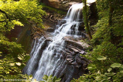
The Gorge Trail traverses the gorge containing Brandywine Falls. Besides the falls, there are also views of the gorge – all the better this time of year before the leaves come out on the trees!
New York
Genesee Riverway
3.2 miles from downtown Rochester to the Erie Canal Path; 101ft. elevation change; Easy
The Genesee Riverway is paved, making it a great riverside bike ride or stroll in the early spring in western New York. Extend your ride or walk east or west on the Erie Canal Path (often also paved or packed gravel).

