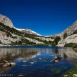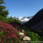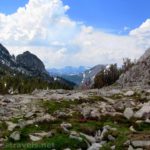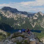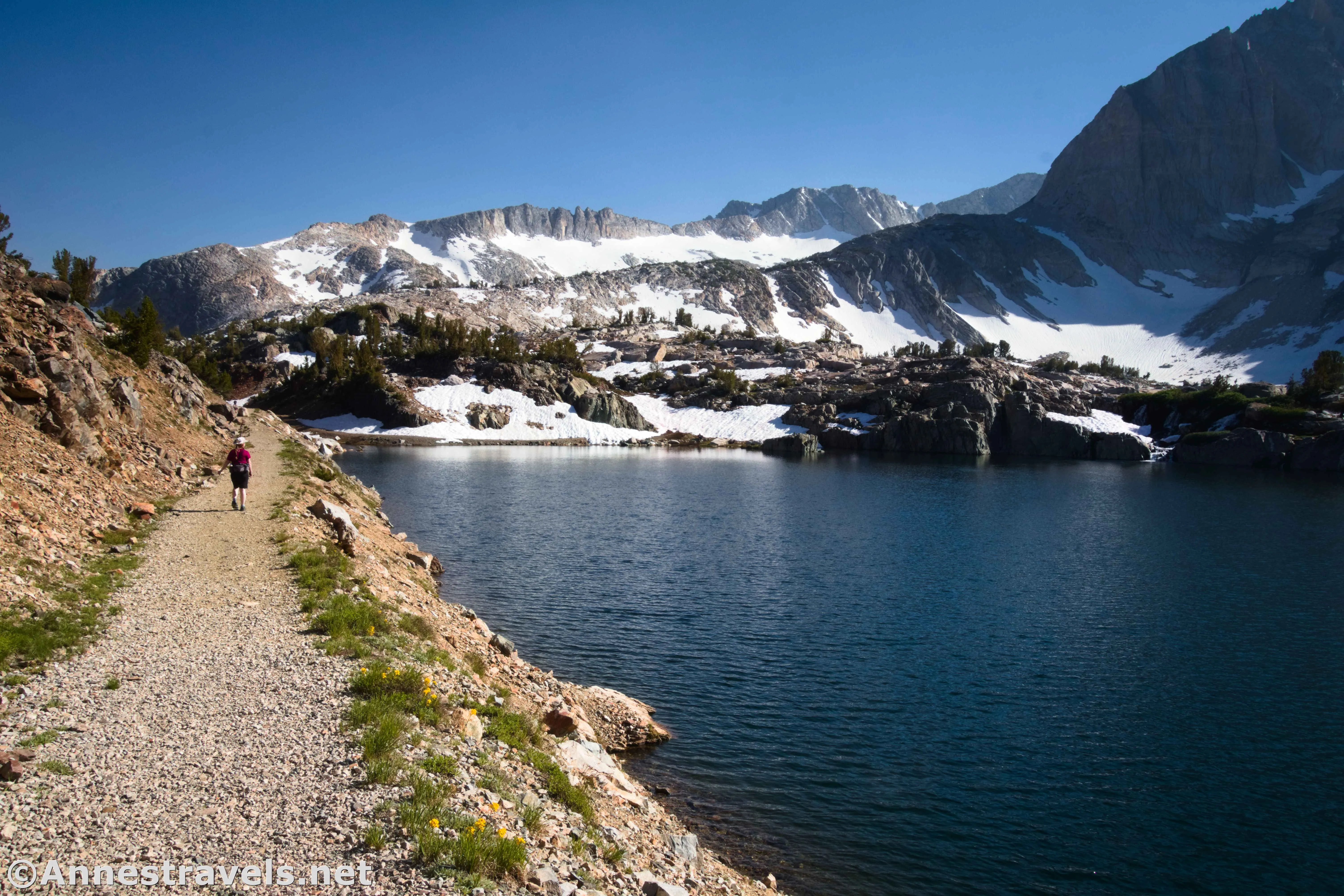
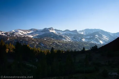
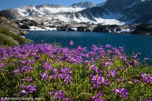
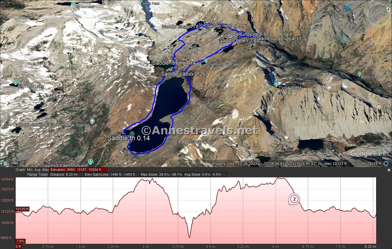
The 20 Lakes Basin Loop above Saddlebag Lake just outside of Yosemite National Park along the Tioga Road is a stunner at its minimum. The alpine scenery is jaw-dropping from the moment you set foot on the trail and never lets up for its entire 8.8 miles (there are ways to shorten the hike while still seeing great scenery – I’ll get to that later). It’s also higher than most hikes in the High Sierras, so it’s cooler and thaws out later, too. With lakes, cliff-studded peaks, a colorful canyon, waterfalls, alpine meadows, and wildflowers, it’s hard to go wrong on this one!
Quick Stats
The 20 Lakes Basin Loop (also known as the Saddlebag Lake Loop, though that’s a shorter version of the entire trail) was high on my list to visit in 2017, when I did a deep dive into some of the best trails in Yosemite National Park. However, the nearly 200% snowpack the winter before meant that most services, roads, and trails were still snowed in at 4th of July (the Tioga Road didn’t open until the last week of June that year), so we couldn’t even get to the trailhead, let alone hike the loop. So when we had a gorgeous day en route between Lake Tahoe and Mammoth Lakes, it was a natural decision to take a little scenic drive up the Tioga Road. I’m so glad we did!
(Note: Yosemite has a timed-entry permit system during the summer months. This hike is not under that system, as it’s outside of the entry gates. You’ll never even enter Yosemite National Park on this hike, even though you’re quite close to the border of the park.)
We parked in the overnight hiker parking. My memory of the situation is that it’s the only hiker parking open this year due to renovations on the lodge. So I’ll describe the trip as though you are starting at this parking area.
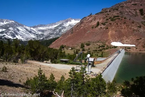
The first thing you’ll need to do is hike back down the access road to the main road. If you want to do the hike clockwise, you’ll need to cross the dam at this point. However, I wanted to hike it counter-clockwise, so I turned right up the road. It’s about 0.05 miles to the Saddlebag Lake Resort (if you can call a few rustic shacks a resort) and then another 0.05 up the main road to the trailhead. In the summer months, a water taxi (I think it’s around $25/person RT) can take you across the lake, cutting 1.5-2.2 miles (each way) off your hike. You can guess that I wasn’t interested. Actually, I didn’t see the taxi running, so I think we might have been a little early in the season the last week of June.
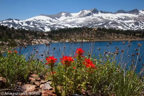
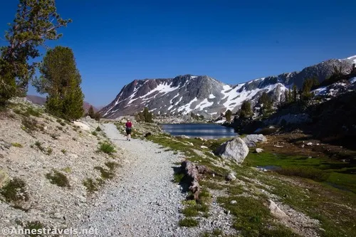
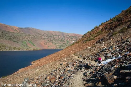
The trail quickly leaves the resort behind on a fairly flat trail along the southern/southeastern side of the lake. The views are almost immediately spectacular, but they get even better once you start up the (slightly more rugged, but still easy) eastern side of the lake. I was in awe before I’d gone a mile!
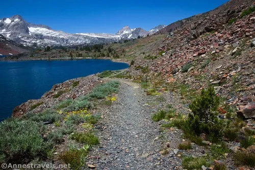
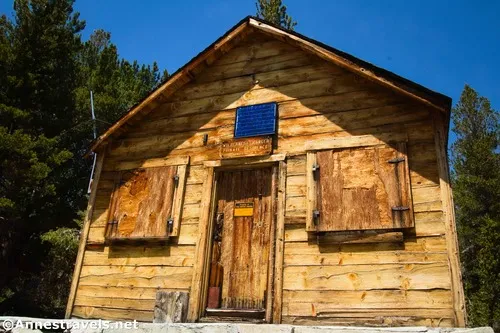
The trail strikes a fairly straight and easy path up to the northern side of the lake, where it enters trees. These are temporary, but before you can break out of them, you’ll come to a ranger cabin at mile 2.25.
Keep hiking another tenth of a mile to a trail junction. If you aren’t looking for a super long hike (about 4 miles), go straight here and complete the loop around Saddlebag Lake. However, if you’re early enough in the day and feeling adventuresome (or you just want some differentiated views), turn right toward Hummingbird Lake. You’ll soon enter the Hoover Wilderness of Inyo National Forest.
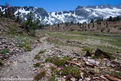
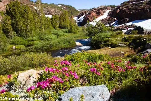
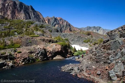
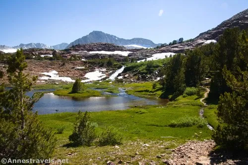
The trail quickly rises out of the trees into lovely meadows. Be sure to look all around you as you arrive at Hummingbird Lake around mile 2.7. Cross over the Hummingbird Lake outlet and keep ascending up to Lundy Pass.
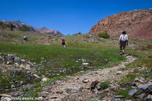
On the other side of the pass, descend to Odell Lake, beginning about mile 3.1. There are so many great views along this lake. We stopped for a snack – after all, none of us had eaten anything since an early lunch right before we started our hike!
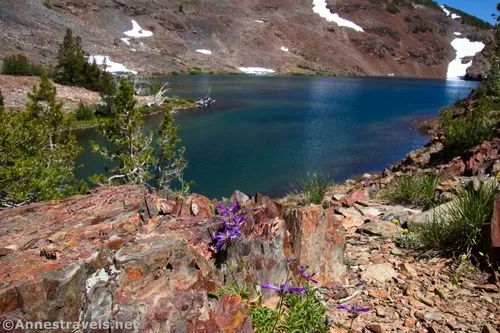
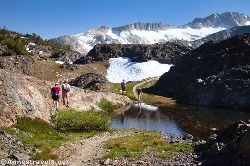
The trail from Odell Lake descends toward Lake Helen. This was a very scenic area and also the first real snow we encountered – it was still early in the season to be hiking above 10,000ft.!
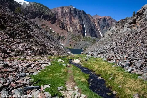
The trail drops down to Lake Helen at mile 3.8 and runs along the lake’s eastern shore to its outlet. This is the lowest lake on the trail (except for Saddlebag Lake, which is also just about 10,100ft.).
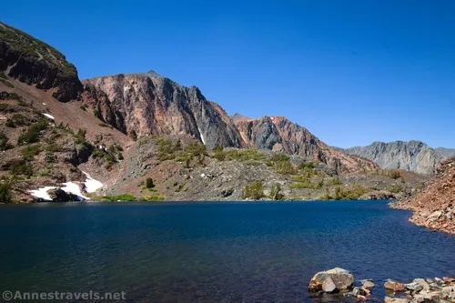
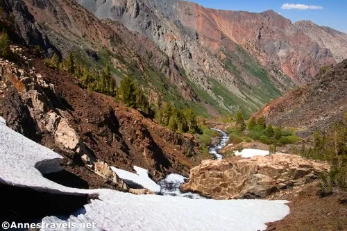
At the outlet, you have a choice. You can cross over the stream (not exactly easy early in the season!), or you can take a side trip first. I’d read that the side trek over to Lundy Canyon Viewpoint was well worth the distance, so we turned right on the sketchy path – it is official, but the first part was scree and a small scramble. Beyond that was a little snow, then we were able to rise up to the viewpoint at mile 4.1.
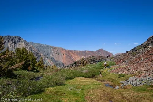
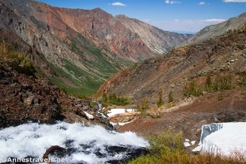
And what a view we had! Lundy Canyon is colorful, with red rocks, green meadows, waterfalls, and more. Wow!
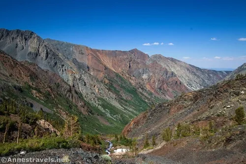
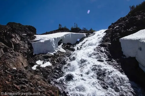
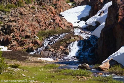
The Lundy Canyon Trail continues down Lundy Canyon (funny thing about that), so a couple of us decided to dash down the trail a short distance to see the waterfall that tumbles from Lake Helen down into the canyon (I hear this is called the “Lundy Canyon Waterfalls,” though the stream is called Mill Creek). There was still a fair amount of snow, both around the waterfall and around the trail, but we were able to safely descend far enough for a good look at it.
Back up at Lake Helen, we still needed to figure out how to get across the outlet. I crossed near where it empties out of the lake; stepping stones, hiking boots, and hiking poles came to the rescue to keep my feet dry. Then I had to scramble up a steep cliff face (Class 3 scramble) to continue on the trail. Meanwhile, the rest of my group decided to cross a bit downstream (in a meadow area, not right above the waterfall) via a log jam. I’m not really sure it was much easier. After crossing, they had to do some (albeit probably easier) scrambling to get back up to where I was waiting on the trail.
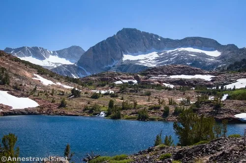
The second half of the loop was more difficult than the first half for a variety of reasons. The first reason was because it was much snowier than what we’d already hiked. It was also less traveled and more rugged, so finding the trail was more difficult in general. Then, the sun was in our faces, so the views weren’t quite so good – even if this half of the loop actually has even better scenery (at least if you like tiny lakes, stunning cliffs, and such). We were also in a little bit of a hurry – we’d gotten a later start than we really wanted, and while the days are long in June, we still wanted to get back to the van (and preferably to a campsite) well before dark.
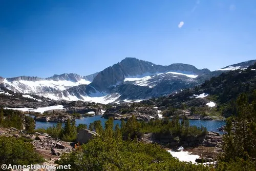
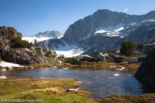
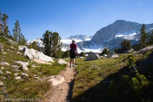
After skirting the northern edge of Lake Helen, the trail heads up (literally!) into a land of meadows and rocks. This was where we found the worst snow, so hopefully my map is close to correct! At any rate, the route goes along the north side of Shamrock Lake about mile 5.1 and then heads south above the lake’s western shore. Most people seemed to be camping in this area.
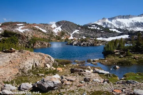
Things got confusing again above Excelsior Lake (mile 5.3). There are several trails in this area, many of them following old mining roads. We opted to take one down to cross over Mill Creek (aka the outlet of Steelhead Lake and the inlet to Excelsior Lake) and then followed the trail south until we popped through some hills to the shoreline of Steelhead Lake.
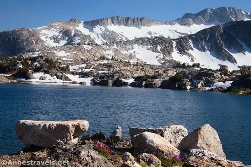
All I can say is that we saved the best for last! Steelhead Lake puts all of the other (very beautiful) lakes to shame when it comes to the stun factor. There’s a reason later, when we were talking about the hike, my companions were like, “Whatever the name of that trail was that had Steelhead Lake.” The mountains and cliffs were absolutely spectacular! The only issue was that the sun was in totally the wrong place – so the reality was better than the pictures. Oh well!
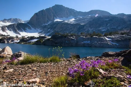
We spent a few minutes taking photos of the scenery before heading south on the old road along the east shoreline of Steelhead Lake. It looked like there was a trail on the west side, too, that would have been beautiful. But sadly, we were running out of time, so we took the easy path.
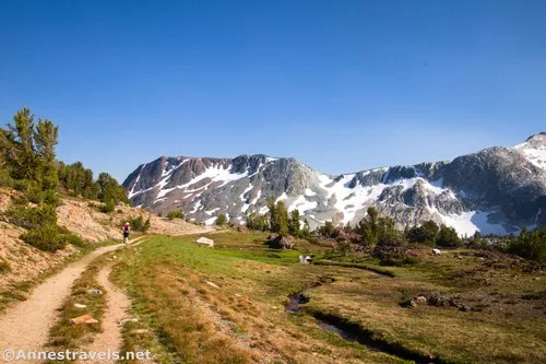
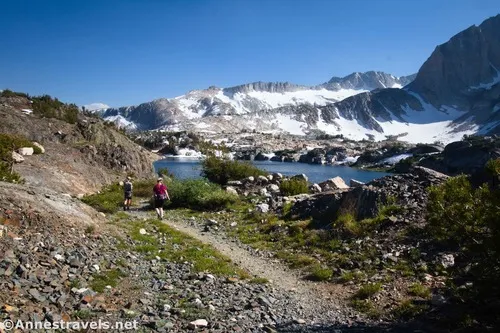
The trail finally comes to the end of Steelhead Lake and passes through meadows, descending toward Saddlebag Lake once again. Near Greenstone Lake, you’ll come to a trail junction at mile 7.1. It appears that both trails get to the return trail one way or another. Honestly, there are so many defined trails in this area that it’s hard to know which way to go. Do your best to find the trail that heads down the western side of Saddlebag Lake (many trails lead to Rome, so they say, and the same is true here – most of the trails eventually take you to the shoreline of Saddlebag Lake).
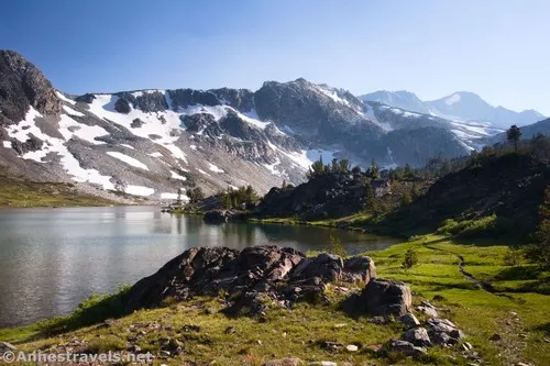
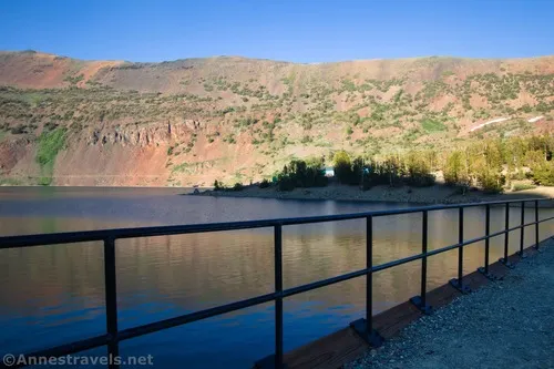
Hiking down the western side of the lake was gorgeous, too. The evening sun was beautiful, though we were in shade, so not the best for photos.
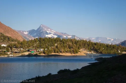
Cross the dam about mile 8.8 and arrive back at the main road. Now you just have to climb the road up the hill to the hiker’s parking area, and you’ve completed the loop. Congratulations!
Round Trip Trail Length: 8.8 miles (including the side trip into Lundy Canyon). For the absolute shortest version of this hike that hits the best scenery, I recommend crossing the dam first and hiking up to Steelhead Lake – this would be about 6.2 miles RT. You can also walk around Saddlebag Lake for an approximately 4 mile loop.
Elevation Gain: 1,490ft. (9,950ft. to 10,354ft.)
Facilities: Boat rentals, campgrounds, and other facilities at the Saddlebag Lake Lodge. Vault toilet and garbage cans at the hiker parking area.
Fees: None
Trail Notes: Snow can linger along the trail into midsummer. The 20 Lakes Basin Loop is often purported to be a great, easy backpacking experience for families, though mostly I saw young couples in the tents near Shamrock Lake. Fires are not allowed in the wilderness. Give yourself plenty of time to enjoy the scenery along this loop. Many people do fish in the lakes (see this link for more info).
Trail 


Road 


Signs 


Scenery 


Would I go 100 miles out of my way for this? 


Overall Rating: 


GPS Coordinates for the 20 Lakes Basin
Beginning: 37.9650830°, -119.2720990° (37°57.90498′, -119°16.32594′ / 37°57’54.2988″, -119°16’19.5564″) (10,118ft.) (0.0)
Eastern TH: 37.9658860°, -119.2705070° (37°57.95316′, -119°16.23042′ / 37°57’57.1896″, -119°16’13.8252″) (10,107ft.) (0.14)
Cabin: 37.9821950°, -119.2840350° (37°58.93170′, -119°17.04210′ / 37°58’55.9020″, -119°17’02.5260″) (10,103ft.) (2.26)

Hummingbird Lake Junction: 37.9822800°, -119.2848130° (37°58.93680′, -119°17.08878′ / 37°58’56.2080″, -119°17’05.3268″) (10,112ft.) (2.32)
Hummingbird Lake Outlet: 37.9881275°, -119.2867656° (37°59.28765′, -119°17.20594′ / 37°59’17.2590″, -119°17’12.3562″) (10,244ft.) (2.7)
Odell Lake: 37.9938562°, -119.2885789° (37°59.63137′, -119°17.31473′ / 37°59’37.8821″, -119°17’18.8840″) (10,313ft.) (3.1)
Lake Helen: 38.0005820°, -119.2915470° (38°00.03492′, -119°17.49282′ / 38°00’02.0952″, -119°17’29.5692″) (10,103ft.) (3.83)
Lundy Canyon Junction: 38.0024790°, -119.2911100° (38°00.14874′, -119°17.46660′ / 38°00’08.9244″, -119°17’27.9960″) (10,098ft.) (3.97)
Lundy Canyon Viewpoint: 38.0037870°, -119.2894890° (38°00.22722′, -119°17.36934′ / 38°00’13.6332″, -119°17’22.1604″) (10,064ft.) (4.10)
Shamrock Lake: 37.9996880°, -119.2979760° (37°59.98128′, -119°17.87856′ / 37°59’58.8768″, -119°17’52.7136″) (10,312ft.) (5.12)
Meet road: 37.9954980°, -119.3014430° (37°59.72988′, -119°18.08658′ / 37°59’43.7928″, -119°18’05.1948″) (10,277ft.) (5.63)
Steelhead Lake: 37.9938640°, -119.3017900° (37°59.63184′, -119°18.10740′ / 37°59’37.9104″, -119°18’06.4440″) (10,289ft.) (5.78)
Return Junction: 37.9820430°, -119.2892720° (37°58.92258′, -119°17.35632′ / 37°58’55.3548″, -119°17’21.3792″) (10,150ft.) (7.14)
Meet Trail: 37.9808160°, -119.2867610° (37°58.84896′, -119°17.20566′ / 37°58’50.9376″, -119°17’12.3396″) (10,122ft.) (7.32)
End: 37.9650340°, -119.2721830° (37°57.90204′, -119°16.33098′ / 37°57’54.1224″, -119°16’19.8588″) (10,115ft.) (8.85)
The gpx file for the 20 Lakes Basin Loop can be downloaded – please note that this and the GPS Coordinates are for reference only and should not be used as a sole resource when hiking this trail.
Download GPX File size: 119.2 KB Downloaded 53 times
(Note: I do my best to ensure that all downloads, the webpage, etc. are virus-free and accurate; however, I cannot be held responsible for any damage that might result, including but not limited to loss of data, damages to hardware, harm to users, from use of files, information, etc. from this website. Thanks!)
Getting to the 20 Lakes Basin Loop Trailhead (Saddlebag Lake Trailhead)
From Lee Vining, turn up the Tioga Pass Road toward Yosemite National Park. After 9.9 miles, turn right onto the Saddlebag Lake Road. Stay right at the campground (I might or might not have made this mistake) and take the road 2.4 miles up into the mountains. Just about at the point where the dam appears on the left, make a sharp right uphill, past the vault toilets, and into the large-ish parking area set aside for hikers. A group campsite is located near the restrooms.
From the west entrance to Yosemite National Park (on the Tioga Road), drive east toward Lee Vining. The turn onto the Saddlebag Lake Road is on the left, 2.2 miles east (north, really) from the entrance station.
Note: There is a day-use parking lot near the lodge (which you pass at the beginning of my hike). So if the hiker parking is full, you may (or may not) be allowed to park in the day-use lot.
Today’s Featured Product!
This is my favorite guide to Yosemite National Park. Not only does it cover the most popular hikes in the park, but it also showcases trails you’ve probably never heard about – but that are often equally as stunning. Buy your copy here!


