Ribbon Arch was one of the destinations I didn’t quite get to find in Arches National Park back when I visited on a gorgeous November day in 2020. That was the trip where I finally visited Canyonlands and Arches after several years of dreaming and researching trails, and we did have fun at Christmas Tree Arch and then searching out The Tunnel and Ring Arch. This past spring, I decided to visit Arches National Park again and take all of the adventures I wasn’t able to do on that previous trip. So, early on a summer morning, we headed out from the Primitive Loop Trailhead near the Windows to find Ribbon Arch.
Quick Stats

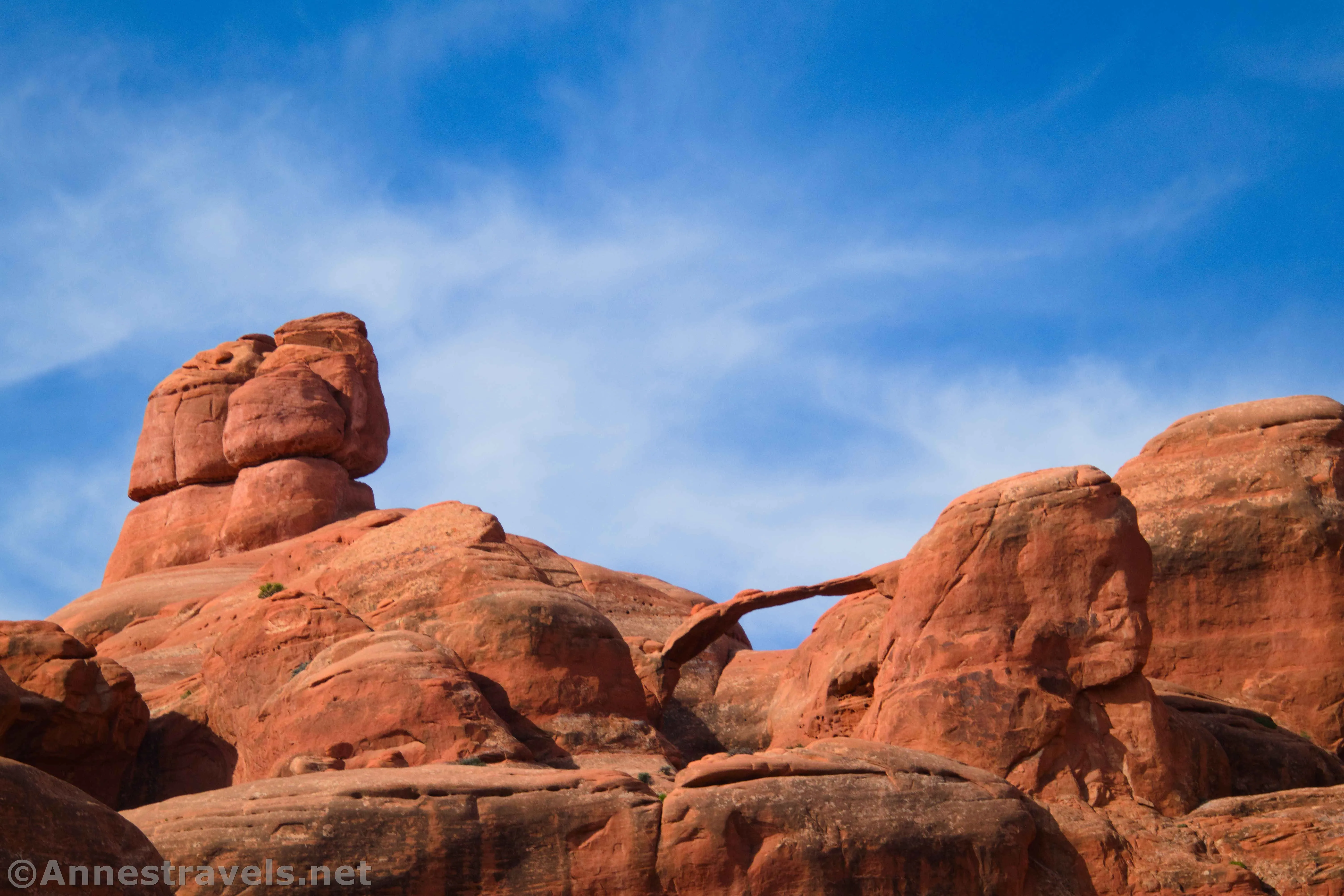
On the internet, I had found two fairly accurate descriptions of where the arch was located, plus several more reviews that assured me it was worth the effort to find. That all sounded great. I still wasn’t quite prepared for what we found – the arch itself is a lovely, graceful span so far up on the top of the cliffs that it’s hard to see. It was definitely worth checking out after we had done most of the rest of the famous arches in the park – plus, we got to see Christmas Tree Arch on the way, so it was double for our trouble!

The trailhead is the Primitive Loop to the left of the trailhead for the Windows. The tread is sandy as the trail works its way through low sandhills, heading toward what might be a break in the fins and rock formations. It’s a little hard to follow at times due to nearby washes that cross or parallel the trail. Of course, once someone loses the trail and walks off, more people follow the footprints. But thankfully, it’s not too hard to keep on track as long as you’re paying attention.

After about a quarter mile or so, you’ll come to a place where the trail rises up to pass through a slickrock saddle. Turn left here, off trail, along the slickrock. You want to work your way (always on slickrock – don’t walk on the nearby dirt) along the slickrock wall, which will be on your right. You’re heading up toward another saddle between two fins. It’s a little bit of a scramble, but with some careful choosing of your route, it’s only about a mild Class 3 scramble.

Once you pop up over the saddle, you’ll be able to see down into another wash and also left to Christmas Tree Arch. I opted to head left, trying to maintain elevation, and scrambled up into Christmas Tree Arch. It was a little bit of a scramble; the worst part was a fairly tall ledge – I made it up, though, despite my lack of stature!
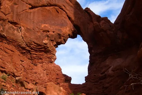
The views through Christmas Tree Arch are even better than the views of the arch. In the afternoon in November, the views are amazing toward the left, down on the parking area for the Windows. In May in the morning, the views were better to the right, up toward some fun rock formations.

From Christmas Tree Arch, head down the wash, which is steep at first but generally not too hard to scramble down. Keep your eyes open to the right to see Little Duck Arch. Views are also excellent out onto the plains and canyons beyond Arches National Park in the afternoon (they weren’t so great in the morning).
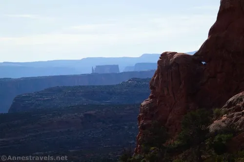
You’ll actually enter a second wash about 0.75 miles from the parking lot; this is easy to miss on the way down and a bit confusing on the way back. Keep hiking down the wash until you come more or less to the end of the rock fins on your left. Scramble left up a slickrock dome-like formation to gain a bench with the fins on your left and a cliff dropping away on the right down into Upper Salt Wash. The scramble is a steep Class 2 – if it’s too steep to walk up, head right (further downstream) slightly where the slope is gentler.

Once on top of the flat bench, walk north-ish (really more northwest) with the cliffs up on your left and the cliffs down on your right. This is the easy part of the hike! Views would be amazing down into Salt Wash in the afternoon, but I wanted the morning light on Ribbon Arch (much better than afternoon), so we chose our timings for the best views of the arch.

As you approach Ribbon Arch, a large “canyon” (more like a very large curve into the slickrock) will appear on the left. Near here, you will be able to see the most complete view you’ll get of Ribbon Arch – but because the surrounding rock is currently behind the arch, it’s hard to see. You may have a better time locating it on your return trip.

About 1.2 miles from the trailhead (0.25 miles from where you left the wash to ascend to the bench), you want to turn left up a wash. This is actually quite a wide wash with several channels – the one that’s called “Better Turn Up” in the GPS coordinates below is the best channel that I found. Most of my group went up this one; I went to the next channel and had to duck under more trees in the wash. It all goes to generally the same place, so it’s not a big deal which channel you choose to walk up.

Walk up the wash, dodging trees and staying in the wash bottom as much as possible (as opposed to hiking on the edges of the wash, which are both crumbly and may have the biological soil crust (black on top of the dirt)). The wash twists and turns, heading up into the curve of the slickrock. Ribbon Arch is visible ahead of you, and now that the blue sky is behind it, it’s much easier to see!

The closer you get to Ribbon Arch, the more the rocks around it hide it from view. About 1.3 miles from the trailhead, I decided it was becoming too obscured to be worth going any further. Nearby, I followed a social trail to scramble up the left (when going upstream) side of the wash to a nice little viewpoint above the wash.

When you’re done looking at the arch, retrace your steps to the Windows parking lot (and if you’re me, you’ll hike over to find Cove Arch next). I thought I saw watercourses with other arches, but on closer inspection, they appear to be pre-arches. But if you want to check them out, you’re welcome to do so – as long as you keep to the washes and stay off of the biological soil crust!

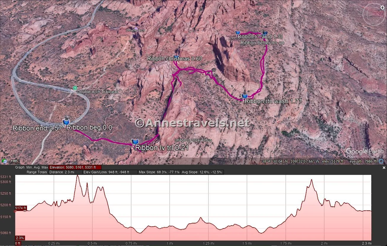
Round Trip Route Length: I went 2.6 mile, including the scramble up to Christmas Tree Arch
Elevation Gain: 948ft. (5,080ft. to 5,331ft.) – this is probably a little high due to the GPS thinking that I was climbing steep slopes when I was actually passing between two steep slopes. But it should be close.
Facilities: Primitive restrooms at the trailhead (no water)
Fees: $30/vehicle, valid 7 days. America the Beautiful National Parks & Federal Lands Passes and Southeast Utah Park Passes are accepted. Note that at some times of the year (currently April-June and September-October), a “timed entry” pass is required to enter the park. You can read more about timed entry here.

Trail Notes: There is no trail for the majority of this hike. You should be very (very!) familiar with off-trail travel in the desert and wayfinding before attempting it. It is also very hot and dry and exposed – even in May, the heat was intense. Morning is better for views of Ribbon Arch, but views into Salt Wash will be much better in the afternoon. To my knowledge, there is no easy (non-technical) way to ascend to Ribbon Arch.

Trail 


Road 


Signs 


Scenery 


Would I go 100 miles out of my way for this? 


Overall Rating: 


GPS Coordinates for Ribbon Arch
TH (Primitive Trail Trailhead): 38.6874980°, -109.5364760° (38°41.24988′, -109°32.18856′ / 38°41’14.9928″, -109°32’11.3136″) (5,175ft.) (0.0)
Leave trail: 38.6887180°, -109.5339770° (38°41.32308′, -109°32.03862′ / 38°41’19.3848″, -109°32’02.3172″) (5,212ft.) (0.21)
Christmas Tree Arch: 38.6918960°, -109.5371430° (38°41.51376′, -109°32.22858′ / 38°41’30.8256″, -109°32’13.7148″) (5,270ft.) (0.60)
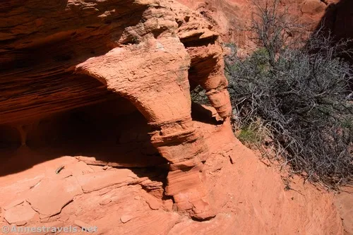
Turn up (wrong): 38.6958680°, -109.5362150° (38°41.75208′, -109°32.17290′ / 38°41’45.1248″, -109°32’10.3740″) (5,097ft.) (1.22)
Turn around: 38.6948940°, -109.5370040° (38°41.69364′, -109°32.22024′ / 38°41’41.6184″, -109°32’13.2144″) (5,148ft.) (1.33)
Better turn up: 38.6956680°, -109.5360760° (38°41.74008′, -109°32.16456′ / 38°41’44.4048″, -109°32’09.8736″) (5,098ft.)
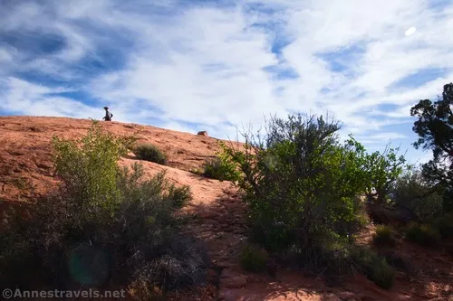
Return wash: 38.6926620°, -109.5335270° (38°41.55972′, -109°32.01162′ / 38°41’33.5832″, -109°32’00.6972″) (5,081ft.) (1.77)
End: 38.6874860°, -109.5364560° (38°41.24916′, -109°32.18736′ / 38°41’14.9496″, -109°32’11.2416″) (5,175ft.) (2.57)

The gpx file for Ribbon Arch can be downloaded – please note that this and the GPS Coordinates are for reference only and should not be used as a sole resource when hiking this trail.
Download GPX File size: 36.2 KB Downloaded 48 times
(Note: I do my best to ensure that all downloads, the webpage, etc. are virus-free and accurate; however, I cannot be held responsible for any damage that might result, including but not limited to loss of data, damages to hardware, harm to users, from use of files, information, etc. from this website. Thanks!)
Getting to the Ribbon Arch Trailhead
From the visitor center, continue into the park for 9.1 miles. Turn right, following signs for Windows. Park at the end of the road about 2 miles later. Note that the parking area can be very full; I recommend hiking here in the early morning or evening or, preferably, from November-March. Locate the Windows Trailhead, then walk left along the sidewalk until you come to the sparsely marked trailhead for the Primitive Loop.
More Hikes in Arches National Park!
The popular and several lesser-known hikes feature in this guide. The author is more interested in helping you take the trails that suit your adventure preferences than keeping you on the hikes everyone takes. Buy your copy here!


