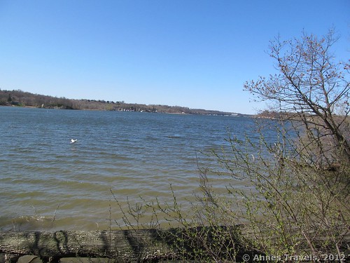
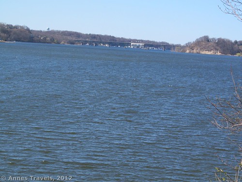
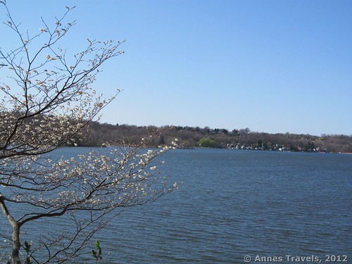
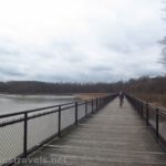
Last weekend we needed an Event. Something beyond the everyday routine that would get us out of the house and doing something together. In other words, it was time to find a new trail to hike that was nearby. While driving around town, we’d seen signs for Abraham Lincoln Park (formally Irondequoit Bay Park East). “Let’s check it out,” we said. It turned out to be a lovely stretch of forest along Irondequoit Bay (this bay stretches out to Lake Ontario east of Rochester, NY for those of you who aren’t familiar with the area). The leaves weren’t out yet, but even once they come out you should be able to get some nice views of the bay, the south end of the Bay (to the left), and the Irondequoit Bay Bridge (to the right). There are also several miles of trails, and we only scratched the surface of the trail system by taking a 3-4 mile (RT) hike along the White, Green, and Red trails. It was a beautiful way to spend a Saturday afternoon in the early spring, and we even got to see some scenery that isn’t reminiscent of the Lake Plain: I climbed more hills along those trails than I’ve climbed in a long time around where I live!
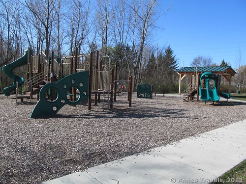
To get to the Abraham Lincoln Park, from NY-590 take Exit 8 to Empire Blvd. This is the same exit as for Empire State College, so you will see college signs with the name “Empire”. If you’re coming from NY-590 N, get in either of the two right lanes on the exit ramp and turn right. If you’re coming from NY-590 S, get in either of the two left lanes on the exit ramp and turn left. Either way, you will quickly pass under a stoplight and begin to descend a hill steeply. Warning: this hill often has police watching the speech of traffic! Go down the hill and then up the other side. You have just crossed over the south end of Irondequoit Bay. Two miles from the exit, Abraham Lincoln Park will be on your left. If you come to a stoplight at the top of the hill, you’ve gone too far. The park has a small, paved parking area, a couple of picnic shelters, and some playground equipment. There is a nice sign marking the park, but very little prior warning that the park is coming. If you’re coming from Ridge Road rather than NY-590, take Empire Blvd. when it splits off from Ridge Road near Empire Lanes Bowling Alley, or turn down Gravel Road to go past the West Webster Fire Station and then merge onto Empire Blvd. Either way, drive past Wegmans and Walmart and through the two stoplights after these two stores. You will begin to go downhill. The destination will be on your right not long after Plank Road. If you reach the bottom of the hill, you’ve gone too far.
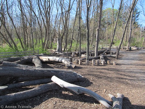
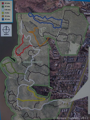
To the right of the playground equipment is a very nice kiosk with a nice map of the trails in the area. I took a picture of the map, and it came in useful later when we were trying to figure out where we were! I’ve included this picture in this post, but you might want a print-out of the map or to take a picture yourself for future reference. For now, head right around the sign and down a gravel path, skirting the edge of the Natural Play Area (in other words, logs and large rocks to climb on, jump on, and generally have fun with—it looked like a really cool area, although we didn’t check it out too closely). Before long, you will come to a sign that tells you that this is the beginning of the White Trail. I’m not sure whether this is really the beginning of the White Trail or not, but turn down this dirt path anyway. The trail will almost immediately begin to go downhill. As I said above, there are a lot of hills in this park. You are descending to nearly the Bay level, although you’ll hike back up some hills later on.
Continue to descend this trail until it intersects with another white trail—there will be white blazes going all three directions at this intersection. Turn right and continue to descend towards the Bay level. You will cross a little creek quite soon after this and then follow the creek down to a marshy area. Actually, the creek falls much faster than the trail, so you’re a good ways above the creek for a while. This is a nice section of trail, with trees all around but open enough to see the stream below you and the trail ahead of you (when it doesn’t go around corners, following the terrain of the hill!). After not too long, you will come down to a marshy section and will walk through some cattails. Keep following the trail. This wasn’t muddy at all when I visited, but I suspect it would be wet and/or buggy at other times of year.
Keep following the trail as it leaves this section and rolls up and over a few hills. You will pass a sign for the Yellow Trail; continue to follow the White Trail. There are many, many social trails in this park, but the colored trails have signs, in general, showing you where they begin. Some of the social trails are marked on the map as black lines. Eventually, you will begin walking up what appears to be a streambed, although I didn’t see much evidence of water. You will pass under a huge tree over your head (we climbed out on it; I gather that many people do this) and then the trail will turn and begin to go steeply uphill. Just before this, the Yellow Trail should reconnect with the White Trail. Keep following the White Trail. There is actually a trail to the left of the White Trail that follows the terrain a little better and is not quite so steep. From the top, continue to hike the rolling trail as it makes its way closer to the Bay.
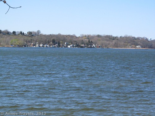
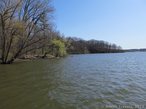
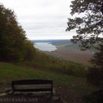
Not long after the big hill you will come to the Green Trail. If you’re looking for a nice hike and great views of the Bay, turn left down this trail, then right when the Green Trail splits. This trail is a loop, and 0.37 miles in length. Follow it as it descends to the water of Irondequoit Bay, a little over half way around the loop. You’ll know when you’re there; it’s the only place along this trail where you can actually approach the water’s edge. Some of my group members opted to climb out on a tree trunk over the Bay where the trail first comes close to the water, while others of us went down a little side trail for 5-10 feet to the water’s edge. It’s a nice place; don’t forget your camera. You can see the Irondequoit Bay Bridge, as well as the south end of the Bay and the houses across the Bay. This would be a great place to watch the boats on the Bay. We also saw some swans in this area.
When you’re done enjoying the view, continue around the loop and back to the White Trail. Turn left to continue to hike; otherwise turn right to go back to your vehicle. Continuing down the White Trail, the trail itself will continue to roll up and down; I don’t think I’ve seen such a hilly trail near where I live, ever! It’s great, but not what I’m used to. You will come to a place where the trail splits to go down a hill. It doesn’t matter which you take, as both will take you to the creek bed below. We chose the left trail because it had white blazes on the trees: each trail has trees marked with blazes of the color of the trail. At the bottom of this hill you will need to cross a little stream (there is a wooden bridge) and then begin to climb up the trail on the other side of the ravine. Both of these hills are fairly steep.
After a little while, you will come to the junction with the Red Trail. I recommend this trail, because, again, it gets you close to the Bay. Turn left down this trail. Actually just before this you will see orang blazes on a trail on your right. You’ll hike on this trail later, but for now keep following the white blazes. Anyway, after turning down the Red Trail, the trail continues to roll and then descend steeply to the Bay. You can’t actually touch the water here, but you can get another view across the Bay of the houses on the other side and the Irondequoit Bay Bridge. It’s a similar view to what you can see on the Green Trail, so if you’re not feeling like both of them, the Green is probably better (the Red Trail is 0.32 miles in length, but cuts off some of the White Trail). You’re higher on the Red Trail, so you do get a slightly different vantage point. Keep walking along the Red Trail and eventually it will drop you back on the White Trail. Turn left.
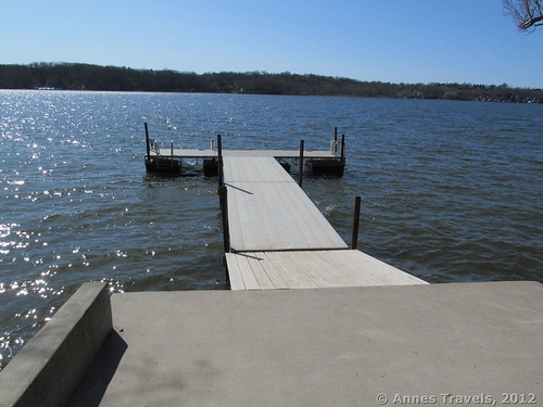
After a fairly short distance, you will come to an old metal barn. Keep walking around the barn (to its right) and to the boat ramp at the other end. I recommend walking out on the dock that is attached to the boat ramp. If it’s windy at all, the dock will rock quite a bit, but that’s a lot of fun! There is a pretty good view of the Bay from the dock; all you could see from the Green Trail and the Red Trail and more. When you’re done looking, you can either take the White Trail back, or you can go on a little adventure. Of course, I did the adventure…and we didn’t even get too badly lost! (Ok, we took one wrong turn, but we figured it out pretty quickly).
Keep following the trail/road that runs away from the metal barn. Pretty quickly you will intersect a road on your right; there will be electric poles along this road. Follow the road uphill past an old sewage treatment plant and over a little gate. About halfway up the hill beyond the little gate, near a grating in the road, on your right, will be a trail with orange blazes. You want this trail. If you get to the top of the hill, a house, a parking lot, and a huge gate made out of a light pole, you’ve gone too far. Follow the Orange Trail as it rolls over some hills, then comes to an intersection with orange blazes in both directions…these blazes will not be quickly apparent. Turn left here to go steeply downhill. Before too long, you will come out on the White Trail; turn left. Follow the White Trail back to your vehicle.
In all, I’m guessing we hiked between 3.5 and 4 miles. It’s not a hike I’d travel very far to get to, but, being on the other side of town, it’s a very nice place to spend an afternoon…or a few afternoons in the near future!
Round Trip Trail Length: As long as you want to make it; we hiked about 4 miles.
Facilities: Port-a-Potties at the parking area, picnic tables, information kiosk, two play areas
Fees: None
Trail 


Road 


Signs 


Scenery 


Would I go 100 miles out of my way for this? 


Overall Rating: 


This Week’s Featured Product!
Find so many more great hikes in western New York State in this guidebook.

