Oh! Alaska Basin Overlook! I’d always heard that Alaska Basin was one of the most beautiful places in Wyoming, but at 15 miles RT, we just weren’t up to that kind of day hike. But then, while walking the trail above the Stairway to Heaven, we got to look right down into Alaska Basin. The hike was only about 11 miles RT and I’ve always been more partial to looking down into valleys than being in the valley itself. And the views? Totally gorgeous!
Quick Stats
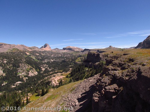
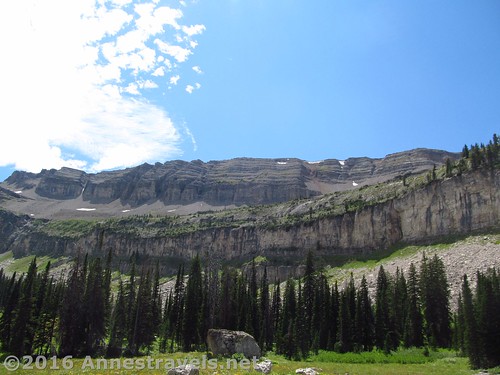
We ate lunch at the top of the Stairway to Heaven (directions at the link). As we enjoyed our Spam and peanut butter and jelly, the sun suddenly decided to come out. The view – which had been fine up to this point, even quite nice – just as suddenly became spectacular. The cliffs behind us, what little we could see into Teton Canyon and the peaks beyond – Wow!
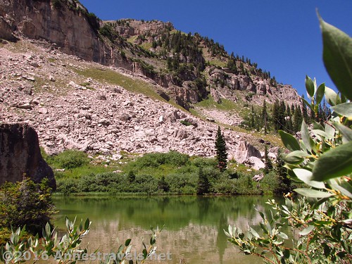
After lunch, we decided to check out the nearby lake at the base of the cliffs, then (because we have trouble leaving well enough alone) we set off on an almost-social trail that wound its way along the shelf atop the Stairway. (If you’ve reach the top of the Stairway, there is a trail junction – one path goes sort of straight and up toward the lake. The other turns left and makes its way along the shelf.)
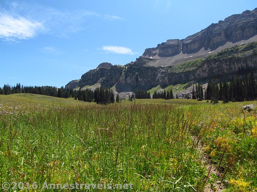
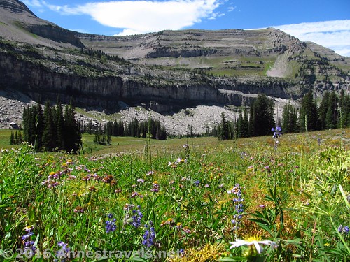
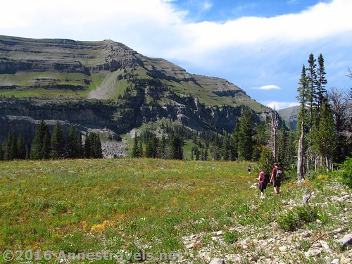
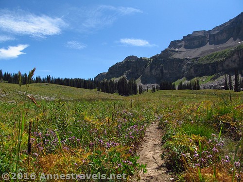
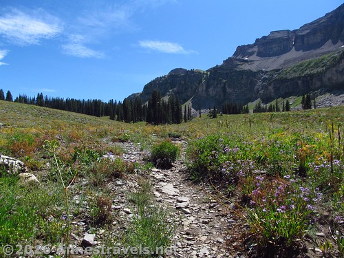
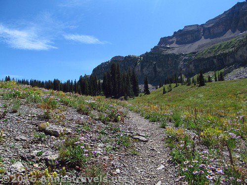
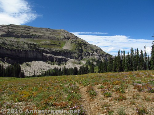
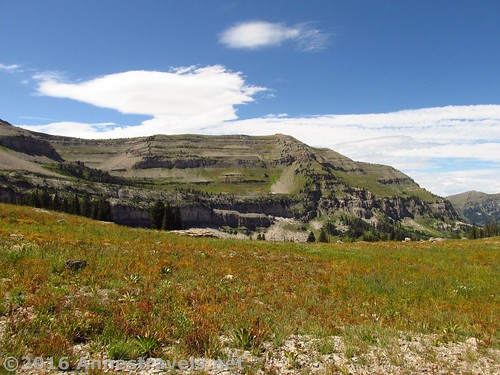
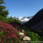
We couldn’t have made a better choice. The wildflowers were blooming, the sun was shining, the cliffs were looming. I can’t even describe what it all felt like to be in such a beautiful, beautiful place. Every few yards I just had to stop and take it all in all over again.
Keep following the trail as it winds its way through several meadows and almost constantly not-too-steeply upward along the shelf. After about a mile of hiking, the trail comes to a slightly flat meadow section with the meadow stretching down toward the shelf’s cliff edge. The trail also looks like it’s about to descend, although it continues along the shelf. There aren’t any trees between you and the edge – just meadows.
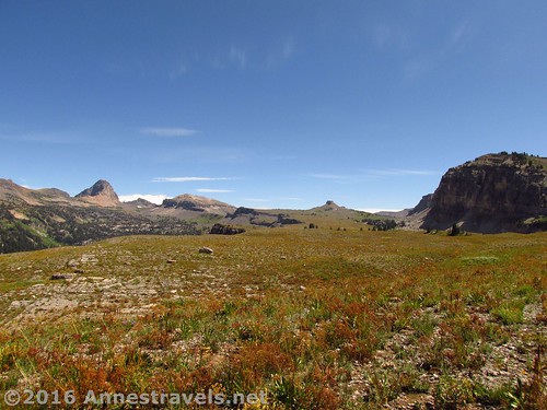
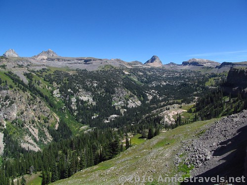
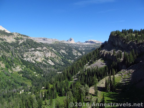
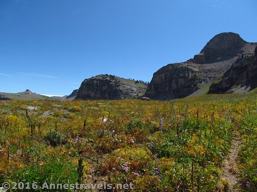
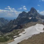
Turn left here toward the edge of the shelf and the Alaska Basin Overlook. You can walk as close to the cliff edge as you want, or as close as you feel comfortable (there isn’t even a hint of a railing ‘way out here!) The closer to the edge you get, the better the views down into the beautiful Alaska Basin. Above the basin, enjoy views of Battleship Mountain and the tip of Grand Teton peeking over other cliffs and peaks.
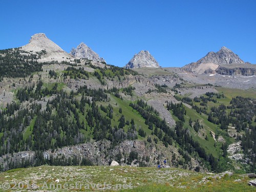
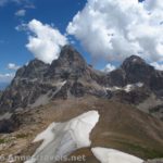
Battleship Mountain (left) and the Tetons. The people in blue are at the overlook and I’m still making my way down the meadows to the cliff edge.
I think Alaska Basin must have gotten its name from all the white rock. At any rate, it reminded us of some of the valleys in northern Washington State. We simply couldn’t get enough of looking at it!
All too soon, it was time to head back – two hours of sitting around waiting for the thunder to stop before we could ascend the Stairway had cut into our day pretty badly. But for some reason, we decided to bushwalk through the meadows near the edge of the shelf, then pick up the Stairway to Heaven Trail to return to the parking area instead of taking the trail we’d followed along the shelf.
Bushwacking is perfectly doable, especially if you don’t mind a bit of bushwacking through not only meadows, but also some stands of pine, a few dry watercourses, and generally a pretty tricky tangle. Ok. So maybe I’ve turned you off. But you might as well know 🙂
Round Trip Trail Length: 11 miles
Lowest elevation: 6,955 ft.
Highest elevation: 8,990 ft.
Net elevation change: 2,035 ft.
Facilities: Primitive restrooms and water at the trailhead. Campground 0.25 miles back up the road.
Fees: None. (Unless you camp at the campground.)
Trail Notes: The trail up Teton Canyon is fairly flat. The trail up the stairs climbs at an alarming rate; near the top, it’s still a trail, but scree off the trail looks a lot like the scree on the trail, so pay attention (if you’re not too busy gawking at the view, at which point you probably don’t care whether you’re on the trail or not…) Beyond the top of the Stairs, the trail looks almost social, though it is actually official. It feels flat but is really ascending quite a bit – about 500 ft. in a mile from the top of the Stairway to the Alaska Basin Overlook.
Trail 


Road 


Signs 


Scenery 


Would I go 100 miles out of my way for this? 


Overall Rating: 


Key GPS Coordinates
Parking: 43.75578N / -110.91542W (43° 45′ 20.808″ / -110° 54′ 55.5114″) (6,907ft.)
Stairs beginning: 43.75557N / -110.91524W (43° 45′ 20.0514″ / -110° 54′ 54.8634″) (6,955ft.) (0.0; ended 12.75)
Alaska Basin / Devil’s Stairs Trails Junction: 43.72210N / -110.89799W (43° 43′ 19.5594″ / -110° 53′ 52.7634″) (7,415ft.) (2.9; 9.8 on the way back)
Top of Stairs; Trail Junction: 43.71967N / -110.90794W (43° 43′ 10.812″ / -110° 54′ 28.5834″) (8,519ft.) (4.1)
Top of the Stairs Viewpoint (lunchpoint): 43.72046N / -110.90877W (43° 43′ 13.656″ / -110° 54′ 31.572″) (8,536ft.) (4.3)
Leave the Trail: 43.71180N / -110.89959W (43° 42′ 42.4794″ / -110° 53′ 58.524″) (8,990ft.) (5.3)
Alaska Basin Overlook: 43.71199N / -110.89799W (43° 42′ 43.164″ / -110° 53′ 52.7634″) (8,981ft.) (5.5)
The gpx file for the Stairway to Heaven and Alaska Basin Overlook can be downloaded – please note that this and the GPS Coordinates are for reference only and should not be used as a sole resource when hiking this trail.
Download File size: 183.0 KB Downloaded 340 times
Download File size: 109.3 KB Downloaded 271 times
(Note: I do my best to ensure that all downloads, the webpage, etc. are virus-free and accurate; however, I cannot be held responsible for any damage that might result, including but not limited to loss of data, damages to hardware, harm to users, from use of files, information, etc. from this website. Thanks!)
Getting to the Stairway to Heaven Trailhead
From the town of Driggs, Idaho (along Rt. 33), turn east at the stoplight onto East Ski Hill Road (also known as East Little Avenue). This is a left turn if you’re coming from the north (Yellowstone, etc.), a right turn if you’re coming from the south (Jackson Hole). Key Bank and Southby’s will be on the corners of this turn. Drive 6.6 miles, then turn right on Teton Canyon Road.
Drive on this road for 4.5 miles — the road is quite passible by passenger cars (I saw a smart car do it), but it has quite a bit of washboard, so we couldn’t get over about 20 mph. You’ll pass a couple of campgrounds and a Boy Scout Camp before you reach the end of the road. This parking area – at the very end of the road – has a large sign by a wide trail stating that it is the Alaska Basin Trail. You’ve arrived! (Note: this is the same trailhead as for the Face Trail up Table Mountain, so expect the parking area to be crowded in the summer.)
Zoom map out to browse nearby hikes & places of interest
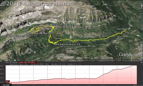
Visual trail map of the Stairway to Heaven Trail and then along the shelf to Alaska Basin Overlook. North is to the right. Oh, and don’t believe the mileage on the elevation profile – the GPS decided to gain a couple miles somewhere along the way.
This Week’s Featured Product!
Very few books touch on the Jedidiah Smith Wilderness (where Alaska Basin is located) or other trails on the western side of the Tetons. This book does offer some other choices in the same area as this hike, as well as across the state of Wyoming.



Pingback: Blog Sneak Peak: The Wyoming You Never Knew
Pingback: 8 Epic Hikes in the Western US, Pt. 1 - Anne's Travels
Pingback: Stairway to Heaven - Views and Wildflowers Galore - Anne's Travels
Pingback: Atop Roaring Fork Mountain - Anne's Travels
Pingback: Day Hiking Stough Creek Pass - Anne's Travels
Pingback: 12 Best Day Hikes in Grand Teton National Park - Anne's Travels
Pingback: The Glory of the Lord Covers the Earth - Anne's Travels
Pingback: Terrifying Trails of the Western US - Anne's Travels