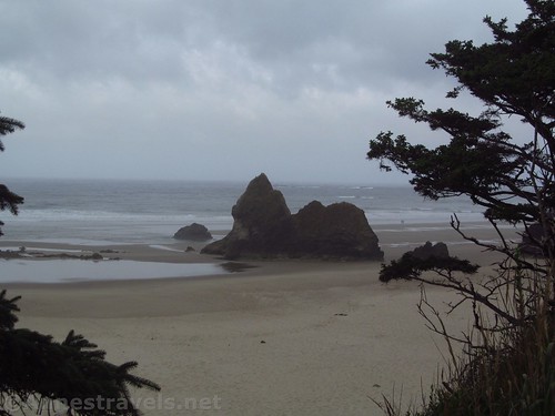
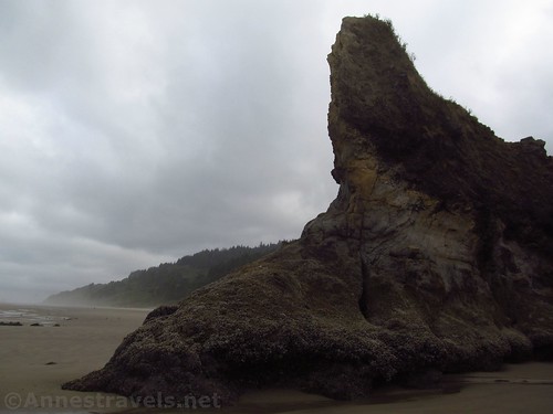
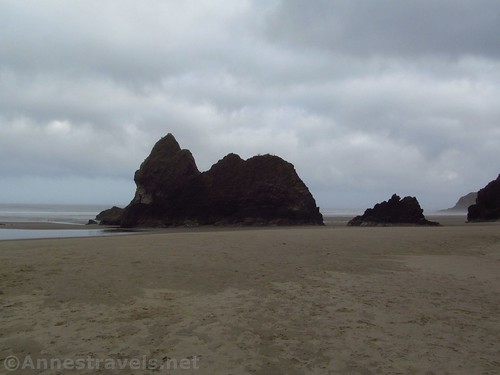
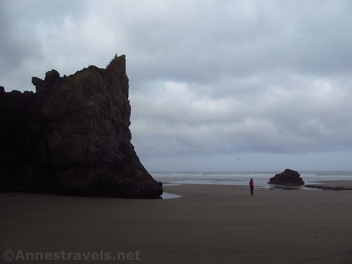
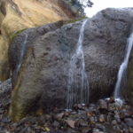
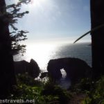
Arcadia Beach, along US-101 south of Cannon Beach, isn’t worth a long stop. There just isn’t that much there. But it does have some interesting features, so if you happen to be passing by, consider 10 or 15 minutes to walk down to the beach and see the famous (and well-named) sea stack, Lion Rock. After all, it is free and you don’t have to go far off the highway.
Quick Stats
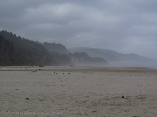
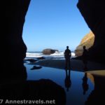
The day I visited, the tide was extremely low. So we were able to walk around Lion Rock without getting our shoes more than drippy on the bottoms (wet sand). It was also very foggy, so my pictures aren’t the best, but you’ll have that. The sun finally came out as we walked Cannon Beach to Haystack Rock an hour or so later.
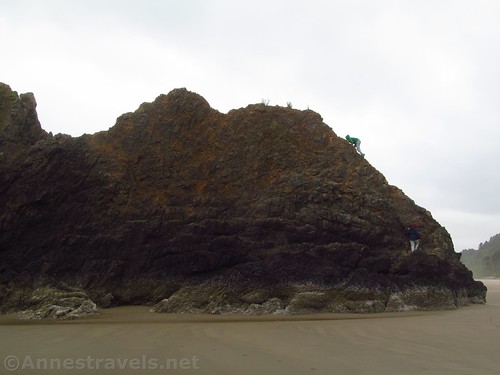
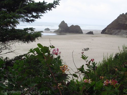
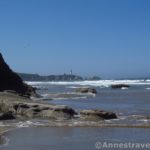
Some of the best views are from the parking area, since you can look down on Lion Rock and see its profile. But it’s still fun to take the very much eroded trail down to the beach and walk over to Lion Rock at the end of the point.
Some members of my group decided to brave the slippery rock and scramble over it. I’m not sure I recommend it, or even if it’s allowed. But they didn’t get hurt (Utah sandstone is good for something!) and they had fun.
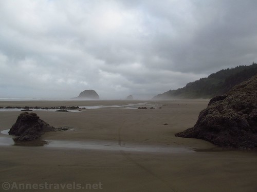
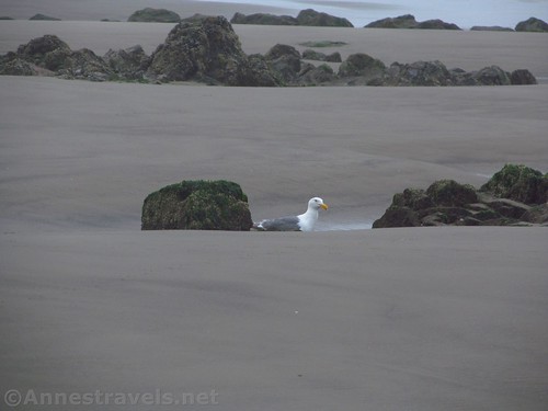
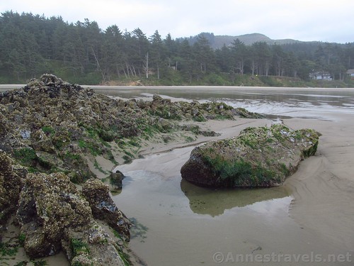
Because of the extremely low tide, rocks that are normally surrounded by water were high and dry. The sea gulls were enjoying this. The pools of water in the sand were also quite nice, though I wonder how many of them would be under water most of the time.
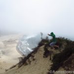
We probably spent 20 or 30 minutes exploring, then came back up to the parking area (we’re pretty amazing at being able to take a 5 minute stop and turn it into a 30 minute exploration). Arcadia Beach doesn’t require a long stop (unless you plan on picnicking, or just hanging out on the beach – be aware that the water is very cold!). And even though it was cloudy, the misty views down the beach were pretty nice…
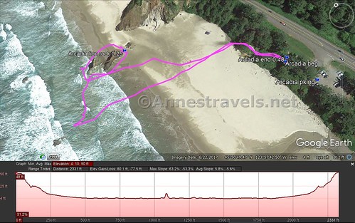
Round Trip Trail Length: I ended at just over 0.5 miles, but I also wandered around for a bit.
Net Elevation Change: About 53ft. (41ft. in the parking area to -12ft. near Lion Rock)
Facilities: Primitive restrooms and a few picnic tables
Fees: None
Trail Notes: Go at low tide if you can to be able to access Lion Rock. Or go at high tide to see the waves crashing around Lion Rock.
Trail 


Road 


Signs 


Scenery 


Would I go 100 miles out of my way for this? 


Overall Rating: 


GPS Coordinates for Arcadia Beach
Arcadia Beach Parking: 45.84642N / -123.96037W (45° 50′ 47.1120″ / -123° 57′ 37.3314″) (41ft.)
Trail Beginning: 45.84671N / -123.96052W (45° 50′ 48.1560″ / -123° 57′ 37.8720″) (28ft.) (0.0; ended 0.48)
Lion Rock: 45.84671N / -123.96223W (45° 50′ 48.1560″ / -123° 57′ 44.0280″) (-12ft.) (0.25 after I’d walked all the way around)
The gpx file for my stroll on Arcadia Beach can be downloaded – please note that this and the GPS Coordinates are for reference only and should not be used as a sole resource when hiking this trail.
Download GPX File size: 13.5 KB Downloaded 165 times
(Note: I do my best to ensure that all downloads, the webpage, etc. are virus-free and accurate; however, I cannot be held responsible for any damage that might result, including but not limited to loss of data, damages to hardware, harm to users, from use of files, information, etc. from this website. Thanks!)
Getting to Arcadia Beach
From US-101 near Cannon Beach, drive south on US-101. After 3 miles turn right, following signs for Arcadia Beach, into the gravel parking area with a restroom.
From US-101 near Arch Cape, drive north on US-101. After about 2 miles, turn left, following signs for Arcadia Beach, into the gravel parking area with a restroom.
Zoom map out to browse nearby hikes & places of interest
This Week’s Featured Product!
With 100 hikes and detailed descriptions, this book takes hikers to trails both on the coast and in the coastal mountains of Oregon.
[forecast location=”Cannon Beach, OR” caption=”Weather for Arcadia Beach” measurement=’F’ todaylabel=”Today” datelabel=”date(‘D M d’)” highlow=’%%high%%°/%%low%%°’ numdays=”5″ iconset=”Default”]

