The Finger Lakes Region of New York State is filled with gullies. These watercourses – some dry except after a rain, others flowing with creeks year round – would have different names across the country: washes, canyons, gorges, and so on. The New York gullies are known for their waterfalls – there are whole books filled with directions to the waterfalls in various “gullies” across the southern part of the state.
Quick Stats
On an autumn trip to the Finger Lakes, we decided to check out one such gully – Barnes Gully near Canandaigua Lake (the largest of the Finger Lakes). We might have climbed a mountain instead, but it wasn’t a nice day, and we figured waterfalls look better than mountains in the misty rain.
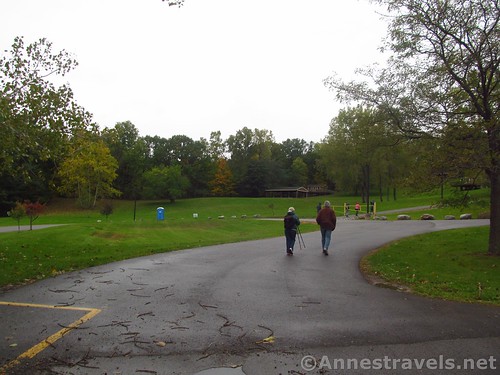
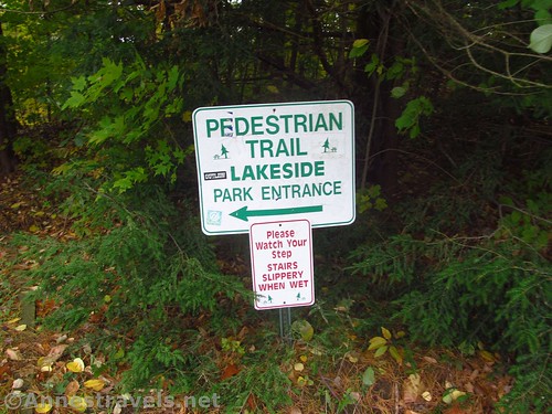
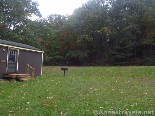
We parked in the Onanda Park parking area (it’s free on this side of the road; the other side costs because there’s a swimming beach), then walked across the grass (keep the cabins to your right) to the set of wooden steps that leads down to creek-level.
Here we met a sign that basically stated that it was “not recommended” that we hike up the gully on foot. However, there was nothing forbidding us from doing it. So we turned right to proceed upstream.
One of the reasons for choosing Barnes Gully over any other gully was because the book I had out of the library said we probably wouldn’t have to get our feet wet. That sounded great on a 45F day with most of us in sneakers (I was wearing hiking boots, but that’s my preference).
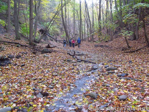
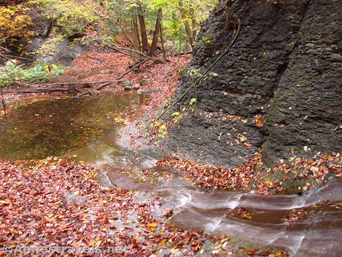
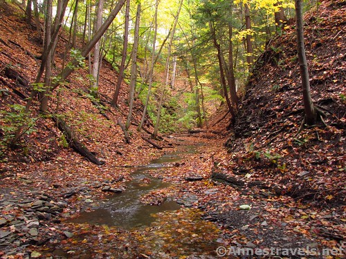
As the book said, there were social trails along Barnes Creek. We didn’t have to get our feet wet up to the first set of ledges at mile 0.25. It was October, so the creek wasn’t as full as it would be in, say, April, but you still could probably walk up to the first set of ledges with dry feet (there’s a fair bank in this area).
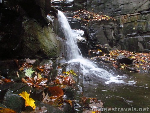
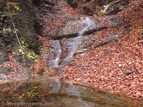
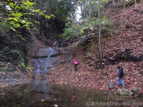
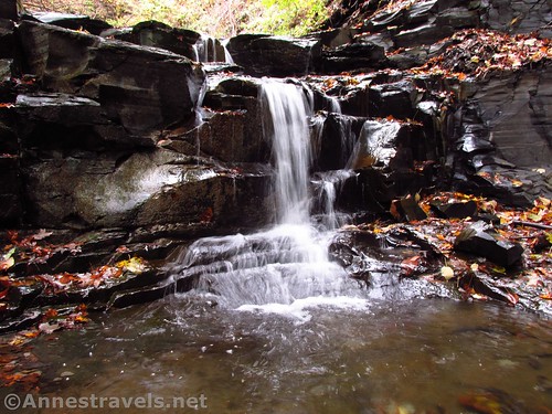
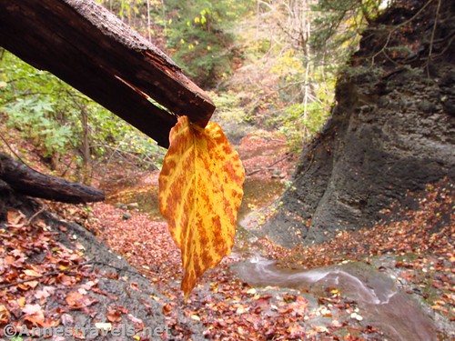
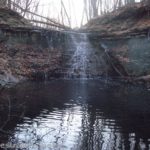
After the ledges, the gorge narrowed a bit. In times of heavier waterflow, staying dry might be tricky. Still, we were happily dry-footed all the way up to the first falls, which is 35ft. high in several sections, about half a mile beyond the ledges. The area did have a few downed trees, and we had to cross the creek a few times, but it’s pretty good considering this is supposedly a creek walk.
If you want to get to the right side of the pool below the falls, it’s a little bit of a tricky crossing, even during low flow. High flow, you might get your feet wet.
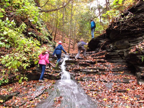
If your idea of a good hike is to stroll along the path and then stroll back, turn around after viewing the first falls. If you like adventure – and you’re wearing decent shoes – you can scramble up the right side of the falls (at least during times of moderate to low flow). There are ropes – use them; some of my group members fell because they weren’t using the ropes.
The first falls is actually multi-tiered, so there are several small tiers to scramble up. It’s very beautiful, though, to be beside the falls.
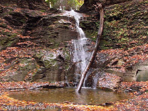
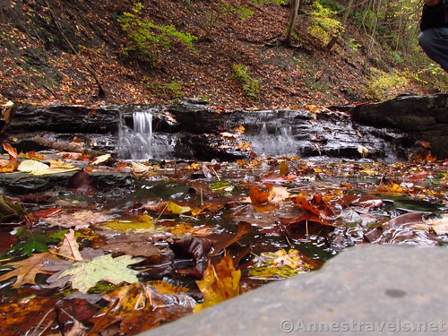
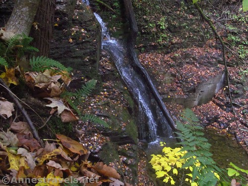
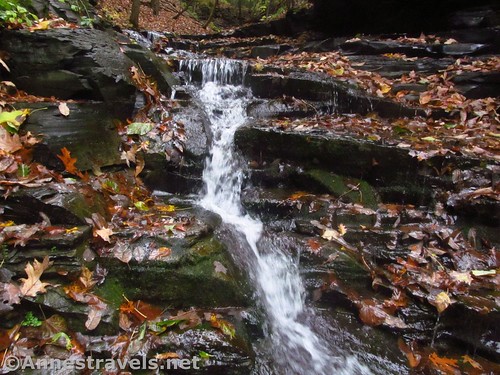
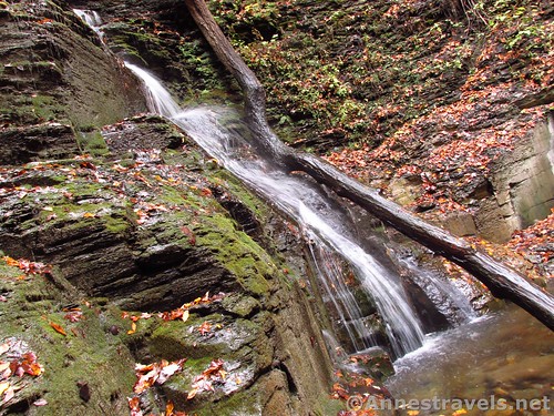
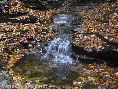
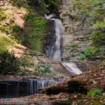
Keep hiking up the gorge for another 1.25 miles to the second falls (it wasn’t hard to stay dry, though the gully is narrower here so you may have to cross the stream and scramble over or under a few fallen trees). This is the smallest of the falls, only about 6ft. high, but it’s picturesque, especially with the fall leaves.
You’ll have to scramble up the falls to go further. It’s not terribly difficult, but use care on the slippery rocks. (You may find trails that rise out of the gully – don’t take those yet).
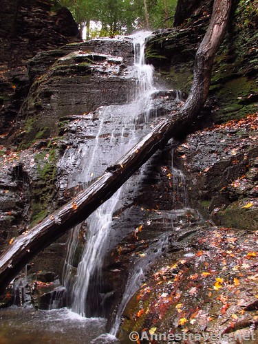
Only a tenth of a mile later, just around the next bend, is the third falls. This is the tallest cascade, at nearly 50ft. It’s pretty much a straight drop, too.
Most people turn around here and scramble back down the gorge. I had read that you could scramble out the right side (north side) of the gully, but that didn’t look like any fun at all. Some of my group had seen trails leading up the left (south) side of the gorge below the second falls, so we retraced our steps and scrambled up the social trails through the woods above the south side of the gorge.
Everything went swimmingly (even if the trails are rather steep) until we got to the cliff face above the third falls. A couple group members found a way to scramble up the hill and over the top; the rest of us used the ropes along the narrow shelf below the cliff face to scramble over to the gorge above the third falls. It was tricky, but we all made it without slipping.
Now I was completely off the map. I’d heard that there was private property somewhere up here, but I hadn’t seen any signs yet, so I kept on walking upstream.
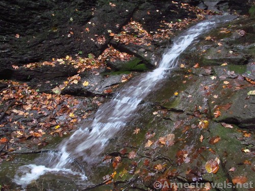
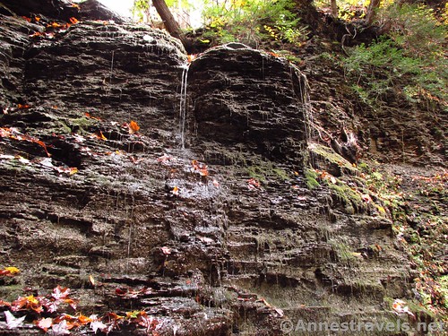
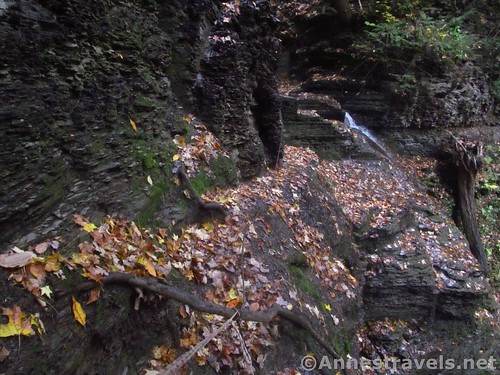
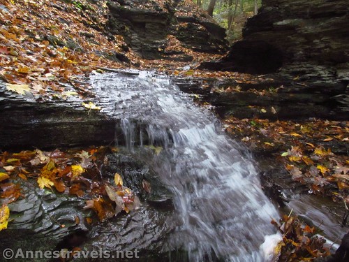
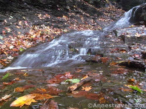
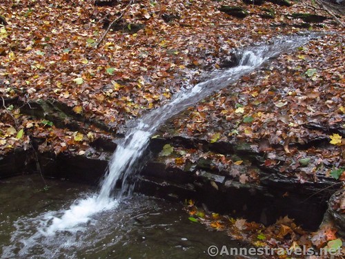
I’m so glad I did. If the lower part of Barnes Gully is nice, this is even nicer with all the fall leaves. There are multiple little waterfalls flowing over the shale.
At 2.1 miles from the trailhead (maybe slightly less; the GPS was confused a couple times due to low reception in the gorge), the gully seemed to flatten out into forests. We were also beginning to see posted signs. Beyond all that, there was a social trail on the right (north) that looked like a long switchback heading up into the woods. It seemed like a good time to follow the social trail up – per my directions, there were trails up on the northern side of the gully.
Sure enough, the social trail took us to an official path through the woods. We turned left a short distance to the Hemlock Overlook (mile 2.25). There wasn’t much to see except, well, hemlocks!
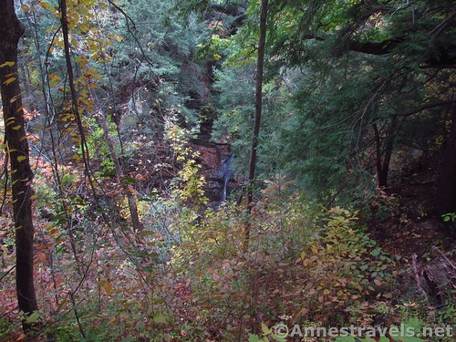
Then we followed the path back along the edge of the gully. There are two overlooks, but despite the lack of leaves on the trees, you couldn’t see much of either the third falls or the first falls. It’s no wonder people take the walk up the gully instead of the trail along the rim!
We arrived back at the open area above the parking lot (keep walking downhill along the cabins and you’ll see the parking lot) about mile 2.8. (There is quite the trail system back in here, but as long as you generally follow the edge of the gully on the official trail, you should be fine.) It was a great hike, and almost totally deserted the day I hiked it. I expect it’s busier on summer weekends, but it would also be more fun to splash in the water!
Round Trip Trail Length: I hiked 3.0 miles – it felt like a bit more due to the slowness of scrambling up the waterfalls.
Elevation Change: 322ft. (704ft. in the gully to 1,026ft. at the Hemlock Overlook)
Facilities: There were port-a-potties at the trailhead. I hear there are more facilities across the road.
Fees: None if you park on the west (non-lake) side of the road
Trail Notes: This is not a trail for the faint of heart – slippery ledges, multiple stream crossings, and mandatory scrambling on often wet surfaces and over wet trees make this a rather adventurous trail. Still, it would be great for families of slightly older children to play in the water.
Trail 


Road 


Signs 


Scenery 


Would I go 100 miles out of my way for this? 


Overall Rating: 


Key GPS Coordinates
Parking: 42.7838167°, -077.3154500° (N42° 47.029′ W77° 18.927′ / 42°47’01.7400″, -077°18’55.6200″) (540 ft.)
Trailhead (by the stairs): 42.7831833°, -077.3156667° (N42° 46.991′ W77° 18.940′ / 42°46’59.4600″, -077°18’56.4000″) (726 ft.) (0.0)
Set of Ledges: 42.7826500°, -077.3180667° (N42° 46.959′ W77° 19.084′ / 42°46’57.5400″, -077°19’05.0400″) (704 ft.) (0.25)
First waterfall: 42.7839833°, -077.3224333° (N42° 47.039′ W77° 19.346 / 42°47’02.3400″, -077°19’20.7600″)’ (765 ft.) (0.75)
Second waterfall: 42.7841500°, -077.3241500° (N42° 47.049′ W77° 19.449’/ 42°47’02.9400″, -077°19’26.9400″) (827 ft.) (1.2)
Third waterfall: 42.7840333°, -077.3242500° (N42° 47.042′ W77° 19.455′ / 42°47’02.5200″, -077°19’27.3000″) (830 ft.) (1.3)
Top of third falls: 42.7839333°, -077.3245333° (42°47.03600′, -077°19.47200′ / 42°47’02.1600″, -077°19’28.3200″) (907 ft.) (1.75)
Fourth falls: 42.7839500°, -077.3256500° (N42° 47.037′ W77° 19.539′ / 42°47’02.2200″, -077°19’32.3400″) (921 ft.) (1.9)
Gorge ends; leave stream to climb right up to the trail: 42.7844833°, -077.3267333° (N42° 47.069′ W77° 19.604′ / 42°47’04.1400″, -077°19’36.2400″) (958 ft.) (2.1)
Meet trail: 42.7852000°, -077.3262333° (N42° 47.112′ W77° 19.574′ / 42°47’06.7200″, -077°19’34.4400″) (1,010 ft.) (2.15)
Hemlock Overlook: 42.7850333°, -077.3271667° (N42° 47.102′ W77° 19.630′ / 42°47’06.1200″, -077°19’37.8000″) (1,026 ft.) (2.25)
Split for the third falls overlook: 42.7844500°, -077.3247000° (N42° 47.067′ W77° 19.482′ / 42°47’04.0200″, -077°19’28.9200″) (980 ft.) (2.4)
Third falls overlook: 42.7842333°, -077.3246167° (N42° 47.054′ W77° 19.477′ / 42°47’03.2400″, -077°19’28.6200″) (962 ft.) (2.45)
Trail Junction (go rightish): 42.7845833°, -077.3245000° (N42° 47.075′ W77° 19.470′ / 42°47’04.5000″, -077°19’28.2000″) (974 ft.) (2.5)
Second falls Overlook: 42.7842000°, -077.3220500° (N42° 47.052′ W77° 19.323′ / 42°47’03.1200″, -077°19’19.3800″) (905 ft.) (2.65)
Exit the woods: 42.7837833°, -077.3187167° (N42° 47.027′ W77° 19.123′ / 42°47’01.6200″, -077°19’07.3800″) (850 ft.) (2.87)
End: 42.7838667°, -077.3159833° (N42° 47.032′ W77° 18.959′ / 42°47’01.9200″, -077°18’57.5400″) (752 ft.) (3.0)
The gpx file for Barnes Gully can be downloaded – please note that this and the GPS Coordinates are for reference only and should not be used as a sole resource when hiking this trail. Also note that it may be a little messy because I think the GPS got a little confused down in the gorge without enough satellite communication.
File size: 64.4 KB Downloaded 0 times
(Note: I do my best to ensure that all downloads, the webpage, etc. are virus-free and accurate; however, I cannot be held responsible for any damage that might result, including but not limited to loss of data, damages to hardware, harm to users, from use of files, information, etc. from this website. Thanks!)
Getting to Barnes Gully/Onanda Park
From Canandiagua, head south on West Lake Road (NY-16). After about 7 or 8 miles, just after passing Wegmans’ Organic Farm, turn right on the winding, steep road up to the parking area, on right.
From Naples, drive north on NY-21. After about 12 miles, turn right onto NY-16 (West Lake Road). Drive another 2.2 miles and turn left up the steep, winding road to the parking area, on right.
The parking area is fairly large, so I expect it is busier in the summer.
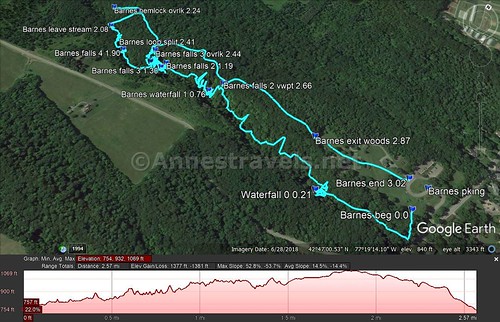
Visual trail map and elevation profile for my hike up Barnes Creek, past the waterfalls, and then back via the official trail
Zoom map out to browse nearby hikes & places of interest
This Week’s Featured Product!
This is a fantastic book on seeking out waterfalls in the Finger Lakes and other areas in central and western New York State. I found it extremely helpful in choosing trails, with many different hikes of differing ability.


Pingback: God Guiding Us - Anne's Travels