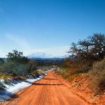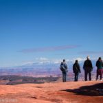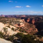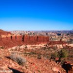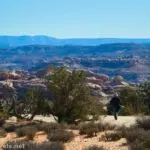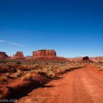
The Flint Trail is famous, but as a spur just before descending, the Big Ridge Road takes 4x4ers out to some of the most beautiful almost-road-accessible scenery atop the Orange Cliffs in the Maze District of Canyonlands. (At least in my opinion – you’re welcome to your own, of course!) On one side of a narrow neck of land connecting two parts of the Orange Cliffs, you can see Happy Canyon, and on the other, Poison Spring Canyon is a jaw-dropper of canyons, rock formations, and more. It’s so worth an extra few minutes on the road to see!
Quick Stats
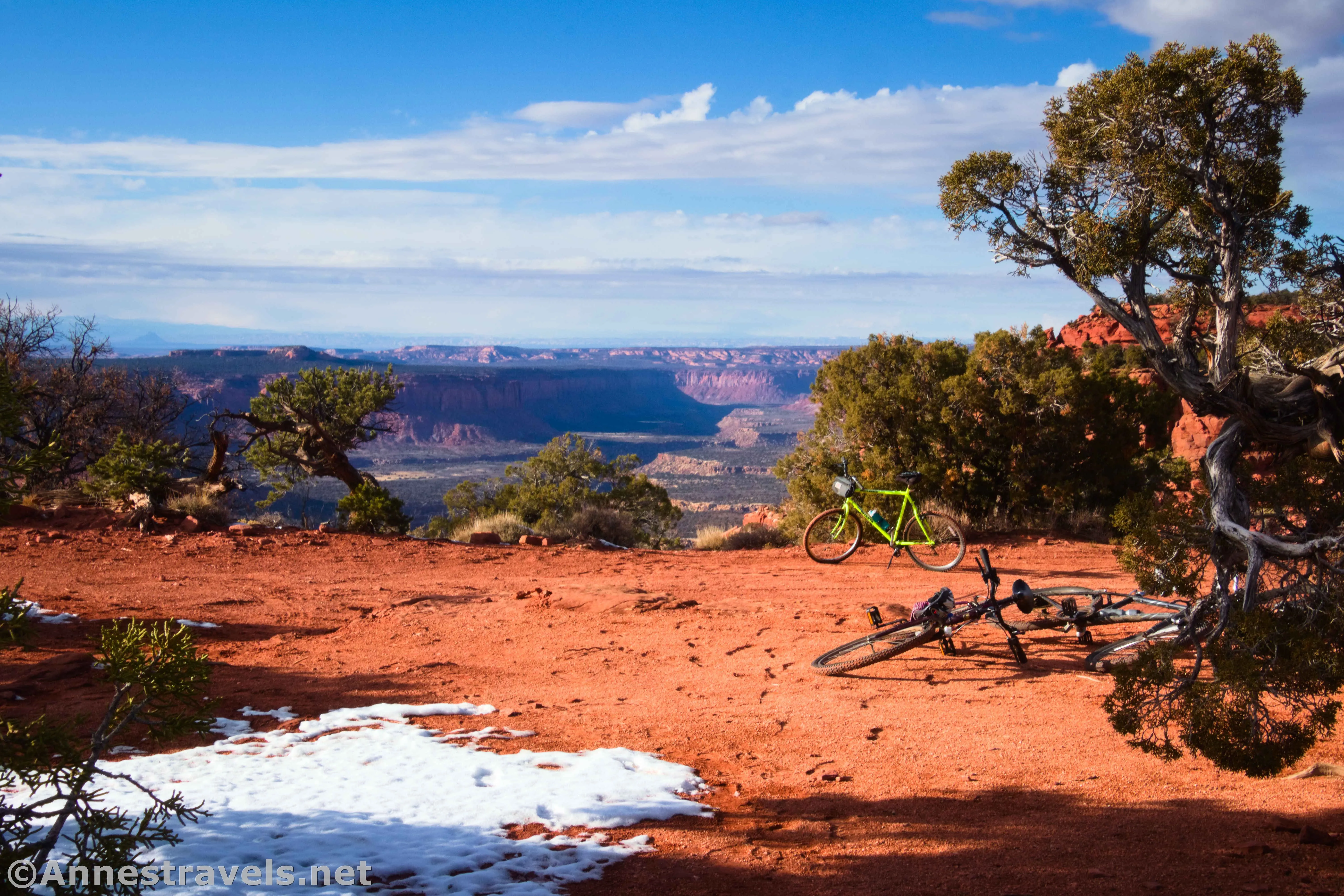
I had no particular intentions of driving the Big Ridge Road at all, let alone going out to the Neck (as it’s known). But as I chatted with the rangers at Hans Flat, one of them suggested that it would be a good place to visit. “I’m not sure if your van could get down it,” he said. “But your bicycle could.” That was enough for me. We were all a little anxious to try out this bike-the-Maze idea, especially since we’d never taken our bikes west of the Mississippi River before. We figured if we had time after driving to the overlooks on NP-633, it would be a great adventure.
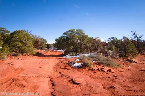
We drove NP-633 as far as the Flint Trail Overlook, then left our 2WD van behind. (FYI – I’m not recommending driving the road with 2WD, and you’ll absolutely need high clearance, but some careful driving did get us there.) The junction of the Big Ridge Road and NP-633 is 0.4 miles down the road from the Flint Trail Overlook pulloff. Turn right on the Big Ridge Road – left would take you fairly quickly (a quarter mile, I think) to the top of the Flint Trail (beyond which 4×4 is more than a little necessary!)
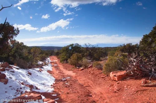
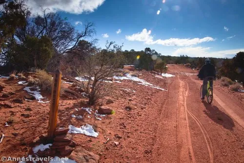
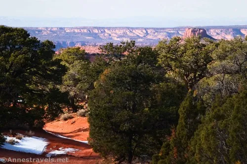
After turning away from NP-633, the Big Ridge Road travels through scrubby trees. There are occasionally good views straight ahead and to the Henry Mountains, but like most of the roads in this area, most of the views are blocked by the trees. We were treated to some snow, since a cold snap had hit the region a few days before we arrived. (20F colder than you expected isn’t all that bad… right?!?)
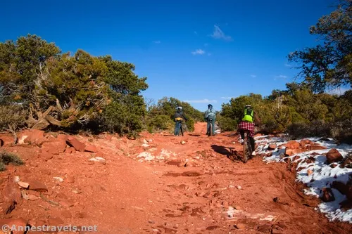
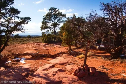
After a mile, a sideroad goes off on the right. This is the road to Happy Canyon Camp, located 0.15 miles from the Big Ridge Road (0.1 miles to a sharp left turn, then another 0.05 miles to the campsite). Online, it looked like a road continued 0.2 miles past the camp (actually, past the sharp left turn) to the edge of Happy Canyon. But in reality, the extension of the road was closed (note that Google still shows the Happy Canyon Campground at the end of the closed road – this is wrong).
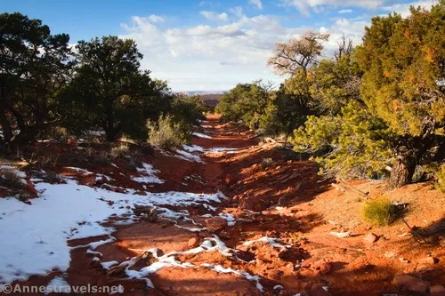
On my way back, I did end up visiting Happy Canyon Camp as well as walking down the closed road (down and down and down) to the canyon rim. But it’s a rough trip, and I can’t say I really recommend it unless you’re looking for something to do.
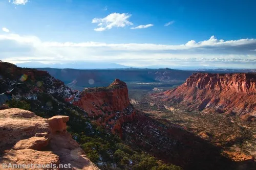
Continuing down the main Big Ridge Road, you’ll need to travel another 1.1 miles mostly south and mostly downhill to get to the next bit of excitement. As you get close, you may notice a thinning of the trees on the left that allows you peek-a-boo views into the canyon. Keep going just a little further – there are better views coming!
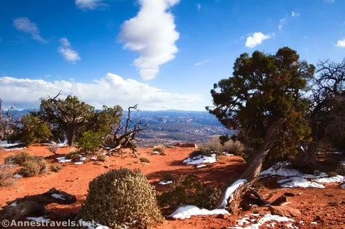
About 2.4 miles after leaving NP-633, you’ll arrive at The Neck and also The Neck Campsite on the left (east). If someone is in the campsite, give them their privacy. Thankfully, no one was there, so we could park our bicycles in the campsite and explore to our hearts’ content.
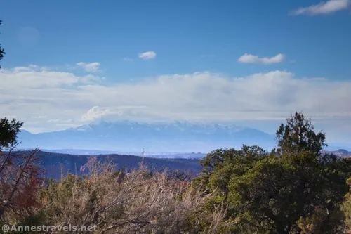
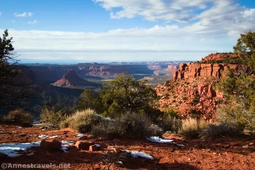
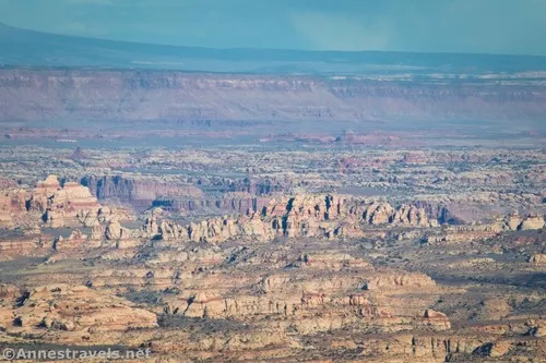
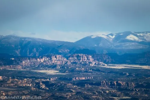
Walk to the right (west) side of the road (across the road from the campsite) and hike off-trail a tenth of a mile or less to the rim of Happy Canyon. Besides the views down into the canyon, you can also see the Henry Mountains. Just plain wow!!
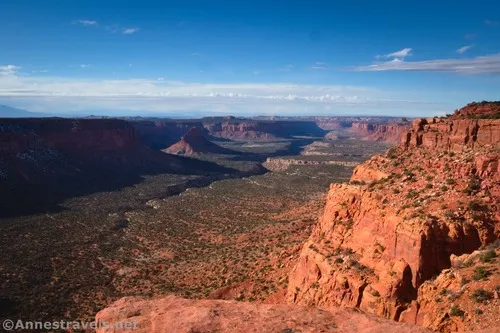
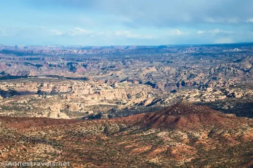
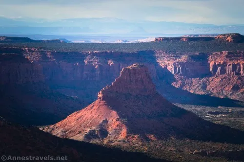
Then walk back across the road, through (or beside) the campsite, and out another less-than-a-tenth-of-a-mile to the Poison Spring Canyon rim. Wait – this view is even better!
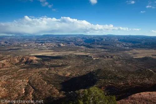
I visited in November, so even though it was mid-afternoon, the light was phenomenal for photos. It was so fun to try to identify features like the Dollhouse and the Poison Spring Canyon Road, far below us.
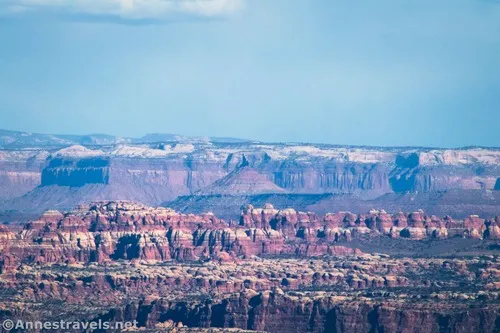
All too soon, we had to pick up our bikes and peddle back uphill. On our way back, we took a quick trip down to Happy Canyon Camp (as I described above). Once back at NP-633, I did a quick trip down to the Flint Trail, then walked a short distance down the trail – just to be able to say I’d done it – before riding back to the van.
Round Trip Trail Length: The Big Ridge Road to the Neck is a 4.8 mile RT detour off of NP-633. Beyond The Neck Campsite, the Big Ridge Road continues to an old airfield and other adventures, but I didn’t go beyond The Neck due to time limitations.
Elevation Gain: 450ft. (6,868ft. to 6,992ft.)
Facilities: None other than two primitive campsites (reservations required).
Fees: None (camping as of 2024 is $36/permit + $5/person per night)
Road Notes: There were plenty of places along this route that would be best for 4×4. You might be able to get a 2WD, high-clearance vehicle down here, but it would be sketchy at best. Both campsites require reservations (available here). I hear that an old mining road descends into Happy Canyon just left of where I went to the edge of Happy Canyon via the old road near the Happy Canyon Camp (the coordinate marked “Happy Canyon Viewpoint below Happy Camp” below); however, I can neither confirm nor deny this rumor.
Trail 


Road 


Signs 


Scenery 


Would I go 100 miles out of my way for this? 


Overall Rating: 


GPS Coordinates for the Big Ridge Road
Big Ridge Road/NP-633 Junction: 38.1182640°, -110.1275600° (38°07.09584′, -110°07.65360′ / 38°07’05.7504″, -110°07’39.2160″) (6,866ft.) (0.0)
Happy Camp Road Junction: 38.1061860°, -110.1340520° (38°06.37116′, -110°08.04312′ / 38°06’22.2696″, -110°08’02.5872″) (6,924ft.) (0.99)
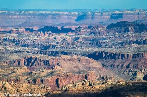
First viewpoint (down on Poison Spring Canyon): 38.0932460°, -110.1403120° (38°05.59476′, -110°08.41872′ / 38°05’35.6856″, -110°08’25.1232″) (6,927ft.) (2.09)
Happy Canyon View: 38.0905480°, -110.1422280° (38°05.43288′, -110°08.53368′ / 38°05’25.9728″, -110°08’32.0208″) (6,884ft.) (2.39)
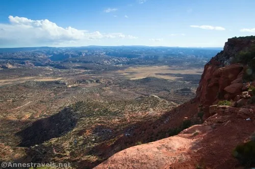
Poison Spring Canyon Viewpoint: 38.0906090°, -110.1415850° (38°05.43654′, -110°08.49510′ / 38°05’26.1924″, -110°08’29.7060″) (6,913ft.) (3.43)
Happy Camp L in road (road closure): 38.1071650°, -110.1356780° (38°06.42990′, -110°08.14068′ / 38°06’25.7940″, -110°08’08.4408″) (6,895ft.) (3.90)
Happy Canyon Viewpoint below Happy Camp (down the old road): 38.1086820°, -110.1372440° (38°06.52092′, -110°08.23464′ / 38°06’31.2552″, -110°08’14.0784″) (6,837ft.) (4.05)
Happy Canyon Campsite (real): 38.1068540°, -110.1361100° (38°06.41124′, -110°08.16660′ / 38°06’24.6744″, -110°08’09.9960″) (6,894ft.) (4.23)
End: 38.1182020°, -110.1275550° (38°07.09212′, -110°07.65330′ / 38°07’05.5272″, -110°07’39.1980″) (6,865ft.) (5.33)
The gpx file for the Big Ridge Road to the Neck (with a spur to Happy Canyon Camp) can be downloaded – please note that this and the GPS Coordinates are for reference only and should not be used as a sole resource when hiking this trail.
Download GPX File size: 49.8 KB Downloaded 51 times
(Note: I do my best to ensure that all downloads, the webpage, etc. are virus-free and accurate; however, I cannot be held responsible for any damage that might result, including but not limited to loss of data, damages to hardware, harm to users, from use of files, information, etc. from this website. Thanks!)
Getting to the Big Ridge Road
From the Hans Flat Ranger Station, follow the sign for the Flint Trail. Drive the rough, 4×4-recommended (sometimes required) dirt road 12.2 miles to the marked Y in the road – the sign says “Happy Canyon” and “Big Ridge” both turn right. This is the beginning of the Big Ridge Road. The turn can also be accessed by ascending the Flint Trail – the turn is about 0.2 miles after cresting the top of the Orange Cliffs.

Today’s Featured Product!
If you want one of the best books on Canyonlands in terms of breadth, this is the book for you! It covers dozens of hikes in all three districts plus jeep trails. Buy your copy here.


