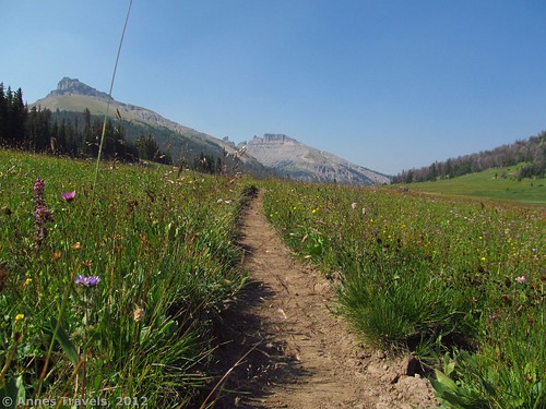
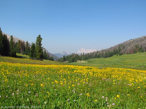
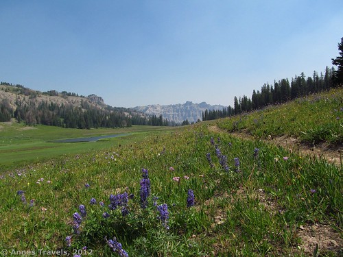
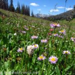
How could I ever have missed a hike as pretty as Bonneville Pass? All I can say is that Wyoming must have been holding out on us—I had no idea the state had views like this, let alone so close to Yellowstone and Grand Teton National Parks (a few hours’ drive). The pass itself is gorgeous in the summer, with wildflowers galore and views in all directions. It’s also a visual illustration of the Continental Divide: streams flow both ways out of the pass, one going to the Atlantic Ocean and the other, the Pacific Ocean. If you want even better views, there are options for hiking up above the pass and looking down at it. The hike isn’t even that long—only 4-6 miles (6-10 km) round trip through the pass, or a little longer (maybe 7 miles (11 km) RT) if you want to explore some of the higher views!
Key GPS Coordinates:
Parking Area: Approximately 43.7697 N 109.9844 W (43° 46′ 10.92″ N 109° 59′ 3.8394″ W); elevation 9350 feet (2,850 meters)
Enter the Pass: Approximately 43.7749 N 109.957 W (43° 46′ 29.64″ N 109° 57′ 25.1994″ W); elevation 9898 feet (3,017 meters)
End of the Pass: Approximately 43.7827 N 109.9489 W (43° 46′ 57.7194″ N 109° 56′ 56.0394″ W); 9,938 feet elevation (2999 meters)
“High View”: Approximately 43.7662 N 109.9555 W (43° 45′ 58.3194″ N 109° 57′ 19.8″ W); elevation 10,778 feet (3,285 meters) (but don’t quote me on that one)
Getting to the Bonneville Pass Trailhead
To get to the parking area, from Moran Junction head east on US-26E/US-287S. At 16.4 miles (26.4 km), you’ll pass Togwotee Mountain Lodge (where you can buy ice), at 20.4 miles (32.8 km), the road to Holmes Cave (I took a hike there; never again, the place was all wrong for all its views), at 27.4 miles (44 km), the sign telling you you’re entering Teton County, and at 33.4 miles (53.7 km), the road to the Brooks Lake Trailhead. Keep going east; another 4 miles (6.4 km) down the road (37.4 miles (60.2 km) from Moran Junction), there will be a well-signed road on your left that leads to the Bonneville Pass Trailhead. Turn left down this road. I believe that the road is signed for Brooks Lake, and is #515 (not #672). (If you’re coming from the other side, the Brooks Lake Road is 19.7 miles (31.7 km) from the Dubois airport; there is a National Forest Campground ½ mile (0.8 km) west of the road, so if you think you’ve gone too far, keep your eyes open for the campground to tell you that you’ve really gone too far).
Brooks Lake Road is fairly well-maintained, and certainly passible by low-clearance vehicles. Drive for 4 miles (6.4 km), where the road splits. Don’t be confused by the small parking area for “pinnacle buttes”; this is not where you want to be if you’re hiking to the pass. Also don’t be confused by the other turn-offs; there are several roads (mostly on your left) that go off of Brooks Lake Road (#515). After 4 miles (6.4 km), you will come to a road split; turn right onto Road #516; there should be a sign for the Bonneville Trailhead. This road will end 1.7 miles (2.7 km) later in a small parking lot. Just before you get to the parking area, you will see some horse rails on your right. We decided to camp here so we could get an early start the next morning. A family with horses was camping at the other horse “site” in the parking area. So, they apparently believe people will spend the night here. Also apparently (from another group we met on the trail), this is a fairly unused area. Maybe that’s why it’s still so pristine…it’s completely overlooked.
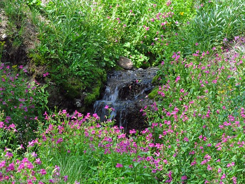
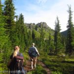
The trail begins near the signboard. It’s the only real trail in the area, so it’s not hard to find or follow. Soon after the parking area, it crosses a stream. This was easily stone-hopped in early August, but earlier in the season it could be a raging river. Keep walking as the trail winds through the forest, mostly uphill. You’ll cross several other smaller streams; these can mostly be jumped although most are no more than a few inches deep in the summer. Just before you reach the pass, you’ll cross the larger river again (you’re about 2 miles (3.2 km) from the trailhead at this point). This area has been torn up a bit by horses, so it was quite muddy when I hiked it. Keep to the sides of the trail and then rock-hop across the stream (again, earlier in the season this could be a more difficult crossing). If you want to skip the pass and just see some of the higher views, don’t turn towards the pass; instead, leave the trail and head into the woods up the steep hill. However, I recommend that you see the pass first, so turn left to follow the trail into the pass itself.
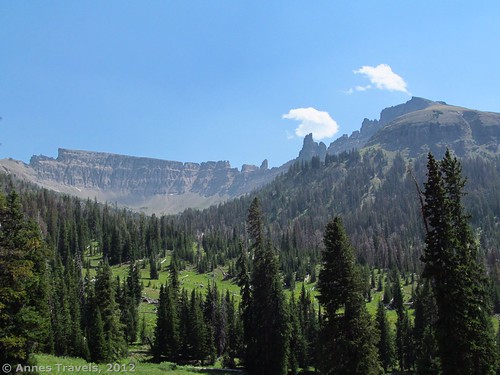
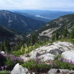
Looking back (west) from Bonneville Pass (the “high view” is on the left side of the picture near the top of the cliffs)
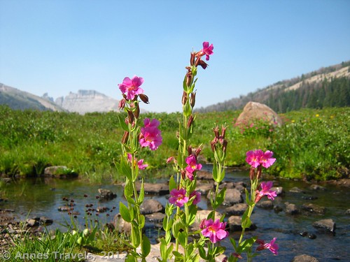
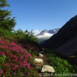
Not long after this, you will come to a sign marking the wilderness boundary. You’re already in the pass here, and if you’re there at the right time of year you’ll be seeing hundreds of wildflowers blooming all around you. Keep walking down the trail, through these flowers. Soon, a lake will appear on your left. You’ve officially crossed the Continental Divide; the stream you crossed twice earlier is on its way to the Pacific Ocean, but this like is flowing towards the Atlantic Ocean! You can explore the lake, but be careful as the area around it looks pretty marshy. We continued down the trail a short distance further to where the trail began to descend near a small stream that flows out of the lake. Here we ate lunch before continuing our adventure. You’ve now hiked 3 miles (4.8 km) to the end of the pass. (So they say. It felt much shorter.)
I’d read that you could climb the Northeast Pinnacle Butte, which is on the right side of the pass just behind you after the second river crossing. This turned out to be pretty much impossible, but we got a lot of great views trying. If you’re up to a little off-trail travel, go back close to the beginning of the pass near the second river crossing. Then strike off up the hill and into the trees. This is sometimes called “bushwhacking”, but there is so little undergrowth that it’s just like climbing a very steep hill. Watch out for the pine needles, though, they’re very slippery—several members of my group slipped and fell while climbing up and down the slope. This section is very steep, so take your time. You can also find some pretty wildflowers in the woods.
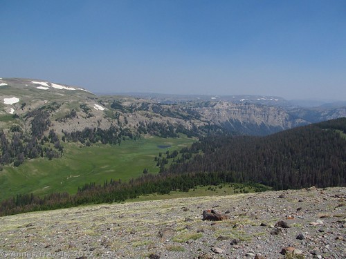
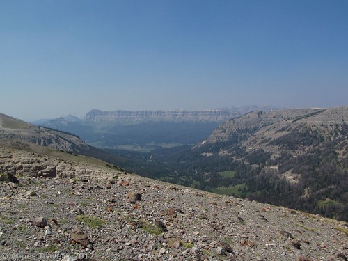
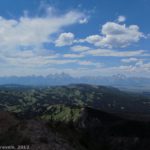
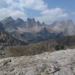
After several hundred feet, you break out of the trees and find yourself standing on grassy tundra. Already, the views are quite nice, but head up toward the top of the hill. The views get better and better as you climb, until at last you’re at the top—but don’t get too close! On the other side of this hill is a sheer cliff, several hundred feet high. If you want to see it, go right or left (I recommend left) to a place where the tundra flattens out enough that you can see some of the pinnacles that give the peak on your right its name. Now, you can also turn around and see Bonneville Pass below you, as well as the Wind River Range (to the south), Absaroka (ab-SOR-kuh) Range (which you’re hiking in right now and to the north, east, and west), and many Breccia cliffs all around you. Unfortunately, the day we went it was very smoky, due to a fire in Idaho, so we couldn’t see much. Next time, I want to head up the mountain on the other side of the pass (Austin Mountain)!
Return by the way you came. This is a nice little day hike that leaves quite a bit of time to explore and enjoy the scenery. They say that just the pass is 6 miles (9.7 km) round trip, but I’d say these are awfully short miles!
Round Trip Trail Length: 6 miles (9.7 km) if you do the pass,7-8 miles (11-13 km) if you climb up to see the view
Facilities: Hitch rails at the trailhead; the signboard is pretty useless
Fees: None
Trail 


Road 


Signs 


Scenery 


Would I go 100 miles out of my way for this? 


Overall Rating: 


This Week’s Featured Product!
This is a great little book that I picked up at a garage sale several years ago. In general, it talks about backpacking, but it also gives you a flavor for what’s in the area. I even found this hike in it. It’s not a day hikers guide or an all-inclusive guide, but it’s great reference, especially for backpackers. I enjoy the black-and-white pictures almost as much as the hiking descriptions J

I’m very happy to read this. This is the kind of information that needs to be given and not the accidental misinformation that’s at the other blogs. Appreciate your sharing this.
I located you’re blog via searching the net and I have to say a massive Thank You so much, I thought your post was incredibly educational I’ll come back to see what additional great information I can recieve here.
I’m glad reading your article. But wanna remark on few general things, The website style is great, the articles is really great : D. Good job, cheers
Very interesting post you made here. I enjoyed it.
I do not even know how I ended up here, but I thought this post was great. I do not know who you are but definitely you are going to a famous blogger if you aren’t already 😉 Cheers!
Pingback: Anne's Travels » Electric Pass: The Highest Named Pass in Colorado
Pingback: Anne's Travels » Link Roundup: My Favorite Hiking Websites
Pingback: Return to Beautiful Bonneville Pass - Anne's Travels
Pingback: Celebrating 20 Years of Family Vacation - Anne's Travels
Pingback: Dayhiking Wyoming's Dundee Falls - Anne's Travels