When I first hiked it in 2012, Bonneville Pass was one of the most peaceful, lovely places I’d been to in Wyoming outside of the Tetons. So when we were going to be driving through the area again last summer, it was one of the “top requested” hikes to do or redo. I was anxious to do it, myself, for a couple reasons. First, I didn’t believe the stated trail length of 6 miles RT. The trail certainly didn’t seem that long. Second, if the wildflowers were half of what they were the first time, I was thrilled for a second visit.
Quick Stats
The result? Beautiful wildflowers (even if they weren’t quite as nice as the first time) and just to get to the pass is as little as 3.6 miles RT! To really do it justice, though, I highly recommend walking all the way to the other end of the pass (5.4 miles RT – longer than I would have thought, but still no 6 miles).
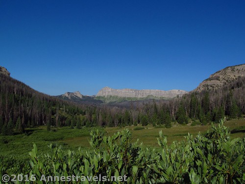
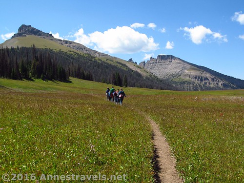
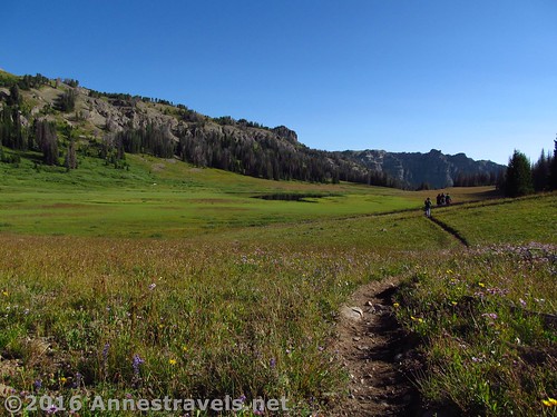
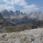
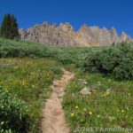
An early view on the trail to the pass. Sublette Peak is the little peak to the left of the unnamed ridgeline.
At any rate, we started very early one August morning (we’d slept virtually at the trailhead, so we didn’t have to move the van in the morning). We were the only people on the trail – a real joy, since the trail can get busy later on.
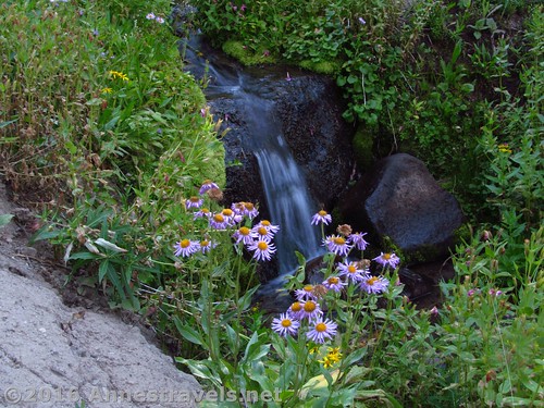
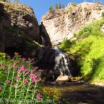
The trail begins by ascending, then quickly descending to a stream crossing over Bonneville Creek. In August, this wasn’t a difficult crossing (lots of stepping stones, branches, etc.), though in the early summer it could be pretty high, I’d guess. After the crossing, the trail works its way steadily uphill through the forest (lots of nice wildflowers in here) and across several more minor stream crossings, most with pretty waterfalls. (Seriously, in August, you could easily hop over most of them.)
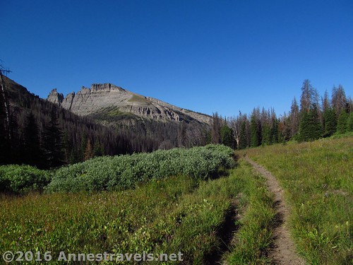
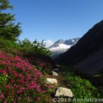
After 1.5 miles, the trail breaks out of the forest to enter low bushes. Here the views begin toward classic Absaroka peaks (back down the valley you’ve been hiking up). Continue switchbacking upward. There really is no relenting on the steepness until you reach the pass.
At 1.8 miles, cross Bonneville Creek for a second time and enter Bonneville Pass. The trail begins to flatten out significantly, though it still climbs slightly up to the Continental Divide in the middle of the pass.
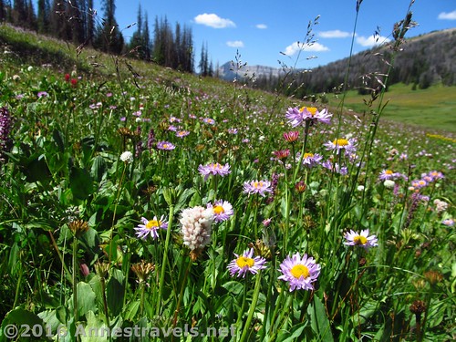
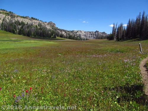
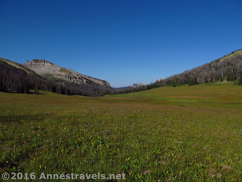
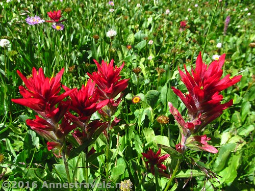
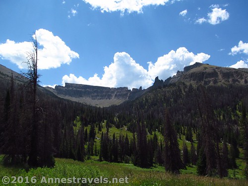
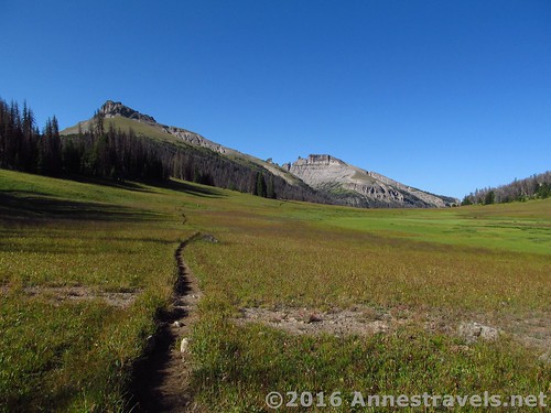
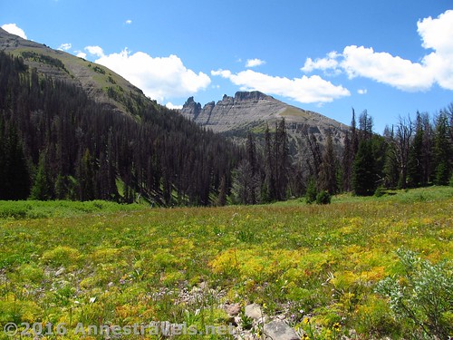
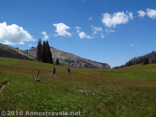
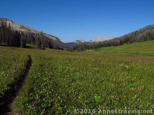
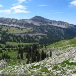
Wander your way through lovely, peaceful Bonneville Pass. Absaroka peaks peek out from both ends of the pass, while wildflowers and meadows abound nearby. Above the pass, more peaks take shape. Totally beautiful!
Walk to the end of the pass, where it crosses a creek (Dundee Creek; you’ve crossed the continental divide, so this water is going to the Atlantic, while the water in Bonneville Creek flows into the Pacific. Or something like that).
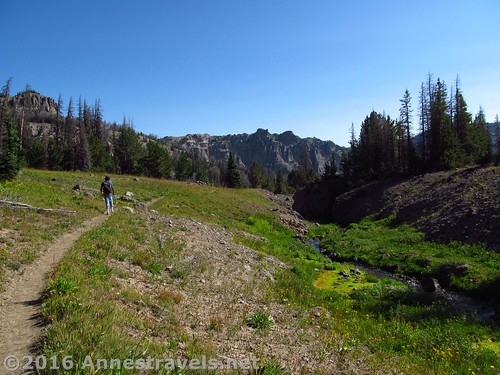
At the end of Bonneville Pass. You can turn around here or continue on the trail for other adventures 🙂
Enjoy the views from here before continuing on an adventure to Dundee Falls (post coming soon!) or returning to your vehicle. Either way, it’s a peaceful, lovely way to spend half a day!
Round Trip Trail Length: 3.6-5.4 miles
Highest Elevation: 9,964 ft. (Continental Divide)
Lowest Elevation: 9,277 ft. (parking area)
Net Elevation Change: 687 ft.
Facilities: Hitch rails near the trailhead
Fees: None
Notes: This is a really great day hike if you’re traveling through Togwotee Pass east of Moran Junction east of the Tetons. The mountain views are of Absaroka Peaks, which are unique and nothing like the Tetons. Pinnacle Peak and an unnamed ridgeline / peaks to the west are especially nice.
Trail 


Road 


Signs 


Scenery 


Would I go 100 miles out of my way for this? 


Overall Rating: 


Key GPS Coordinates for Bonneville Pass
Parking: 43.76795N / -109.98830W (43° 46′ 4.6194″ / -109° 59′ 17.8794″) (9,277ft.)
Trail beginning: 43.76805N / -109.98792W (43° 46′ 4.98″ / -109° 59′ 16.512″) (9,290ft.) (0.0 – ended 6.6)
Stream crossing: 43.76911N / -109.98451W (43° 46′ 8.7954″ / -109° 59′ 4.236″) (9,308ft.) (0.21)
Enter Bonneville Pass: 43.77489N / -109.95806W (43° 46′ 29.6034″ / -109° 57′ 29.016″) (9,889ft.) (1.8)
End of Bonneville Pass: 43.78256N / -109.94910W (43° 46′ 57.2154″ / -109° 56′ 56.76″) (9,913ft.) (2.7)
The gpx file for Bonneville Pass and Dundee Falls can be downloaded – please note that this and the GPS Coordinates are for reference only and should not be used as a sole resource when hiking this trail.
Download GPX File size: 128.6 KB Downloaded 376 times
(Note: I do my best to ensure that all downloads, the webpage, etc. are virus-free and accurate; however, I cannot be held responsible for any damage that might result, including but not limited to loss of data, damages to hardware, harm to users, from use of files, information, etc. from this website. Thanks!)
Getting to Bonneville Pass Trailhead
From Moran Junction, head east on US-26E / US-287S. Pass the Togwotee Mountain Lodge and drive through Togwotee Pass. At 37.4 miles, a well-signed road will appear on the left (this is 4 miles beyond Togwotee Pass). Turn left and follow the road (FR-515) 4 miles, turn right onto FR-516 (a sign should point you toward Bonneville Pass). The road ends 1.7 miles later in a fair sized parking lot.
Alternatively, from Dubois, head west on US-26W for 19.7 miles. Turn right onto the gravel road and follow the directions above.
The road to Bonneville Pass Trailhead is gravel / dirt, but should be passable by low-clearance vehicles.
Zoom map out to browse nearby hikes & places of interest
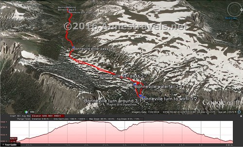
Visual trail map of the Bonneville Pass Trail, plus my side trek to see Dundee Falls. The parking area is at the top of the map. North is to the right.
This Week’s Featured Product!
I first learned about Bonneville Pass in this book. (Actually, how we ended up with this book is a story unto itself… suffice to say we bought a stroller and ended up with a wetsuit. Is that a good explanation?) Ok, crazy garage sale stories aside (and yes, we did get the stroller, too, along with this book, a camping cook kit, some freeze dried food, a wetsuit, a snorkel set, a really nice camping blanket, and who-knows-what-all-else), this is a great book for hiking this area of Wyoming.


Pingback: Blog Sneak Peak: The Wyoming You Never Knew
Pingback: 10 Places to Go Exploring in the Western US - Anne's Travels
Pingback: I am the fullness... - Anne's Travels
Pingback: 12 Epic Hikes in the Western US, Pt. 2 - Anne's Travels
Pingback: 12 Best Day Hikes in Grand Teton National Park - Anne's Travels