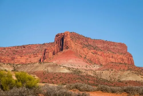
In my wanderings around the internet looking for places my van could access in the Maze District of Canyonlands (no easy feat!), I read about the Colorado River Overlook, also known as the Cataract Canyon Overlook. Technically, it’s a short spur off of the Waterhole Flat Road outside of the Maze District proper (in Glen Canyon National Recreation Area). While no official trail leads to the unmarked and very unofficial overlook, I found and eventually followed a line of cairns to the rim of the canyon – and that was good enough for me!
Quick Stats
We parked about 400ft. above the end of the road – at this point, the roadbed goes down a potholed slickrock shelf that seemed too rough for my 2WD, high clearance van. We figured it was better to just walk.
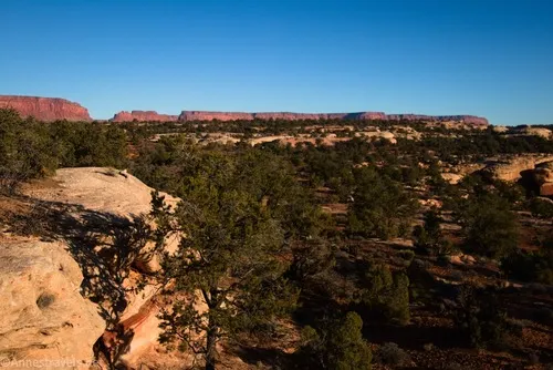
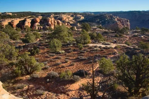
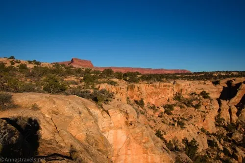
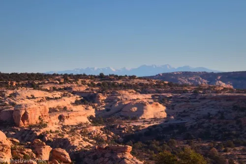
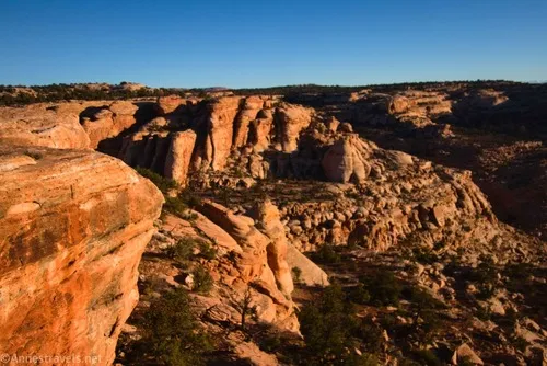
At the 4×4 parking area, turn left (north and a bit east) to head across slickrock. If it’s like when I visited, you’ll fairly quickly begin to see cairns. Follow these, as there’s only one safe place in this area to drop over the edge of a slickrock cliff on your right. After descending the cliff, a light but visible social path heads more or less due east across the desert, through trees, and over slickrock until you reach the edge of a short and extremely steep sidecanyon with views down to (or nearly to depending on where on the rim you are) the Colorado River.
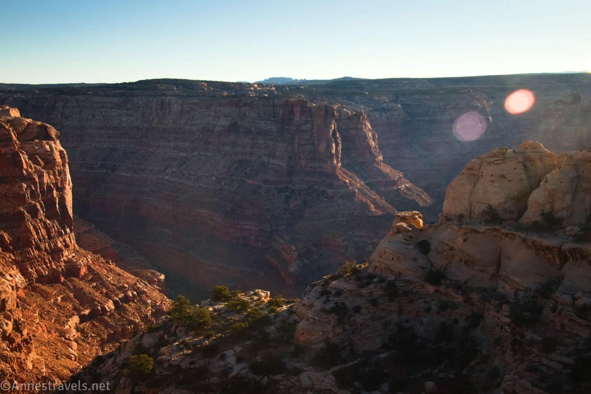
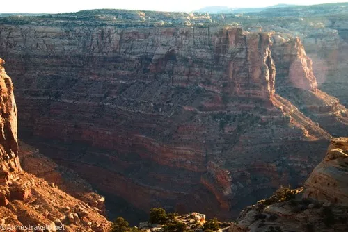
This is the overlook – anywhere along this canyon rim. I found the views to be better at first than as you progress further south. I marked a place where the Colorado River was especially visible about 0.3 miles from the high clearance parking area.
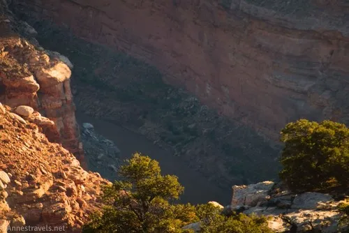
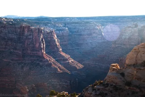
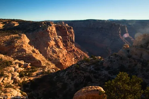
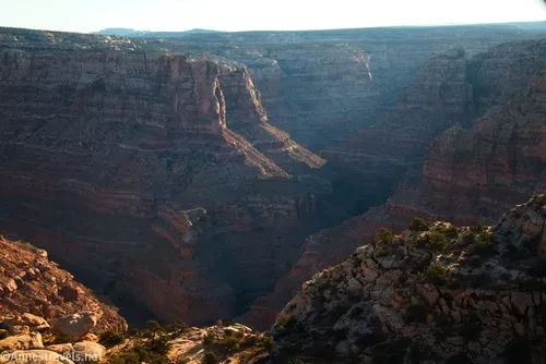
At this point, you’re looking down the short sidecanyon about 2,000ft. into Cataract Canyon, named by John Wesley Powell for the numerous and very rough rapids as the Colorado River tears down the canyon. If Lake Powell is especially high, you may see quiet water – that’s part of the lake – rather than rapids.
From here, you’ll eventually want to retrace your steps to your vehicle. I sadly didn’t have a lot of time to explore, but I did head south far enough to find a light social trail heading south until you can round the head of the sidecanyon. I’d guess that from here you could walk east and maybe a little north to more views straight down into Cataract Canyon.
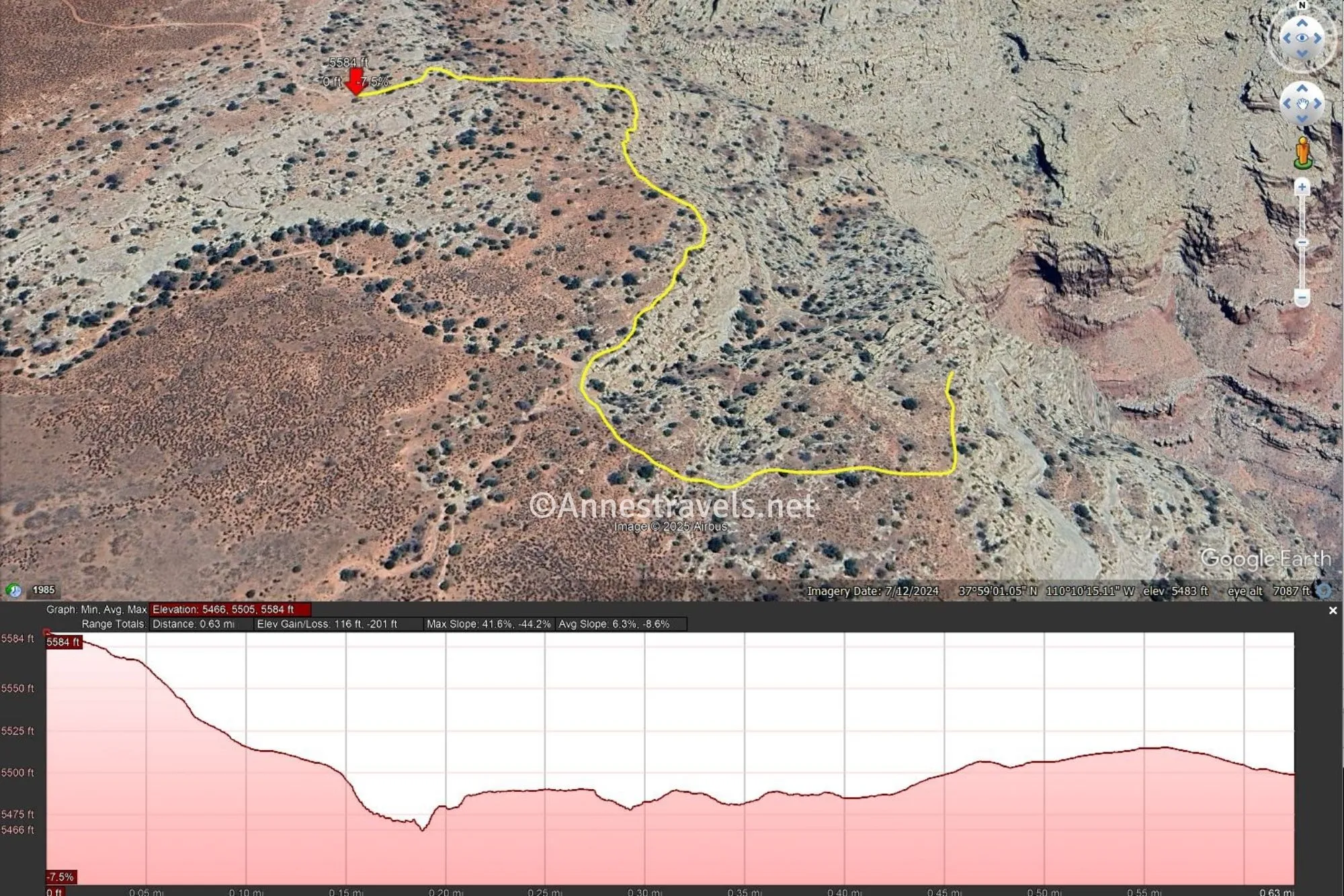
Round Trip Trail Length: I went 0.8 miles but you could probably cut it down to half of that
Elevation Gain: Up to 317ft. (5,584ft. to 5,466ft.) – for the shorter distance, you probably won’t go much more than 160ft. in elevation gain
Facilities: None, although there’s nothing stopping you from spending the night here if you Leave No Trace.
Fees: None
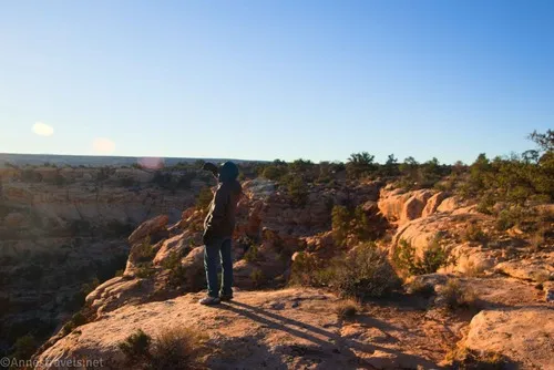
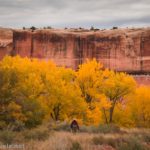
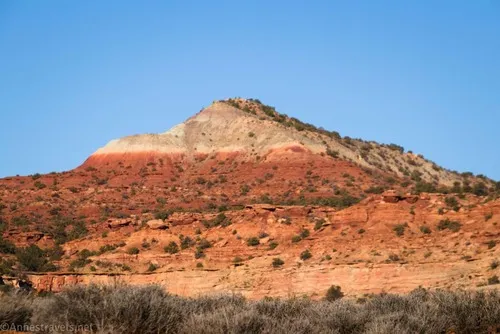
Trail Notes: There is no trail. I found cairns and a light social path in some places, but that was it. The parking area is invisible once you drop beneath the first cliff. So use your brain and don’t get lost, ok? There also are no guardrails, so use caution near the edge. I visited in the very early morning in November; the light got better as the sun rose a bit into the sky and illuminated the depths of the canyon with light if not sunshine.
Trail 
![]()
![]()
![]()
![]()
Road ![]()
![]()
![]()
Signs ![]()
![]()
![]()
![]()
Scenery ![]()
Would I go 100 miles out of my way for this? ![]()
![]()
Overall Rating: ![]()
![]()
![]()
GPS Coordinates for the Colorado River Overlook/Cataract Canyon Overlook
High Clearance Parking: 37.9859440°, -110.1745540° (37°59.15664′, -110°10.47324′ / 37°59’09.3984″, -110°10’28.3944″) (5,613ft.) (0.0)
4×4 Parking: 37.9854810°, -110.1736650° (37°59.12886′, -110°10.41990′ / 37°59’07.7316″, -110°10’25.1940″) (5,587ft.) (384ft.)
Rim of Cataract Canyon: 37.9858950°, -110.1712130° (37°59.15370′, -110°10.27278′ / 37°59’09.2220″, -110°10’16.3668″) (5,485ft.) (0.25)
View of the Colorado River: 37.9853580°, -110.1712400° (37°59.12148′, -110°10.27440′ / 37°59’07.2888″, -110°10’16.4640″) (5,484ft.) (0.30)
Diminishing views/turn around: 37.9841260°, -110.1706110° (37°59.04756′, -110°10.23666′ / 37°59’02.8536″, -110°10’14.1996″) (5,488ft.) (0.40)
End: 37.9860150°, -110.1746150° (37°59.16090′, -110°10.47690′ / 37°59’09.6540″, -110°10’28.6140″) (5,615ft.) (0.80)
The gpx file for my exploration at the Cataract Canyon Overlook can be downloaded – please note that this and the GPS Coordinates are for reference only and should not be used as a sole resource when hiking this trail.
Download GPX File size: 16.6 KB Downloaded 12 times
The gpx file that includes a hypothetical route that is longer and goes to the actual rim of Cataract Canyon can also be downloaded – remember that this route has not been tested.
Download GPX File size: 22.0 KB Downloaded 18 times
(Note: I do my best to ensure that all downloads, the webpage, etc. are virus-free and accurate; however, I cannot be held responsible for any damage that might result, including but not limited to loss of data, damages to hardware, harm to users, from use of files, information, etc. from this website. Thanks!)
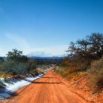
Getting to the Cataract Canyon Overlook Trailhead
Take the Waterhole Flat Road 29.3 miles to a very visible if not super used dirt road on the right (approx. 37.989962, -110.184497). Turn right on this road for 0.7-0.8 miles – if you don’t have 4×4 or if you have a long wheelbase, you probably want to stop just before the final slickrock slope to the 4×4 parking area.
The Best Guide to the Maze District
David Day has written what is – in my opinion – the best guide to the Maze District, not to mention the other districts of Canyonlands National Park. From descriptions of the roads to detailed maps, history, and more about the various hikes and trails, it’s sure to introduce you to some of the region’s best hikes. Buy your copy here.