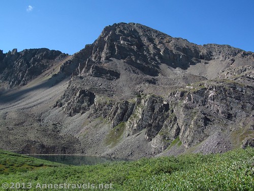
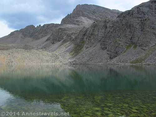
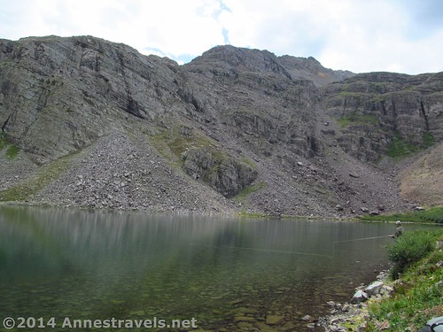
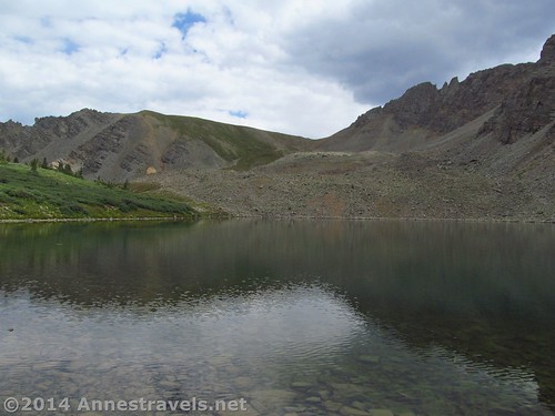
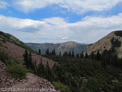
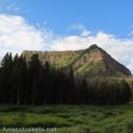
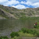
A couple weeks ago, I posted about hiking to Electric Pass, the highest named pass in Colorado. The trail to the pass isn’t exceedingly popular, but Cathedral Lake – which can be a side trip off of your hike to Electric Pass or a destination of its own – certainly is. And for good reason. Cathedral Lake is one of those pristine green mountain lakes set at the foot of a huge cliff for an awesome presentation while having enough room around it for (a few) backpackers to camp. I’ve never been in love with mountain lakes, but this one seemed like a nice place to rest on our way down from the pass, so we took a shortcut over to Cathedral Lake and really did enjoy its grandeur. For those who want to hike this as a destination unto its own, the trail is only 6 miles (9.6 km) RT; for Electric Pass hikers, the side trip only adds 0.3 miles (0.5 km) to the RT distance – and I’d call that a valid reason in itself to visit such a nice lake!
Quick Stats
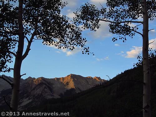
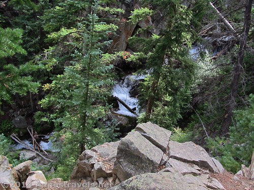
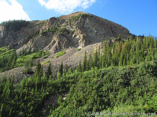
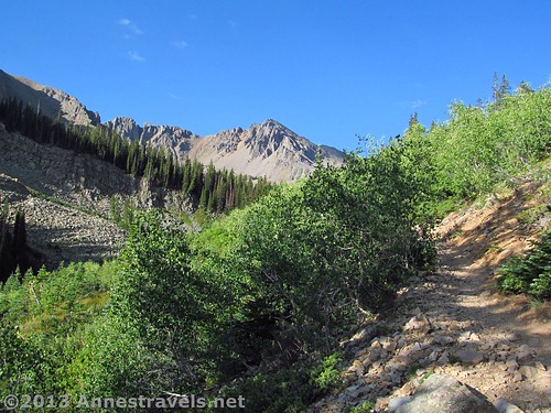
From the parking area, head up the trail that begins to ascend almost from the beginning through an aspen forest. Be on the lookout near the beginning of the trail for views to the left of nearby mountains. After about a half a mile (0.8 km), the trail comes to an access point to Pine Creek and a small waterfall. This is one of the few access points to the stream, so if you need it for some reason (water, for example), you’d be wise to do it now. Keep walking up the trail that now winds through meadows and scrubbier forests with views of nearby cliffs and Cathedral Peak ahead of you. The trail crosses several rock fields (on a very good trail) before reaching the most difficult section of the trail before Cathedral Lake: a set of extremely steep switchbacks. Only yards (meters) after the top of the switchbacks, the trail comes to a marked trail junction. Turn left to go to Cathedral Lake.
For Cathedral Lake Hikers:
The trail now descends to Pine Creek. As it’s the first downhill you’ve encountered on the trail, it’s a bit of a relief! However, the trail soon begins to ascend again as it heads up to Cathedral Lake. Do your best to keep heading in the direction of the lake, as the number of social trails increases the closer you get to the lake itself. Finally, you will come over a rise, walk downhill for a short distance and be at Cathedral Lake. Stay here, or turn right or left to find a more private place near the shoreline.
For Electric Pass Hikers:
If you’re coming from Electric Pass, you’ll want to take an unmarked trail that forks right through the low bushes about 0.3 miles (0.5 km) from the initial turn away from the Cathedral Lake Trail toward Electric Pass. This is not too long (if you’re coming back down) after leaving the meadows behind and entering the bushy area. If you miss it, no big problem – just take the normal trail over to Cathedral Lake.
Take the steep social trail as it goes along the side of the “cliff” above Pine Creek; then take one of the other social trails that plunge down the side of the “cliff”. Cross the creek (you’ll probably find a bridge along one or more of the social trails) and then ascend via the real trail or a social trail up to Cathedral Lake itself. Just keep heading in the general direction of the lake and you’ll find it.
Once arriving at Cathedral Lake, turn right or left along the shoreline to find some (comparative) peace and quiet by walking around the lake away from the main camping / visiting / fishing area.
The fishing must be quite good at Cathedral Lake – in the short time we sat near the lake to eat a snack, someone near us landed a fish and took it home for supper!
The Bottom Line is that Cathedral Lake is, if you like mountain lakes, a very lovely one. It’s also a wonderful side-trip while doing Electric Pass – when I do the Pass again (and I expect I will on a nicer day) I’ll be sure to do Cathedral Lake again as well.
Round Trip Trail Length: About 11.2 miles (18 km) if hiking via Electric Pass, about 6 miles (9.6 km) if only hiking to Cathedral Lake.
Facilities: None. Most people use the “facilities” at the far end of the parking lot.
Starting Elevation: 9,965 ft.; 3,037 m
Highest Point (Electric Pass Peak): 13,616 ft.; 4,150 m
Fees: None
Trail 


Road 


Signs 


Scenery 


Would I go 100 miles out of my way for this? 


Overall Rating: 


Key GPS Coordinates for Electric Pass
Electric Pass Parking Area: 39.04282N / -106.80833W (39° 2′ 34.1514″ / -106° 48′ 29.9874″)
Electric Pass Trailhead: 39.04282N / -106.80820W (39° 2′ 34.1514″ / -106° 48′ 29.5194″) (9,965 ft.; 3,037 m)
Waterfall view 1 (the best): 39.03894N / -106.81591W (39° 2′ 20.1834″ / -106° 48′ 57.276″) (10,360ft.; 3,157 m)
Waterfall view 2 (not very good): 39.03704N / -106.82455W (39° 2′ 13.3434″ / -106° 49′ 28.38″) (10,944 ft.; 3,335 m)
Electric Pass Trail/Cathedral Lake Trail Junction: 39.03267N / -106.83813W (39° 1′ 57.612″ / -106° 50′ 17.268″) (11,760ft.; 3,584 m) (2.6 miles; 4.1 km)
*OR*
Upper Junction to Lake on the Electric Pass Trail (unmarked; if you’re coming down from Electric Pass, turn right): 39.03254N / -106.84209W (39° 1′ 57.1434″ / -106° 50′ 31.5234″) (12,006 ft.; 3,659 m) (2.9 miles; 4.6 km)
Second Cathedral Lake / Electric Pass Trail Junction (unmarked): 39.03180N / -106.84039W (39° 1′ 54.4794″ / -106° 50′ 25.4034″) (11,974ft.; 3,649 m) (2.5 miles (4 km) if coming from the parking area, 7.9 miles (12.7 km) if coming from Electric Pass)
Cathedral Lake area: 39.02910N / -106.84107W (39° 1′ 44.7594″ / -106° 50′ 27.852″) (11,960ft.; 3,645 m)
(2.8 miles (4.5 km) from the parking lot; 8.2 miles (13.2 km) via Electric Pass)
Cathedral Lakeshore: 39.02888N / -106.84237W (39° 1′ 43.968″ / -106° 50′ 32.532″) (11,917ft.; 3,632 m) (2.9 miles (4.6 km) from the parking lot; 8.3 miles (13.3 km) via Electric Pass)
The gpx file for Cathedral Lake can be downloaded as part of the Electric Pass Loop – please note that this and the GPS Coordinates are for reference only and should not be used as a sole resource when hiking this trail.
Download File size: 276.1 KB Downloaded 354 times
(Note: I do my best to ensure that all downloads, the webpage, etc. are virus-free and accurate; however, I cannot be held responsible for any damage that might result, including but not limited to loss of data, damages to hardware, harm to users, from use of files, information, etc. from this website. Thanks!)
Getting to Electric Pass Parking Area
From Aspen, follow CO-82 W to the traffic circle just outside of town (just after crossing the bike path). Take the third exit onto County Road 15 / Castle Creek Road. Drive 12.0 miles (19.3 km); turn right on an unmarked dirt road that climbs steeply uphill into an aspen forest. After 0.6 miles (0.9 km), arrive at the Electric Pass Parking Area.
From Glenwood Springs, drive south/east on CO-82 E 39.6 miles (63.7 km). In the traffic circle, take the second exit onto County Road 15 / Castle Creek Road. Drive 12 miles (19.3 km); turn right onto an unmarked dirt road that climbs steeply uphill through an aspen forest. After 0.6 miles (0.9 km), arrive at the Electric Pass Parking Area.
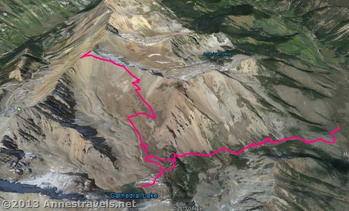
A visual map of the Cathedral Lake Trail and the Electric Pass Trail – Cathedral Lake Trail goes from the right side to Cathedral Lake (in the center); Electric Pass Trail goes from the center to the left side.
This Week’s Featured Product!
Looking for more information on Electric Pass, or more hikes in Colorado? This book covers 100 trails around the state, from mountain lakes to prairie hikes.

