The Cabinet Mountains Wilderness is considered one of the most remote areas to hike in the lower 48 states. It’s true that it’s pretty remote – at least in terms of the full spectrum of wild animals that call the Cabinets home. If you’re looking for one of the more remote trails (like, it’s highly unlikely you’ll see another person all day) in the wilderness that still is recommended by the National Forest Service, I highly recommend the area around Milwaukee Pass – namely, Cliff Lake and St. Paul Peak. You can also hike to Chicago Peak and Copper Lake if you like off-trail travel. Hiking the entire area (two lakes and two peaks), I only racked up 5.5 miles (plus hiking 2.4 miles up the road and another 2.4 miles back because my high clearance van couldn’t make it to the end). Cliff Lake and St. Paul Peak run you only about 3.9 miles. And since the views are outstanding, you get quite the bang for your buck.
Quick Stats
But before you go jumping in your Camry to take the trek, realize that you’ll want good off-trail hiking skills before you attempt hiking St. Paul Peak. There is a trail to Cliff Lake, but the trail beyond that is hit-and-miss. And you will be doing a little mild scrambling (Class 2, maybe Class 3 depending on your route, not too bad in the way of exposure). You’ll also want 4×4 and probably high clearance. My van has high clearance, and I wasn’t happy about rocky section of the road, so I parked 2.3 miles below the trailhead at a place where an old, overgrown road goes off.
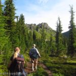
I detailed getting from the trailhead to Milwaukee Pass in my post about Copper Lake and Chicago Peak, so I won’t reiterate it here. Suffice to say there’s a great viewpoint at about mile 0.25; continue on the trail to where the trail turns suddenly right to ascend into Milwaukee Pass. Continue across the pass and take the trail down to Cliff Lake at about mile 1.0 from the trailhead.
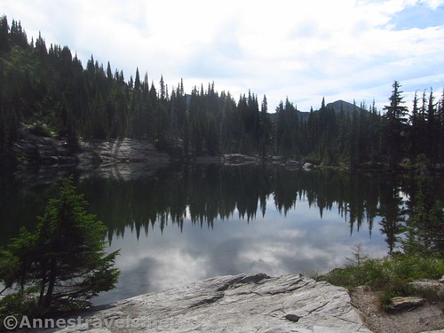
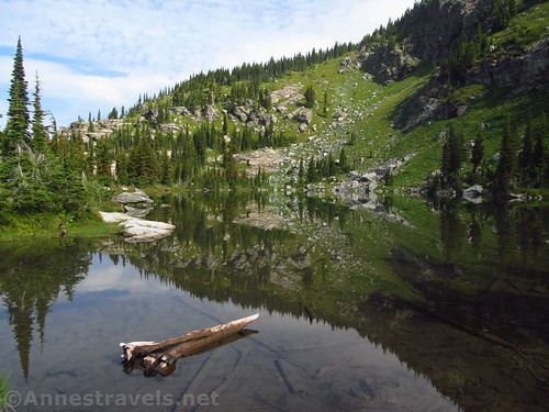
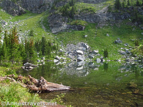
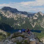
Cliff Lake is quite nice. There are several campspots (well-used) around the lake, so it must be popular with backpackers. But no one was camping that day. There were a fair number of mosquitos; we kept moving and it wasn’t too bad.
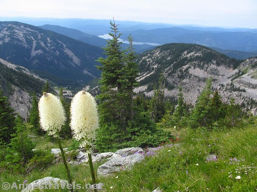
Turn right to go around the lake and cross the outlet. Then continue uphill via the various social paths. After a short distance, we came out of the trees on the ridgeline. The views from here were excellent. Even if you only plan to go to Cliff Lake, I highly recommend going up to see the view down on the Noxon Reservoir and to the nearby peaks.
Unfortunately for me, about this point the sun vanished. Fortunately for me, as we proceeded up the mountain via various social trails, we saw mountain goats on the nearby slopes. How cute! They kept their distance from us, and we had no interest in tangling with them.
The trails peter out, start again, lead you to sheer rock faces, and generally make you wonder whether you’re following a decent trail or not. Several of us took different routes, some better than others. About the one thing they all had in common was that they were steep.
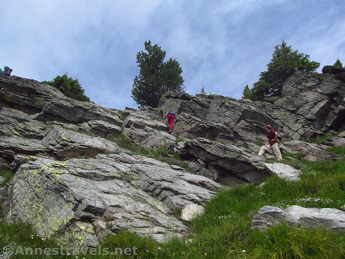
There is at least one section of rock scramble. With a little bouldering experience, it wasn’t too bad. Just be aware that it could be a Class 3 scramble, much worse if you try to go up the wrong route. Long legs are helpful (said someone whose legs are only medium length).
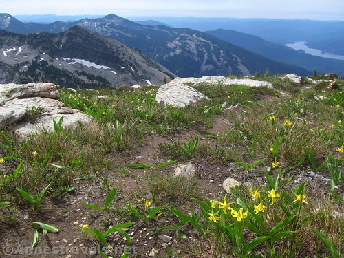
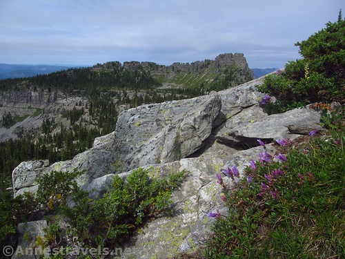
At last, the paths take you up to a kind of ridgeline. A general path leads upward through rock fields, across tundra-like meadows, and (for us in mid-July) past snowfields. The views are pretty good, but they’ll be much better at the summit.
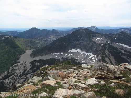
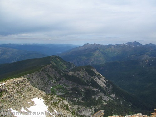
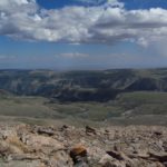
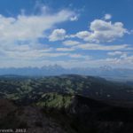
At last, 0.9 miles above Cliff Lake (it felt at least twice that) you’ll come to the summit of St. Paul Peak (you can’t miss the summit; it’s the highest thing around). The views are fantastic to the west and north, and excellent to the south, but my favorite views were to the east and southeast.
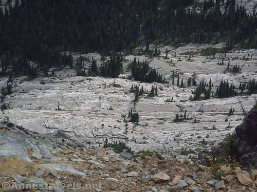
To the southeast, St. Paul Lake and St. Paul Pass between St. Paul Lake and Rock Lake are very nice. If you look down, the ground is sheer rock, rippling like granite in Yosemite.
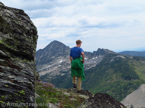
Further south, the pass between St. Paul Peak and Rock Peak is spectacular. The day was a bit hazy, as well as cloudy, but if we’d had more time (like, a lot more time!) I would have loved to try out the scramble toward Rock Peak.
Not all of my group had made it up to the summit, so we fairly quickly went back down. It would have been nice to enjoy the view a bit longer, but I’m not sorry we descended, considering the storm that blew in that afternoon. But overall, if you don’t mind a trailless scramble on seep meadows and a 4×4 road, the hike up St. Paul Peak was worth the effort, and a great way to spend the day!
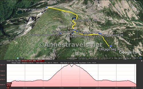
Round Trip Trail Length: RT to Cliff Lake, about 2.0 miles. RT to St. Paul Peak, about 3.8 miles. Including Copper Lake and Chicago Peak, I hiked a total of 5.5 miles from the trailhead.
Elevation Gain: 1,831ft. (6,443ft. to 7,671ft.)
Facilities: None
Fees: None
Trail Notes: This is not the easiest scrambling I’ve ever done (but maybe I just needed lunch?) The terrain is more meadows than scree, though you’ll see plenty of rocks. The views are well worth the hike!
Trail 


Road 


Signs 


Scenery 


Would I go 100 miles out of my way for this? 


Overall Rating: 


GPS Coordinates for Cliff Lake and St. Paul Peak
Where I parked: 48.0619500°, -115.7016500° (N48° 03.717′ W115° 42.099′ / 48°03’43.0200″, -115°42’05.9400″) (5,466ft.)
Trailhead: 48.0666500°, -115.6921667° (N48° 03.999′ W115° 41.530′ / 48°03’59.9400″, -115°41’31.8000″) (6,445ft.) (0.0) (end 5.51)
Enter Wilderness: 48.0680167°, -115.6878833° (N48° 04.081′ W115° 41.273′ / 48°04’04.8600″, -115°41’16.3800″) (6,673ft.) (0.23)
Viewpoint: 48.0681333°, -115.6874167° (N48° 04.088′ W115° 41.245′ / 48°04’05.2800″, -115°41’14.7000″) (6,680ft.) (0.26)
Trail Junction: 48.0733500°, -115.6848667° (N48° 04.401′ W115° 41.092′ / 48°04’24.0600″, -115°41’05.5200″) (6,618ft.) (0.71) (returned 1.58 & 4.15)
Copper Lake: 48.0763500°, -115.6849000° (N48° 04.581′ W115° 41.094′ / 48°04’34.8600″, -115°41’05.6400″) (6,352ft.) (1.00)
Cliff Lake: 48.0728167°, -115.6791833° (N48° 04.369′ W115° 40.751′ / 48°04’22.1400″, -115°40’45.0600″) (6,659ft.) (1.92)
St. Paul Peak: 48.0790500°, -115.6766833° (N48° 04.743′ W115° 40.601′ / 48°04’44.5800″, -115°40’36.0600″) (7,682ft.) (2.79)
Leave the Trail for Chicago Peak: 48.0727833°, -115.6857167° (N48° 04.367′ W115° 41.143′ / 48°04.36700′, -115°41.14300′) (6,652ft.) (4.21)
Chicago Peak: 48.0737667°, -115.6870167° (N48° 04.426′ W115° 41.221′ / 48°04’25.5600″, -115°41’13.2600″) (6,988ft.) (4.52)
Regain Trail: 48.0713167°, -115.6871000° (N48° 04.279′ W115° 41.226′ / 48°04’16.7400″, -115°41’13.5600″) (6,646ft.) (5.02)
The gpx file for my hike to Copper Lake, Cliff Lake, St. Paul Peak, and Chicago Peak can be downloaded – please note that this and the GPS Coordinates are for reference only and should not be used as a sole resource when hiking this trail.
Download GPX File size: 149.6 KB Downloaded 238 times
The gpx file for Cliff Lake and St. Paul Peak only can also be downloaded
Download GPX File size: 153.7 KB Downloaded 209 times
(Note: I do my best to ensure that all downloads, the webpage, etc. are virus-free and accurate; however, I cannot be held responsible for any damage that might result, including but not limited to loss of data, damages to hardware, harm to users, from use of files, information, etc. from this website. Thanks!)
Getting to the Copper Lake/Chicago Peak Trailhead
From Libby, Montana, drive west on US-2 for about 15 miles. Turn left onto MT-56S for 34.6 miles, then turn left on MT-200E for 6.7 miles. Next to the wood factory, turn left on Government Mountain Road (dirt) and take the first right onto NF-150. Drive about 5.3 miles and turn left to stay on NF-150. After 2.5 miles, turn right on the road that (sort of) follows West Fork Rock Creek (at least for the first switchback). The road becomes increasingly narrow and bumpy, always climbing steeply uphill via many switchbacks. Our high clearance van made it up 4.3 miles (about 10 switchbacks); the section of road just beyond this point is very rocky and requires 4×4 and high clearance. Continue upward another 2.4 miles (and another 6 switchbacks) – a few open areas offer excellent views across the Cabinet Mountains. There is one downhill just before the trailhead at the end of the road. (Some maps may show the road continuing, but it doesn’t go past the parking area.)
From Sandpoint, Idaho, take US-2 to the point where US-2 joins US-95. Instead of turning onto US-95, continue straight on ID-200 for 33.2 miles. Enter Montana (the road becomes MT-200) and continue another 17.1 miles. At the wood factory, turn left on Government Mountain Road and follow the directions (above) to the trailhead.
From Kailispell, Montana, take US-93 South for 35 miles. Turn right onto MT-28W for 46.6 miles, then turn right onto MT-200W. After 59.4 miles, turn right next to the wood factory onto Government Mountain Road and follow the directions (above) to the trailhead.
Zoom map out to browse nearby hikes & places of interest
This Week’s Featured Product!
This book is considered the cream of the crop for books about hiking in the Cabinet Mountain Wilderness – in fact, it’s one of the only books about the region. The guide includes more than 100 trails in the wilderness area, including some specifically for mountain bikes.











Pingback: Sneak Peak: The Beauty of Western Montana! - Anne's Travels