Last summer, I had the great opportunity to take a spontaneous hike. Actually, we planned it about 10 minutes before we left, so it wasn’t completely spontaneous. While bicycling on a scenic but not-quite-local road, we’d run across a sign for the Cornwall Preserve. We’d taken our bikes through part of the preserve (I’ve since read that bikes aren’t allowed – oops!), but schedules and the not-quite-bike-friendly nature of one of the trails made us want to go back in the middle of August to explore it in more depth. It turns out that the Cornwall Preserve in August is beautiful. There are so many wildflowers, butterflies, views across Lake Ontario, and more! (Note: The Cornwall Preserve is closed on Wednesdays, so plan accordingly.)
Quick Stats
The closest town to the Cornwall Preserve is Pultneyville, New York. It’s a charming little village with a yacht club and (if you listen to my six-year-old self) the awesome B. Forman Park (a northern terminus of the Underground Railroad). B. Forman is definite better than the Cornwall Preserve for a picnic and to scramble down to the shore of Lake Ontario, but the Cornwall Preserve has B. Forman Park beat for hiking.
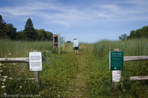
The parking area is small but should be adequate most of the time (do not park in the nearby Lakeview Cemetery). There are several signs at the trailhead, and since at this point there’s only one trail, it’s not hard to tell which way to go. This section is called the Cass Meadow Trail.
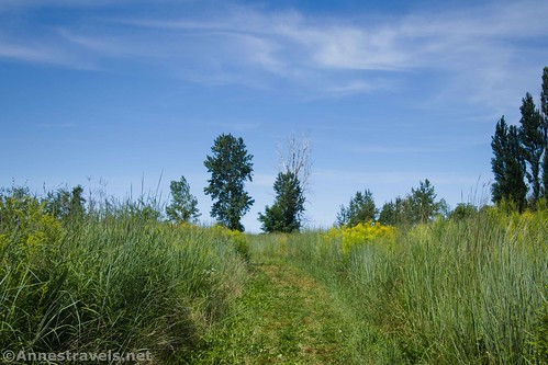
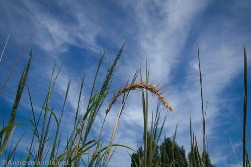
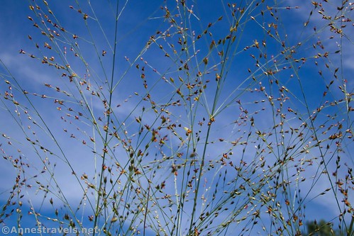
The trail (mown) wanders through tall grass. I’m guessing the field must be mowed at some time – otherwise it would grow in! But it seems to be left wild for the summer season.
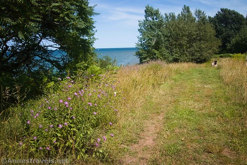
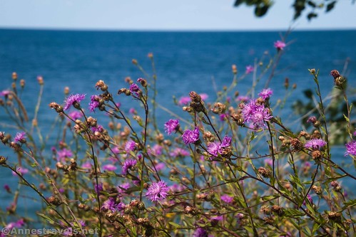
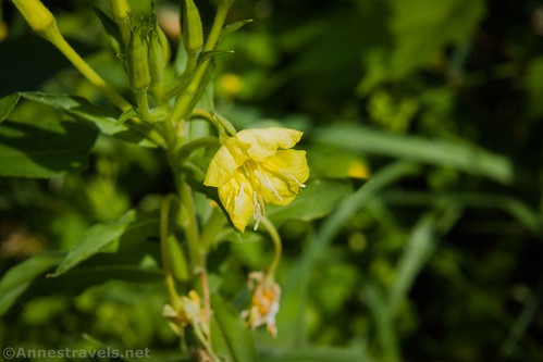
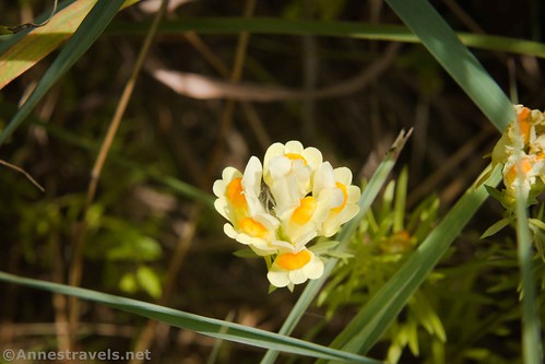
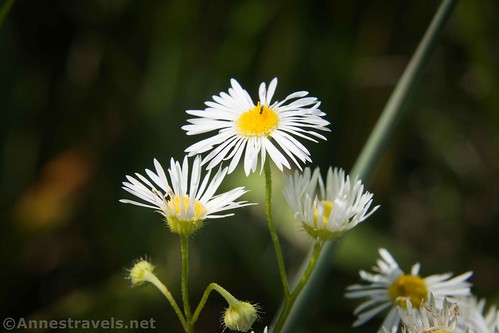
There were quite a few wildflowers. I had so much fun taking photos of them! There are also occasional benches on which to rest.
After about a quarter mile, pass the Throop Trail on the right. We didn’t explore it, but I hear it winds about 0.2 miles through woods and swamps to meet up with the Lake Bluff Trail further east.
About mile 0.3, the Cass Meadow Trail ends at the Lake Bluff Trail. We had gone right the time before; the trail takes you out to the end of Hamilton Street Extension. I hear this is a public road, but it looked very much like a private marina to me. So this time, we turned left (west) on the Lake Bluff Trail following the sign for the Woods Trail.
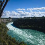
The Lake Bluff Trail takes you on the bluff over Lake Ontario (self-explanatory, but there you have it!) There are several reasonable or even quite good views out to the lake. An official viewpoint is just before you enter the woods. I didn’t think this was the best view on the trail, but it does show the lake.
About a half a mile from the trailhead, a road/trail goes off on the left. This would take you to the cemetery. You want to continue straight along the bluff of the lake. Note that there is no access to the lake from the Cornwall Preserve.
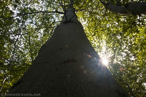
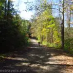
The trail enters the woods about mile 0.6. This is the official end of the Lake Bluff Trail and the official beginning of the Woods Trail. It’s a bit rougher walking than in the fields – more hills to hike and more roots to avoid. But it’s a relief to be out of the sun and into the shady forest.
I also found some possibly historical junk in the forest. I’m pretty sure it’s nothing special, but it was a fun find.
The trail winds for about 0.3 miles before a loop at the end. This is the end of the trail; please do not go on into the adjoining orchard. Retrace your steps back to the parking area.
We only walked about 1.6 miles between the three trails we traveled on, but it was a nice little easy trek for a Sunday afternoon. I also photographed at least 13 different types of wildflowers. On our way home, we stopped at Orbaker’s Farm Market for fresh peaches – the best!
Round Trip Trail Length: The Cass’s Meadow Trailhead to the end of the Woods Trail and back was 1.6 miles. You could tack on another half a mile by walking the rest of the Lake Bluff Trail and/or Throop Trail and back.
Elevation Gain: 149ft. (285ft. to 261ft.)
Facilities: None
Fees: None
Trail Notes: Don’t visit on a Wednesday, as the park is closed that day to allow the local farmers privacy while working in their orchards. Speaking of the orchards, they’re private property. Please respect the owners and stay in the preserve. Motorized vehicles, bicycles (oops!), camping, fires, swimming, firearms, and cutting plants/trees are all prohibited. Do not park in the cemetery. The area is owned by the Genesee Valley Land Trust.
Trail 


Road 


Signs 


Scenery 


Would I go 100 miles out of my way for this? 


Overall Rating: 


GPS Coordinates for the Cornwall Preserve
Trailhead (Cass Meadow Trail): 43.279680, -77.192157 (43°16.78080′, -077°11.52942’/ 43°16’46.8480″, -077°11’31.7652″) (286ft.) (0.0)
Throop Trail Junction: 43.282895, -77.191453 (43°16.97370′, -077°11.48718′ / 43°16’58.4220″, -077°11’29.2308″) (266ft.) (0.2)
Lake Bluff Trail Junction: 43.283993, -77.192282 (43°17.03958′, -077°11.53692′ / 43°17’02.3748″, -077°11’32.2152″) (279ft.) (0.35)
Lake Bluff Trail/Woods Trail Junction: 43.282457, -77.196176 (43°16.94742′, -077°11.77056′ / 43°16’56.8452″, -077°11’46.2336″) (281ft.) (0.5)
Approximate furthest point on the Woods Trail: 43.281990, -77.199949 (43°16.91940′, -077°11.99694′ / 43°16’55.1640″, -077°11’59.8164″) (269ft.) (0.8)
The gpx file for my hike in the Cornwall Preserve can be downloaded – please note that this and the GPS Coordinates are for reference only and should not be used as a sole resource when hiking this trail.
Download GPX File size: 7.8 KB Downloaded 287 times
(Note: I do my best to ensure that all downloads, the webpage, etc. are virus-free and accurate; however, I cannot be held responsible for any damage that might result, including but not limited to loss of data, damages to hardware, harm to users, from use of files, information, etc. from this website. Thanks!)
Getting to the Cornwall Preserve
From the town of Williamson on NY-104, turn north onto Lake Avenue. After 2.8 miles, turn left onto Hamilton Street. A half a mile later, turn left (again!) onto Lake Road. The Cornwall Preserve is a small parking area with a split-rail fence on the right after 0.3 miles.
If you’re coming from the east and don’t want to overshoot, I’d recommend taking Lake Road. It’s such a pretty drive. But if you want to come from NY-104, drive north on Fisher Road (about 6 miles east of the Monroe County/Wayne County line). Drive north 3.2 miles on Fisher Road until the road T’s into Lake Road. Turn right and drive 3.1 miles to the Cornwall Preserve, on the left, marked by a split-rail fence.
This Week’s Featured Product!
Easy hikes with varied scenery and environments can be found in this guide. 20+ hikes are detailed, from rails-to-trails to forested strolls to walks along the Genesee River. Buy your copy here!


