Most people who’ve been to Moab have been to Arches National Park, or have at least heard of it. Many more across the globe have seen pictures of the park’s famed Delicate Arch. However, few have seen, or even heard of, Corona Arch, a magnificent span of rock that really isn’t that far from Moab. And if you’ve forgotten your park pass (or just don’t want to have to pay the entrance fee), the hike to Corona is free. Of course, you don’t get the variety or quantity that you’d get at the National Park, but it’s still well worth the hike.
Directions:
From Moab, take US 191 until Utah Scenic Byway 279 T’s into it almost across the road from the entrance to Arches National Park. Turn left onto Utah Scenic Byway 279 and drive about 10 miles. You will see a sign for Corona Arch and soon after there will be a gravel parking lot on your right. This is the parking area for the Corona Arch hike. If you get to the “town” (factory) of Potash, and the paved road ends, you’ve gone too far.
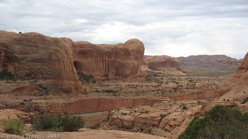
The hike starts from the right side of the parking lot and follows a steep, rocky path up the side of a hill. Then it crosses a set of railroad tracks, goes through a style in a barbwire fence, and joins an old road that snakes its way up the hillside.
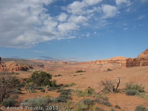
Keep going up, following the cairns (small piles of stones) along the old road and then over slick rock to the first safety cable. The safety cable is just pipes stuck into the rock with a cable through the top of each pipe. This can be useful when trying to climb steep slick rock slopes. Continue to follow the cairns across the slick rock to the second safety cable that goes up a steep slick rock slope with small steps cut into the rock. Not long after is the ladder, a little shaky, perhaps, but lots of fun anyway. From here you can see Corona Arch and, to the left, Bowtie arch.
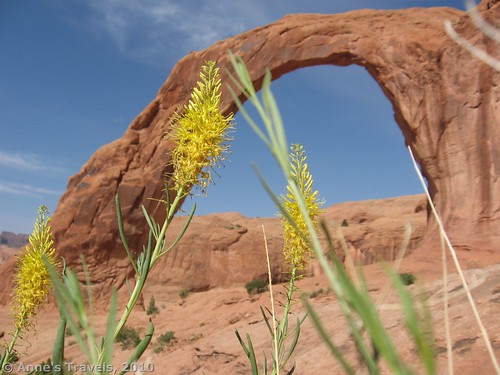
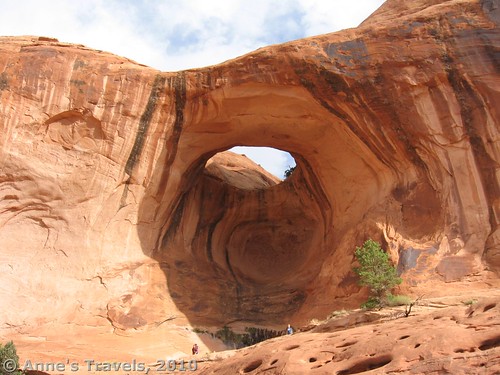
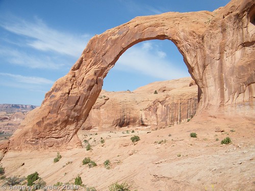
Go to Bowtie Arch first. Stand underneath it and look up through this “skylight”. It makes you feel so small to be standing under a hole in the rock that is so big. Then continue on to Corona Arch. You can walk right underneath it, and have a rest on the far side. I think that this arch looks like a cross between Broken Bow Arch (post coming soon!) and Delicate Arch. It is huge like Delicate, but stands out from a cliff wall like Broken Bow. I also found that the best pictures were from this far side. If there are several members in your group, have all but one person (with the camera) stand under the arch, while the camera person stands on the far side and takes a picture—it really puts the pictures into prospective. The arch’s opening is 140 by 105 feet, enough to dwarf anyone! Return by the way you came.
Round Trip Trail Length: 3 miles
Facilities: None except the parking area
Fees: None
Trail 


Road 


Signs 


Scenery 


Would I go 100 miles out of my way for this? 


Overall Rating: 


This Week’s Featured Prodcut!
Take to the areas of Moab outside of the national parks with this guide (which does cover a few trails in Canyonlands and Arches).

Pingback: Anne's Travels » Prettiest Scenic Drive I’ve Found in Utah
Pingback: 15 of the Best Day Hikes in Southern Utah - Anne's Travels
Pingback: A Taste Before the Fall - Anne's Travels