If you read my last post, you’ll know that we were in the middle of Death Valley, following routes instead of trails and having a marvelous time hiking off the beaten path. We were about to have even more excitement and to be surprised by the sheer beauty of an area we’ve intentionally overlooked for over 20 years.
When we were first discussing the possibility of a trip, I suggested Death Valley (when you have an entire website dedicated to hiking in the park, it’s usually top-of-mind). My companions asked what we could see that we hadn’t seen on our previous visits to the park. I talked about a number of things, but I mostly extolled the virtues of the area around the Racetrack. In the past, we’ve passed over the idea of taking the Racetrack Road. It requires 4×4, it’s long, it’s remote, and what is there to see at the end except some wimpy rocks that might or might not have moved at some point in the past? It just didn’t seem exciting or doable. However, I’ve been doing research (remember the website above?) Our van would be fine, I explained – the 4×4 rating is due to sharp rocks, not sand or gravel or rock steps that would stop us. We could see the famous Sailing Stones. Plus I had four entire other hikes that would be amazing – from what I’d found online, anyway. And so, we visited Death Valley with the intent of driving out to the Racetrack.
Death Valley: Operation Racetrack
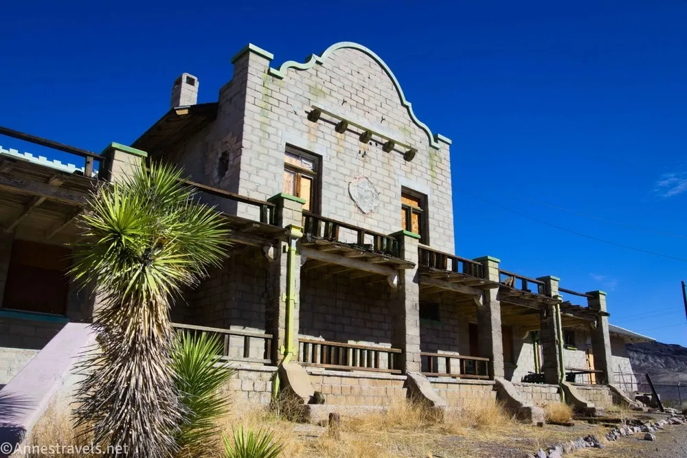
Before we could drive out to the Racetrack, we had to make sure we were prepared. We’d already stocked up on water at Furnace Creek Visitor Center, but we drove out to Beatty for gas and ice. I wanted to make sure that in case we decided to stay an extra few days, we wouldn’t be hampered by our lack of supplies. On our way back into the park, we stopped for a short visit to Rhyolite, one of the biggest towns in the area during the gold booms and now just a lot of dirt roads and crumbling buildings.
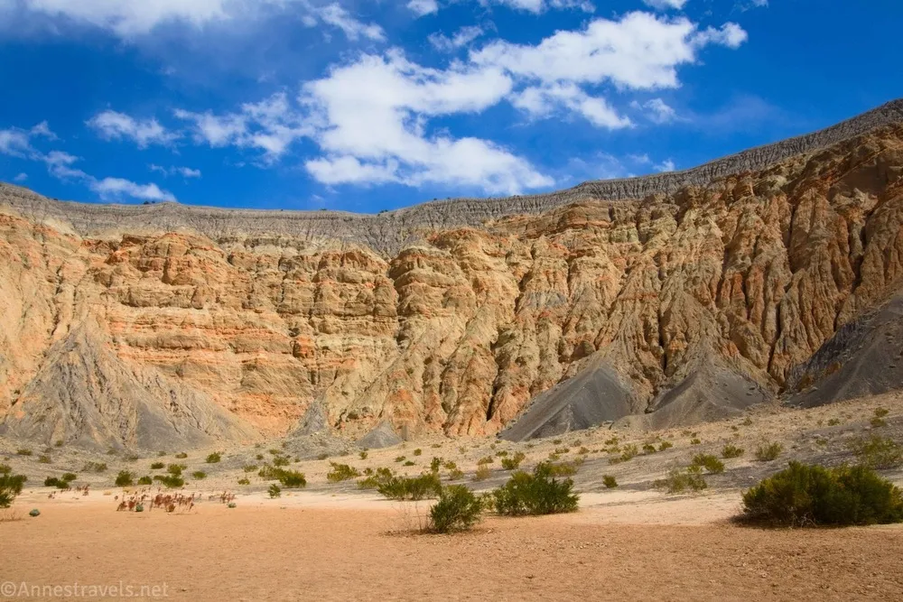
Then we drove out to the Ubehebe Crater (pronounced Yoo-bee-Hee-bee). The wind was strong enough to blow us off the rim of the cinder cone, but we still managed to walk around it and even all the way to the bottom of the crater!
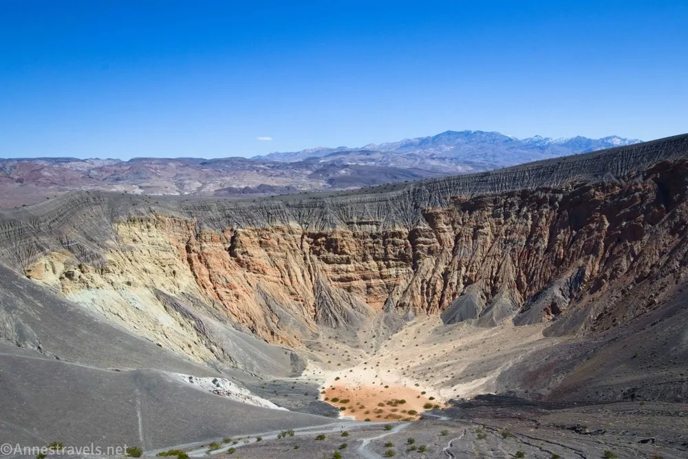
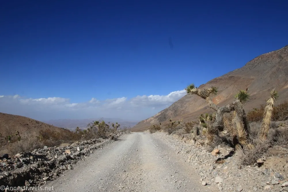
The Racetrack Road begins at the crater, so it was a great jump-off point for an afternoon of driving the dirt road. I found that the Racetrack Road was completely doable for 2WD. But they are right about the sharp rocks. We didn’t get a flat (yay!), but we helped out a guy who had a spare tire but no jack (honestly, remembering where we’d stashed said jack was the hard part… it turns out it was under my feet. Oops.). Going slow was one of the best things we could do. On top of the sharp rocks, there was some pretty crazy washboard (it was so bad beyond the Grandstand that we jolted our way down to the Homesake Dry Camp instead of driving!) But I loved driving through the Joshua Tree Forest!
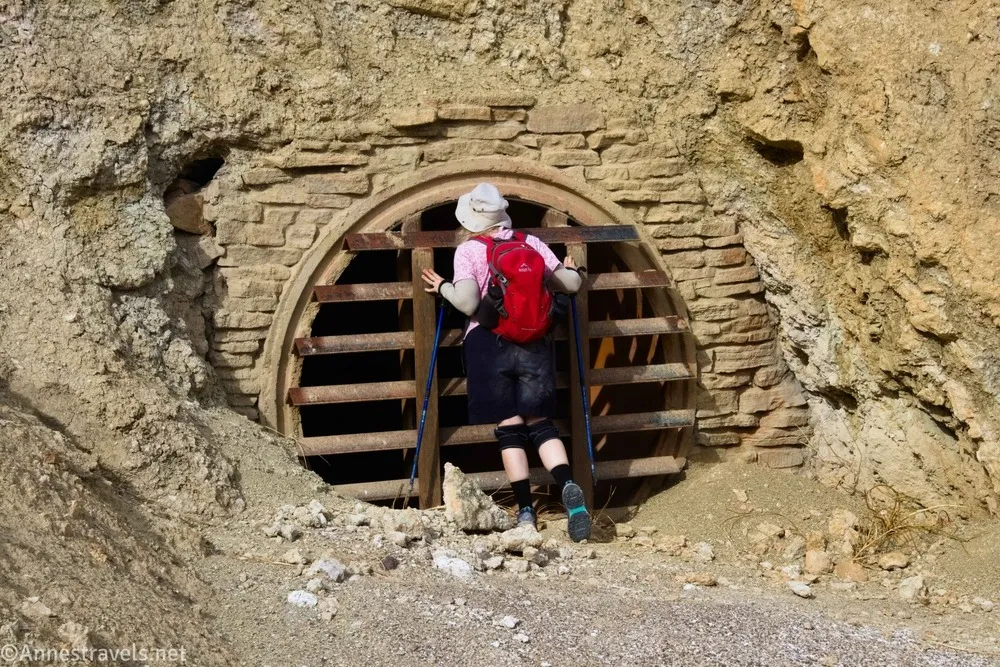
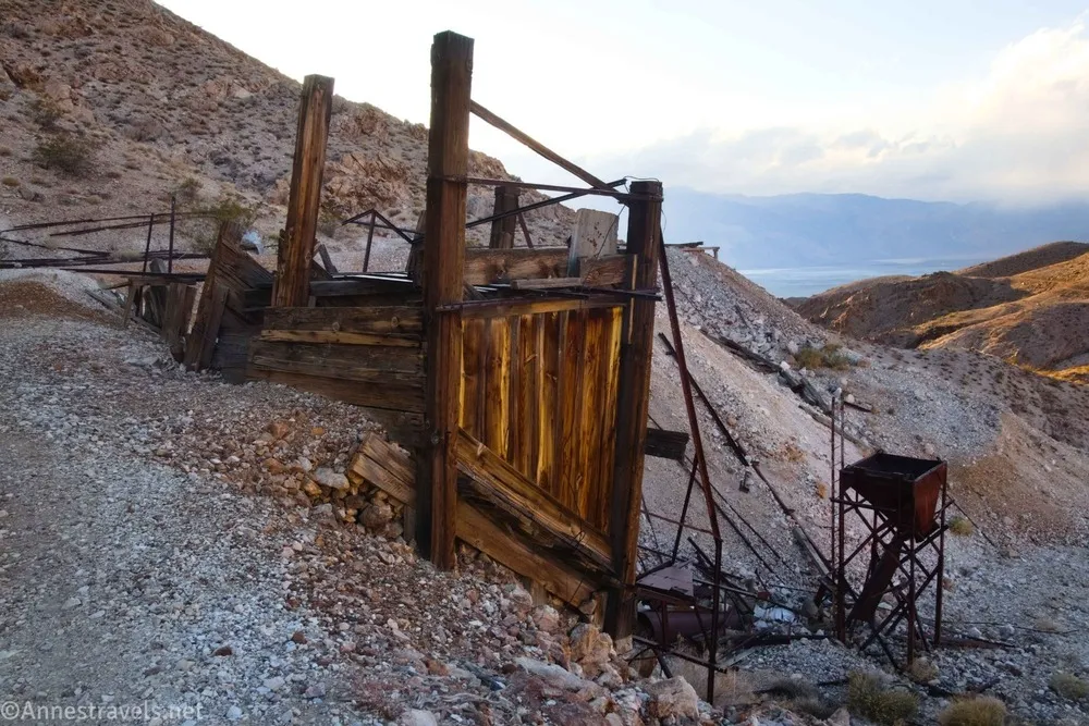
We parked at the Homesake Dry Camp and then headed up the continuation of the road to the Lippincott Mine (where we saw the sunset because… well, it was so fascinating that we didn’t quite get back before dark!)
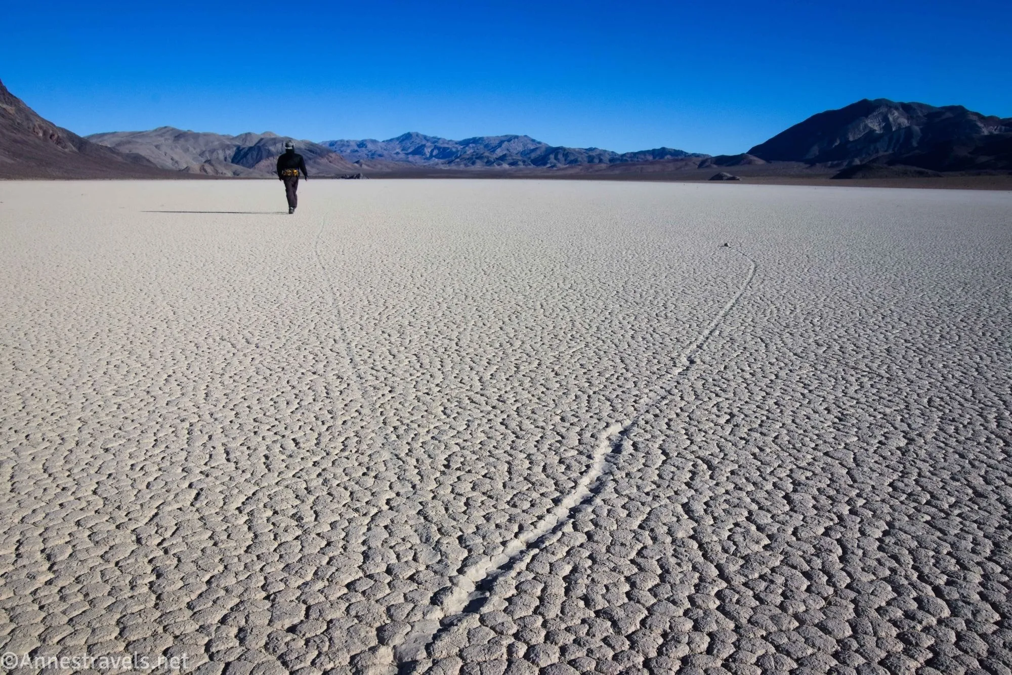
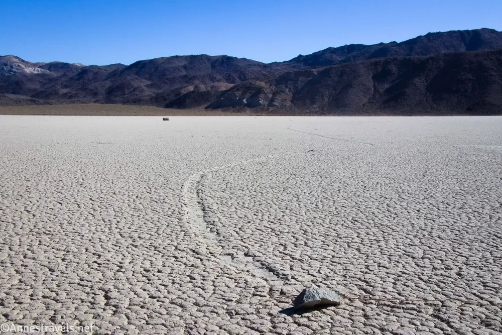
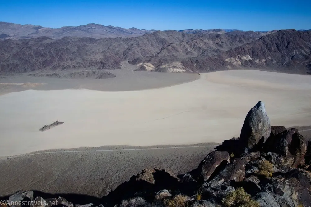
The next morning, we were up bright and early and ready to find the Sailing Stones. I’d heard that you have to explore to find the real Sailing Stones, so off we went across the playa (dry lakebed) of the Racetrack. It turned out to be a marvelous hike; I had an absolute blast following the rock trails and the Sailing Stones themselves were so neat! It was almost worth the road just to see this! (So much for my nay-saying and eloquence on how boring this would be!)
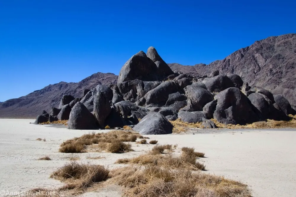
We spent about 2 hours at the Sailing Stones before continuing up the road and then walking out to the Grandstand on the other end of the Racetrack.
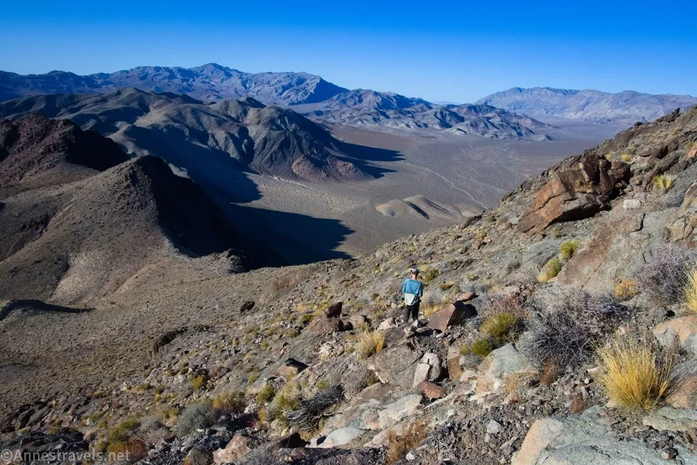
In the afternoon, we climbed Ubehebe Peak. Most of the route is on an old miner’s trail that was in remarkably good shape. And the views were stunning!
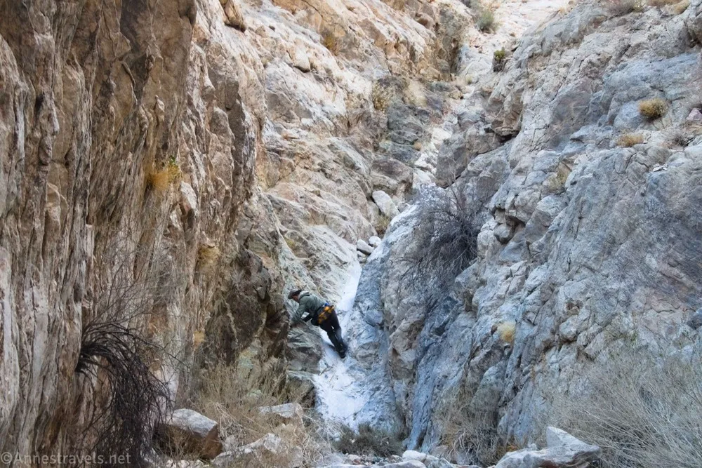
The next day, we were supposed to do a canyon hike. But I’d seen another canyon on the other side of the Racetrack that looked like it would be interesting. And part of my group really just wanted to wander around the Racetrack; it’s such a pretty area. So while they took their time and found more Sailing Stones, the rest of us went toward the unknown canyon. It turns out that it has been unofficially named Ubehebe Canyon and is only accessible for repelling downcanyon with ropes. I didn’t know any of that. So we scrambled up 49 dryfalls and 5 chokestones, 22 of which required Class 3 or Class 4 scrambling – I had our climbing rope in my pack but never got it out.
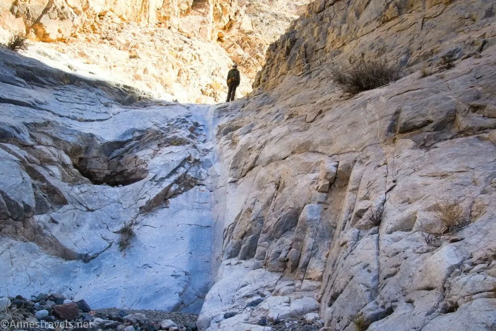
At the top of the canyon, what should we find but the Lost Burro Mine!
And yes, we scrambled down all 49+5 of those dryfalls and chokestones, plus about another 10 or so dryfalls in the upper part of the canyon. If I was naming such things, I’d call it 49 Dryfall Canyon… and in case your curious, it’s accessible from the bottom or the top without ropes as long as you don’t mind a bit of scrambling!
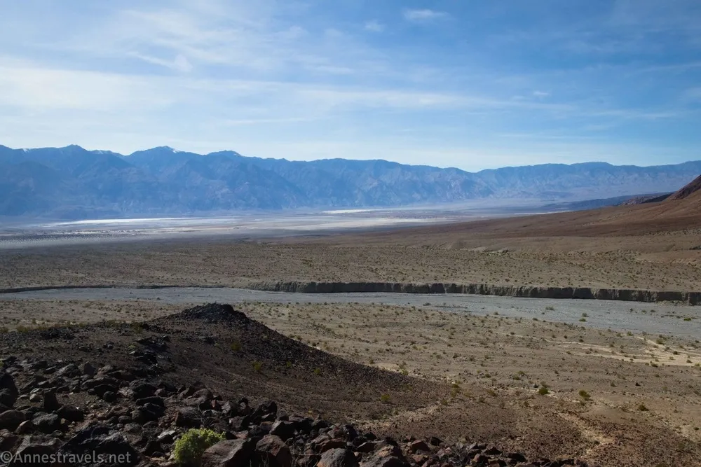
Our final day at the Racetrack was a long one, but it was so worth it! We hiked down past the Ubehebe Lead Mine…
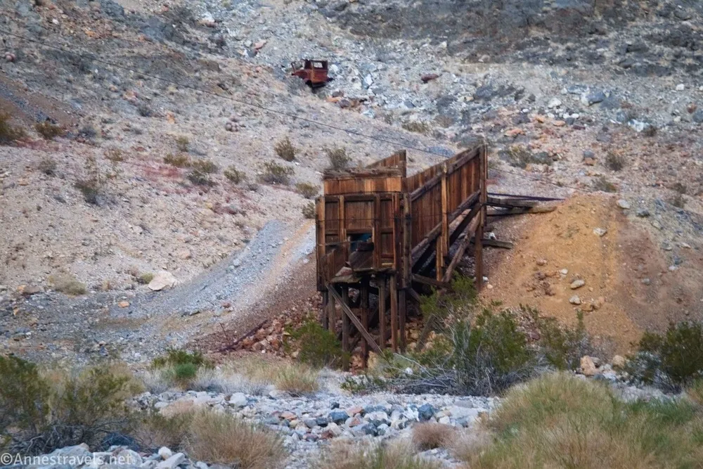
…and into Corridor Canyon. The Corridor is a mile-long, almost straight section of the canyon that was actually quite neat to see.
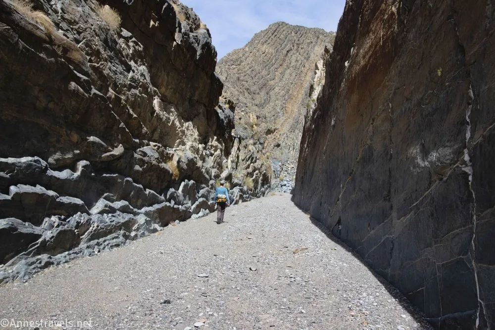
Some of us decided that it would be fun to hike all of the way down to the Saline Valley via the canyon. It was quite a trek and included a nasty bypass around a dryfall, but we did it without using the climbing rope – and it was less than 18 miles RT!
Death Valley: The Black Mountains
We drove out from the Racetrack, picked up enough cell signal to figure out next steps, and went to hike the South Fork of Desolation Canyon. Unfortunately for us, the weather had taken a turn toward the hot side. We just about fried – a first on this trip which had mostly had comfortable temperatures. Thankfully, there was enough shade to hide out for an hour or two until the heat broke a little.
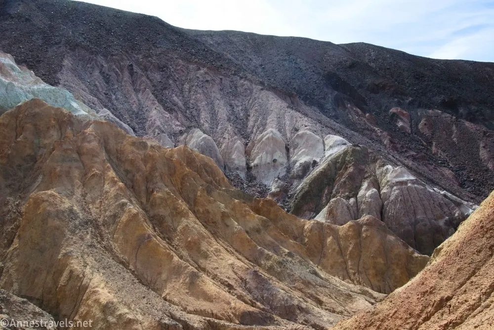
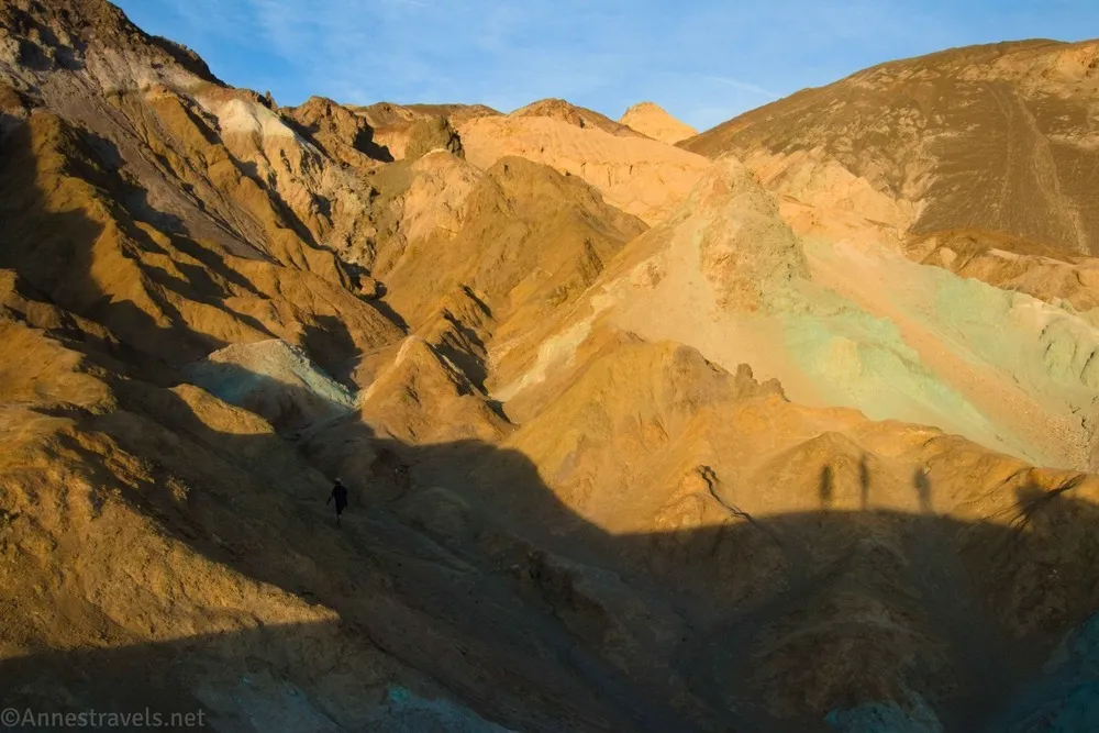
For sunset, we drove down to Artist Drive. Our first stop was the unofficial Artist Hill.
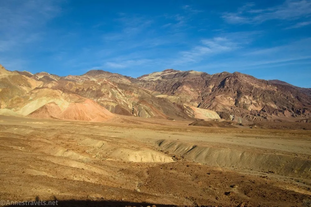
Then we watched the sunset from Artist Palette. Talk about a hike that is much prettier in the evening than at noon!
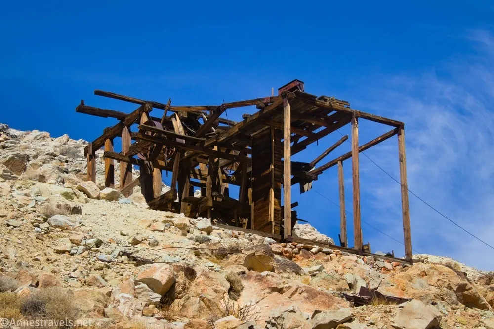
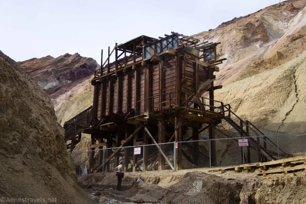
Back in 2020, we tried to hike to Corkscrew Canyon, but at the time, it was caught up in a legal struggle with the NPS about visitor use on private land. The owners had all kinds of no trespassing signs, etc., at the time, so we were foiled from doing more than getting close. The NPS was finally able to get ownership (I expect they either paid for the property or did a land transfer – I haven’t looked it up), so it was once again open to the public. It seemed a pity not to visit and see the old mine workings!
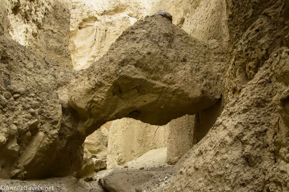
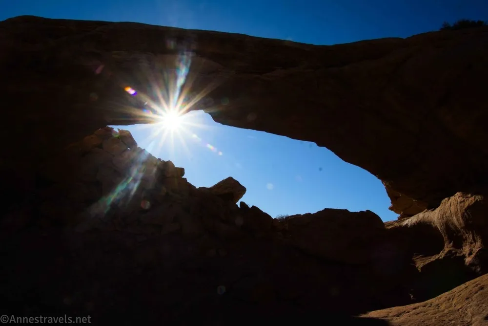
We tried every slot we could before finally finding the right one, just downstream from the mine area. But it was worth finding and even included a cool natural bridge!
Grand Canyon National Park
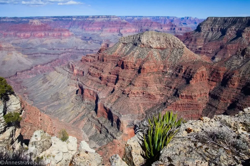
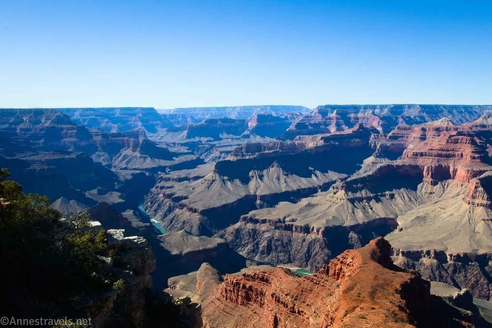
Hoping for a bit of cooler weather (80F was bad enough, and 90F isn’t my cup of tea under almost any hiking circumstance), we headed over to Grand Canyon National Park. Some of you may remember that I had a wonderful time wayfinding out to Jicarilla Point a couple of years ago. I was pretty sure that nothing could beat those views, but we decided to go out to Piute Point and then make our way along the canyon rim to Jicarilla Point. Well, I was wrong: Piute Point was even better than Jicarilla Point in terms of views!
The next day, we braved the madhouse of Grand Canyon Village (actually, it could have been a lot worse) and hiked the Rim Trail along the Hermit’s Rest Road. What a beautiful adventure!
Canyonlands National Park
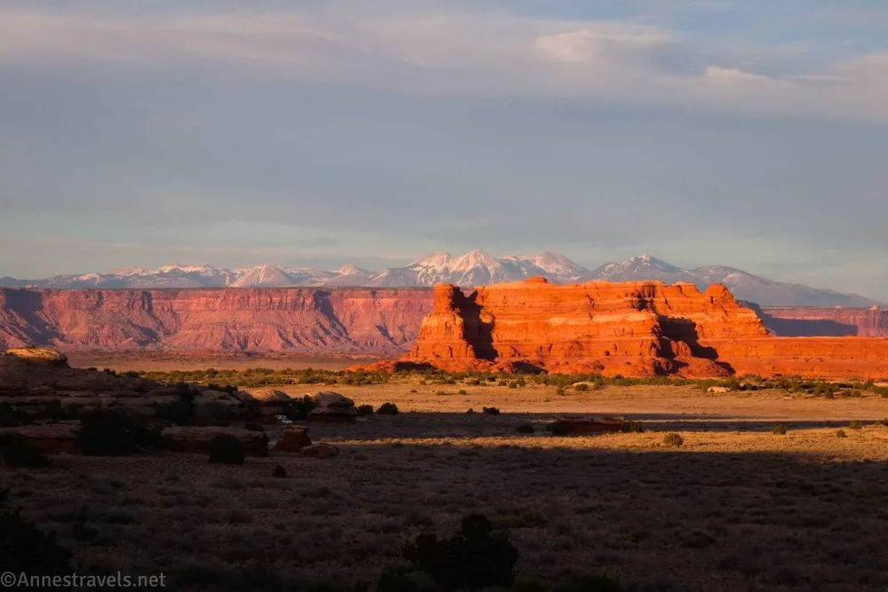
Canyonlands was on our way home (always… lol) so we headed up into the Needles District. Our first stop was at Newspaper Rock.

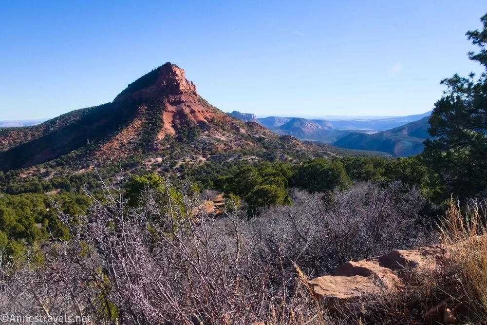
My plan was to stop at the Upper Salt Creek Trailhead and hike to Wedding Ring Arch and then continue on the road to the Beef Basin area (which is technically in Bear Ears National Monument). Well, the arch worked out except for being a much harder hike than I expected.
But when we went to drive toward Beef Basin, the road wound through the mountains… which were still snowy. And the snow was melting and creating puddles, which in turn made the road into one long mudhole. Another trip, maybe we’ll get back there!
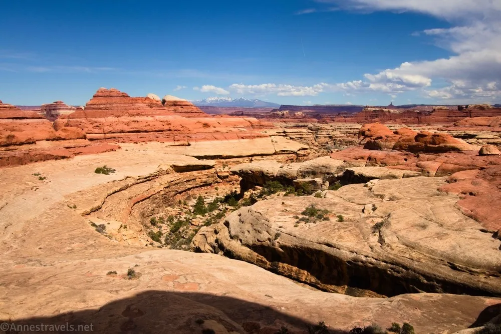
So what to do? Go into the Needles District proper and hike the Wooden Shoe Canyon/Big Spring Canyon Loop, of course! I’d heard great things about it, but usually I get distracted by the Peek-a-boo Trail on the way. It was a very scenic hike (especially scenic considering you’re mostly in canyons). I did take a quick side-trek up to look down into Lost Canyon.
Then we finished out the loop on the Big Spring Canyon Trail.
By that time, the weather was just too hot to want to do much else in the area, so we headed for home. But it had been a really great trip!
The Premier Trail Guide to Death Valley
On my various social media groups, if someone has a question about a far-flung hike in Death Valley, the first response is almost always, “Have you check out Digonnet’s Book?” It truly offers a wealth of knowledge on both well-known and off-the-beaten-path destinations that are sure to bring you a fun adventure or two. Buy your copy here!