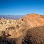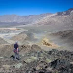
If I were to be honest (and I try to be!), I like Desolation Canyon better than Golden Canyon in Death Valley National Park. There’s nothing wrong with Golden Canyon per se; I’ve hiked it several times. But Desolation Canyon has more colors in its walls, more excitement in its rise into the area just north of Artists Palette, and fewer people – much fewer people. On a sunny afternoon in November, Golden Canyon’s trailhead was packed full, while there were only two other vehicles at the trailhead for Desolation Canyon. So if you’re looking for bragging rights or an easy stroll, go for Golden, but otherwise, Desolation Canyon is a great little adventure with a fantastic view at the end!
Quick Stats
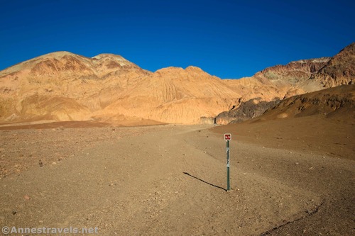
The trail begins by walking up the Desolation Canyon Wash. It’s not hard to find; I hear the access road used to continue up the canyon for quite a distance. The wash is wide and yellow at this point. (Note: Another canyon goes off to the right (south) of the parking area – this is South Desolation Canyon and is a worthy exploration of its own, even though it has no trail. I’ll talk about South Desolation Canyon in another post, but for now, you can click here to see a photo and get some (possibly suspect, and I say that with humor since I wrote it) information here.)
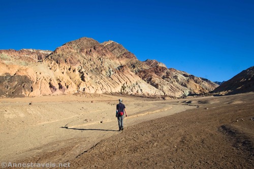
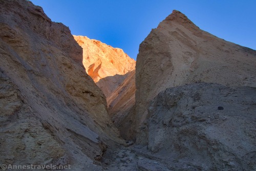
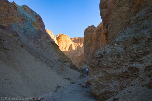
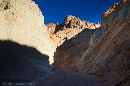
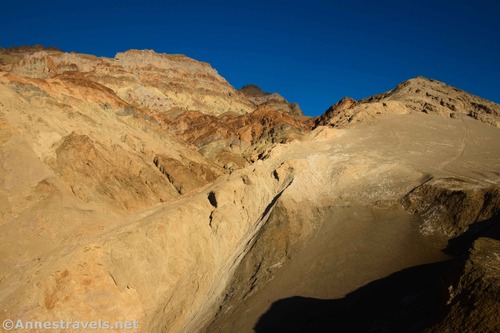
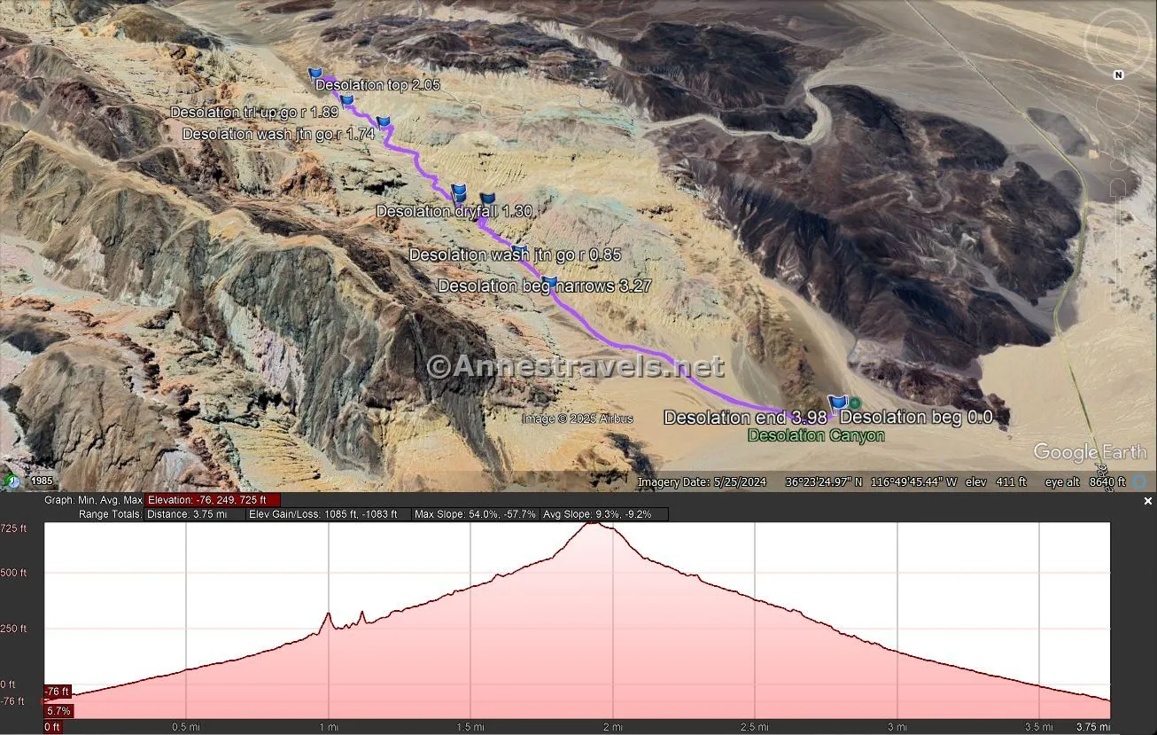
After about 0.7 miles, the canyon walls begin to close in. The width varies from here on out, and while it’s often narrow, it’s rarely anxiety–inducing (unless you really, really hate tight spaces and probably don’t even like grocery store aisles). Occasionally, the yellow–white–gray walls have streaks of other colors, especially green (copper) like you might see in Artists Palette. At a wash junction at mile 0.8, go right.
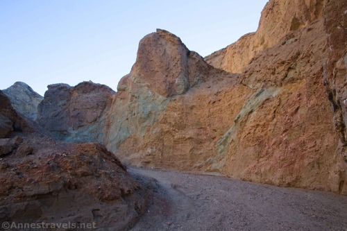
There are two major dryfalls along the length of Desolation Canyon (at approximately mile 1.2 and mile 1.3). These are all fun little scrambles and only about 4ft. high; the worst was a mild Class 3. However, the rocks can be slippery due to previous hikers’ feet and gravel on the smooth rock, and there are a few shorter dryfalls that are easily scrambled. Between the two dryfalls is another wash junction about mile 1.25 – go right.

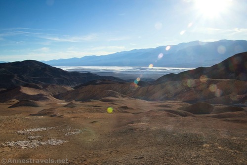
After 1.75 miles, the trail suddenly turns right up a side–canyon – you can continue straight here, but I believe you’ll fairly quickly end up at a large and likely impassible dryfall. Follow the trail/side canyon steeply upward – before you know it, you’ll be on top of the canyon looking down on the Artist Palette Road and – in the other direction – down on Death Valley toward Furnace Creek.
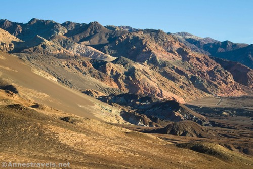
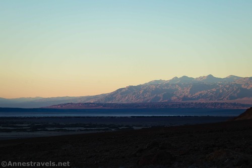
The views up here are excellent. They were especially good late in the afternoon in the winter.
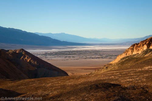
When you’ve had your fill of views (or you start worrying about getting back before dark), descend the trail back into Desolation Canyon and retrace your steps to the trailhead. The colors in the canyon are definitely better when you can see them (aka, not just before dark), but those golden hour rays are gorgeous when they can penetrate the canyon!
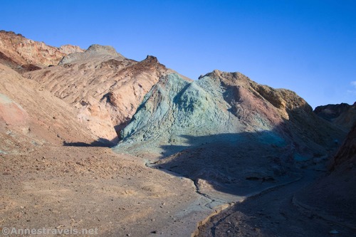
Round Trip Trail Length: I went 4.0 miles
Elevation Gain: 1,085ft. (-76ft. to 725ft.)
Facilities: None
Fees: $30/vehicle, valid 7 days. America the Beautiful National Parks & Federal Lands Passes and Death Valley Annual Passes are accepted.
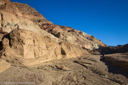
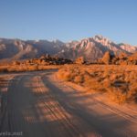
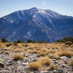
Trail Notes: A slight amount of scrambling is required – I’d guess this is part of what keeps most people from doing this vs. Golden Canyon (that and Golden Canyon has had more camera crews and influencers wander through it in recent years). The views from the top are great of the yellow cliffs above Desolation Canyon, the hills surrounding Artist Palette, down on the area just north of Badwater Basin, and up Death Valley toward Furnace Creek. Chances are that the views are better in the afternoon/evening than the morning, though then the views would be better toward the Panamint Mountains (which would be amazing, too).
Trail 


Road 


Signs 


Scenery 


Would I go 100 miles out of my way for this? 


Overall Rating: 


GPS Coordinates for Desolation Canyon
TH: 36.3959000°, -116.8385280° (36°23.75400′, -116°50.31168′ / 36°23’45.2400″, -116°50’18.7008″) (-53ft.) (0.0)
Wash junction; go right: 36.3902890°, -116.8269740° (36°23.41734′, -116°49.61844′ / 36°23’25.0404″, -116°49’37.1064″) (198ft.) (0.85)
Dryfall: 36.3882020°, -116.8256130° (36°23.29212′, -116°49.53678′ / 36°23’17.5272″, -116°49’32.2068″) (370ft.) (1.17)
Junction; go right: 36.3880960°, -116.8244090° (36°23.28576′, -116°49.46454′ / 36°23’17.1456″, -116°49’27.8724″) (330ft.) (1.27)
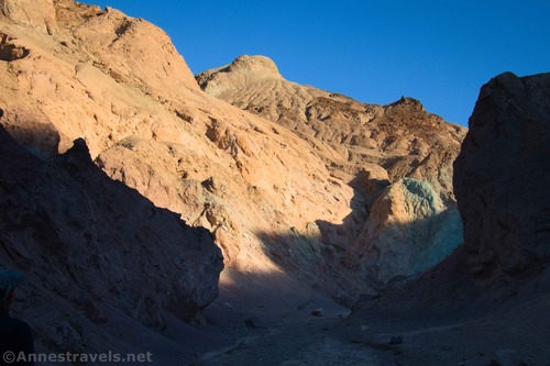
Dryfall: 36.3877630°, -116.8243800° (36°23.26578′, -116°49.46280′ / 36°23’15.9468″, -116°49’27.7680″) (353ft.) (1.30)
Wash junction; go right: 36.3846030°, -116.8208600° (36°23.07618′, -116°49.25160′ / 36°23’04.5708″, -116°49’15.0960″) (512ft.) (1.74)
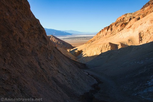
Trail up; go right: 36.3835810°, -116.8191130° (36°23.01486′, -116°49.14678′ / 36°23’00.8916″, -116°49’08.8068″) (593ft.) (1.89)
Top (viewpoint): 36.3824400°, -116.8175610° (36°22.94640′, -116°49.05366′ / 36°22’56.7840″, -116°49’03.2196″) (738ft.) (2.05)
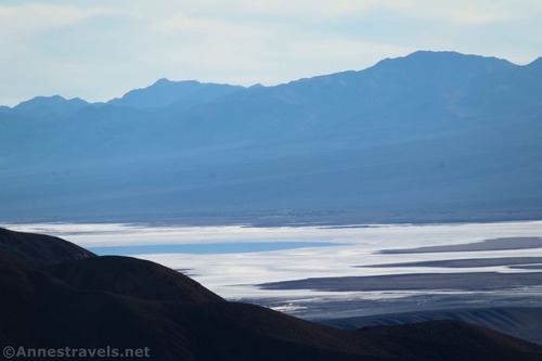
Begin narrows (end narrows on way down): 36.3915340°, -116.8281680° (36°23.49204′, -116°49.69008′ / 36°23’29.5224″, -116°49’41.4048″) (140ft.) (3.27)
End: 36.3958960°, -116.8384610° (36°23.75376′, -116°50.30766′ / 36°23’45.2256″, -116°50’18.4596″) (-51ft.) (3.98)
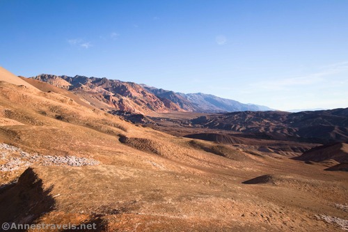
The gpx file for Desolation Canyon can be downloaded – please note that this and the GPS Coordinates are for reference only and should not be used as a sole resource when hiking this trail.
Download GPX File size: 63.2 KB Downloaded 36 times
(Note: I do my best to ensure that all downloads, the webpage, etc. are virus-free and accurate; however, I cannot be held responsible for any damage that might result, including but not limited to loss of data, damages to hardware, harm to users, from use of files, information, etc. from this website. Thanks!)
Getting to the Desolation Canyon Trailhead
From Furnace Creek, take CA-190E (toward Las Vegas) for 1.3 miles. Turn right on the Badwater Road for 3.7 miles. A gravel road will be on the left (it should be signed for Desolation Canyon); turn left up this for 0.5 miles. The trailhead is at the end of this 2WD-friendly gravel road.
If you’re coming from Las Vegas or CA-127, take CA-190 West for 28.9 miles from Death Valley Junction (near the Amargosa Opera House). Turn left onto the Badwater Road for 3.7 miles. A gravel road will be on the left (it should be signed for Desolation Canyon); turn left up this for 0.5 miles. The trailhead is at the end of this 2WD-friendly gravel road.
From the south, drive north on the Badwater Road. The right turn into the gravel road is 1.1 miles north of the exit to Artist Drive (4.9 miles north of the entrance to Artist Drive).
More Hikes in Death Valley
Fifty-seven hikes in this book showcase some of the best scenery and history Death Valley has to offer. With maps, photos, and more, it’s a great resource for planning your visit. Buy your copy here!


