Last week, a group member and I were talking about “epic hikes” we’ve taken over the years. He mentioned Devil’s Garden in Arches, and we were both shocked when I realized I’d never posted about it. Really, if you’re into arches, it’s one of the best hikes around. Seriously. It doesn’t get better than this for arch junkies – or those who like Utah rock formations, for that matter.
Quick Stats
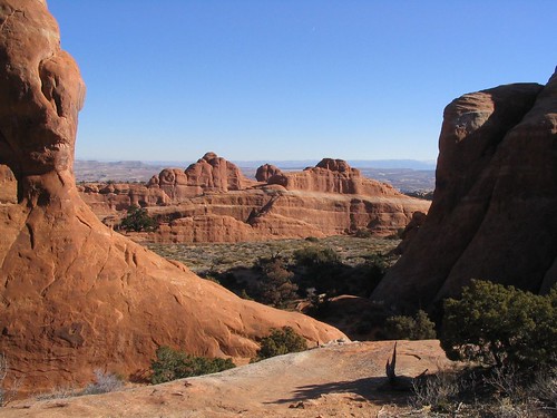
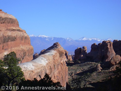
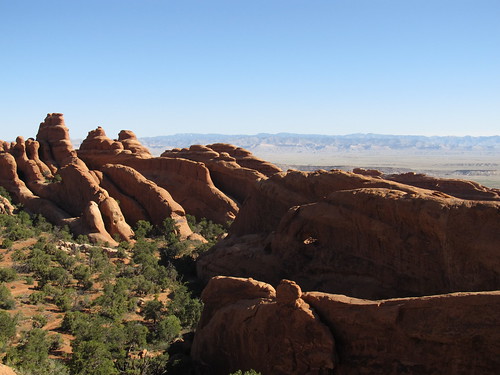
Because not only are there at least 7 arches along this hike, there are also sandstone fins and balancing rocks, all in classic Utah red and yellow. And you get to walk right through the middle of it all!
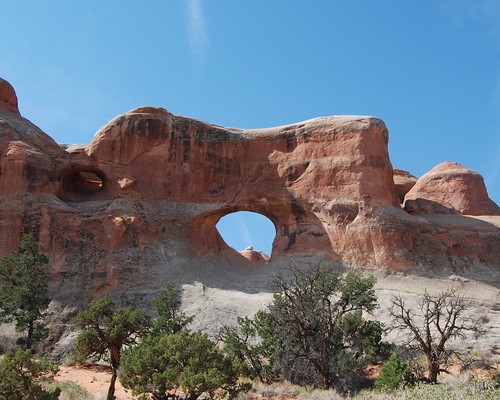
From the Devil’s Garden Parking Area (which gets pretty crowded on spring and fall weekends, not to mention the summer months), the gravel trail winds 0.25 miles before it passes a short side trail to Tunnel Arch…
and Pine Tree Arch.
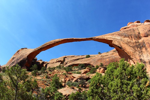
The well-maintained (and very crowded) trail then continues another 0.75 miles to perhaps the second-most-known arch in Arches National Park: Landscape Arch. They keep moving the viewing area further and further away from the arch proper, but you can still see and enjoy the tremendous span – it’s amazing it still hangs in there with nothing but gravity holding it up!
Here’s where things get interesting. Most of the (multiple) times I’ve hiked the trail, it went by Wall Arch, which looked like this:
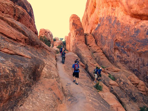
But in 2008, Wall Arch collapsed, so you’ll just have to miss out on that one. So you can choose to take the “primitive loop” (back 0.1 miles from Landscape Arch) or to take the main trail. Personally, I’d recommend taking the main trail (technically strenuous compared to the gravel path to Landscape Arch, but really not that bad), then, if you want, you can take the primitive loop back.
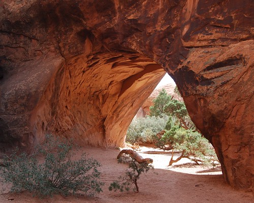
At 1.2 miles, you can take the side trail over to Navajo Arch…
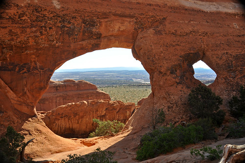
and Partition Arch.
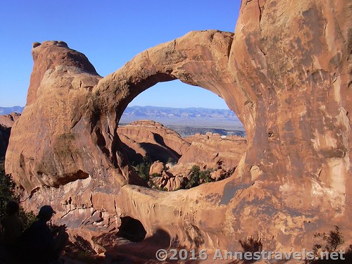
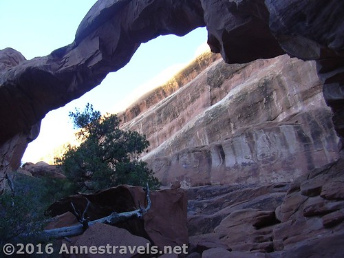
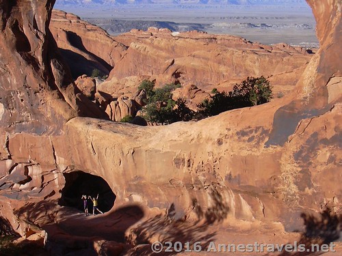
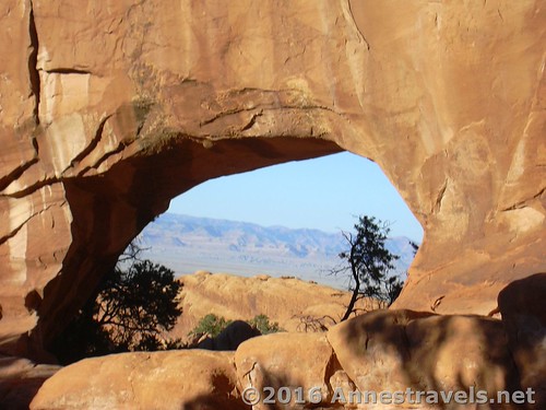
Keep walking another 0.75 miles to my personal favorite arch in Devil’s Garden: Double O Arch. Make sure to walk through the arch and scramble up the other side a bit to really get a good view of the arch.
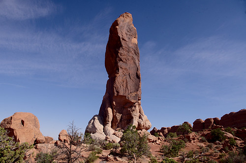
From here, it’s possible to walk another 0.5 miles to the Dark Angel. Personally speaking, I found it a letdown. Just a big tower of rock that was (naturally) stained black and might, possibly, if you looked at it with your eyes half closed at a 45 degree angle, look like an angel. But hey, whatever.
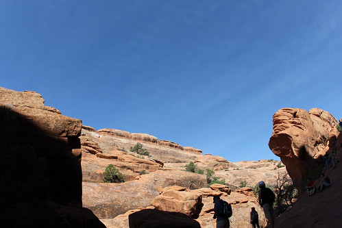
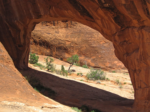
If you’d like, you can go back via the Primitive Loop– 2 miles and really not that primitive – and see Private Arch (on a 0.2 mile spur 0.4 miles from where the Primitive Trail meets the main trail) as well as a wilder, rock-fin side to Arches National Park. The trail is considered strenuous and isn’t as well maintained as the other trails in Devil’s Garden.
Return to Landscape Arch, then take the trail back to the parking area. “So, how many arches did you see today…?”
Round Trip Trail Length: 7.2 miles if you see all the arches and take the primitive loop
Elevation change: About 400ft.
Facilities: Restrooms at the trailhead
Fees: $25 to enter Arches National Park, valid 7 days. America the Beautiful (Interagency), Senior (Golden Age), Access (Golden Access), Volunteer, Military, and Southeast Utah Parks Annual Passes also accepted
Notes: The primitive trail really isn’t that primitive. If you’re ok following cairns and occasionally hiking across slickrock, you’ll have no trouble at all. Also, this is an extremely popular trail in general – it’s highly unlikely that you’ll have it to yourself, although the crowds do thin some the further you get from the trailhead.
Trail 


Road 


Signs 


Scenery 


Would I go 100 miles out of my way for this? 


Overall Rating: 


Getting to the Devil’s Garden Trailhead
From Moab, UT, drive north on US-191 N. About 5 miles north of Moab, and not long after crossing the Colorado River, turn right onto the entrance road for Arches National Park. Proceed through the entrance station, pass the visitor center, and continue up the road 18.4 miles to the Devil’s Garden Parking Area, at the end of the road.
Zoom map out to browse nearby hikes & places of interest
This Week’s Featured Product!
Looking for even more great hikes around Moab and Arches National Park? This book covers some of the best, including Corona Arch, another of my favorite trails in the Moab area.
*
“Devil’s Garden Trail, Arches National Park, Moab, Utah” by Ken Lund is licensed under CC BY-SA 2.0.
“Devils Garden Trail Between Landscape Arch and Double O Arch, Arches National Park, Moab, Utah” by Ken Lund is licensed under CC BY-SA 2.0.
“Tunnel Arch” by jemartin03 is licensed under CC BY-ND 2.0.
“Pine Tree Arch (Arches National Park, eastern Utah, USA)” by James St. John is licensed under CC BY 2.0.
“Landscape Arch, Arches National Park” by David Fulmer is licensed under CC BY 2.0.
“Wall Arch collapsed” by David Fulmer is licensed under CC BY 2.0.
“Navajo Arch” by jemartin03 is licensed under CC BY-ND 2.0.
“Partition Arch (Arches National Park, eastern Utah, USA)” by James St. John is licensed under CC BY 2.0.
“Dark Angel” by Rob Glover is licensed under CC BY-SA 2.0.
“Private Arch (Arches National Park, eastern Utah, USA)” by James St. John is licensed under CC BY 2.0.
“Devils Garden Trail, Arches national park, Moab Utah” by Ken Lund is licensed under CC BY-SA 2.0.
“Devils Garden Trail, Arches national park, Moab Utah” by Ken Lund is licensed under CC BY-SA 2.0.




Pingback: 15 of the Best Day Hikes in Southern Utah - Anne's Travels
Pingback: Epic Day Hiking Road Trip to Southern Utah - Anne's Travels