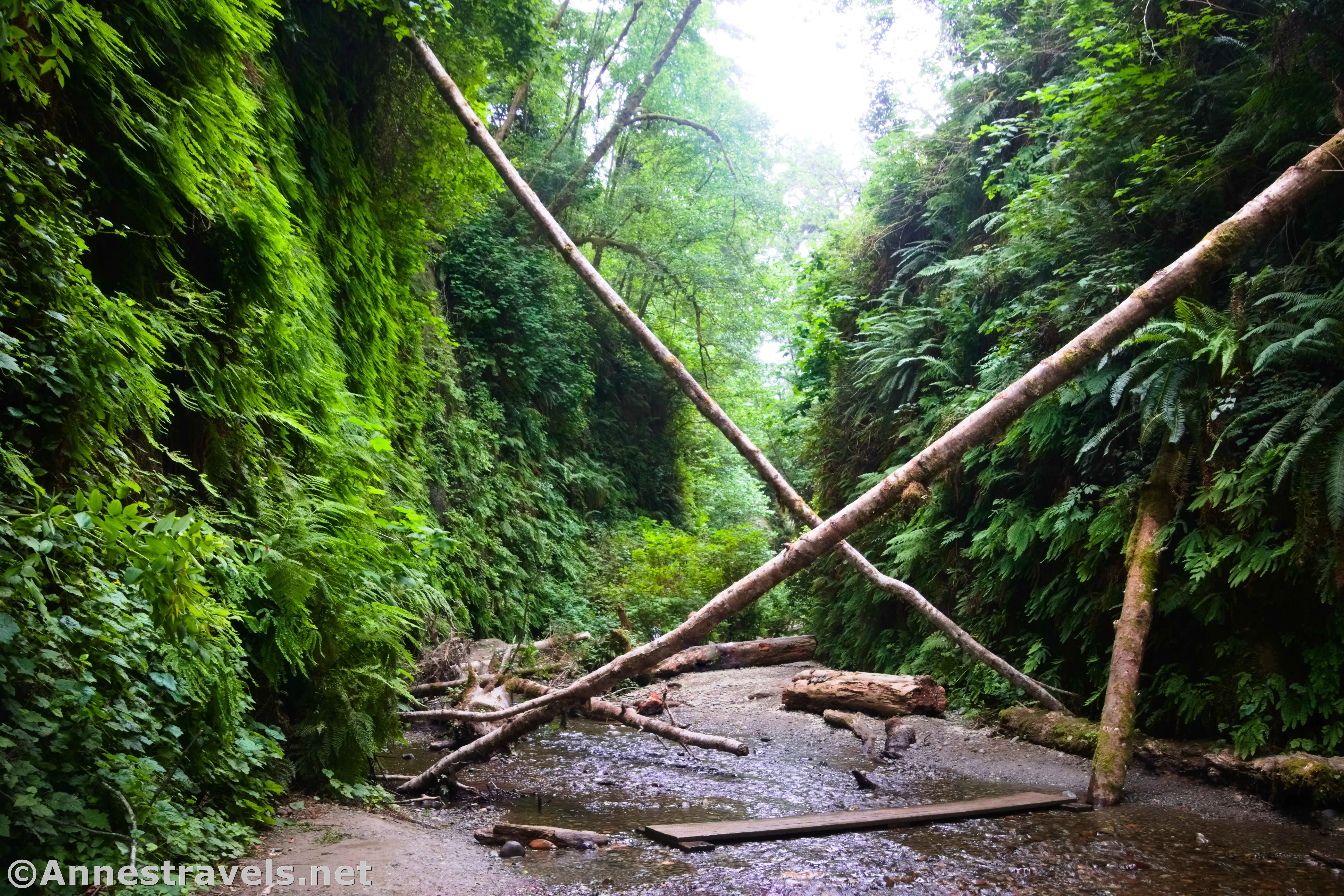
In Prairie Creek Redwoods State Park, there is a very famous trail known as Fern Canyon. It’s so popular, in fact, that you need a permit to park in the parking area May 15-September 15. It’s worth it: Fern-covered walls, mossy trees, a picturesque creek, and a lovely green ambience (not to mention more than a few redwoods along the return trail) make this a true gem. If you can’t get a permit, there are still ways to visit – which I’ll talk about below. It’s the best trail I’ve found in the combined Redwood National Park-Prairie Creek Redwoods State Park and so fun, even if it was too crowded for my liking about 11am on a summer weekday morning.
Quick Stats
I wasn’t exactly on top of everything, and I didn’t even know about the permit system until the day before we arrived (the last time I’d researched it was c.2017, before the permit system was in place). Not surprisingly, the tickets were all booked up (you can see availability and book your reservations here). I read about the James Irvine Trail, a 10 mile RT hike from the Prairie Creek Redwoods Visitor Center, which would take you to the canyon without needing a permit. However, a long hike through a forest wasn’t exactly the way I wanted to spend a day in California. Instead, we hiked in via the Ossagon Trail, strolled along the beach beside the Pacific Ocean (and saw seals!), hiked up Fern Canyon, and then returned via the Coastal Trail (some would call it the Davison Trail) weaving between the forest and pleasant seaside meadows (who knew that such things existed here?). That ended up being a 14.75 mile day (including visiting the nearby sea stacks), but most of it was flat, and it was worth every step for the multitude of varied views, redwood forests, waterfalls, and more. However, in this post, I’d like to focus just on Fern Canyon (and I’ll cover the loop in another post).
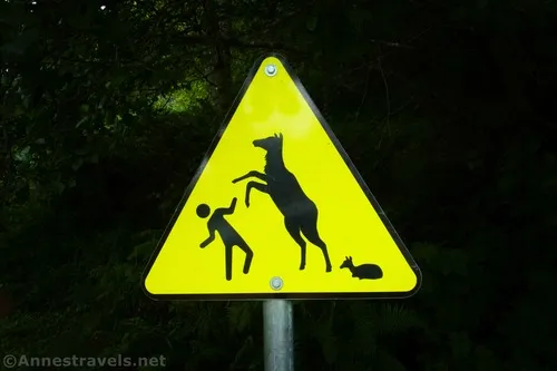
The trail to Fern Canyon begins at the far end of the Gold Bluffs Beach parking area (to the right if you’re facing the ocean). You’re greeted by a sign kiosk, a post with a sign saying that hikers and bikers are welcome but dogs are not, a sign saying that Fern Canyon is 0.1 miles ahead and also that dogs are not allowed, a yellow triangular sign telling you to be careful of elk, and an informational sign that I didn’t bother to read, so I can’t tell you what it said.
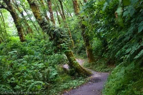
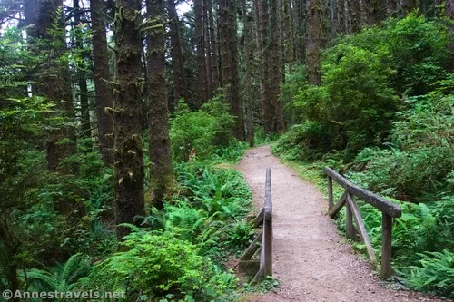
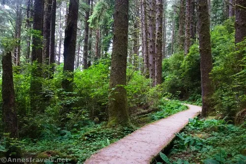
The wide gravel path skirts the trees for a short distance before entering the rain forest. Here the path narrows a little, but it’s still easy to walk.
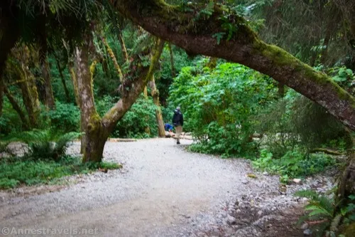
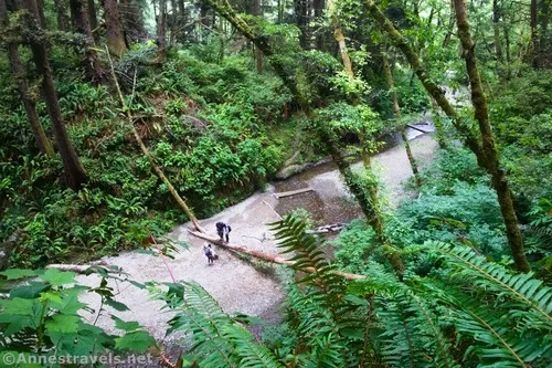
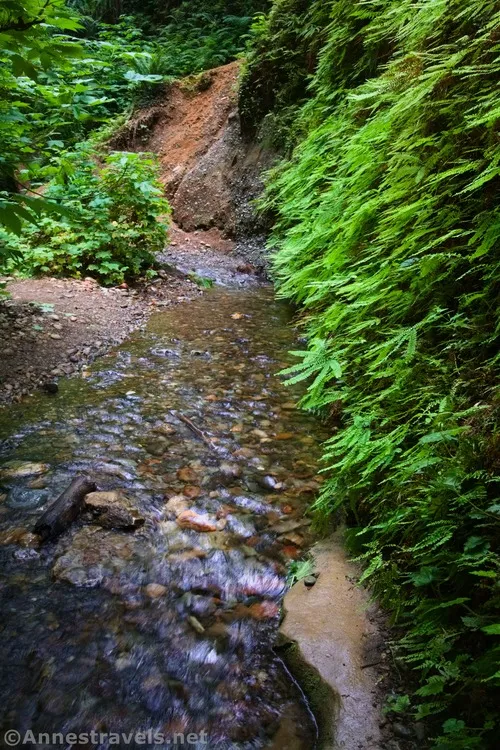
About 0.2 miles (so much for the 0.1 on the sign!) beyond the trailhead, the trail will cross a creek in a gravelly section of forest floor. Turn right up the gravel streambed (at times of normal flow, you won’t get your feet wet on this hike despite the multiple river crossings); don’t cross the stream yet. About 0.05 miles later, you’ll see a sign on the left that marks the return trail (which climbs the hill). Continue right up the streambed.
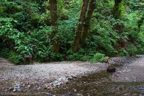
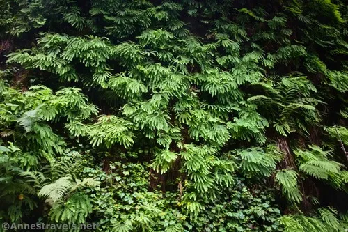
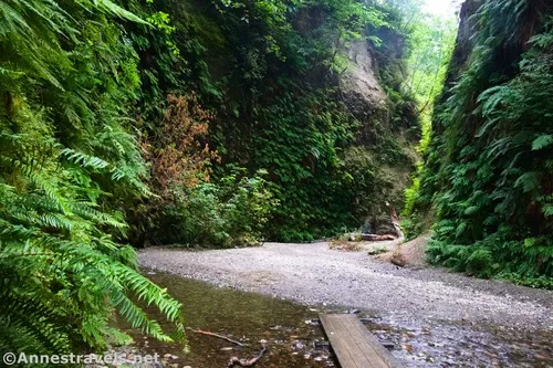
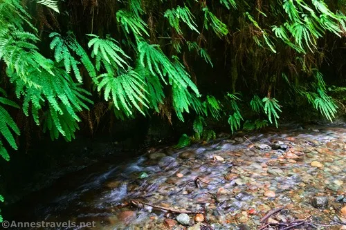
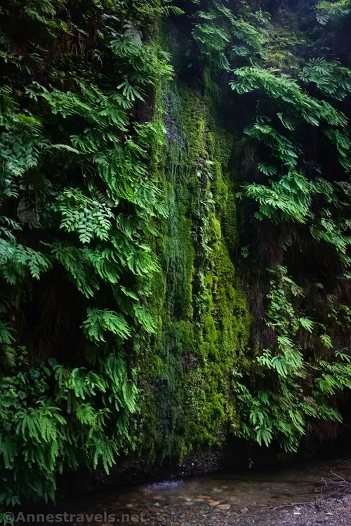
This is where you enter Fern Canyon proper. And what an adventure it is! The walls of the ravine are covered with ferns, moss, and all kinds of foliage.
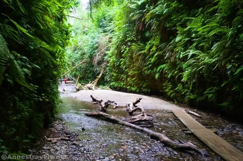
Meanwhile, there are often mossy (or not so mossy) logs in the streambed.
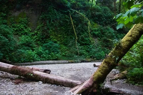
The park staff has put down bridges (I hear they’re removed in the winter, so you might want to be prepared for very chilly river crossings) at most of the required creek crossings. This kept my feet nice and dry. There were a few places where I had to walk on a log, scramble over a log, or jump across the stream – agility was a plus if not truly required.
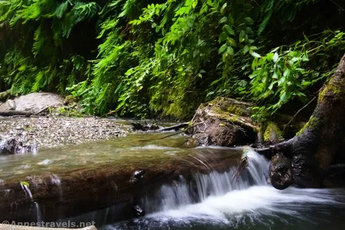
I even found a pretty little waterfall where a log had blocked up the stream.
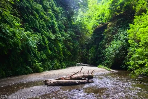
The further upcanyon we walked, the more tangled the logs in the gorge became. There was still always a way through, but we ducked, climbed over, and skirted plenty of dead wood and massive tree trunks.
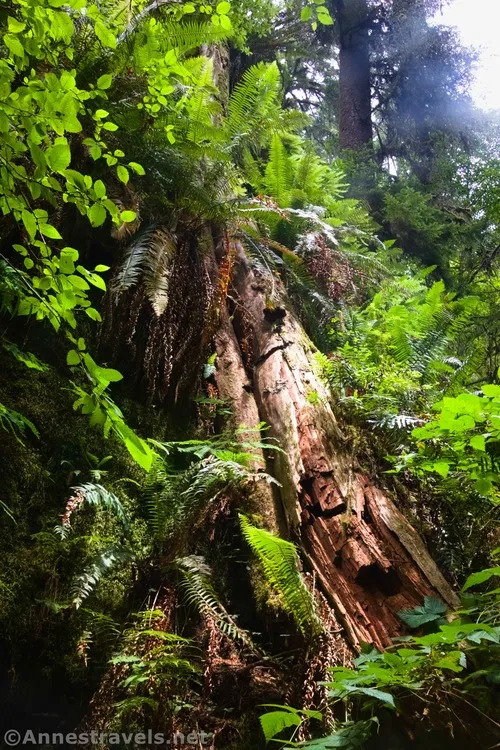
My biggest complaint with Fern Canyon was the number of people. I hadn’t expected to be even close to alone, but I somehow ended up hiking with a group of about 10 or 20 others. I’d stop to take photos, they would get ahead of me, and then I’d start walking only to find that they’d stopped to cross the creek or look at some moss. I’d pass them, and before you knew it, they’d pass me again. I think if I’d stopped for ten minutes, I could have lost them for good, and we both could have enjoyed the experience more. Next time I visit, I think I’ll do it earlier in the morning if possible.
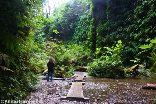
We finally came to where the trail rises left out of the gorge about mile 0.5. However, instead of turning left up toward the James Irvine Trail, we continued up the canyon. It immediately becomes wilder, and the trail quickly more or less disappears – there are also no more bridges.
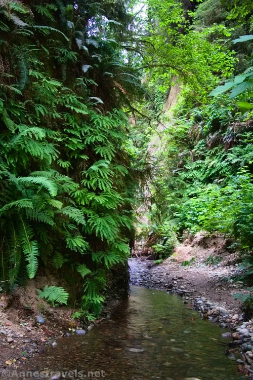
The area was also less scenic. It was much less fern-fest and more just a wild tangle of rainforest – which means that it was still pretty, just not as much like classic Fern Canyon scenery.
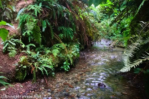
We scrambled over logs, jumped over the creek, crept across the stream on logs, and finally came to a junction in the stream a tenth of a mile later. I went left first; this was the better of the two forks IMO. I was able to scramble upstream for quite a distance before I came to a place where I would have had to wade in the creek.
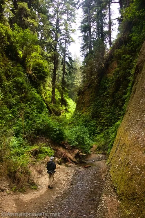
So I turned around and returned to check out the other (southernly) branch of the stream. I was able to go a little way, but not very far before, once again, I would have had to wade. Wet feet didn’t sound all that appealing right then, so I turned around and headed back down to the exit from Fern Canyon. Note that the right (southerly) fork eventually crosses the James Irvine Trail, while the left (northerly) fork heads north up into the redwood forest.
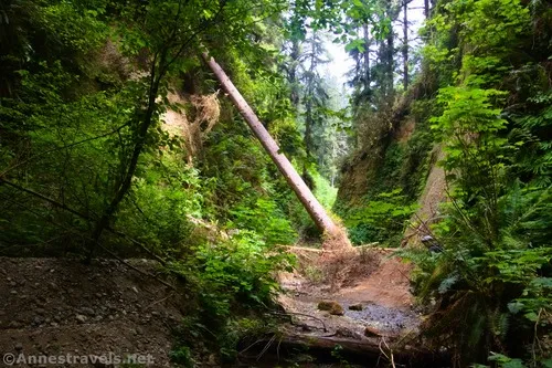
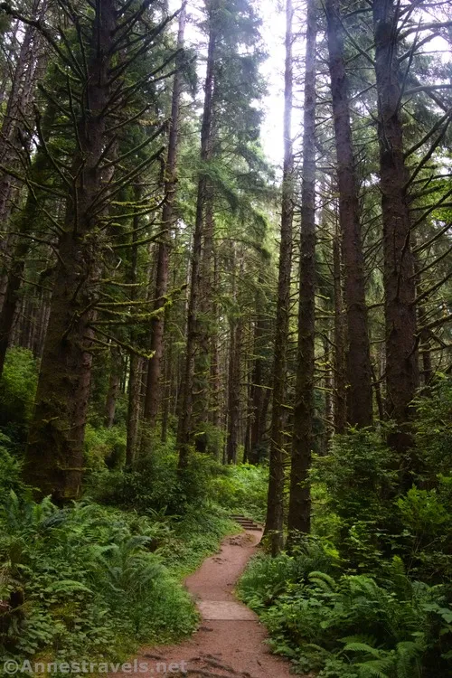
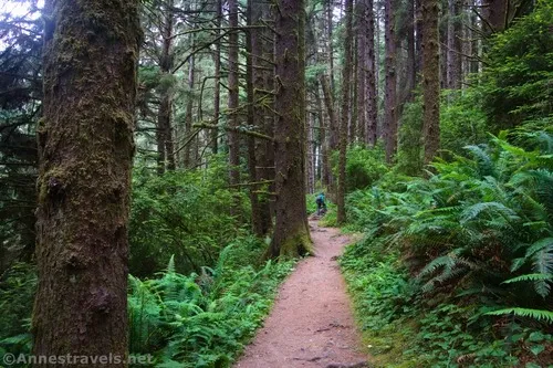
Head up the exit trail; turn left on the James Irvine Trail. The path travels mostly downhill through the redwoods to drop you near the mouth of Fern Canyon. Turn right downcanyon, then cross the creek to the left to return to the parking area.
They say that portions of The Lost World: Jurassic Park were filmed in Fern Canyon, and I can see how that would be true! It’s a wild, prehistoric kind of place with scenery I haven’t found elsewhere. Other films/shows that used Fern Canyon as a backdrop include Walking with Dinosaurs by BBC and Dinosaurs Alive! by IMAX.
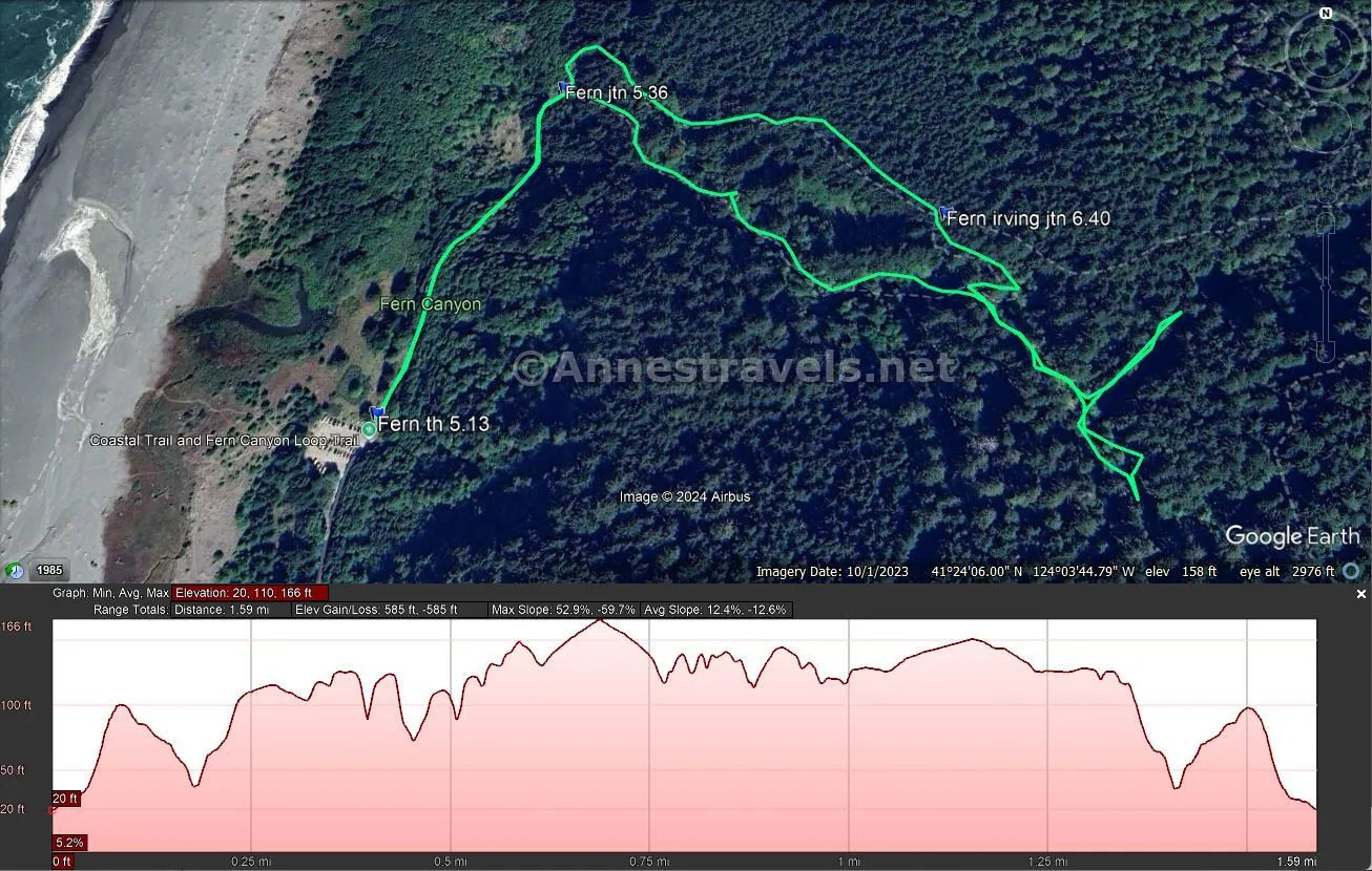
Round Trip Trail Length: 1.6 miles
Elevation Gain: 585ft. (20ft. to 166ft.)
Facilities: Primitive vault toilets
Fees: $12/vehicle to park at Gold Bluff Beach (plus required reservation May 15-September 15), America the Beautiful National Parks & Federal Lands Passes, Poppy Passes, and California State Park Passes are accpeted. No fee to park at the Prairie Creek Redwoods Visitor Center or the Ossagon Trailhead. Read more about the reservation requirements and specifics here.
Trail Notes: While I did the entire trail with (mostly) dry feet, it’s not a bad idea to wear comfortable water shoes. I especially saw quite a few children dashing through the stream and having a good time. Water shoes would also mean that you could wade further upstream in the upper part of the canyon. There is also access to the beach from the parking lot. The NPS suggests allowing at least 2 hours to hike the trail; that sounds about right (though I probably took a little longer with all of my exploring, photography, etc.). If you want good photographs, be prepared to wait until the crowds thin – it does happen, you just have to be patient – and bring a tripod (I did not and wished I had one). Also, it’s likely easier to photograph on a cloudy or misty day than in the sunshine due to dynamic contrast. The good news is that the coast is often foggy, especially in the morning in the summer, so chances are that you’ll have a cloudy day for your hike.
Trail 


Road 


Signs 


Scenery 


Would I go 100 miles out of my way for this? 


Overall Rating: 


GPS Coordinates for Fern Canyon
Fern Canyon TH: 41.4007940°, -124.0654520° (41°24.04764′, -124°03.92712′ / 41°24’02.8584″, -124°03’55.6272″) (35ft.) (5.13)
Fern Canyon Mouth: 41.4036660°, -124.0637960° (41°24.21996′, -124°03.82776′ / 41°24’13.1976″, -124°03’49.6656″) (35ft.) (5.36)
James Irvine Trail Junction: 41.4023750°, -124.0597400° (41°24.14250′, -124°03.58440′ / 41°24’08.5500″, -124°03’35.0640″) (123ft.) (6.40)
The gpx file for Fern Canyon can be downloaded – please note that this and the GPS Coordinates are for reference only and should not be used as a sole resource when hiking this trail.
Download GPX File size: 8.3 KB Downloaded 48 times
(Note: I do my best to ensure that all downloads, the webpage, etc. are virus-free and accurate; however, I cannot be held responsible for any damage that might result, including but not limited to loss of data, damages to hardware, harm to users, from use of files, information, etc. from this website. Thanks!)
Getting to the Fern Canyon Trailhead
From Klamath, California, drive south on US-101 for about 18 miles. Turn right onto Davison Road. After 3.7 miles, the road becomes Gold Bluffs Beach Road E. Continue another 3.1 miles to the parking area at the end of the road.
From Eureka, California, drive north on US-101 for about 40 miles. Turn left onto Davison Road. After 3.7 miles, the road becomes Gold Bluffs Beach Road E. Continue another 3.1 miles to the parking area at the end of the road.
From the Prairie Creek Redwoods Visitor Center, turn right to drive south 1.1 miles back to US-101. Turn right again to drive south 2.3 miles. Turn right onto Davison Road. After 3.7 miles, the road becomes Gold Bluffs Beach Road E. Continue another 3.1 miles to the parking area at the end of the road.
The Ossagon Trailhead is located 5.6 miles north of the Prairie Creek Redwoods Visitor Center via the Newton B. Drury Scenic Parkway.
Today’s Featured Product!
Explore almost 40 of the best trails in Redwood National and State Parks with this guide. It covers short strolls, challenging routes, and many paths in between. Buy your copy here!


Pingback: Gloria Falls in Little Cottonwood Canyon – Anne's Travels
Pingback: Sneak Peak: The Rest of the Trip! (SLC, Sawtooths, Utah, Loveland Pass) – Anne's Travels