
I recently returned from an amazing trek across the country! We drove nearly 6,000 miles, hiked around 160 miles, and saw some truly amazing scenery both by foot and by van. Of course, we also slept under brilliant stars, watched sunrises and sunsets, climbed (literally!) canyons, learned local history, chased waterfalls, made new friends, and experienced a few unplanned adventures (mostly positive, thankfully!) I’d like to share a few pictures and some of those adventures with you in this post.
We managed to visit only four parks on this trip, and all of them were national parks – Petrified Forest, Death Valley, Grand Canyon, and Canyonlands. We also spent the night in three national monuments – Ancestral Footprints of the Grand Canyon, Navajo, and Bear Ears. For the most part, the weather was reasonable, though we had a few cloudy days, outran a 12-inch-predicted snowstorm south of Grand Canyon, found ourselves pelted with snow in Death Valley, and finally made our way home because it was just too hot to want to hike. Most interesting to me, though, was the waves of people from various states on spring break. That’s not something I’ve had to experience in the fall, so I wasn’t thinking about such things when I planned a trip in March. Oh well – we managed to avoid 90% of the crowds and had a great time!
Speaking of avoiding crowds, I’m not sure I’ve ever taken a trip where we spent so little time on established trails. It became a joke, “So Anne, are we going to have a trail today?!?” We ended up exploring a total of 5 official trails, 4 hikes with official trails for part of the distance, and a whopping 20 off-trail, old road+off-trail, or social trail+off-trail hikes! (Do you really want to go hiking with me now?!?)
Petrified Forest National Park
We started our adventures in Petrified Forest National Park. I’d hiked about half of the trails in the park back in 2023, and I wanted to finish up the few that were left to experience on this trip. The park has several off-trail hikes – they hand you a printout and you can follow that, landmarks, and GPS coordinates to the route’s destination. The Wilderness Route and Blue Forest had both worked so well last time that it only seemed right to check out the rest of the off-trail routes on this visit. I went for the least interesting first and hiked out to Dead Horse Point…
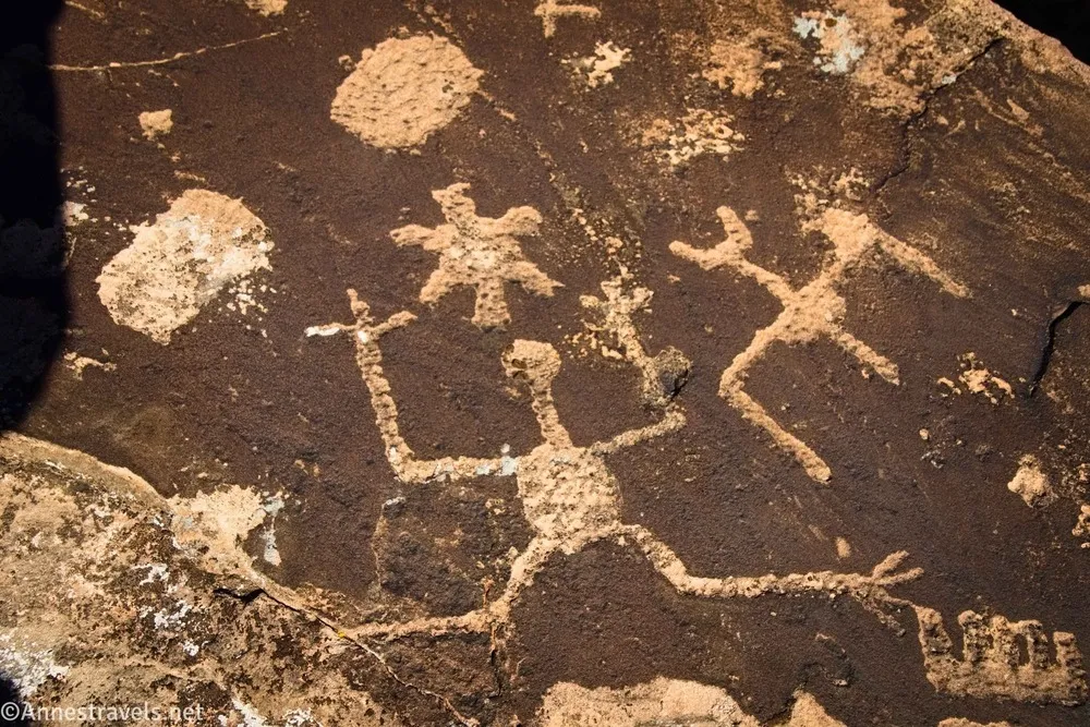
Then did a sunset hike out to Martha’s Butte. (Which happens to be one of two treks in the park that is on AllTrails but not officially recognized by the NPS. The other is Pilot Rock, which travels part of the Wilderness Route out to the park’s high point – 17 miles sounded like way too much fun, so I didn’t hike that one.) The butte is surrounded by boulders with some really neat rock art.
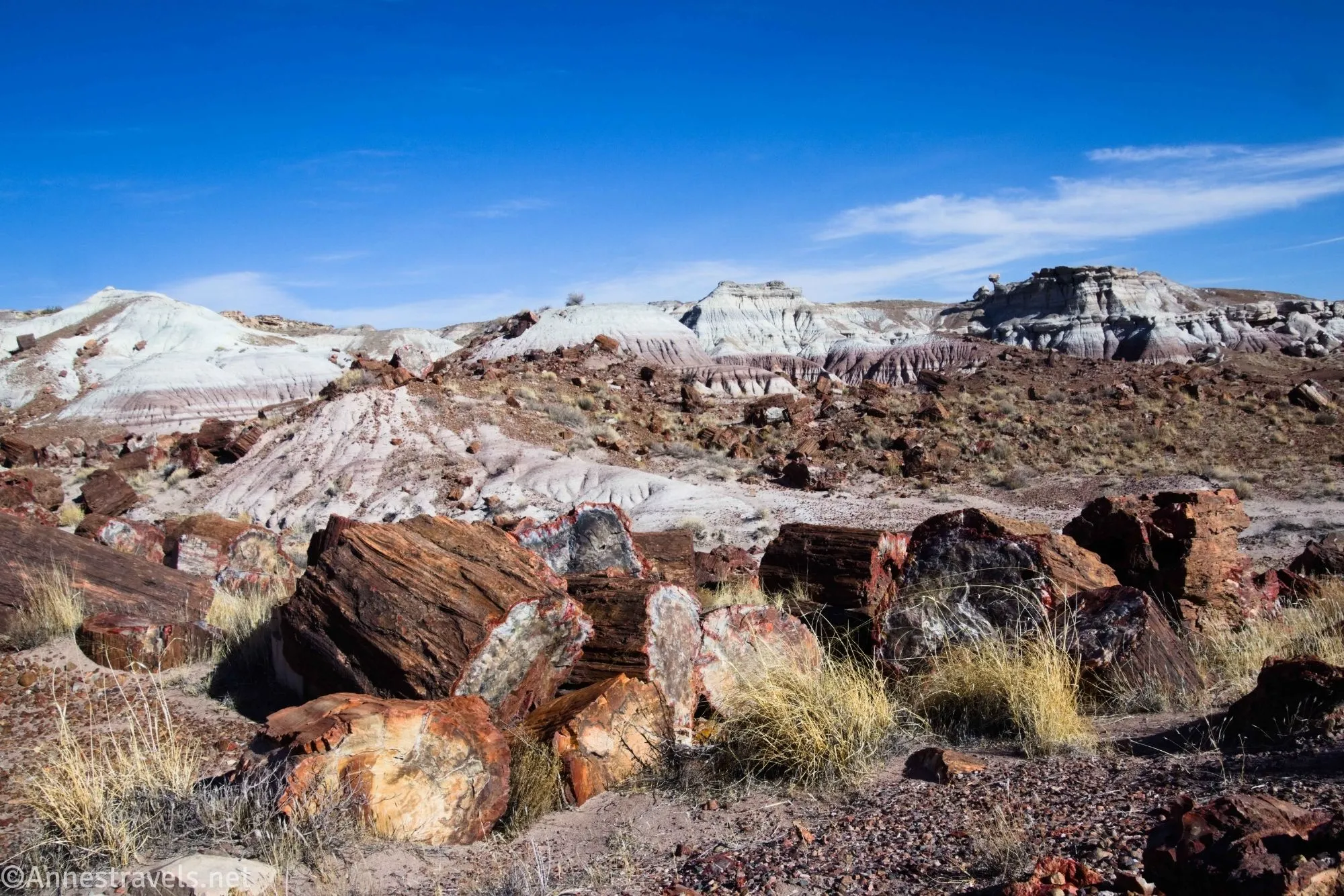
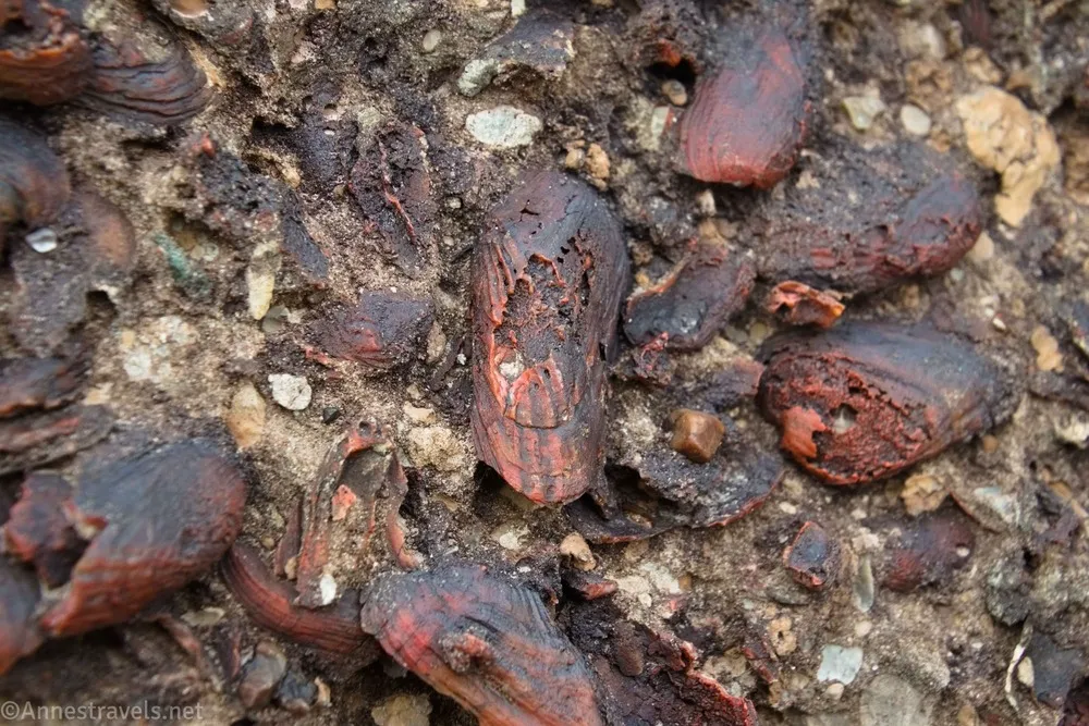
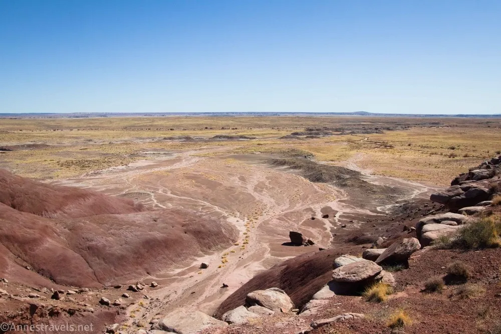
We got up the next morning and headed out toward First Forest Point. It was my second-favorite of the routes we did on this trip. Wandering through stash after stash of petrified wood and finally ending up on top of a mesa with a great view was fun!
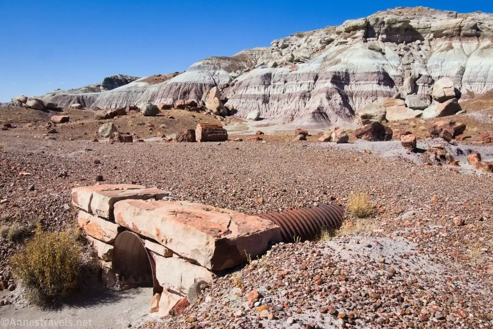
In the afternoon, we took the Jasper Forest Route. It’s actually an old road, so it’s easy to follow. The road once went to Eagle Nest Rock, a really neat rock formation. Sadly, it eroded away and fell in the 1940s, so the road was allowed to fall into disrepair, but the printout from the visitor center helps you find about a dozen old culverts that once carried rainwater under the road.
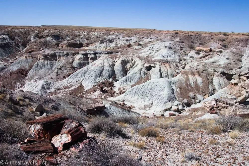
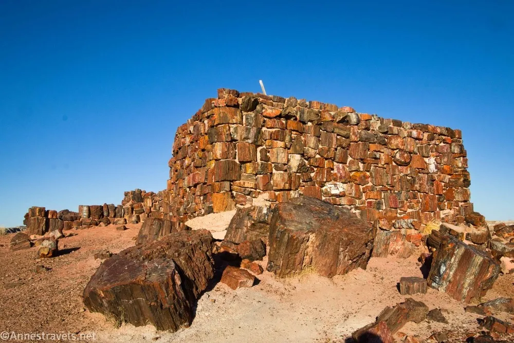
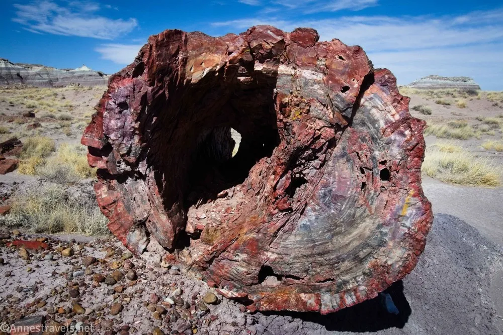
I’ve always enjoyed sunset among the petrified wood, so off we went to see Agate House and the Long Logs. While I still think the Crystal Forest is nicer, this is a really neat area, too.
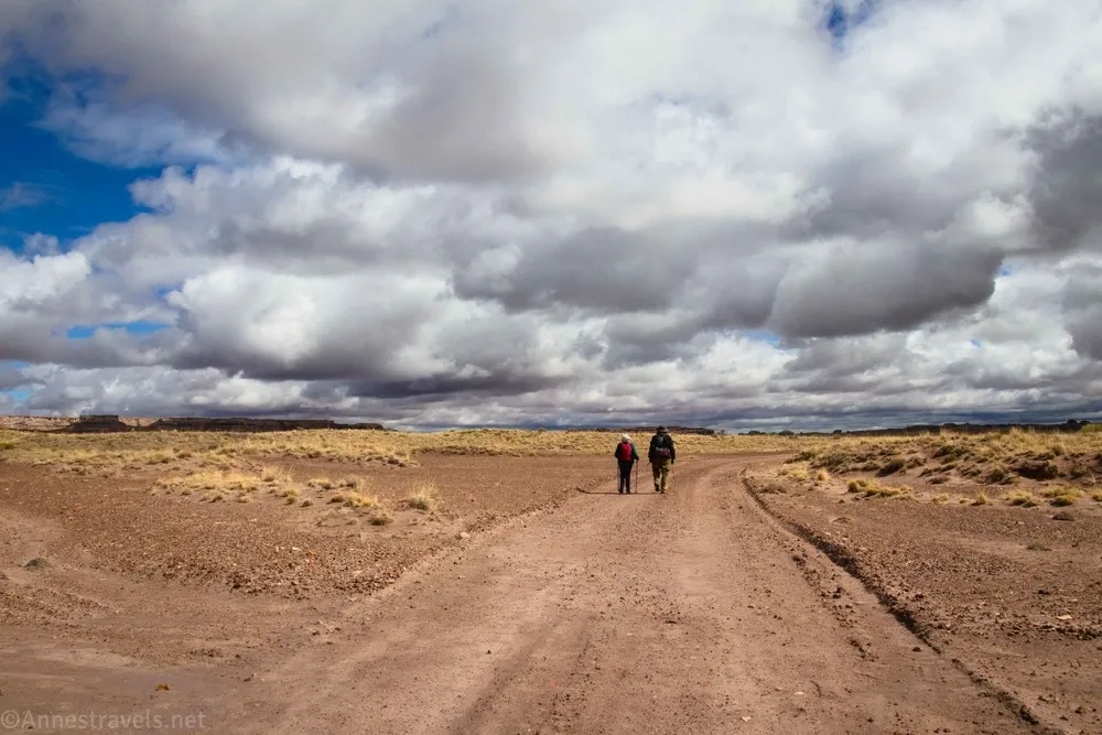
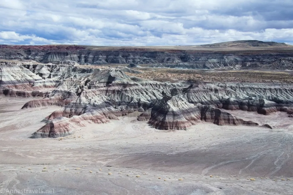
Our final day in Petrified Forest was spent hiking the very long (but very neat!) Clam Beds and Red Basin Route. It had some significant wayfinding, but it was very much worth the effort and occasional raindrops!
Our plan from here was to go over to Grand Canyon. However, GoogleMaps dutifully informed us of an impending winter storm. On further investigation, we found that the Grand Canyon was slated to receive 12 inches of snow! So instead of getting stuck in a snowdrift, we headed over to Death Valley National Park where we would spend the majority of the rest of the trip.
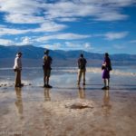
Death Valley: The Funeral and Grapevine Mountains
Back in 2023, we took our second unplanned trip to Death Valley after successfully completing the South Kaibab Trail in Grand Canyon. Our very last adventure before heading home was to drive the Echo Canyon Road up to the Inyo Mine. I really wanted to go further, all the way up Echo Canyon, but we simply didn’t have time for that. Well, our very first adventure in Death Valley in 2025 was to once again drive up Echo Canyon… all of the way to the end!
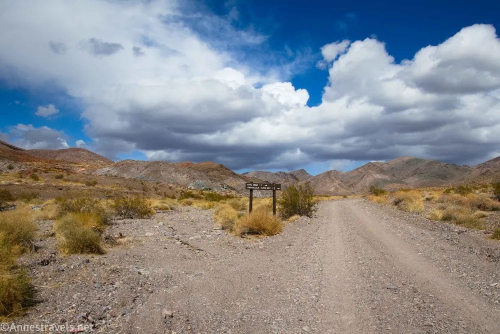
Our goal in driving the Echo Canyon Road was to hike up the rest of Echo Canyon (all of the way through the Funeral Mountains) to the Echo Canyon Overlook. This name is a misnomer since you’re on a clifftop overlooking the Amargosa Valley. But it was a great hike with a wonderful view and one I’d do again if I was in the area.
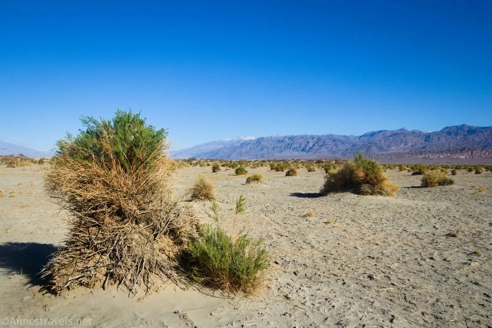
After a quick stop the next day at Devils Cornfield…
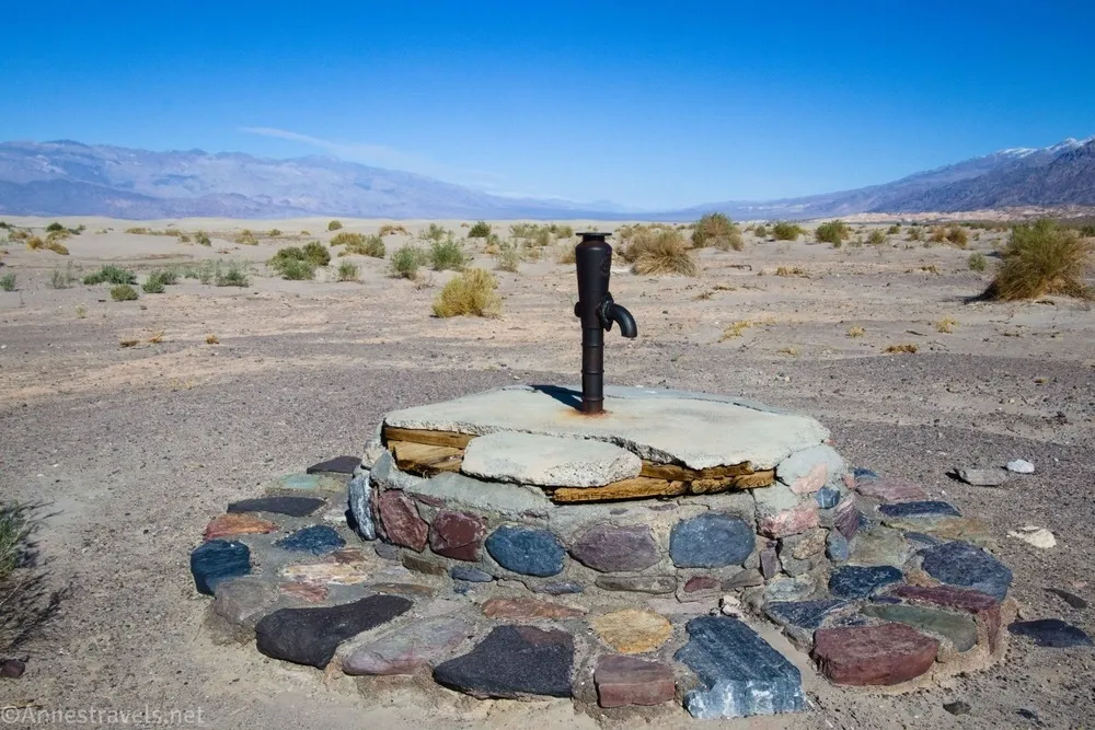
…and another at the Historic Stovepipe Well…
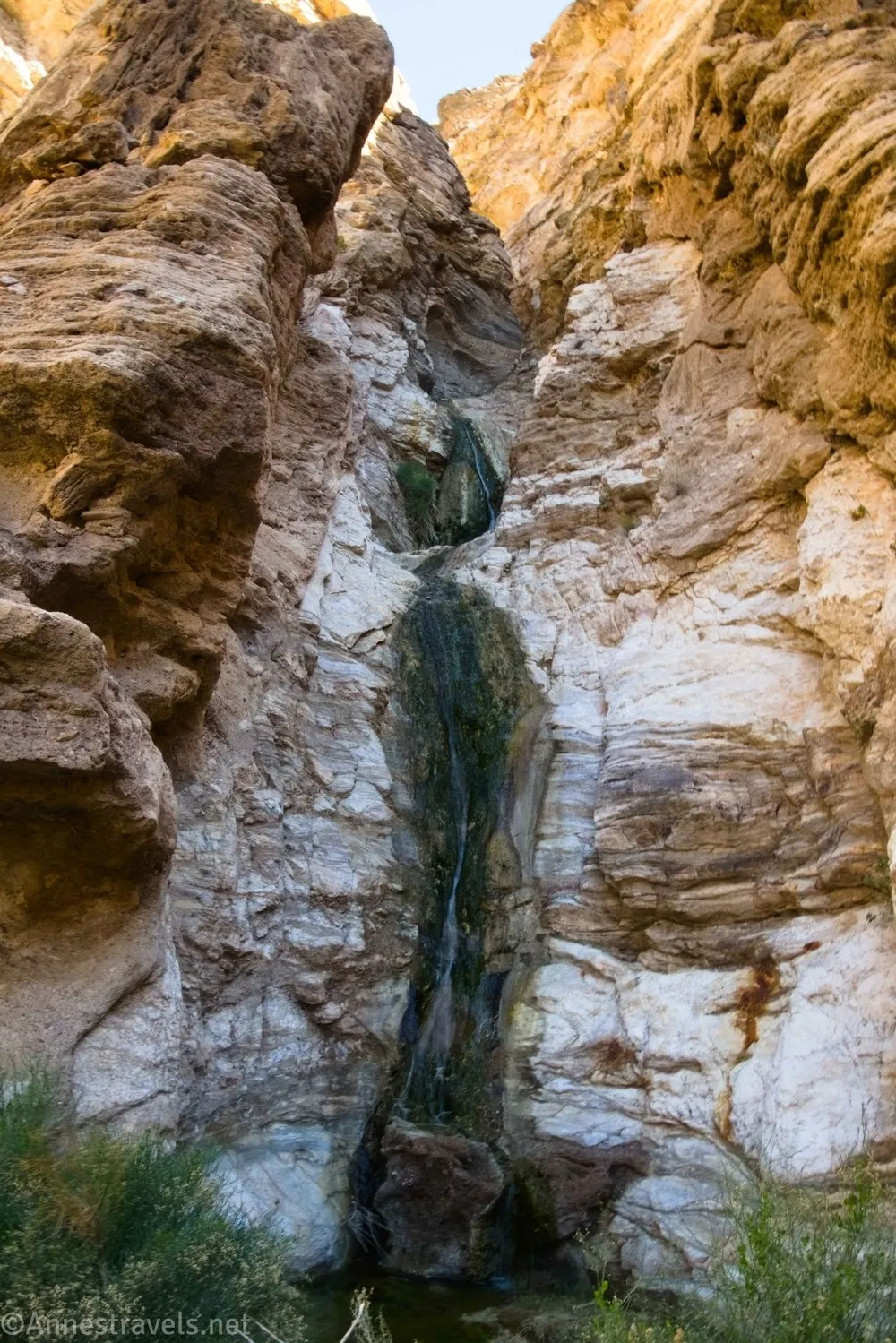
…we hiked up Lower Monarch Canyon to the pretty waterfall.
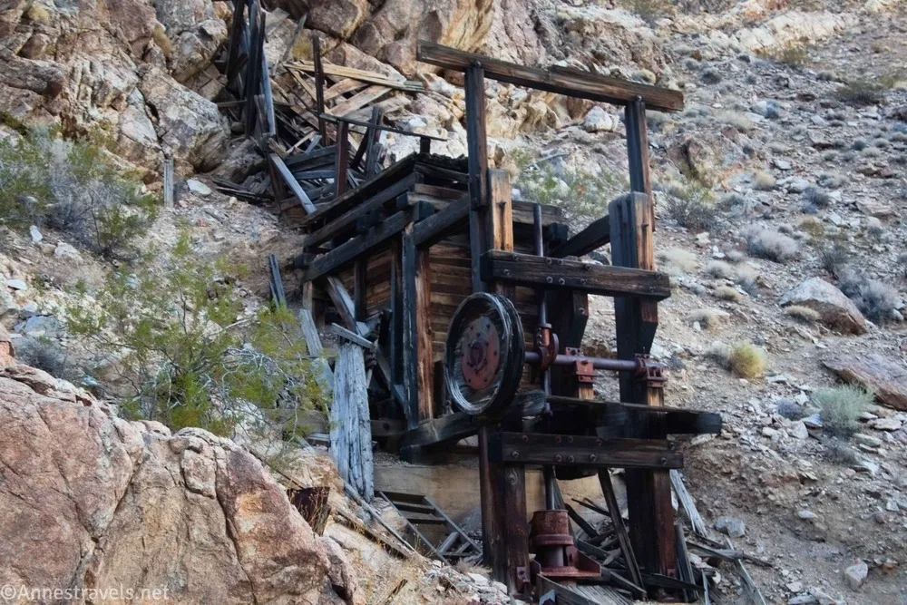
In the evening, we hiked down Upper Monarch Canyon. It got dark before we could find the top of the waterfall, but not before we had found an old mine area. It would have been a pretty hike if we hadn’t had to use flashlights to get back (but now I know that both my phone and GPS have flashlight functions that don’t eat battery power too badly).
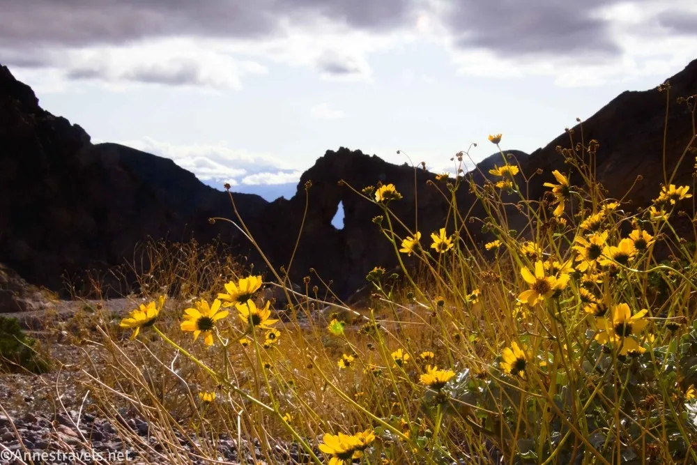
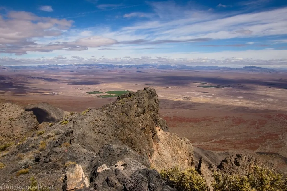
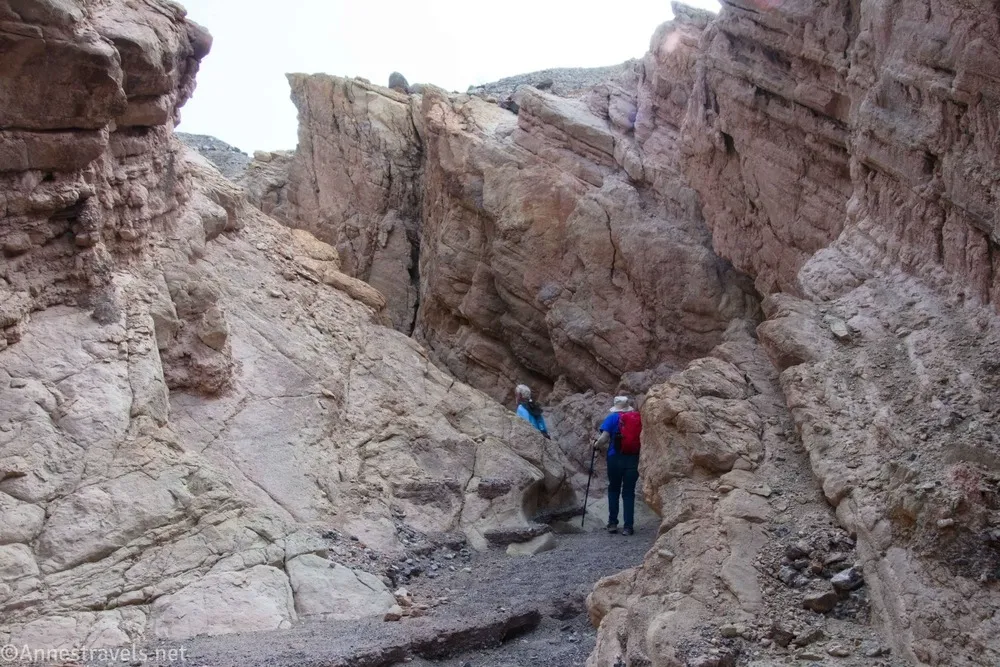
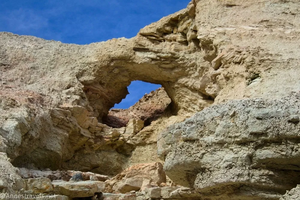
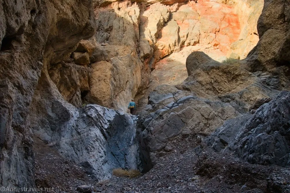
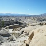
One of the hikes I was really looking forward to exploring was the Cauldron. It started out on the Fall Canyon Trail, but pretty quickly we took to a route I’d figured off the internet. The Cauldron was a really fun maze of slot canyons and rock formations.
While we were in the area, I jogged down to Little Arches Canyon…
…then I climbed back up to Palmer Canyon and hiked to the end of the second narrows.
This pretty much marked the dividing line of the trip for us (for one thing, the weather improved dramatically after this in terms of sunshine), so I’ll continue talking about it in the next post… including how we drove out to the Racetrack to see the famous Sailing Stones!
Scenic Hikes in the Western National Parks!
Looking for some of the most scenic hikes in the national parks? This guide has some of my favorites, complete with turn-by-turn directions, GPS coordinates, pictures, maps, and more! Buy your copy here.

More Related Posts:
 Sneak Peak: Petrified Forest, Southern Utah, and Death Valley!
 Sneak Peak: Grand Canyon, Southern Utah, and Death Valley!
 Death Valley Road Trip Hiking Itineraries!
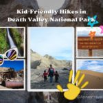 The Best Hikes for Kids in Death Valley National Park!
 5 Best Hikes in Anza Borrego Desert State Park
 The Best Day Hikes in Chiricahua National Monument