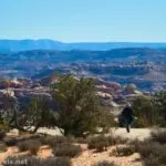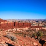
French Spring is one of the minimal number of attractions to see along NP-633 (the road between Hans Flat and the top of the Flint Trail) in the Maze District of Canyonlands National Park.* It’s one of the more difficult of these attractions to visit, simply because the short trail is steep and badly eroded. But it’s pretty interesting to see the stream and nearby watering trough if you have an extra few minutes while driving NP-633.

*Technically, this is in the Orange Cliffs District of Glen Canyon National Recreation Area. But since it’s administered under the Maze District, that’s usually how it’s categorized.
Quick Stats
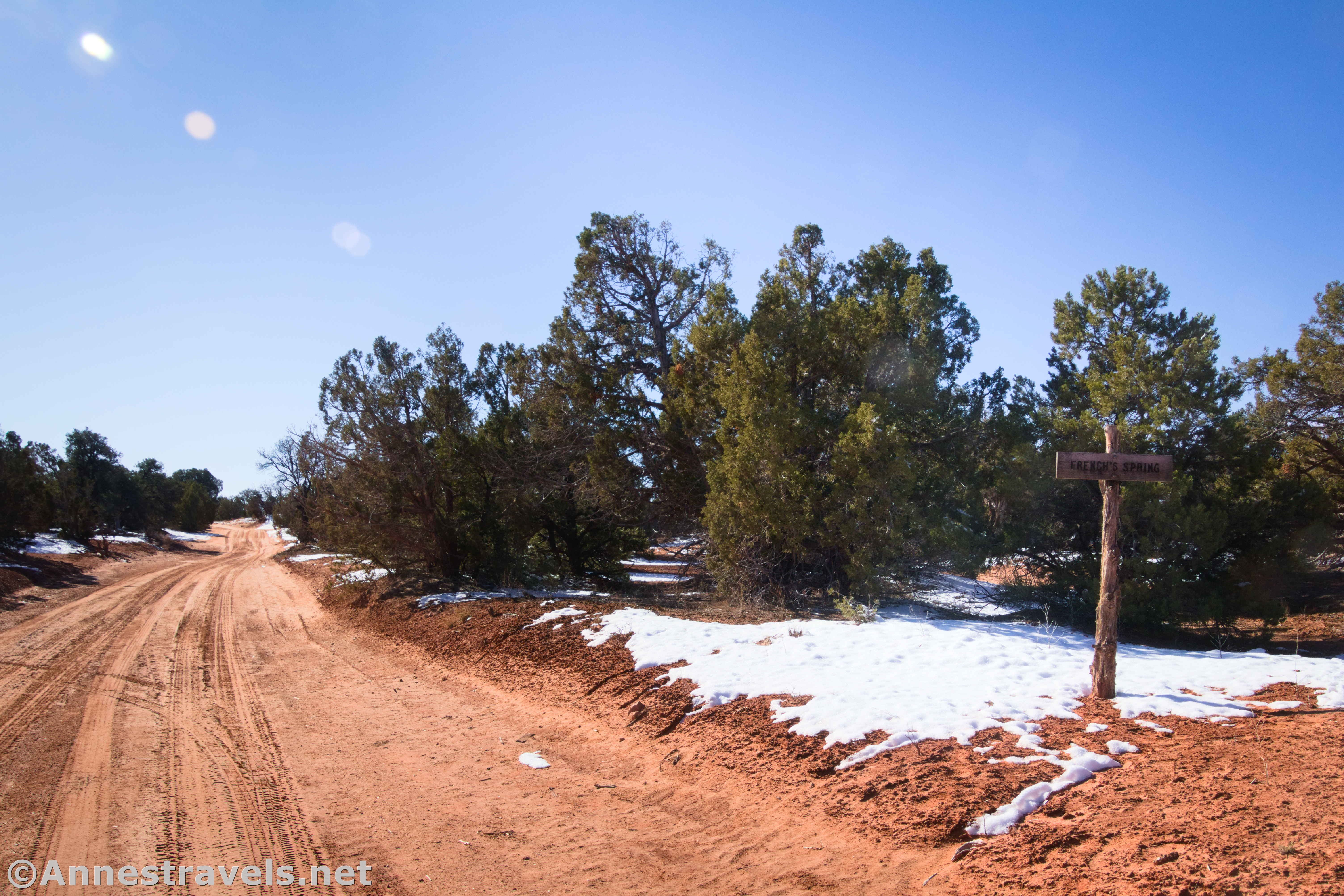
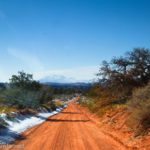
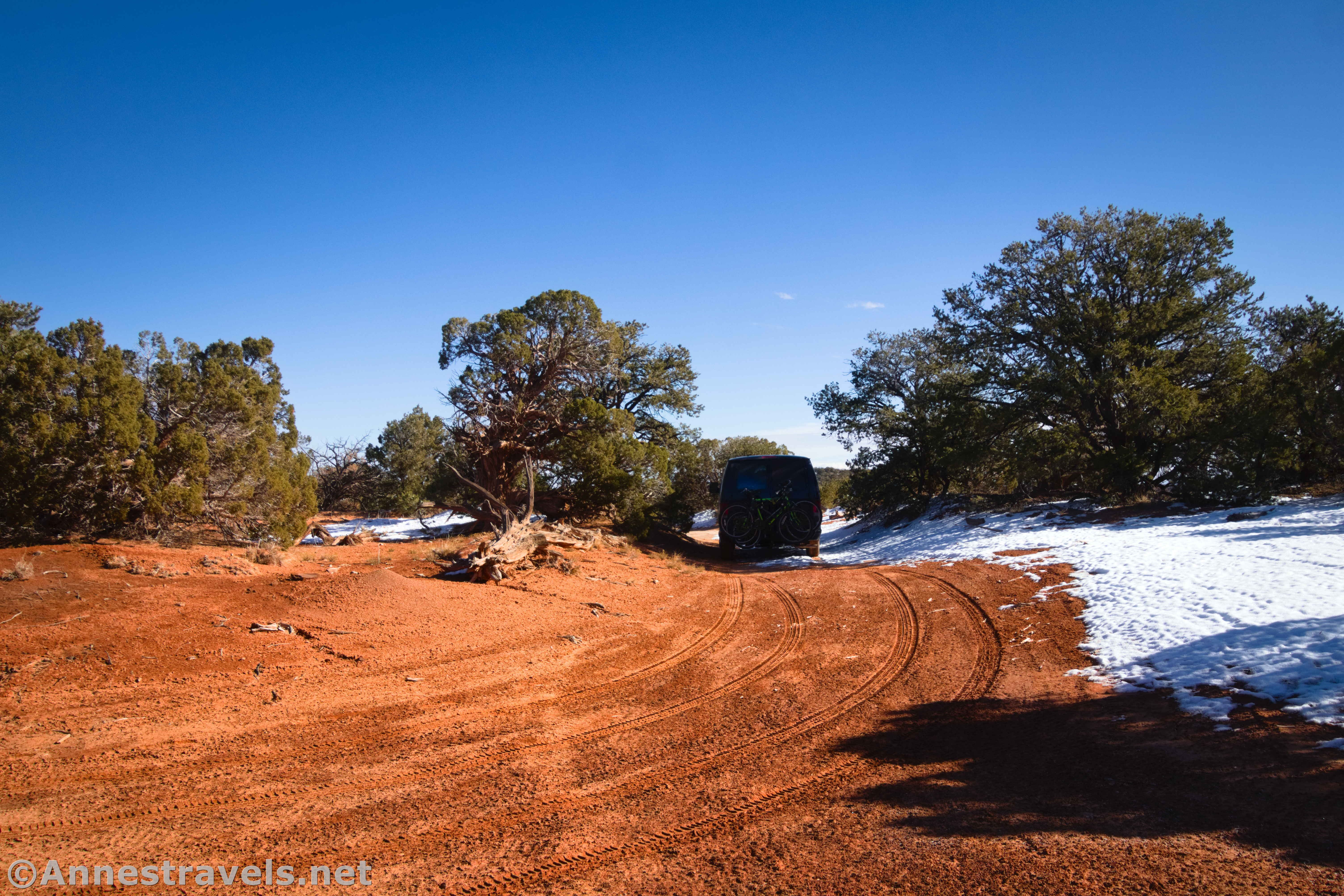
Drive NP-633 (the sign points toward the Flint Trail) for 2.4 miles from Hans Flat to a sideroad on the left – a sign on the right points left toward French Spring. Turn left for 0.25 miles to the end of the road. I opted to park out by the main road and hike in since I didn’t have 4×4 and figured I wouldn’t stress my van any more than I already was doing!

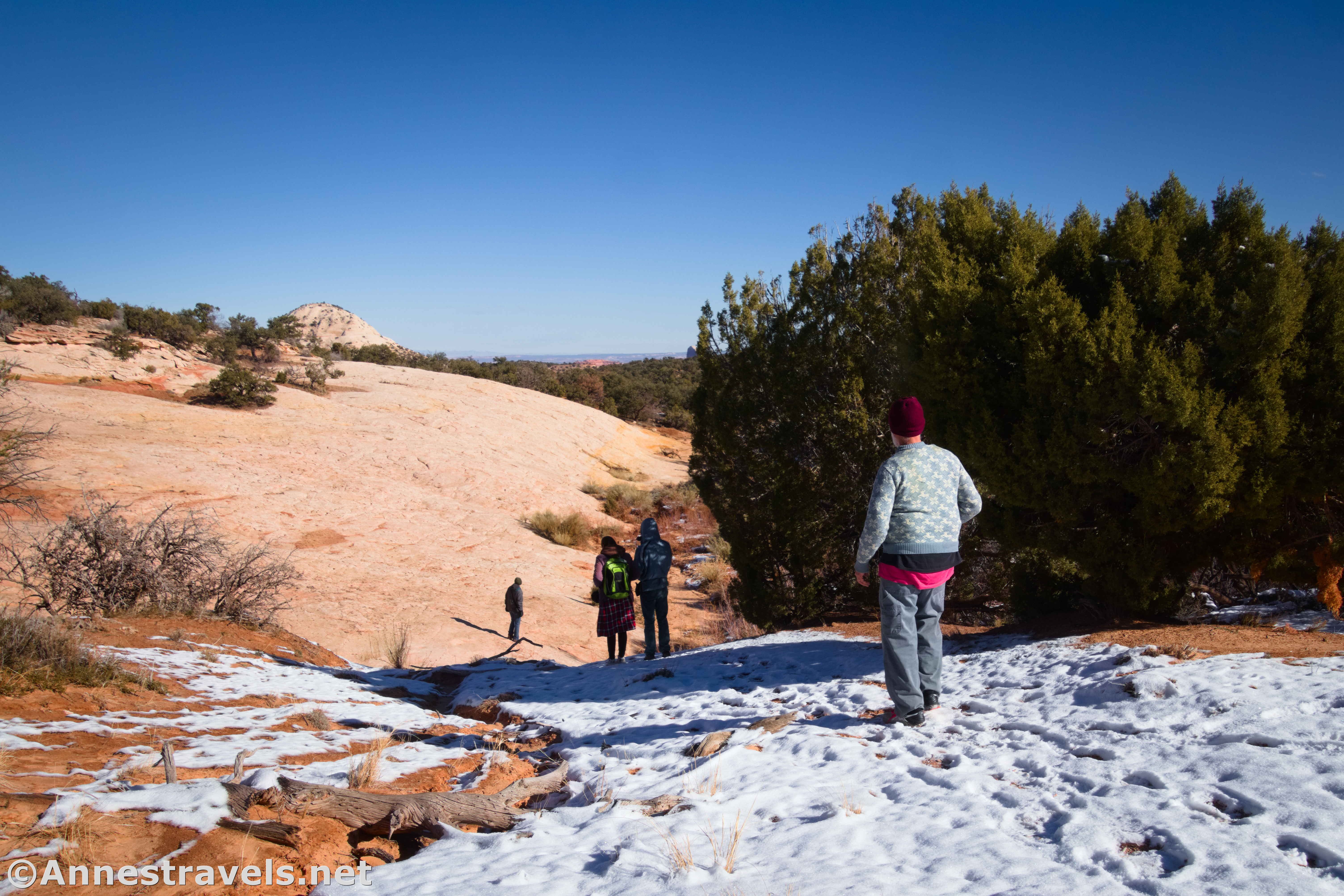
From the end of the road, head left to where a sandy area leads downhill. This will take you to the slickrock; French Spring is on the right. You may have to cast around a little (there aren’t any signs or trails), but head for the rushes, and you’ll find it.
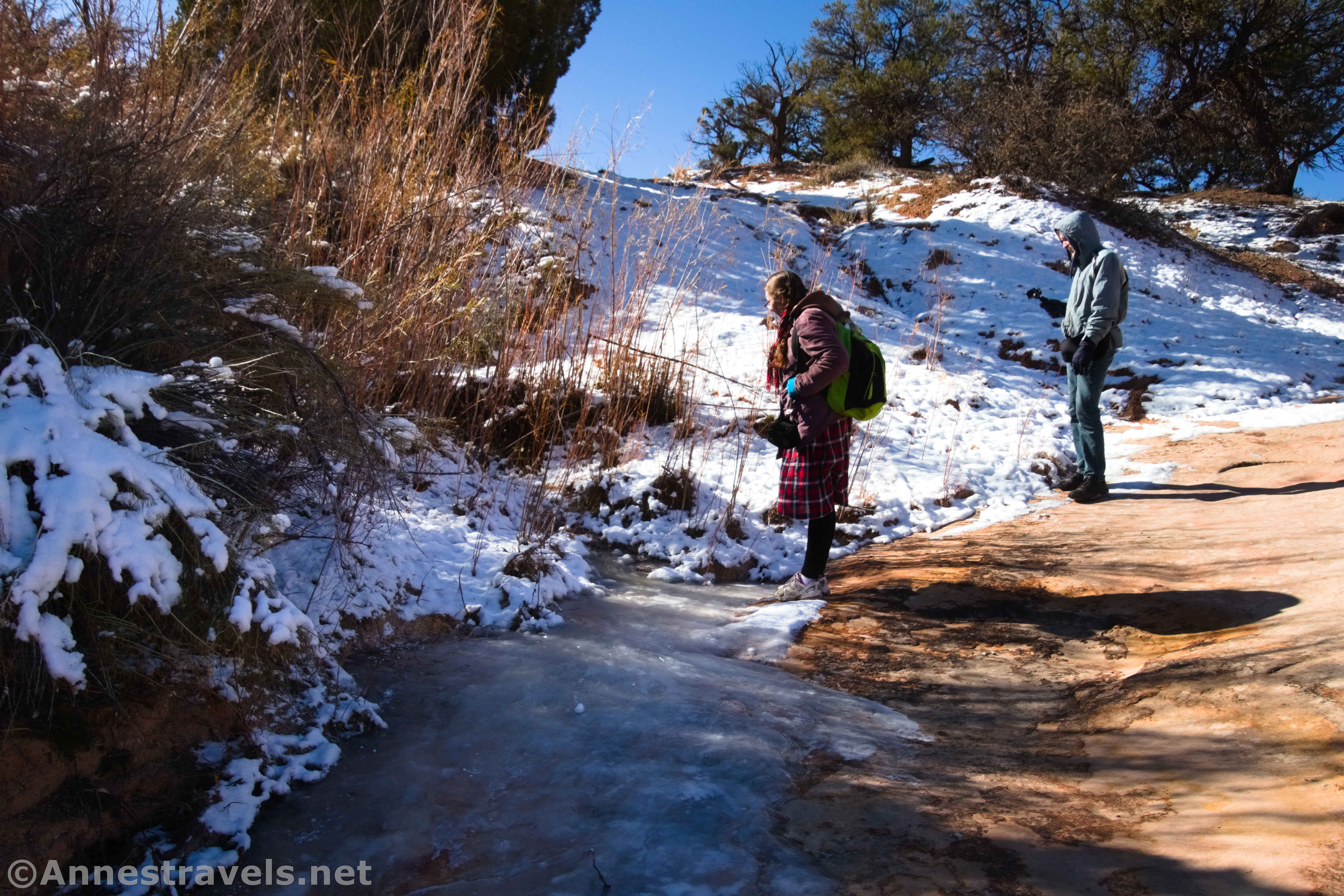
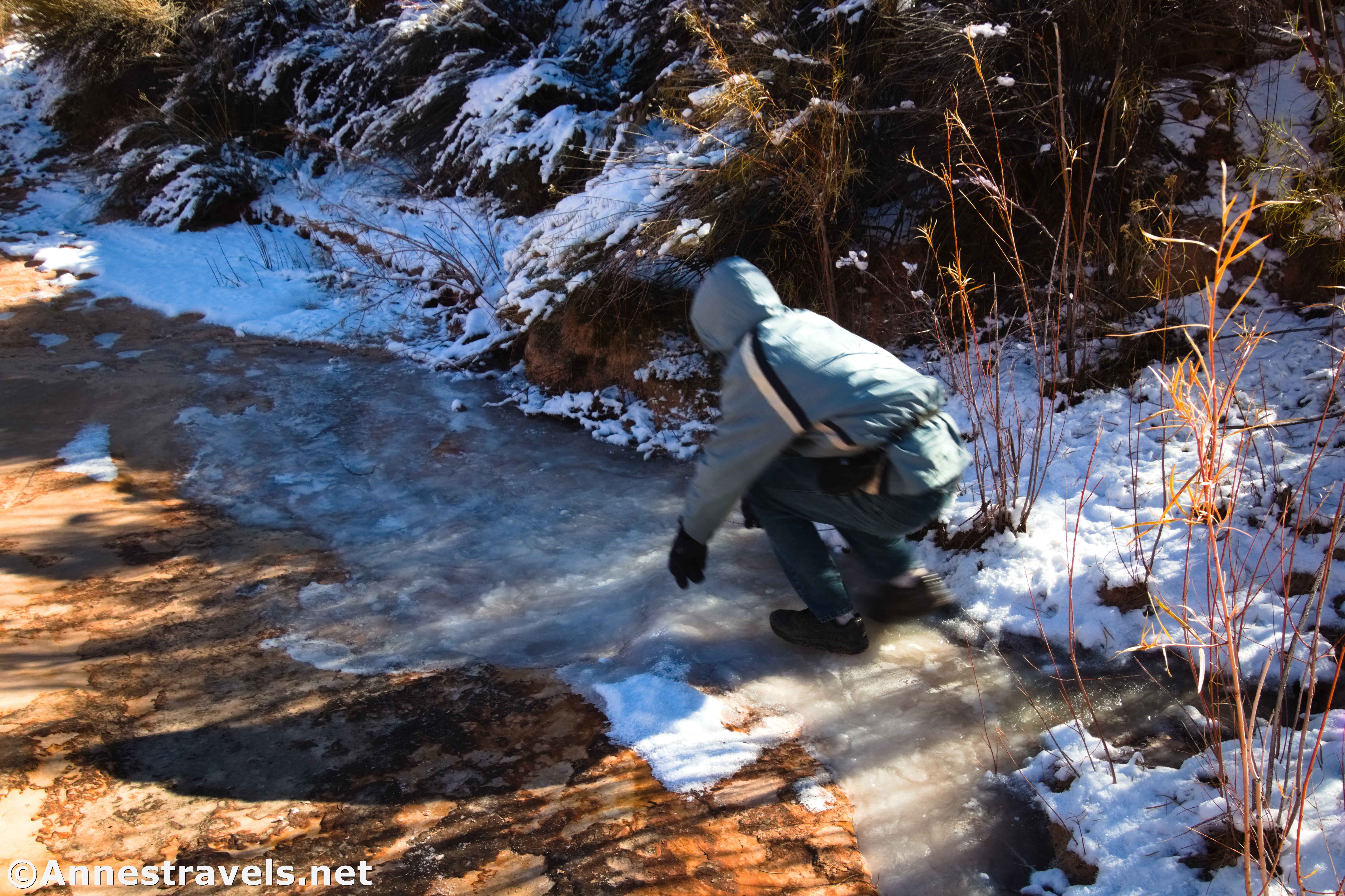
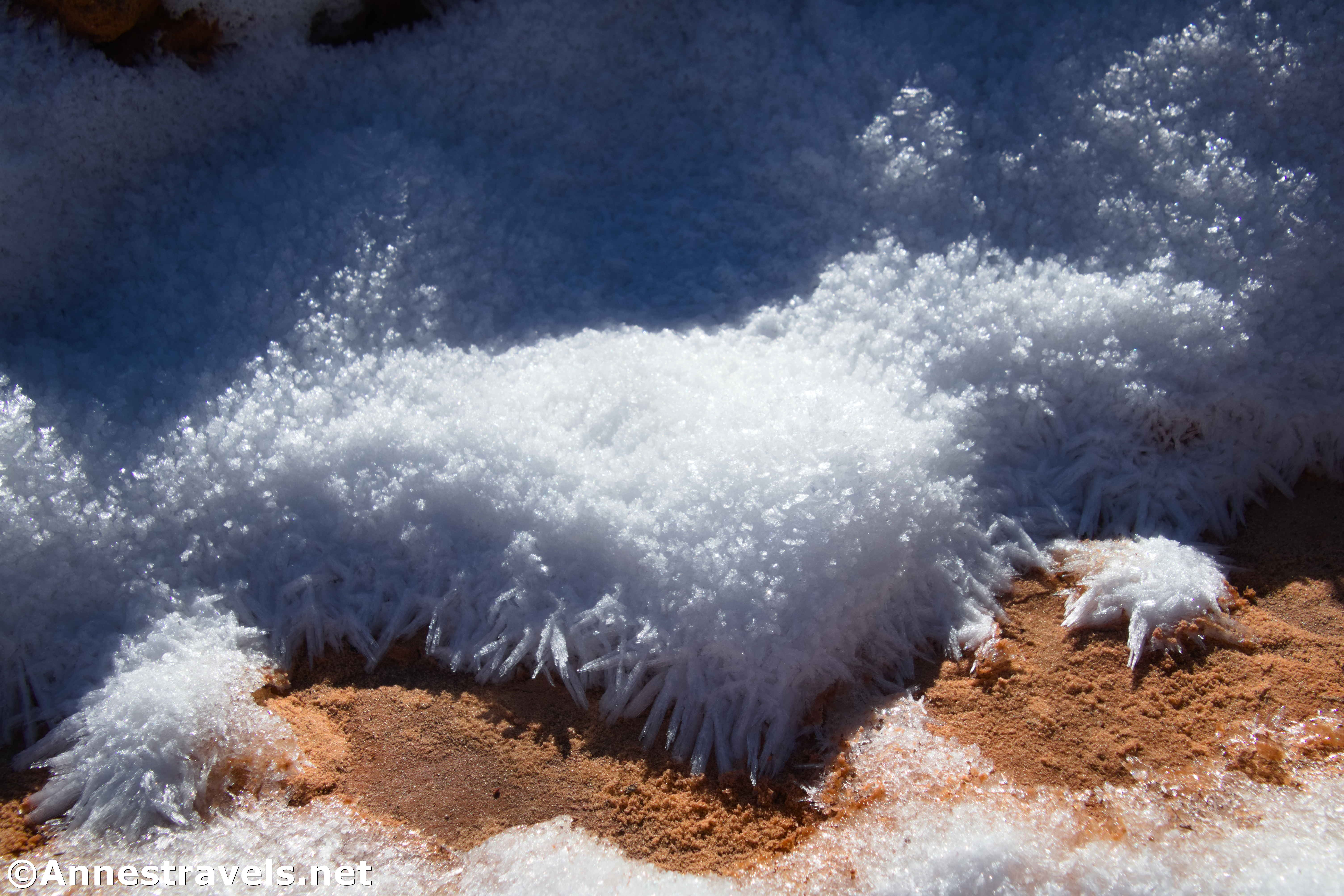
I visited on a chilly morning in mid-November. The week before, the area had received a snowstorm, and it was still unseasonably cold. So French Spring was frozen! We had a grand time sliding down the ice (it was solid).
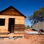
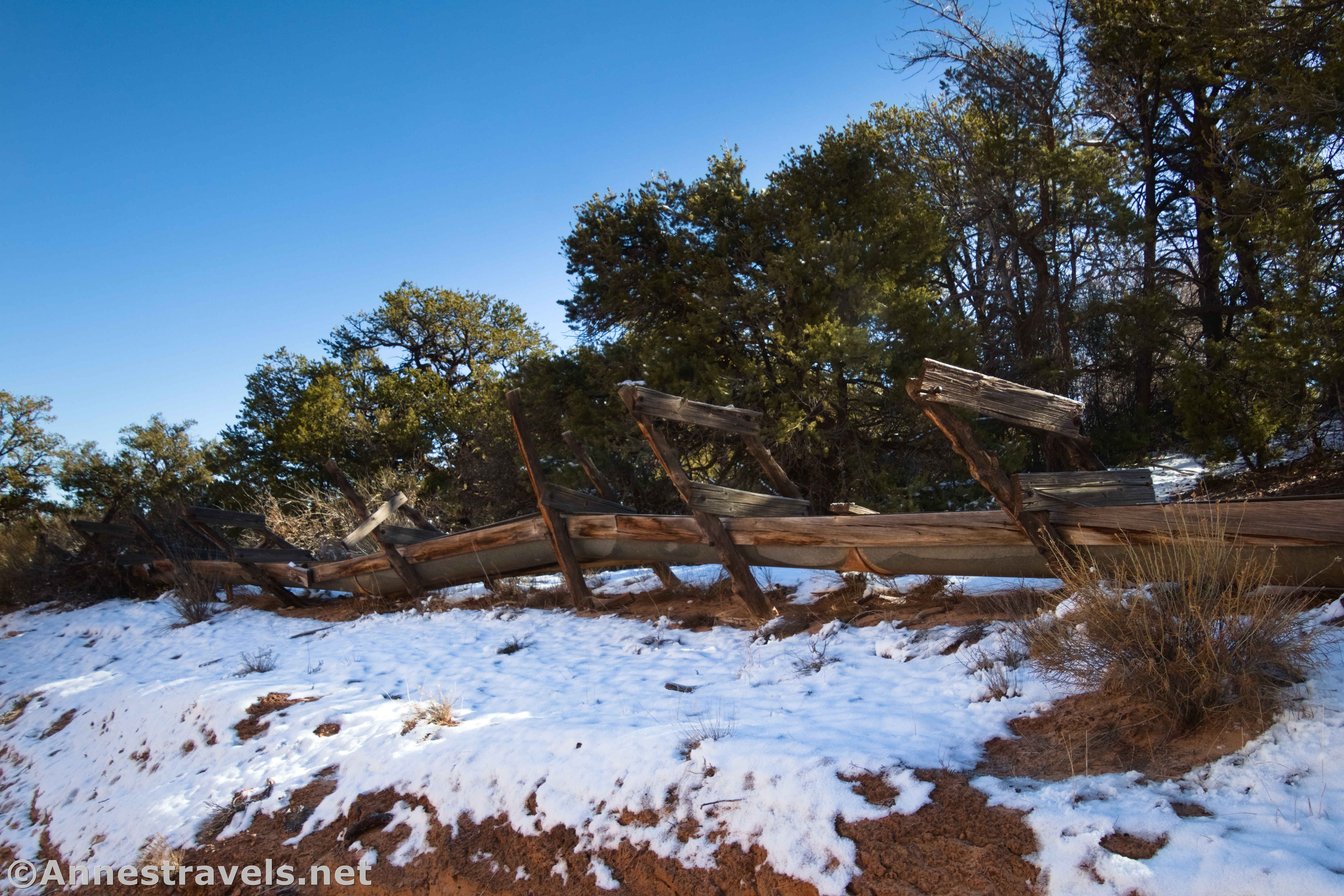
I headed downstream a short distance and found the old watering trough/flume. Again, it was frozen. It was also winter and therefore difficult to photograph – spring would bring the sun to a more northerly position to shine on the area. There is some historic junk scattered around – be careful to stay on slickrock or in washes rather than stepping on the fragile black soil crust, and leave everything that you find.
French Spring was well-known to the early inhabitants of and travelers through the Maze. Settlers, prospectors, and ranchers all took their turns using it for survival. Chances are that the spring was named after the Basque sheepherders who used the spring in the 1880s. T.C. Conley, who built nearby French Cabin, was an oil prospector who also appreciated its life-giving water.

After you’ve finished exploring, hike back to your vehicle for your next adventure in the Maze District!

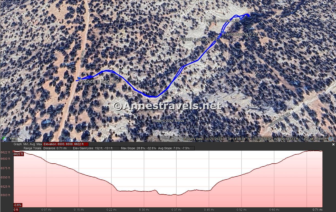
Round Trip Trail Length: 0.3 miles out & back; add another half mile if you decide to hike the road instead of driving it.
Elevation Gain: 59ft. (6,534ft. to 6,503ft.) (French Spring only) or 152ft. (6,622ft. to 6,503ft.) (this includes walking the road)
Facilities: None
Fees: None
Trail Notes: Try to leave the area exactly as you found it – and don’t go swimming/wading. The road isn’t all that bad by Maze standards, but I was happy enough that I’d left my 2WD, high clearance van out by the main road (just because I could have driven it doesn’t mean that my feet didn’t do a better job). Camping is only allowed in designated sites; preregister online. The spring is perennial, though I expect it’s more prolific at wetter times of year.

Trail 
![]()
![]()
![]()
Road ![]()
![]()
![]()
![]()
Signs ![]()
![]()
![]()
Scenery ![]()
![]()
Would I go 100 miles out of my way for this? ![]()
![]()
![]()
Overall Rating: ![]()
![]()
![]()
GPS Coordinates for French Spring
Beginning of French Spring Road: 38.2352430°, -110.1508280° (38°14.11458′, -110°09.04968′ / 38°14’06.8748″, -110°09’02.9808″) (6,612ft.) (0.0)
Parking area: 38.2364580°, -110.1479350° (38°14.18748′, -110°08.87610′ / 38°14’11.2488″, -110°08’52.5660″) (6,528ft.) (0.23)
French Spring: 38.2366510°, -110.1478100° (38°14.19906′, -110°08.86860′ / 38°14’11.9436″, -110°08’52.1160″) (6,523ft.) (0.27)
Flume: 38.2370980°, -110.1472730° (38°14.22588′, -110°08.83638′ / 38°14’13.5528″, -110°08’50.1828″) (6,519ft.) (0.38)

The gpx file for French Spring can be downloaded – please note that this and the GPS Coordinates are for reference only and should not be used as a sole resource when hiking this trail.
Download GPX File size: 12.1 KB Downloaded 54 times
(Note: I do my best to ensure that all downloads, the webpage, etc. are virus-free and accurate; however, I cannot be held responsible for any damage that might result, including but not limited to loss of data, damages to hardware, harm to users, from use of files, information, etc. from this website. Thanks!)
Getting to French Spring
From the Hans Flat Ranger Station, drive NP-633 for 2.4 miles (follow the sign for the Flint Trail). A small sign on the right points to the sideroad on the left. Turn left onto this sideroad for 0.25 miles to a small parking area. I either did or could have traveled both of these roads in my 2WD van at the time I visited. However, I’d recommend 4×4 for a couple of hills shortly after leaving Hans Flat, and the road to French Spring has enough steps to warrant 4×4.
Today’s Featured Product!
I’m a huge fan of this book on Canyonlands National Park. Besides an incredible breadth of jeep roads and trails, the author includes detailed directions and some fun history about the area. Buy your copy here.