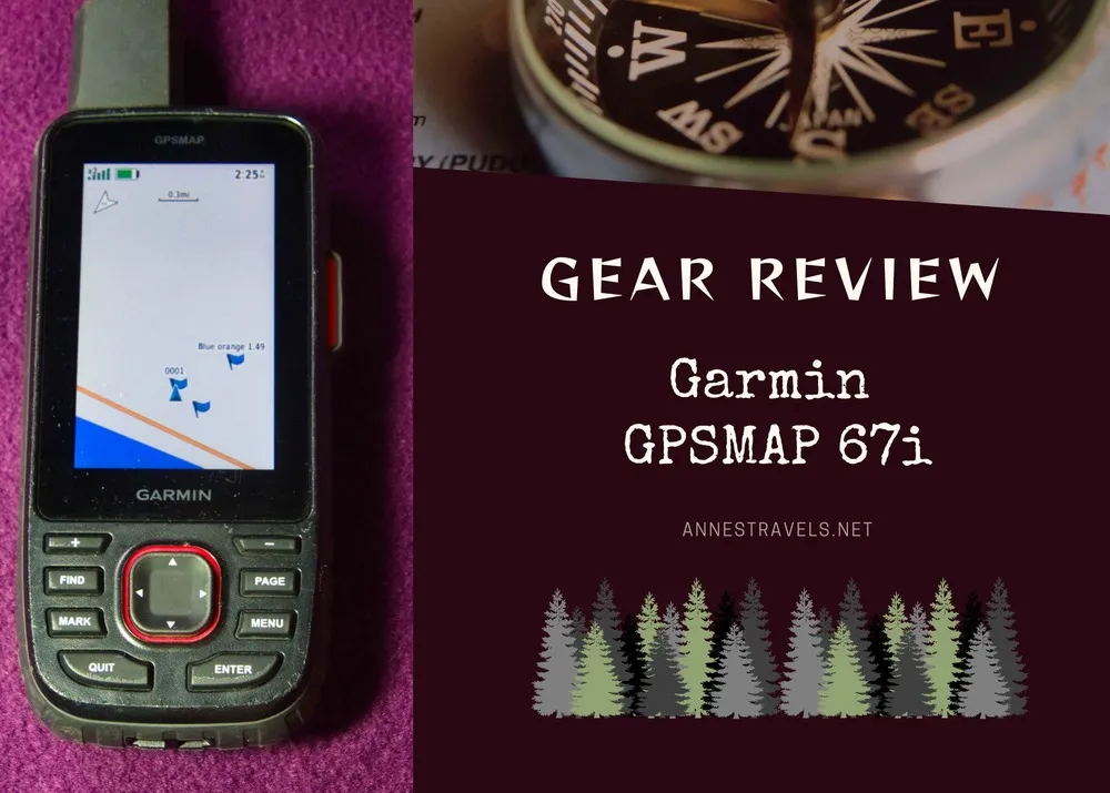
One of my “must-have” pieces of gear for any hike is my trail GPS. Currently, I use the Garmin GPSMAP 67i, an upgrade from a Garmin Montana 600. I really like the 67i’s power/accuracy, the long battery life, its hiking-friendly overall design, and its integration with a smartphone. I’m not so fond of the difficulty in loading my own maps/GPS tracks, its inability to make anything except FIT files (you might notice that all of the files I post here on the site are GPX files – we’ll get to that), and the lack of a touchscreen. But all of these have workarounds, so let’s get into the grit of the GPSMAP 67i!
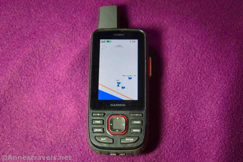
One quick note before we begin. There are actually two models of this product, the 67 and the 67i. The “i” stands for inReach satellite capability. So instead of having to buy a second product for emergency SOS, the 67i allows you to have it all in one box, so to speak. I haven’t purchased an inReach subscription yet, so I haven’t tested out this feature. Of course, if you already have or are uninterested in inReach, feel free to buy the 67 instead.
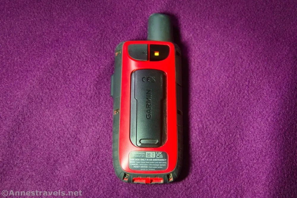
Pros of the Garmin GPSMAP 67i
- Overall shape. It fits nicely in my hand, in my camera bag, or hanging from my backpack strap. Including all of the buttons and inReach antenna, it measures 6” tall by 2.5” wide by 1.25” thick and weighs 8.5 oz. according to my highly-accurate kitchen scale.
- Overall power. You can do a lot without being connected to an external device, and it doesn’t lag.
- Battery life. I don’t usually hang out in places where I can find a power outlet, so battery life is super important to me. I found I could go close to a week of daily use (about 8-12 hours a day) before the battery was low enough that I became nervous about not recharging (we’re talking 30% or so). The battery is internal and recharges via USB.
- Accuracy. In about 8 weeks of intense use, I found it to be very accurate.
- The output FIT and GPX files are very clean. I set my record method to distance rather than time, which probably helped with the cleaner activity tracks than I had before. Again, unless I was in a very narrow canyon or one of the very few places with low connectivity, the accuracy was impressive.
- The charging cord is a standard USB-C. This doubles as a data transfer cord to connect it to a computer if you’re not using the device’s “wi-fi” connection.
- The GPSMAP 67i integrates with inReach technology, meaning that you can purchase an inReach subscription and use it with this device. I like the thought of not having to carry two devices!
- It does what I need. The 67i takes waypoints and outputs “tracks” (now called “activities;” more on that below), lets me navigate to GPS coordinates, and follow a pre-loaded GPX. That’s most of what I need, so it makes me happy!
- GarminExpress is super cool. I plug the GPS into the computer, and it automatically uploads all of my data to GarminConnect – where I can look at averages, length, maps, and more. It also automatically updates the device.
- FIT files (the native format of all exported activities) can integrate with various apps on your smartphone – I know this is super useful, but I don’t have those apps, so I can’t speak to them much more than to say that I know it’s a great spec.
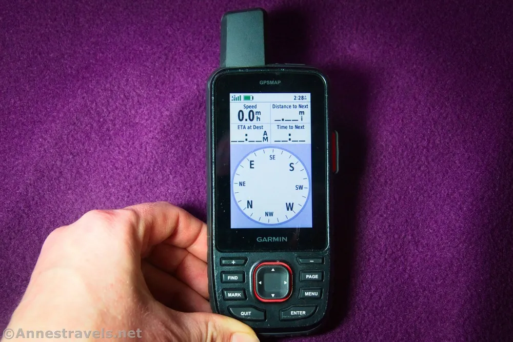
- There are a few super useful apps that I haven’t yet used much, including a compass and a flashlight. And given the battery life, I imagine the flashlight wouldn’t drain it so badly that I couldn’t map my way back to the trailhead at the same time! Get a run-through of the menus here!
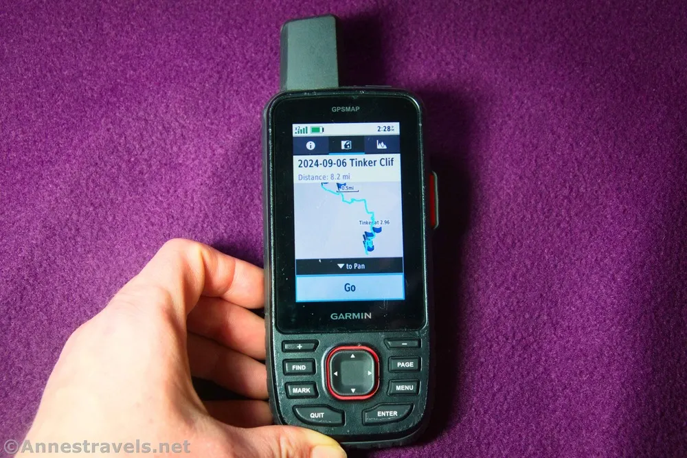
Cons of the Garmin GPSMAP 67i
- No touch screen. I was very used to typing on a soft keyboard on my Montana 600. No more. It’s certainly not impossible to type using up and down arrows, but let’s just say that I’m becoming an expert in navigating a soft keyboard with arrow keys.
- The buttons are super easy to push. This isn’t great when I stuff the GPS in my camera bag while hiking – I was constantly pushing buttons unintentionally. Thankfully, I also got the Garmin GPS Teather, so I can stick it to my backpack strap instead of putting it inside a bag.
- You really need the app to do anything when it comes to customization. Loading GPX tracks, new maps, you name it – I spent most of a Sunday morning just trying to figure out how to load the tracks for an upcoming trip (I ended up using BaseCamp software), and I still haven’t entirely figured out how to load maps. Alas, for the days when I could drag and drop them into the proper folders on the Montana 600 and it would all work.
- The GPS outputs only FIT files. It says that it’s making GPX files, too, but not that I can find. Thankfully, my friend Adam over at GPS Visualizer has a great FIT to GPX converter.
- What used to be a “track” is now an “activity.” Older Garmin GPSes allowed you to make “tracks” that would export as GPX files. Tracks are now what you make when you have an inReach subscription that shows all your friends and family exactly where you are at any given moment. What used to be a “track” is now an “activity” and exports as an FIT file. This isn’t a con so much as a confusion point when I first started using the device.
- There is a learning curve, and not everything is intuitive. Give yourself the grace to learn the system, and if you want a bit of a tutorial on how to navigate around the menus, etc., I made a video here.
I’ve included more information and how to’s in the video above – so enjoy that, too!

