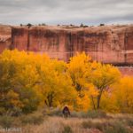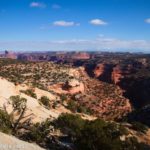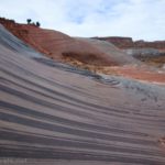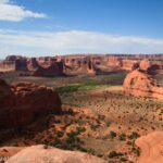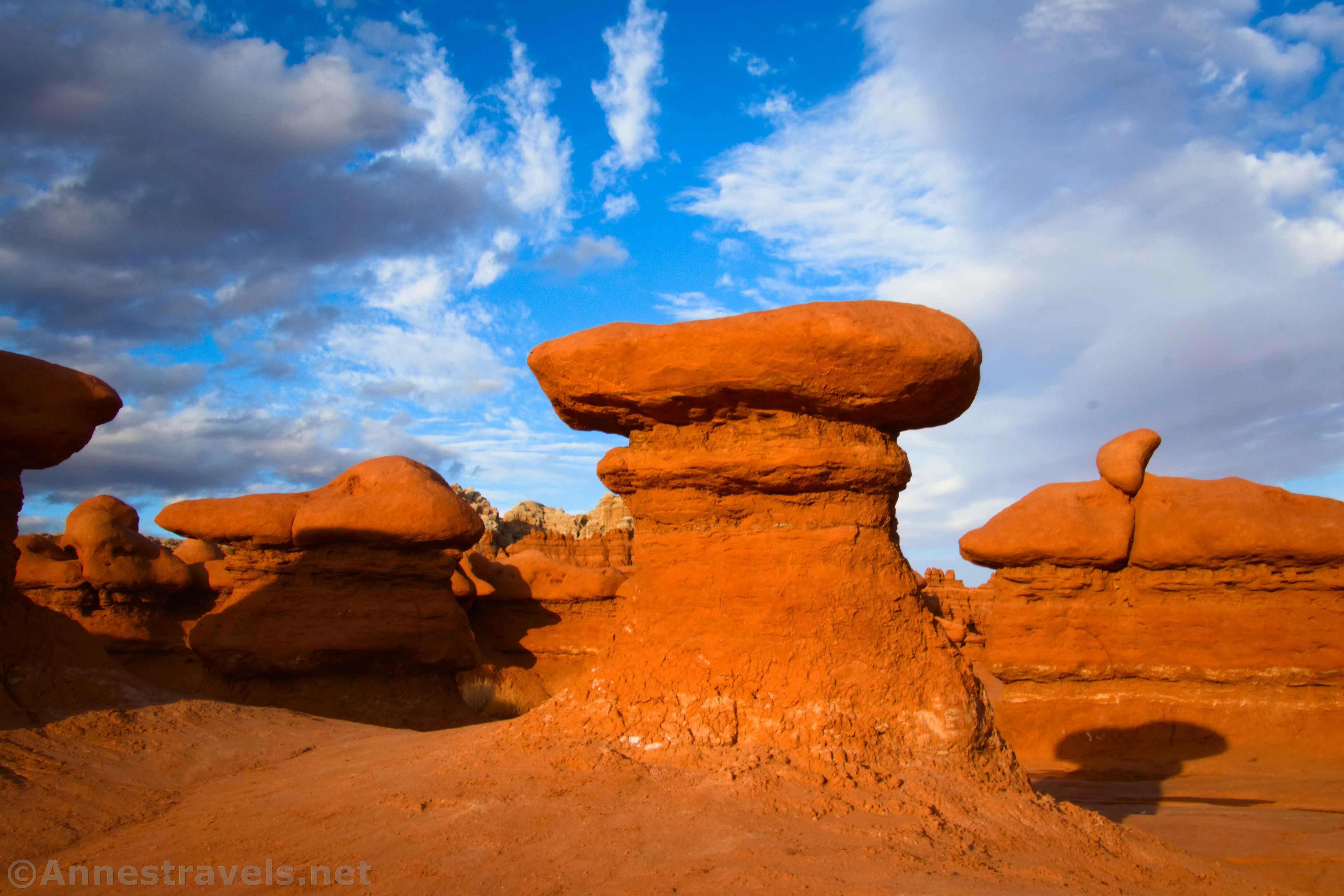
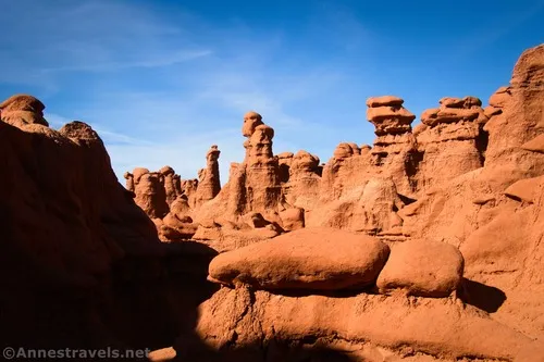
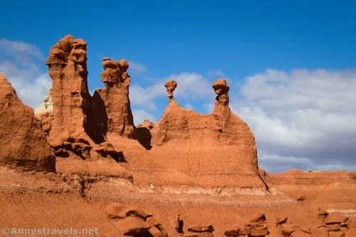
If you spend much time on forums about hiking in Utah, you’re sure to hear about Goblin Valley State Park. It’s doubly true if someone is asking about hiking with kids in Utah. You see, while there are trails (Caramel Cayon and the Goblin’s Lair were very neat), the real draw of Goblin Valley are Valley 1, Valley 2, and Valley 3 – three connected areas filled with little rock spires. I ended up exploring all three areas on one hike, and they’re all exceptional (though I do think Valley 2 has my vote for “best”). No trails access or split any of the three, so you’re really on your own out here!
Quick Stats
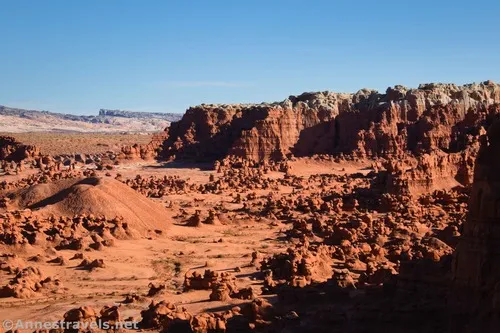
Before you start worrying about being lost, it’s a small enough area that it would be hard to get too lost as long as you have a decent sense of direction. I’d still recommend taking a GPS or (better) a compass just in case – if you get lost, you can always head north; sooner or later, you’ll run out of rock formations, at which point you can turn due left (west) to get back to the parking area.
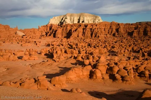
Start by descending the stairs from the parking area. There are two ways to get down: one by the restrooms at the far end and the other a little bit to the left. I recommend the left (northern) stairs, as they drop you directly into Valley 1.
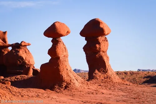
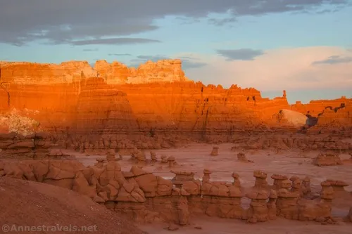
Explore to your heart’s content. Morning was fine, but I had more fun in the evening wandering around the spires and rock formations. A school group came along at one point; the teachers sent off all the kids to play hide and seek, then happily watched them play for the next couple of hours.
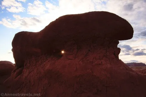
I eventually wandered right (south) after more or less heading straight across Valley 1 to the hills on the other side. (I did go left for a while, but the rock formations quickly ran out.) I scrambled up and down some of the low hills; the views were interesting from above.
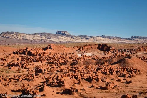
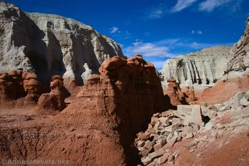
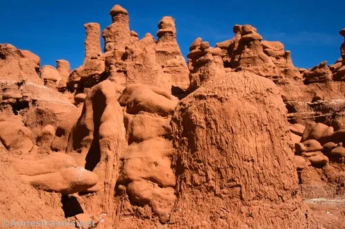
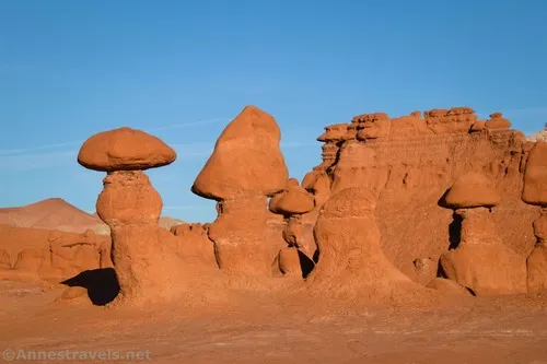
Before I knew it, I was dropping (exploring?) into Valley 2. The valley is simply chock-full of little goblins! By heading east, I found a canyon and decided to follow it upstream.
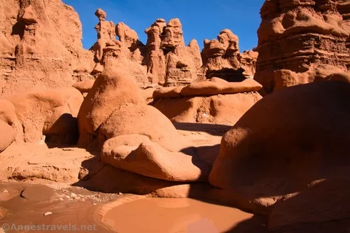
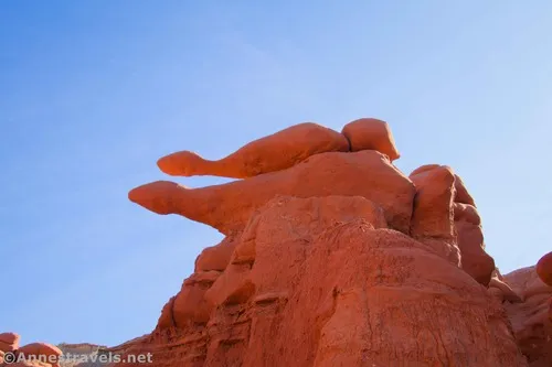
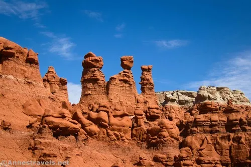
Following that canyon was one of the best decisions I made that day. The canyon itself is a fun scramble (note the scramble part), and it’s filled with spires, arches, and rock formations.
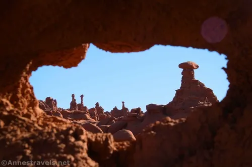
Wow!!
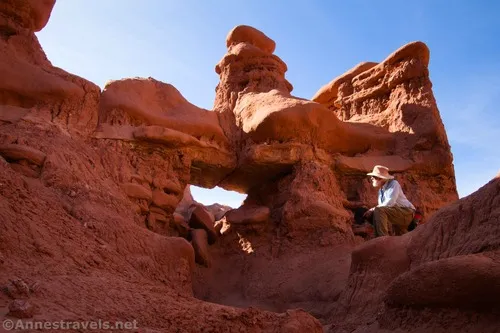
We finally reached the head of the canyon. What to do from here?
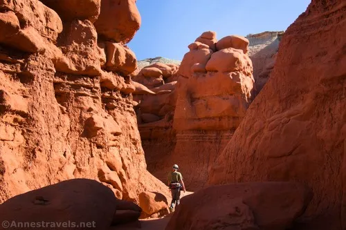
I managed via a Cass 3+ scramble to get up the last area of dryfalls and onto the mesa.
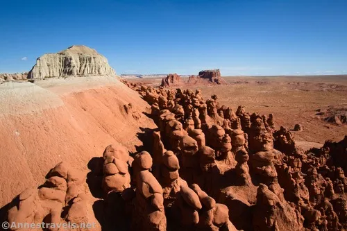
From the mesa top, we had a fantastic view. We could also look over and generally see where the top of the Goblin’s Lair would be (people do repel into it from above, but I don’t think they usually use this canyon to get up here).
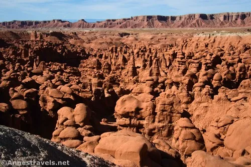
And where to go from here? Down another canyon, of course!
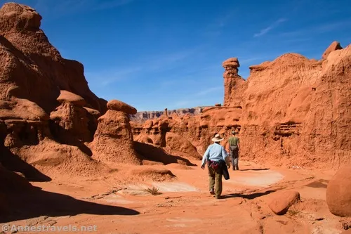
This one required a sketchy Class 4 descent down a slippery, gravelly dryfall, but we all made it down somehow. Then it was a fun scramble downcanyon with more amazing rock formations, arches, and spires!
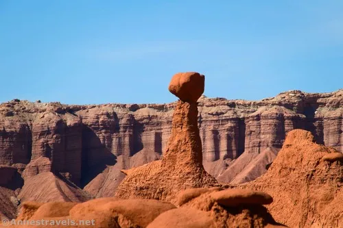
At the bottom of the canyon, we headed out through more formations, turned left up one more canyon (why not, right?), backtracked down it (it really wasn’t worth exploring), and then continued what was now left (and would have been right from the parking area; aka south) into Valley 3.
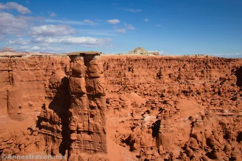
Now, what we should have done was to walk west out to the wash, then go left, then exit the wash to go up to Valley 3. However, we didn’t feel like it, so we went up and over one of the badland hills that separates the two valleys. This was not much fun, since it was steep and slippery in many places. But we did eventually make it down the other side.
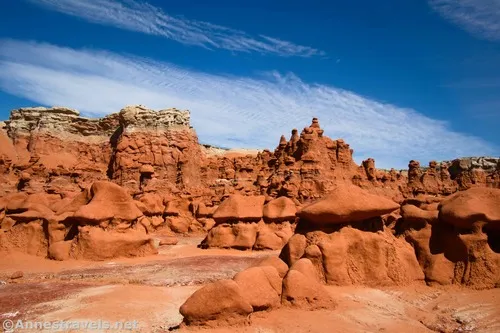
We’d actually been in Valley 3 the evening before on our way back from Red Canyon (which is an interesting adventure all on its own). Because of what we’d explored the night before, we decided to head up the first valley we found (basically heading north). This one was filled with small spires.
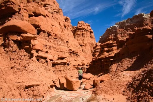
We eventually found a watercourse and followed it upstream (after all, that had worked pretty well in Valley 2). It went through a few rocks before taking us to a real, honest-to-goodness cave.
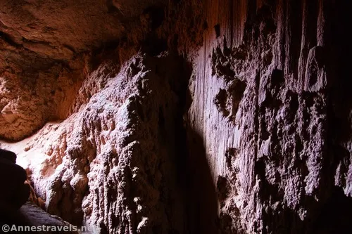
I’m really not sure that the cave was all that safe, but the dirt and rocks around it seemed solid enough (it would not be safe at all if the dirt was wet and soft). My hiking companion had brought along his headlamp against the possibility of getting caught outside after dark (not a bad idea considering the last two evenings had seen us getting back to the van at or after sunset). He used it to his best advantage (and mine) while I tried to get some slow shutter speed shots in hopes of being able to see the inside of the cave after I got home, if not right at that moment.
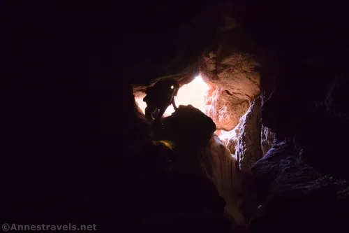
The cave didn’t go terribly far back, but we explored what we could before crawling back out. From there, we walked back down the wash, turned left (south) and found another wash that headed generally east and then north into the hills. This one was much longer, if nowhere near as good as the canyons in Valley 2. The wash wound upward between badlands, eventually plateauing in white valleys. There were no real rock formations or spires here, but it was still pretty.
By this point, the day was warm and we were tired (it was mid-afternoon). We didn’t really feel like scrambling back over hill and dale to Valley 2, so we figured we’d drop into the Red Canyon wash and hike back up. That would have been a great idea, but we ended up hiking over badland hills and down gullies until we finally dropped into the correct wash. I think if we’d headed left (south) and skirted the hills (by heading west), it would have worked out better.
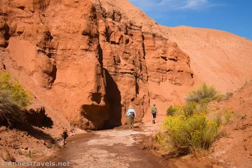
Once we were finally in the Red Canyon wash, we could turn right and follow the route (you can’t possibly call it a trail) back up to the stairway above Valley 1 to the parking lot that will end you up right by the restrooms!
Round Trip Trail Length: I went 8.75 miles – your mileage will vary considerably depending on how much you scramble around.
Elevation Gain: I did 1,305ft. (4,851ft. to 5,034ft.), but that’s probably exaggerating slightly (my GPS isn’t always 100% accurate in tight canyons)
Facilities: Restrooms at the trailhead
Fees: $20, valid until 10pm the following day. We arrived at 8am on Thursday, so our entry fee was valid until 10pm on Friday (and we made good use of it!) If you arrived at 11pm on Thursday, it would still be good until 10pm on Friday.
Trail Notes: There is no trail; it’s much more of a “what can we find when we explore?” than a “let’s find a specific feature!” Even trying to describe it here was difficult since we generally just did what looked good to us. If you follow in my footsteps, realize that there was a fair amount of scrambling in places, often up to a Class 3 and occasionally a Class 4 move. My favorite part was Valley 2, but Valley 3 was also unique and fun. The further you get from the parking area, the more chance you have to be by yourself – most people don’t even get to Valley 2, and even fewer get to Valley 3. Bring plenty of water and a compass or GPS to get back if you get lost among the formations. One of the draws of Goblin Valley is that drones are allowed (with a permit – ask at the visitor center). Sunrise and sunset are fantastic times to take pictures if you can swing it; I found sunset to be especially beautiful.
Trail 


Road 


Signs 


Scenery 


Would I go 100 miles out of my way for this? 


Overall Rating: 


GPS Coordinates for Goblin Valleys 1, 2, and 3
TH: 38.5641990°, -110.7033280° (38°33.85194′, -110°42.19968′ / 38°33’51.1164″, -110°42’11.9808″) (4,964ft.) (0.0)
Valley 1 sign: 38.5635060°, -110.7031390° (38°33.81036′, -110°42.18834′ / 38°33’48.6216″, -110°42’11.3004″) (4,948ft.) (316ft.)
Valley 2 sign: 38.5568570°, -110.7027970° (38°33.41142′, -110°42.16782′ / 38°33’24.6852″, -110°42’10.0692″) (4,903ft.) (1.68)
Valley 3 sign: 38.5497550°, -110.7024670° (38°32.98530′, -110°42.14802′ / 38°32’59.1180″, -110°42’08.8812″) (4,882ft.) (4.65)
Meet Red Canyon Trail: 38.5495700°, -110.7059600° (38°32.97420′, -110°42.35760′ / 38°32’58.4520″, -110°42’21.4560″) (4,883ft.) (7.35)
End: 38.5639230°, -110.7036990° (38°33.83538′, -110°42.22194′ / 38°33’50.1228″, -110°42’13.3164″) (4,964ft.) (8.73)
The gpx file for my exploration of Goblin Valley 1, Valley 2, and Valley 3 can be downloaded – please note that this and the GPS Coordinates are for reference only and should not be used as a sole resource when hiking this trail.
Download GPX File size: 209.9 KB Downloaded 231 times
(Note: I do my best to ensure that all downloads, the webpage, etc. are virus-free and accurate; however, I cannot be held responsible for any damage that might result, including but not limited to loss of data, damages to hardware, harm to users, from use of files, information, etc. from this website. Thanks!)
Getting to the Goblin Valley Trailhead
From the Goblin Valley State Park Entrance Station, drive south for 0.5 miles. Turn left, following the sign for the Valley of Goblins. The road will end in a parking area 0.7 miles later. The trailhead is to the right of the pavilion before you reach the restrooms.
If you also need to get to the entrance station: From I-70, take Exit 149 to UT-24. Turn south and drive 24.2 miles (this turn is on the left, 13.3 miles north of Hanksville, if you’re coming from the south). The junction will be signed for Goblin Valley State Park. Drive 5.2 miles, then turn left (stay on the paved road) for 6.4 miles to the entrance station.

More Hikes in Southern Utah
Over two hundred trails find their way into this guide to southern Utah (and a few just over the border into Colorado and Arizona). It’s also one of the few hiking guides that covers Goblin Valley as well as more popular parks. Buy your copy here!


