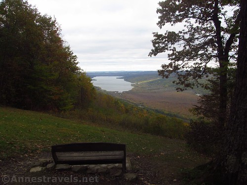
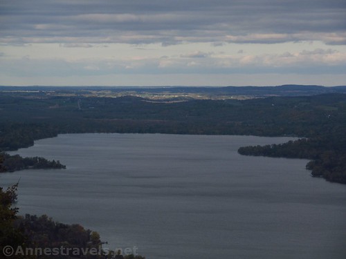
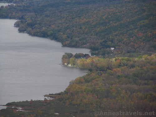
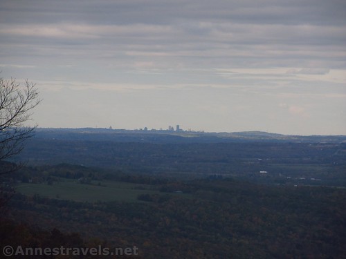
If you want a scenic scene in the Finger Lakes, I highly recommend the view over Honeoye Lake from Harriet Hollister Spencer State Park. The lake spreads out below in a forested green valley, and views extend all the way to Rochester on a clear day – actually, it wasn’t a clear day when I visited, and I still saw the Rochester skyline and Cobbs Hill.
Quick Stats
I visited Harriet Hollister Spencer State Park in the fall, right about the time the trees started turning color. It’s a wonderful time to go, but unfortunately, the day I chose wasn’t as sunny as it could have been. The hiking was still great, but as for the views over the lake… I might have to wait until a nicer day to take pictures!
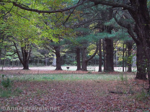
We started out at the top of the hill. There’s no official parking, but you can park along the edge of the road. (There is a fairly good-size parking area at the bottom of the road – at times (namely, in the winter) the gate may be closed and you’ll have to park down there.)
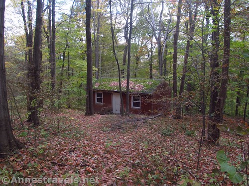
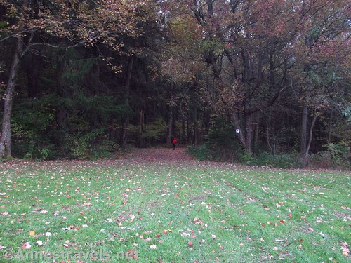
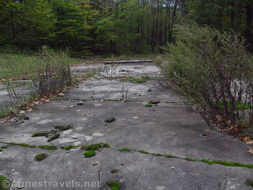
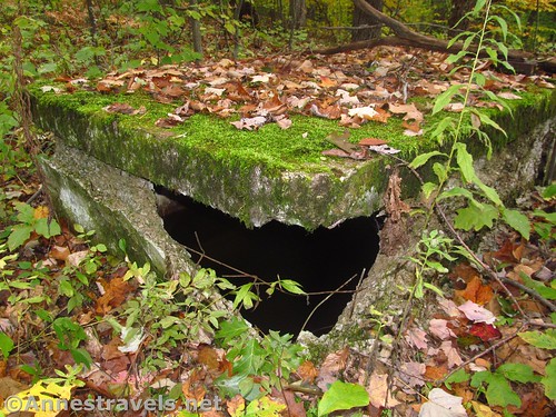
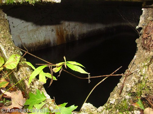
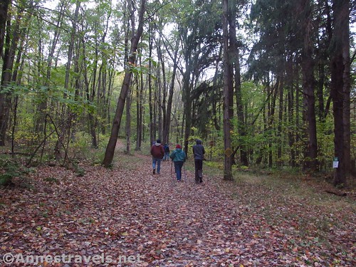
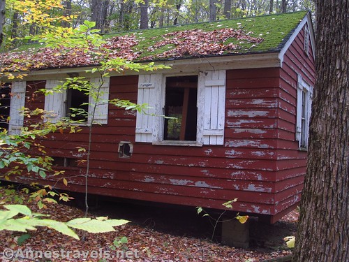
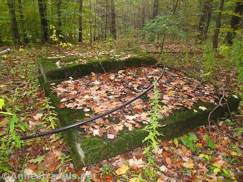
We started out (as best as I can figure it from my pictures and map) on Pines (aka Spruce Way) and then took a trail over to the Whiteface Trail. Turning right on Whiteface, we came down to a clearing where there are an old foundation and a few cabins. It took us a while to find the water tank, which is along the Chalet Trail on the south side of the clearing.
We spent quite a while wandering around the area, mostly looking for the water tank.
When we finished, we took an unofficial trail north and downhill to cross the Cannonball Trail and down to the road. From there, we walked over to the overlook (bench by a huge tree). This is where the famous pictures of Honeoye Lake are taken from.
On a clear day, this would be beautiful. As it was, it was overcast, so we took the best pictures we could, considering. There is farmland between the lake and Rochester, but the Rochester skyline was quite visible, along with Cobbs Hill.
We took the trail below the viewpoint over to Raccoon Run (or something like that) and ended up back at the top of the hill and on the other side of the loop at the end of the road from where we had parked.
On a nicer day, I can’t wait to go back and explore a few more of the trails! There is quite the network, and it would be a great place to go for a hike. The views over the lake would be better on a sunny day, so I’ll definitely have to go back.
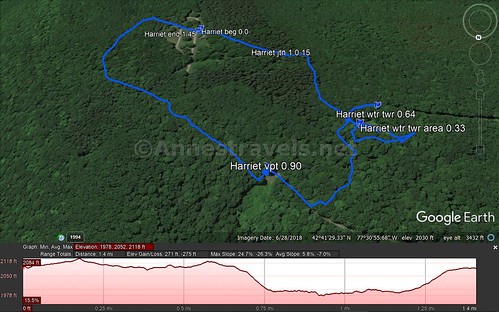
Round Trip Trail Length: I went 1.45 miles – and that included quite a bit of wandering around what was probably a camp
Net Elevation Change: 218ft. (2,091ft. to 2,309ft.)
Facilities: Primitive restrooms up at the top. There are probably more down in the lower parking area. Picnic tables and BBQ grills are available at the top of the road.
Fees: None
Trail Notes: The gates are usually closed November 20 to May 1 (snowshoeing and x-country skiing encouraged). Household pets are allowed, but they must be on a leash less than 6ft. and be inoculated against rabies. You can park right next to the overlook, so if you don’t feel like a hike, that’s fine.
Trail 


Road 


Signs 


Scenery 


Would I go 100 miles out of my way for this? 


Overall Rating: 


Key GPS Coordinates for Harriet Hollister Spencer State Park
Trail Beginning: 42.6889833°, -077.5138667° (N42° 41.339′ W77° 30.832′ / 42°41’20.3400″, -077°30’49.9200″) (2,286 ft.) (0.0) (end 1.45)
First trail junction: 42.6899000°, -077.5160000° (N42° 41.394′ W77° 30.960′ / 42°41’23.6400″, -077°30’57.6000″) (2,309 ft.) (0.15)
Old camp area: 42.6916333°, -077.5175500° (N42° 41.498′ W77° 31.053′ / 42°41’29.8800″, -077°31’03.1800″) (2,262 ft.) (0.33)
Old water tank: 42.6912667°, -077.5179167° (N42° 41.476′ W77° 31.075′ / 42°41’28.5600″, -077°31’04.5000″) (2,228 ft.) (0.65)
Overlook: 42.6923667°, -077.5159000° (N42° 41.542′ W77° 30.954′ / 42°41’32.5200″, -077°30’57.2400″)(2,091 ft.) (0.9)
The gpx file for my trek around Harriet Hollister Spencer State Park can be downloaded – please note that this and the GPS Coordinates are for reference only and should not be used as a sole resource when hiking this trail.
Download GPX File size: 29.6 KB Downloaded 150 times
(Note: I do my best to ensure that all downloads, the webpage, etc. are virus-free and accurate; however, I cannot be held responsible for any damage that might result, including but not limited to loss of data, damages to hardware, harm to users, from use of files, information, etc. from this website. Thanks!)
Getting to Harriet Hollister Spencer State Park
From the town of Honeoye, take US-20A west out of town. Turn left (south) on County Road 37. After 6.8 miles (the road will turn to dirt after the settlement of Candice; it’s still totally passable to low-clearance vehicles), turn left into Harriet Hollister Spencer State Park. You can park in the parking area here, or you can drive the steep gravel road up to the top of the hill to the picnic area.
From the town of Naples, take County Road 53 (South Main Street) south out of town; turn right on County Road 21 (Cohocton Street). After 0.7 miles, turn right onto Eelpot Road for 1.5 miles, then a slight right onto Dug Road for 1.0 miles; continue straight another 3.7 miles, then turn right onto Dutch Hollow Road for 2.0 miles. Take a slight right onto Tabors Corner Road for 0.4 miles, turn right onto Wetmore Road for 0.9 miles, and then continue straight another 1.7 miles to Harriet Hollister Spencer State Park, on the right. You can park in the parking area here, or you can drive the steep gravel road up to the top of the hill to the picnic area.
Zoom map out to browse nearby hikes & places of interest
This Week’s Featured Product!
Looking for more beautiful hikes in the Finger Lakes? Check out this guide with nearly 40 hikes across the region and central New York State.

