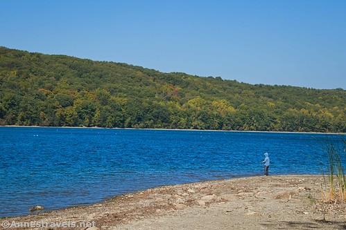
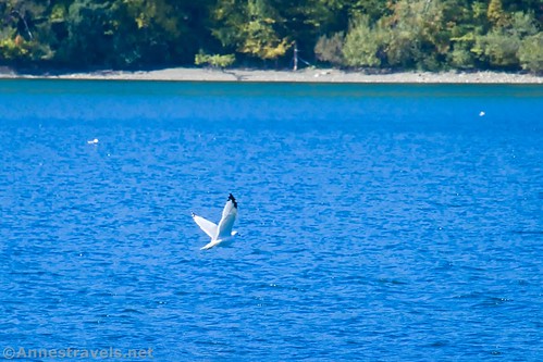
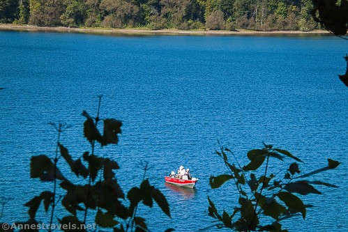
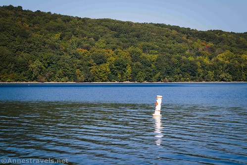
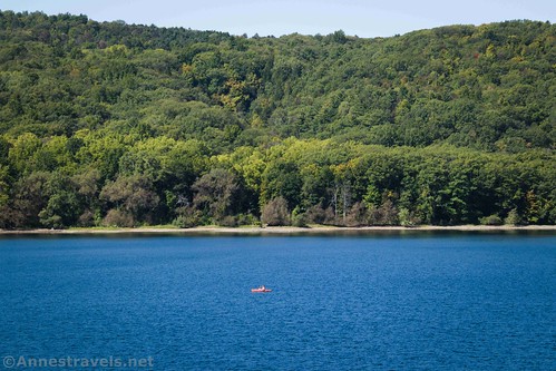
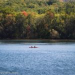
Did you know that there are trails along the shore of Hemlock Lake in the Finger Lakes Region of New York? The lake itself is popular with canoeists and kayakers because very few motorized boats are allowed on the water – it’s part of Rochester’s drinking water supply. But if you like to bike or hike, you can also wander along the lakeshore with some pretty good views over Hemlock Lake to the hills beyond.
Quick Stats
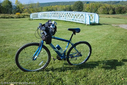
I started at the parking area at the beginning of the road down to the North Boat Launch. There is room for a few cars near the water treatment plant. We pulled out our bikes and started off down the road along Hemlock Lake’s eastern shore.
It’s about 1.1 miles from the beginning of the road down to the boat ramp. There is a fair-sized parking area here with space for a dozen vehicles or so (depending on ground clearance). This seems to be a favorite for young mothers to bring their kids to play on the gravely beach near the boat launch or to take a short hike in the woods.
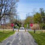
The pavement ends at the parking area, but a gate allows bicycles and hikers to continue down the gravel/dirt section of the road.
This section of the trail is quite nice, though recent rain meant that there were multiple little streams (often muddy) to cross. It looked like New York State was doing some maintenance on the road, so maybe these wet spots will be in culverts instead of running across the road in the future.
About 1.8 miles from the end of the pavement, the dirt road ends in a grassy meadow. I don’t know why it ends here vs. somewhere else. However, a trail continues south along the lakeshore. I gather it goes all of the way down to the South Boat Launch. The trouble is that it’s not especially bike-friendly, though hikers would be fine. There are just too many roots for a bike to comfortably ride on the trail.
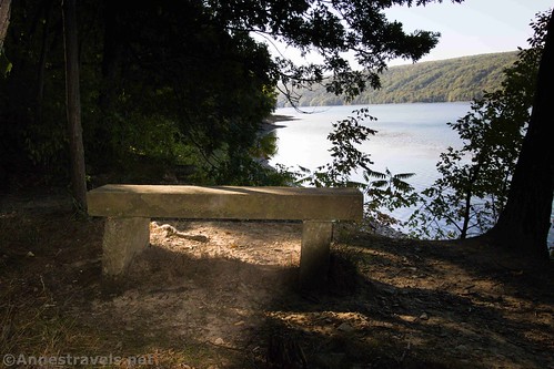
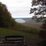
We wheeled our bicycles into the woods for about a tenth of a mile before we found a stone bench where we could sit and look out onto the lake. There was at least one person fishing, and the colors were nice on the opposite hill (it was late September when I biked here). Just a normal, beautiful, peaceful Finger Lakes view.
We went back up to where we’d parked the van, then we continued down the hill to Hemlock Lake Park (no fishing north of the North Boat Launch, including from the park). The park has a fantastic view of Hemlock Lake along with some picnic facilities, walking trails, and a gazebo (where we ate lunch).
Definitely put this park on your list – the views are outstanding! I can’t imagine what stargazing would be like here on a clear night.
Overall, I thought this trail was sub-par to the Canadice Haul Road (which we biked in the afternoon). But it was quiet and peaceful with peek-a-boo views through the trees out to the lake that make it a nice place to spend an hour or few biking or hiking (though if you’re hiking, I recommend starting from the Boat Launch parking area).
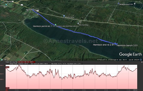
Round Trip Trail Length: I went a total of 6.0 miles just on the road/trail
Elevation Gain: 690ft. (956ft. to 906ft.)
Facilities: There may be a port-a-potty at the boat launch. There may also be restrooms in Hemlock Lake Park; the park also has picnic tables and a small playground
Fees: None. Your tax dollars at work!
Trail Notes: No fishing is allowed from the shore until you’re south of the boat launch. Do not touch the water; it’s Rochester’s drinking water supply. No camping or campfires; off-road vehicles are also not allowed. Horses are prohibited, though dogs must be under control or leashed at all times.
Trail 


Road 


Signs 


Scenery 


Would I go 100 miles out of my way for this? 


Overall Rating: 


Hemlock Lake Road/Trail GPS Coordinates
Trailhead (north end of lake): 42.7787333°, -077.6066167° (N42° 46.724′ W77° 36.397′ / 42°46’43.4400″, -077°36’23.8200″) (987ft.) (0.0)
Permit Station/North Boat Ramp: 42.7634167°, -077.6113333° (N42° 45.805′ W77° 36.680′ / 42°45’48.3000″, -077°36’40.8000″) (946ft.) (1.11)
End of Road; beginning of trail: 42.7386833°, -077.6080167° (N42° 44.321′ W77° 36.481′ / 42°44’19.2600″, -077°36’28.8600″) (953ft.) (2.91)
Bench: 42.7380667°, -077.6080333° (N42° 44.284′ W77° 36.482′ / 42°44’17.0400″, -077°36’28.9200″) (942ft.) (3.01)
End: 42.7787500°, -077.6066500° (N42° 46.725′ W77° 36.399′ / 42°46’43.5000″, -077°36’23.9400″) (954ft.) (5.98)
The gpx file for my ride along Hemlock Lake can be downloaded – please note that this and the GPS Coordinates are for reference only and should not be used as a sole resource when hiking this trail.
Download GPX File size: 39.9 KB Downloaded 146 times
(Note: I do my best to ensure that all downloads, the webpage, etc. are virus-free and accurate; however, I cannot be held responsible for any damage that might result, including but not limited to loss of data, damages to hardware, harm to users, from use of files, information, etc. from this website. Thanks!)
Getting to Hemlock Lake
From Rochester, New York, take I-390 south to Exit 10 (Avon/Lima). At the end of the exit ramp, turn left toward Lima. Drive 4.4 miles into the village of Lima and then turn right on NY-15A for 8.7 miles. Turn right onto Rix Hill Road; take an immediate left onto Boat Launch Road (continuing down Rix Hill Road will take you to Hemlock Lake Park). A parking area is on the right after 300 feet or you can continue a little over a mile down to the North Boat Launch parking area.
If you’re coming from the south, get off I-390 at Exit 3 (Wayland) and drive 6.7 miles north on NY-15 and then 10.1 miles north on NY-15A to turn left onto Rix Hill Road. Follow the directions above to the parking area.
This Week’s Featured Product!
For even more great bike rides in the Finger Lakes region of New York, check out this book. Some are short and sweet while others may require a day or more to complete – or you can always do them in parts as you have time and good weather!

