Hidden Falls is one of the famous unknown waterfalls in Big Cottonwood Canyon just outside of Salt Lake City, Utah. There is a trail, but since most of the way you’re either crossing roads or hiking up a riverbed, it’s hard to call it “well-defined.” That said, it’s also hard to get lost, because the entire thing (round trip) is less than 0.3 miles. If you have a few extra minutes in the Big Cottonwood Canyon, you’ll enjoy finding it!
Quick Stats
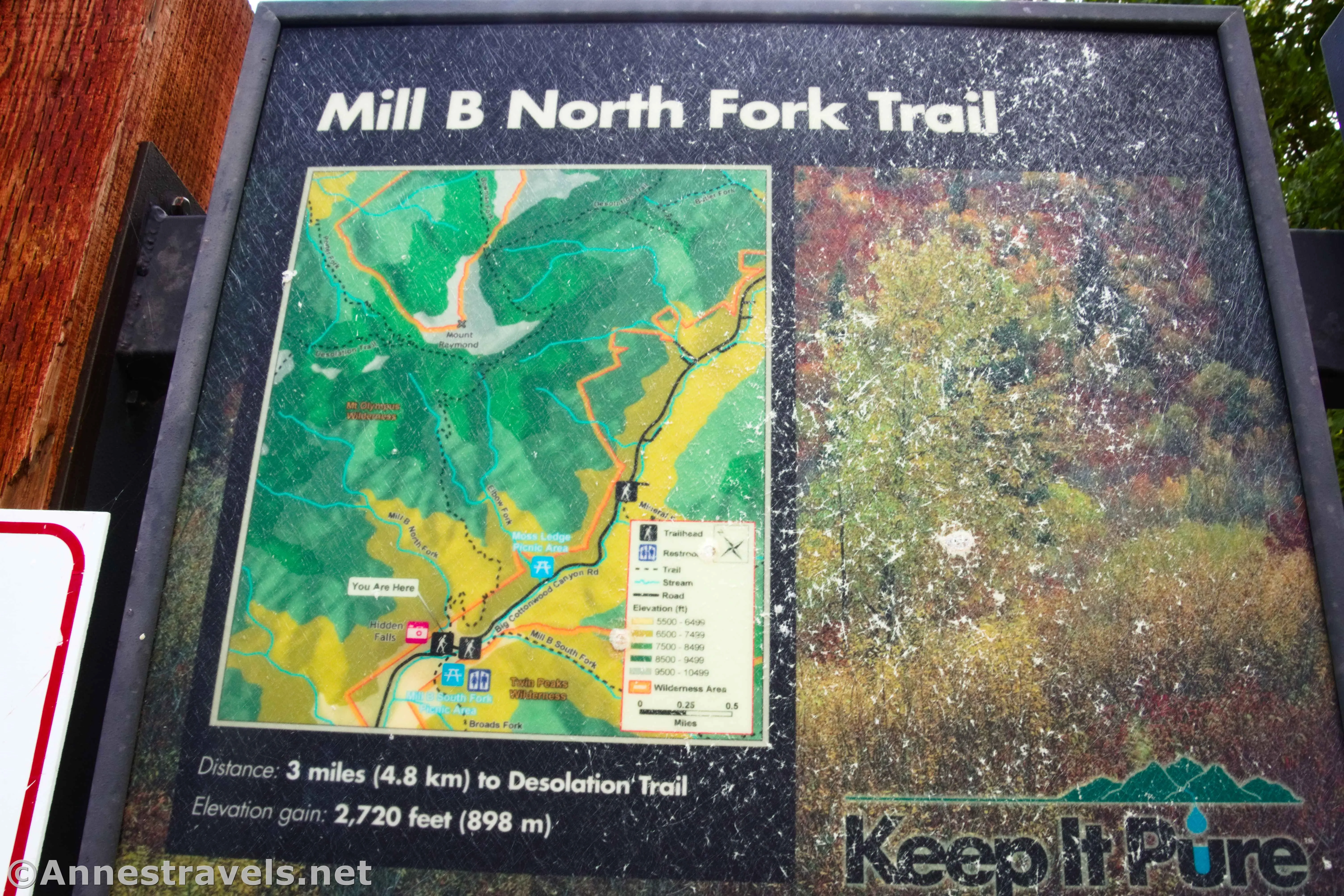
Start at the Mill B North Fork Trailhead, which is tucked into a major S-curve of UT-190. (Just below the S-curve is the Mill B South Trailhead, which is also the Lake Blanche Trailhead.) Walk uphill and follow the trail (very official) that cuts off the last part of the curve of the road. Cross the road (watch carefully – cars drive crazy fast through here, and visibility is near zero) and then enter the forest.
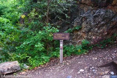
Fairly quickly after this, you’ll come to a USFS sign prohibiting the use of motorized vehicles. It also points right to Mill B North and Path to Overlook 1 to the right, while Hidden Falls turns left.
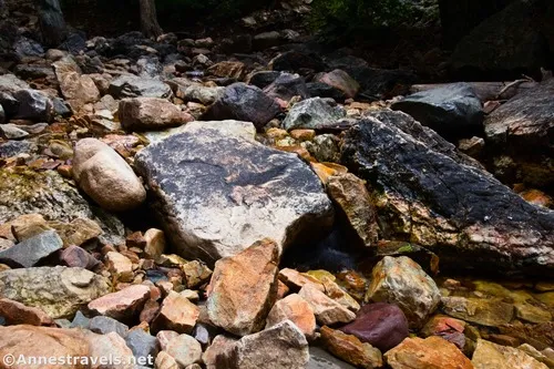
The trail heads up the valley before dropping into the streambed as the walls close into a true canyon. The boulders in the creek are larger at first, then they taper off to large gravel. I didn’t have much trouble keeping my feet more or less dry on a rainy Friday morning in late September, though I expect this could be rushing during spring snowmelt.
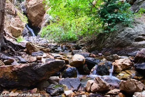
Even though you’re walking up the creek – and it’s perfectly legal, apparently – it is not legal to swim here. My understanding is that all of the water sources in Big Cottonwood Canyon are part of Salt Lake City’s water supply, so they prohibit swimming in lakes and streams.
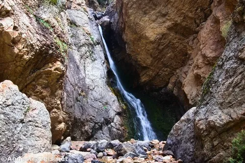
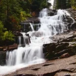
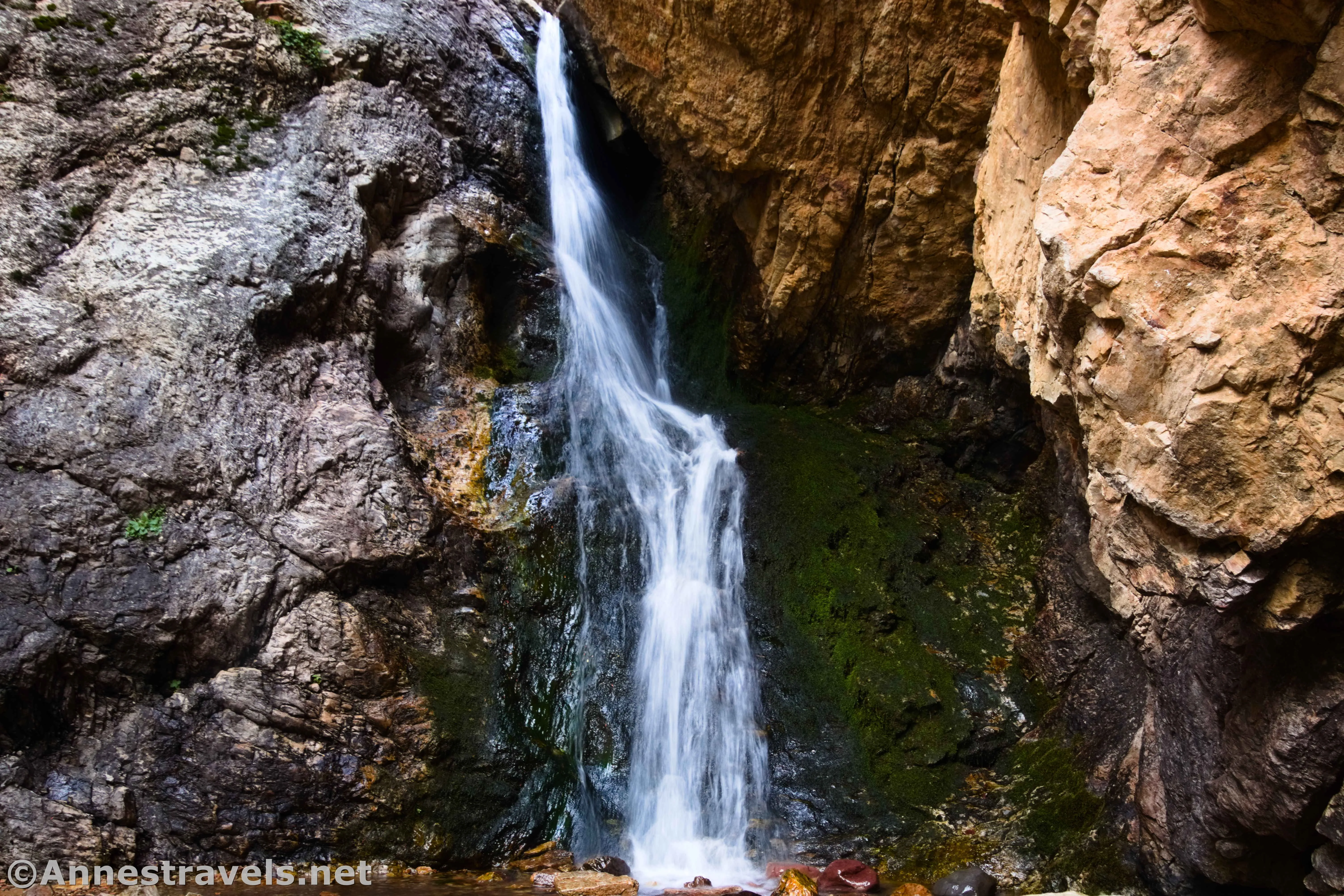
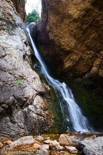
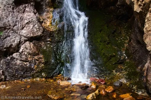
Pass a couple of small cascades (very small!) before suddenly arriving at Hidden Falls about 0.15 miles from the trailhead. It’s tucked away into a corner of the canyon, a place where the water runs down a nearly sheer rock face into the canyon below.
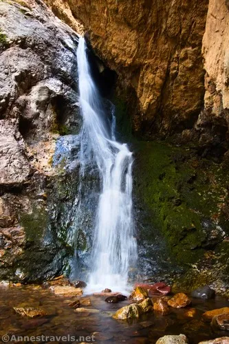
I found Hidden Falls a little difficult to photograph. First, I hadn’t brought along my tripod, so I was trying to steady my camera against rocks for some slow shutter speed shots. Also, the best view of the falls is in the waterfall’s grotto, and by then, it was hard to both keep the camera straight and get it all in the frame without turning myself into a pretzel. We did it, though, with a few tries and more than one cockeyed image!
After enjoying the waterfall, retrace your steps to the trailhead. It certainly didn’t take us very long, but it was a fun and pretty little stop along the way!
Round Trip Trail Length: I went 0.25 miles
Elevation Gain: 185ft. (6,218ft. to 6,336ft.) (this may be a little more than reality, as my GPS doesn’t love tight spaces.)
Facilities: None
Fees: None $10/vehicle for a 3 day pass, $20 for 7 days, or $60 for an annual pass (Uinta-Wasatch-Cache National Forest Pass). America the Beautiful National Parks & Federal Lands Passes are accepted.
Trail Notes: It’s pretty hard to get lost on this one as long as you find your way into the canyon (and even then, while it looked confusing, it actually wasn’t that hard to find). Remember that no swimming is allowed in the stream. The parking area can fill up quickly, but there are more spots along the road (below the trailhead). Wear sturdy shoes on this hike, as the rocks and gravel can be loose. Good grip is also appreciated – the rocks are slippery underfoot.
Trail 


Road 


Signs 


Scenery 


Would I go 100 miles out of my way for this? 


Overall Rating: 


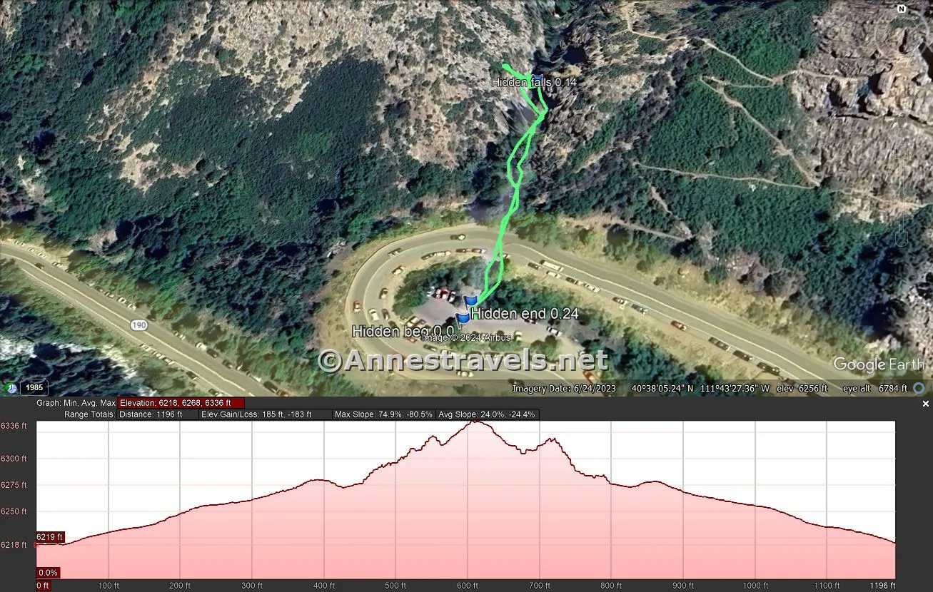
GPS Coordinates for Hidden Falls
TH: 40.6342560°, -111.7242800° (40°38.05536′, -111°43.45680′ / 40°38’03.3216″, -111°43’27.4080″) (6,215ft.) (0.0)
Hidden Falls: 40.6353110°, -111.7239160° (40°38.11866′, -111°43.43496′ / 40°38’07.1196″, -111°43’26.0976″) (6,343ft.) (0.14)
End: 40.6343200°, -111.7242510° (40°38.05920′, -111°43.45506′ / 40°38’03.5520″, -111°43’27.3036″) (6,219ft.) (0.24)
The gpx file for Hidden Falls can be downloaded – please note that this and the GPS Coordinates are for reference only and should not be used as a sole resource when hiking this trail.
Download GPX File size: 7.2 KB Downloaded 209 times
(Note: I do my best to ensure that all downloads, the webpage, etc. are virus-free and accurate; however, I cannot be held responsible for any damage that might result, including but not limited to loss of data, damages to hardware, harm to users, from use of files, information, etc. from this website. Thanks!)
Getting to the Hidden Falls Trailhead (Mill B North Fork Trailhead)
From I-215, take Exit 6 for 6200S and UT-190E. If coming from SLC on I-215S, stay left to turn left onto Big Cottonwood Road; if coming from Provo and I-215N, stay right to turn right on Big Cottonwood Road. After 0.7 miles, continue straight onto Wasatch Blvd E for another mile. Turn left onto UT-190E/Big Cottonwood Canyon Road. Drive 4.3 miles up into the mountains. At this point, the road does a major S-curve just after passing a driveway down to another trailhead on the right. In the middle of the S-curve is a small parking area – this is the trailhead for Hidden Falls.
Today’s Featured Product!
Explore the area around Salt Lake City with this book that covers everything from short strolls to multi-day hikes. History and beauty collide, along with helpful information to make sure you can find, follow, and enjoy each hike. Buy your copy here.


