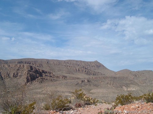
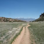
Looking for a very desert-ish trail? The Marufo Vega Trail, located in the far southeast of Big Bend National Park, is the remnants of an old sheepherders’ trail. However, it also offers nice views and, when combined with the Strawhouse Trail, a great hike in the real dry desert. Also, these trails are actually quite close to the Rio Grande, and thus demonstrate how water can be so close but the land can still be so parched. In fact, I’ve rarely seen desert so dry, except perhaps in Anza-Borrego Desert State Park. Along this loop (about 3 miles (5 km) RT), you’ll see views of Big Bend and occasional views into Boquillas Canyon, although the views of Boquillas are better from the Ore Terminal Trail (or the part of it I hiked). Even though the Marufo Vega Trail is noted for its remoteness and lack of a good trail, this section is quite well-defined and is not hard to find.
Key GPS Coordinates for the Marufo Vega / Strawhouse Trail Loop:
Parking Area: 29.199208N / -102.928025W (29N 11’ 57.1482” / -102W 55’ 40.89”)
Leaving the Wash (very approximate; follow the signs): 29.206925N / -102.930353W (29N 12’ 24.9294” / -102W 55’ 49.2702”)
Marufo Vega/Strawhouse Intersection: 29.218395N / -102.932618W (29N 13’ 6.222” / -102W 55’ 57.4248”)
Second Marufo Vega/Strawhouse Intersection: 29.224885N / -102.926043W (29N 13’ 29.586” / -102W 55’ 33.7548”)
Strawhouse Trail Enters the Canyon (approximate): 29.225072N / -102.933016W (29N 13’ 30.2592” / -102W 55’ 58.857”)
Getting to the Marufo Vega / Strawhouse Trail Loop:
From the Panther Junction Visitor Center, drive 19.4 miles (31.2 km) east on Park Rt. 12. Turn left toward Boquillas Canyon (not Rio Grande Village). Continue straight past the road for Boquillas Crossing another 2.7 miles (4.3 km) to the road to the Boquillas Canyon Overlook. Do not turn; 400 ft. (120 m) later on your right there will be a small parking area. Park here.
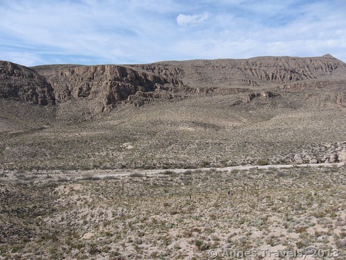
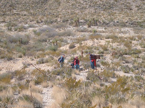
The trail begins across the road. Locate the sign that points toward the Ore Terminal Trail, the Strawhouse Trail, and the Marufo Vega Trail. The trail will parallel the wash for a short while, then drop down into the wash itself. For being a wash, it’s not too sandy, but be prepared to walk on a sandy surface. The wash winds its way into the mountains, and soon you have left civilization completely behind. There is no sound except a cicada or two and the sound of your boots on the desert sand/gravel. Erie, but my kind of hike!
After a little over a mile (1.6 km), you will see a sign on the right side of the wash. The Ore Terminal Trail goes straight, the Strawhouse Trail goes both right and straight, and the Marufo Vega Trail goes right. Exit the wash by following the trail to the right, if you want to do the trail clockwise like I did. If you want to walk it counter clockwise (the views may be slightly better, though it doesn’t matter too much), continue walking down the wash. To exit the wash, you will walk right over the wire that held the old Ore Terminal line.
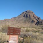
A mile and a half (2.4 km) from the trailhead (or about a half mile (0.8 km) later), you will come to where the Marufo Vega and Strawhouse Trails split ways – a sign bolted to a rock should tell you that you’ve arrived at this intersection. Follow the sign right to continue on the Marufo Vega Trail.
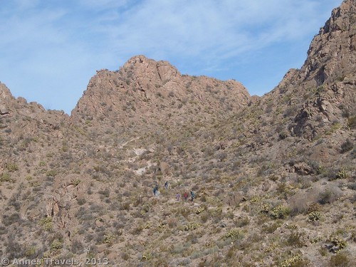
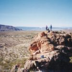
From here the trail quickly begins to ascend. Short switchbacks will take you upward. Our group was quickly running out of energy, so we stopped at an outcropping of rock near the top of the ascent for lunch. Yum!
From the top of the hill, the trail continues to ascend, though not as steeply. After another maybe half mile (0.8 km) you will intersect the Strawhouse Trail again. Turn left onto the Strawhouse Trail. (Actually, on topo maps the Strawhouse Trail doesn’t go this way at all; according to them you’ll run into the Strawhouse Trail well after turning left.) This trail will begin to descend, but not very steeply. For quite a while you will parallel the edge of a canyon, then turn to descend steeply to near the canyon floor, then basically do a U-turn from when you were paralleling the rim to walk along the canyon bottom. At last, the trail will enter the wash again near some large rocks.
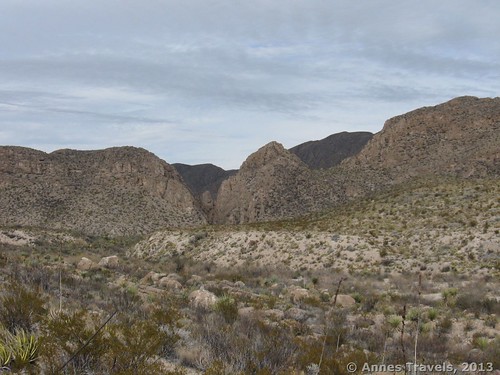
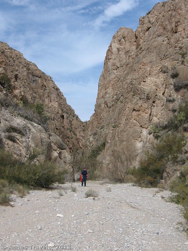
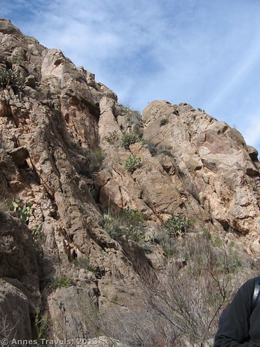
Walk through the canyon as the walls rise above you. This was one of my favorite parts of the hikes because it’s such a unique canyon. When you finally come out the other side, walk around the bend and look back. The canyon has absolutely disappeared! We were so excited to find a canyon like the one that Shasta and Aravis found after crossing the desert in C.S. Lewis’ “The Horse and His Boy”. Of course, there are more hills than in that desert, and no Mt. Pire to guide you to this canyon’s entrance.
Keep walking down the wash. Soon you will see the Ore Terminal Trail go off on your right. This is a worth-while hike; unfortunately, I didn’t make it more than a couple miles (4 km) up the trail due to the time of day, but the views of Boquillas Canyon are quite good even if the ore terminals next to the trail have fallen over. (There are also some old ore cars along the trail, as well.)
Take the Ore Terminal Trail if you want to and if you have time; otherwise keep walking down the wash. Not too far later, you will come back to the place where you exited the wash. Return by the way you came by continuing down the wash to the trail out of the wash and back across the road to your vehicle. If you miss this trail, you’ll come to the park road and know you’ve gone too far.
Unfortunately, we did this on a cloudy day which diminished the views, although this was a blessing because the trail is extremely exposed and should not be attempted during the summer. I’d love to go back during the winter and hike it on a sunny day!
Round Trip Trail Length: About 3 miles (5km) (give or take a mile (2 km))
Facilities: None
Fees: $20 fee to enter Big Bend National Park, valid 7 days. America the Beautiful (Interagency), Senior (Golden Age), Access (Golden Access), Volunteer, Military, and Big Bend Annual Passes also accepted. $10 fee (per permit, not pernight) to get a permit to backcountry camp, if that’s what you want to do (the Gravel Pit or La Clocha Campsites along the River Road would be good places to sleep before doing this hike). If you’re into more developed campgrounds, you can get a site at the Rio Grande Village Campground for $14/night.
Trail 


Road 


Signs 


Scenery 


Would I go 100 miles out of my way for this? 


Overall Rating: 


This Week’s Featured Product!
Find even more great hikes in Big Bend National Park in this guide with more than 50 trails to choose from.

Pingback: The Best Hikes in Big Bend National Park