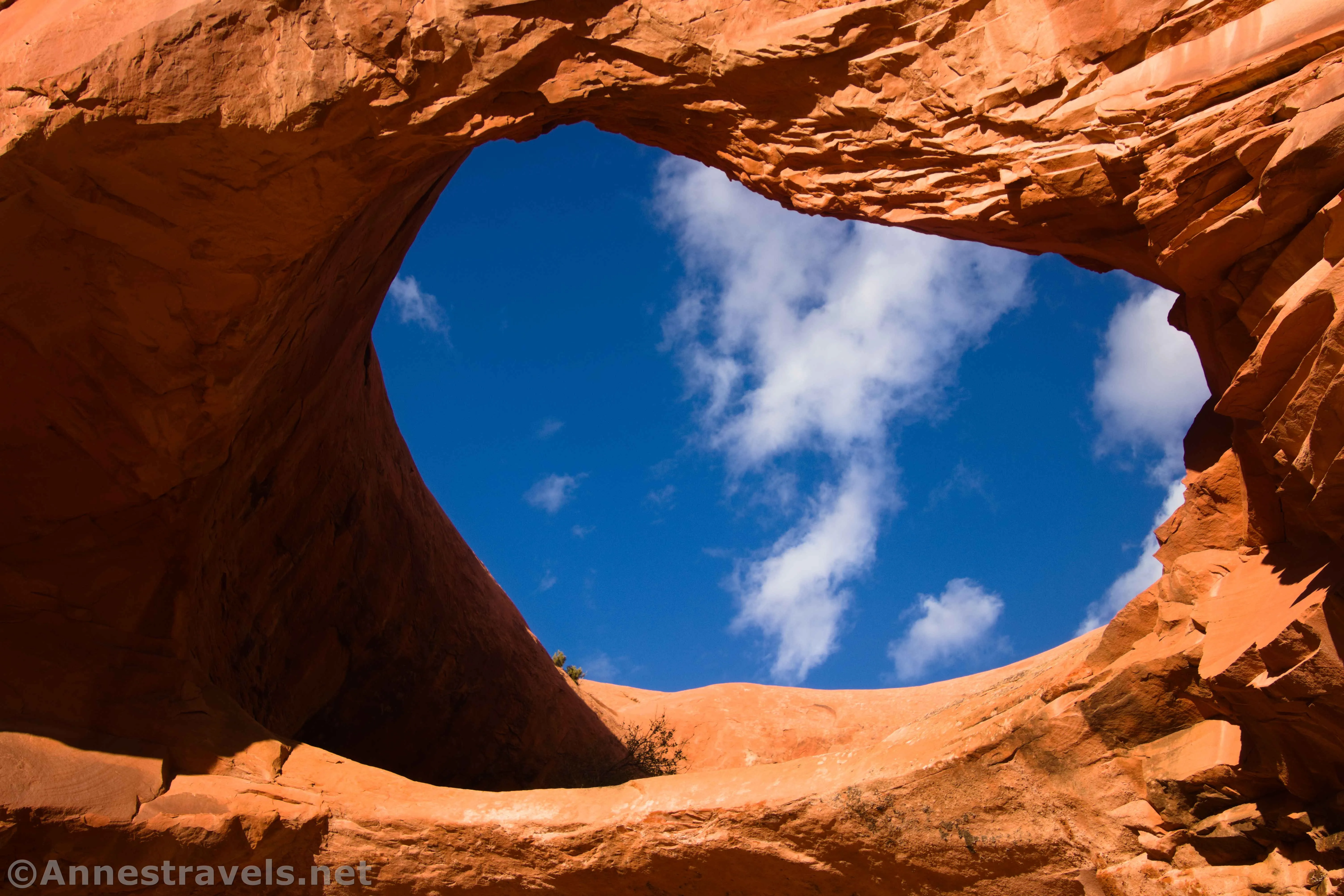
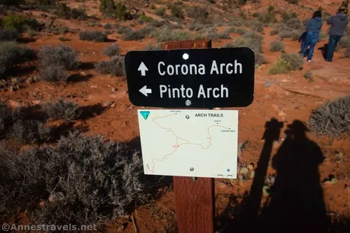
I’ve hiked to Corona Arch twice. But I’d never even heard of Pinto Arch until I was researching hikes in the Moab Area a couple of years ago. It was marketed as an off-trail trek diverging from the Corona Arch Trail that you could wayfind to if you knew what you were doing. So imagine my surprise when I arrived at the turnoff to find an official trail sign, complete with a map, and a clearly blazed trail – all of the way up to Pinto Arch!
Quick Stats
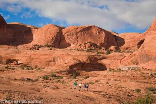
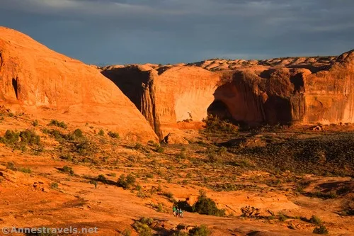
I ended up visiting on a moody evening after hiking up to Longbow Arch (another great adventure if you have time and energy). The evening light was perfect, not only for the arch, but also for spectacular views back down over the Colorado River. Corona Arch is also great at sunset, so you can do two-for-one (actually three-for-one, since you’ll hike right by Bowtie Arch just before arriving at Corona Arch) if you’d like. (Actually, I planned to zip up to Corona on our way back, but I ended up chatting with a really nice couple instead – so I don’t call it much of a loss that it was getting dark on us on our way to the parking area!)
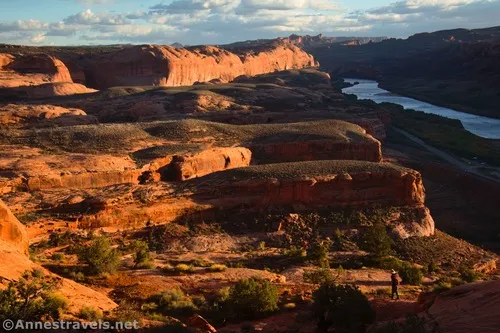
The trail begins as a steep trek up the side of the Colorado River Canyon above the Potash Road (thankfully still on the pavement section) aka UT-279. This is one part of the trail that isn’t fun in the afternoon, as it’s in direct sunlight and can be very hot!

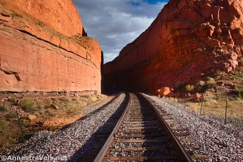
At the top of the hill, pass a sign stating that rope activities (including swinging, repelling, and climbing) are not allowed around Corona Arch. Then cross over the train tracks – while the tracks aren’t used very often (twice a week, last I knew), you should still look both ways – believe me, trains can’t stop in time! The tracks are quite scenic.
After crossing the tracks, the path winds up into the slickrock. Because of the increased popularity of Corona Arch in the last 10 years or so (sorry to be the “back in the day” person, but I remember when it was virtually unknown back in 2007), the trail is in quite good shape and built for traffic.
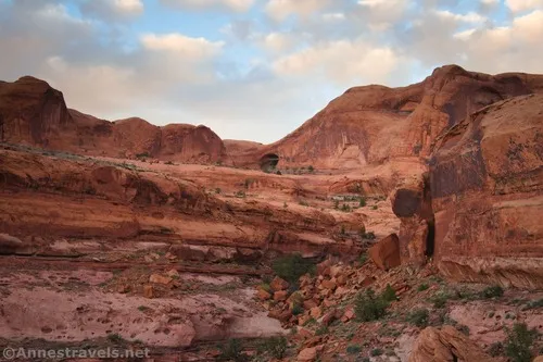
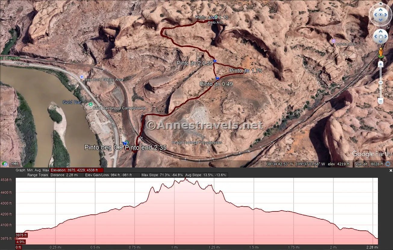
After half a mile, the trail splits at a well-marked junction. The Pinto Arch Trail turns left here, while right continues up to a cutoff trail to the Pinto Arch Trail and then to Bowtie and Corona arches. Turn left; a tenth of a mile later, ignore the cutoff junction coming in from the right.
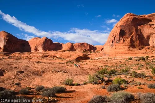
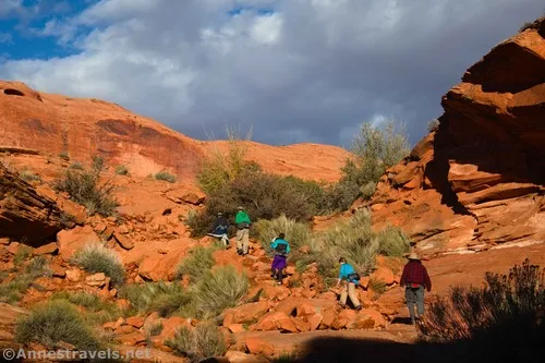
From here, the route rises to a higher bench of the slickrock via a long switchback. Even though most of the trail is across solid rock, it’s well-marked with splotches of green paint (the BLM’s current approach to marking trails in the area).
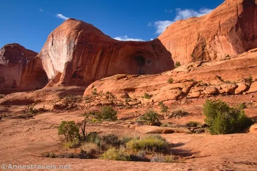
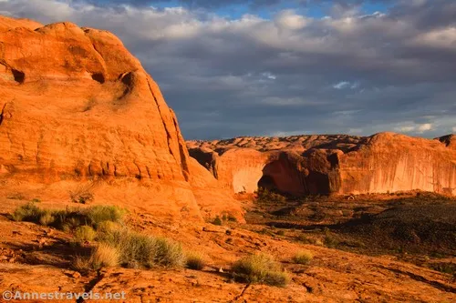
While it looks like you’re heading for a deep alcove more or less straight ahead, this isn’t an arch (yet!). Instead, you’ll be heading for the bend in the cliff on the far right. This isn’t a very good description, so you might just want to keep following the paint. As you hike, be sure to look back down on the Colorado River Gorge – it’s amazing!

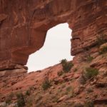
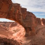
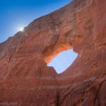
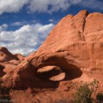
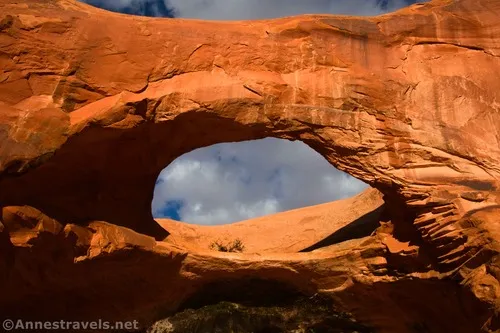
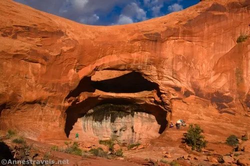
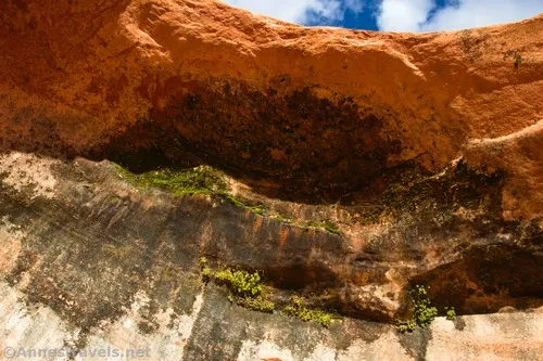
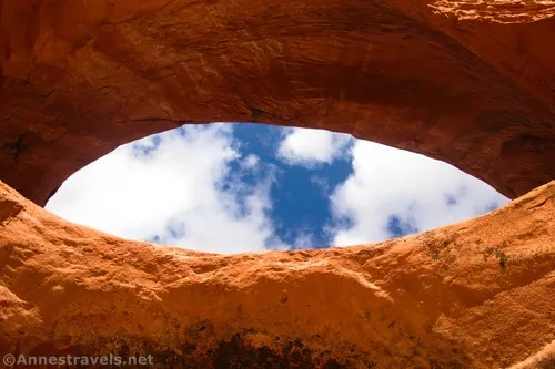
Once on top of the higher bench, it’s an easy hike back along the bench to its end against the cliff wall and Pinto Arch. The arch is unique in that it has a shelf below the opening.
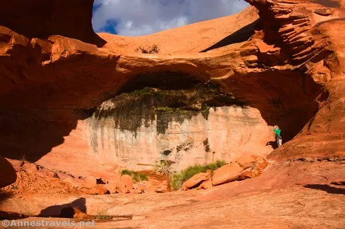
It’s hard to get a good viewpoint of the arch for photographs, but I tried anyway and didn’t exactly not succeed.
Views from up here are very different of the Colorado River Gorge, but they’re no less beautiful, even if they’d probably be better (from a lighting perspective) in the morning.

While Pinto Arch isn’t as popular as Corona Arch, we still had plenty of company in mid-October. In fact, we spent so much time chatting with two of the other hikers that we almost didn’t get back before dark – but thankfully, they realized the time, so we got to retrace our steps in the golden-hour sunset instead!
Round Trip Trail Length: I went 2.3 miles, but I probably wracked up a tenth of a mile by walking around Pinto Arch (my GPS doesn’t love being right up against cliffs).
Elevation Gain: 984ft. (3,975ft. to 4,538ft.)
Facilities: Primitive restroom at the trailhead; campground across the road.
Fees: None
Trail Notes: This is a very exposed hike; I recommend doing it at cooler times of year (October-April) and at sunset to avoid the worst of the heat. Keep your eyes open for the trail markers; I lost my way a few times because I thought I knew better than the trail blazers. I highly recommend also going up to Corona Arch and would have done it myself if I hadn’t run out of daylight (though I hear lying under the arch and looking up at the stars is an experience not to be missed!)
Trail 


Road 


Signs 


Scenery 


Would I go 100 miles out of my way for this? 


Overall Rating: 


GPS Coordinates for Pinto Arch
Corona Arch TH: 38.5744220°, -109.6323340° (38°34.46532′, -109°37.94004′ / 38°34’27.9192″, -109°37’56.4024″) (3,992ft.) (0.0)
Pinto Arch Trail Junction: 38.5776340°, -109.6274560° (38°34.65804′, -109°37.64736′ / 38°34’39.4824″, -109°37’38.8416″) (4,203ft.) (0.49)
Trail Junction: 38.5788340°, -109.6275530° (38°34.73004′, -109°37.65318′ / 38°34’43.8024″, -109°37’39.1908″) (4,234ft.) (0.59)
Pinto Arch: 38.5816740°, -109.6275860° (38°34.90044′, -109°37.65516′ / 38°34’54.0264″, -109°37’39.3096″) (4,538ft.) (1.10)
Corona Arch Trail Junction: 38.5780900°, -109.6256830° (38°34.68540′, -109°37.54098′ / 38°34’41.1240″, -109°37’32.4588″) (4,233ft.) (1.75)
End: 38.5744150°, -109.6323500° (38°34.46490′, -109°37.94100′ / 38°34’27.8940″, -109°37’56.4600″) (3,991ft.) (2.35)
The gpx file for Pinto Arch can be downloaded – please note that this and the GPS Coordinates are for reference only and should not be used as a sole resource when hiking this trail.
Download GPX File size: 44.5 KB Downloaded 54 times
(Note: I do my best to ensure that all downloads, the webpage, etc. are virus-free and accurate; however, I cannot be held responsible for any damage that might result, including but not limited to loss of data, damages to hardware, harm to users, from use of files, information, etc. from this website. Thanks!)
Getting to the Corona Arch Trailhead (Pinto Arch Trailhead)
From Moab, drive north on US-191 (toward Arches and the Colorado River). Just after crossing the Colorado River (and before you get to the entrance to Arches National Park), turn left onto UT-279. Drive 9.9 miles to the Gold Bar Campground on your left; the Corona Arch Trailhead will be on your right just after the campground entrance – if you get to the Gold Bar Group Campsite, you’ve gone too far.
Today’s Featured Product!
Short hikes around Moab lead to a variety of views and features, from dinosaur tracks to waterfalls to rock formations and arches. With 30 hikes to choose from, you can pick and choose your next adventure. Buy your copy here!


