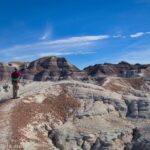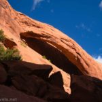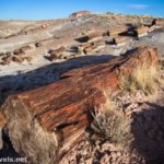
Petrified Forest is known for the Painted Desert and its petrified wood. However, beyond those worthy features are a few other things to see. Puerco Pueblo is the remains of an ancient civilization that once lived in the area, and while it doesn’t compare to places like Pueblo Bonito (I’ve yet to find very many places that even come close to comparing to Pueblo Bonito) in Chaco Canyon, there are quite a few walls poking out of the dirt. Beyond this, you also get to see a historic building built by the CCC’s – and some really great rock art!
Quick Stats
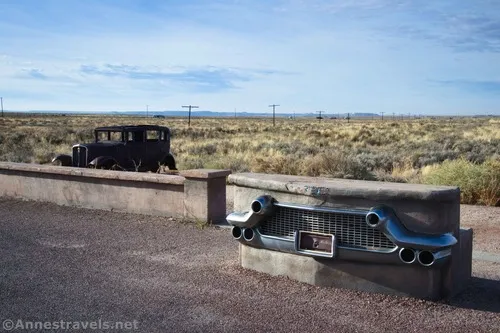
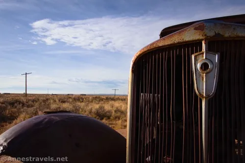
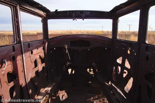
We drove into the main park entrance (near the Painted Desert) about as soon as they opened the entry gate in the morning in mid-November. There were a few overlooks along the way, but the only one worth mentioning was the old 1932 Studebaker at the Route 66 pulloff.
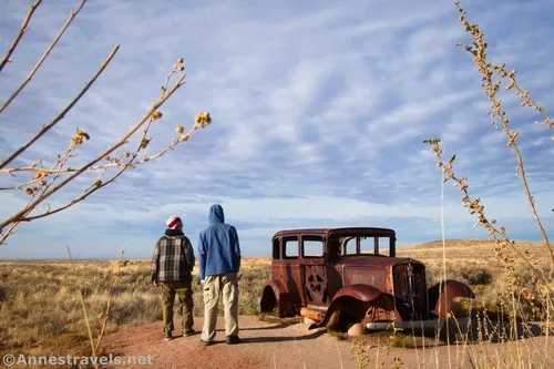
It was just way too much fun to photograph!
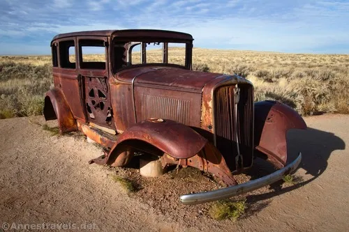
And you could see where the old road used to go (the Route 66 Alignment), not only by the telegraph poles, but also because of the old road grade that you can see paralleling I-40 across the desert.
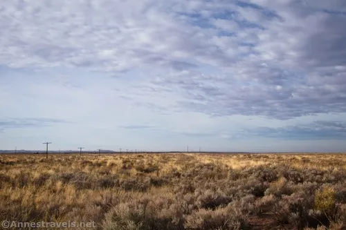
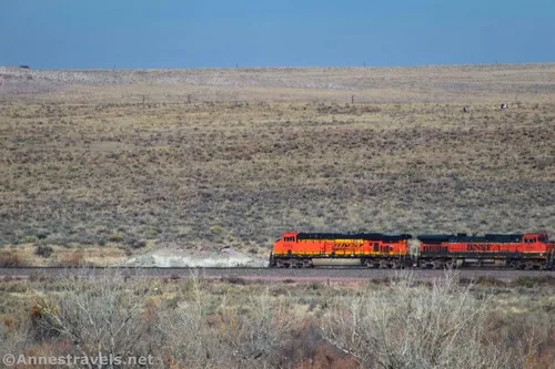
Anyway, Puerco Pueblo is a little bit south of the Route 66 Alignment – cross over I-40 on a bridge and then over the railroad tracks 4.5 miles later. I saw a BNSF train on the tracks later while we were exploring the pueblo.
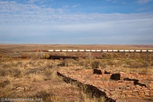
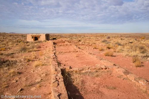
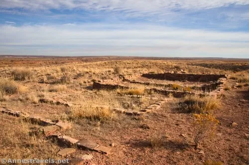
The trail itself is an easy stroll up from the parking area; I turned left at the first junction to the first of the walls. There are a few signs and an instructional pamphlet about the culture and history of the pueblo that once stood here. The first thing you’ll see is a kiva, but the trail loops around the other side of the pueblo.
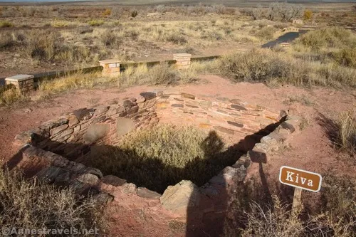
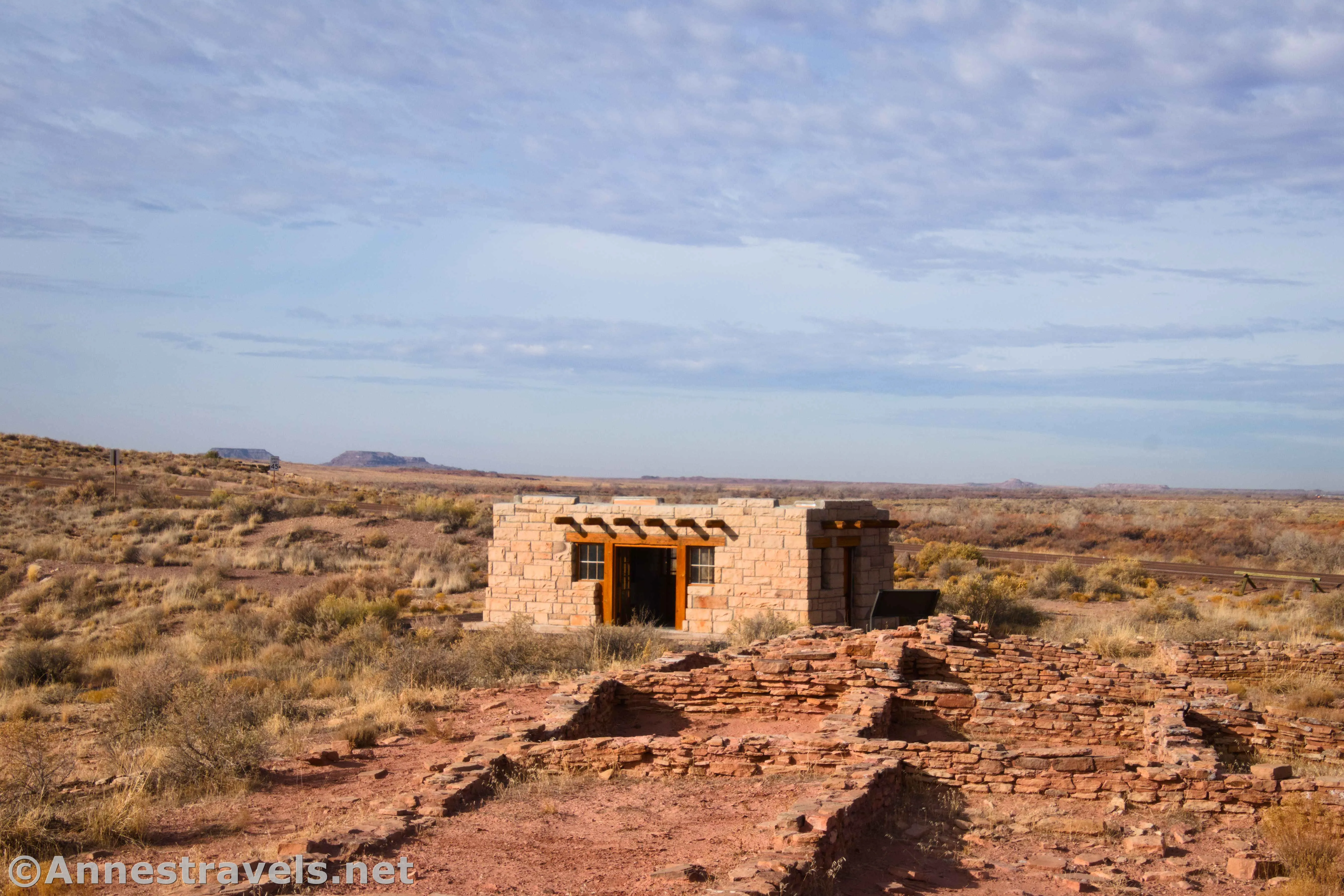
I found the walls to be quite photogenic on a winter morning – we were the only visitors for most of the time we were there.
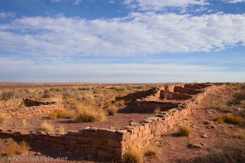
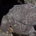
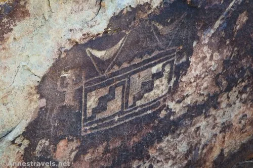
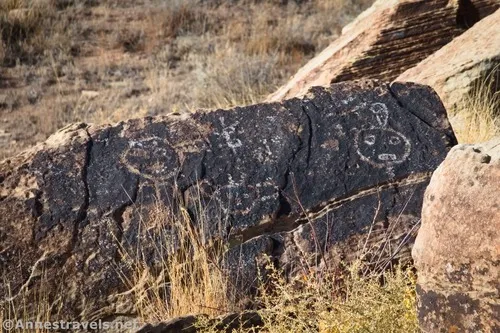
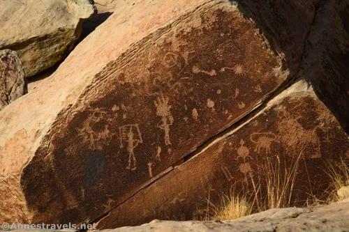
The trail winds through the pueblo, then descends to another junction. Turning left will take you to a sign about the CCCs and the rock art, which I found to be quite nice as rock art goes. There’s also a summer solstice marker – I wasn’t even close to the summer solstice, but it was still neat to see!
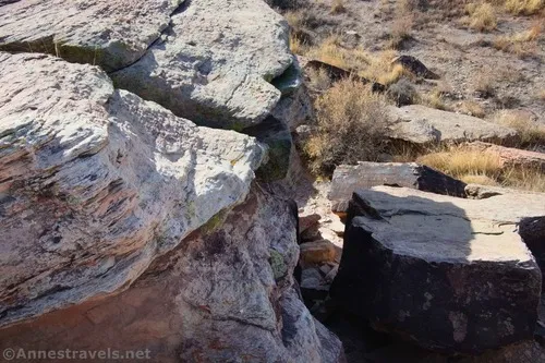
Hiking back up toward the very intact stone building, there were more overlooks of rock art.
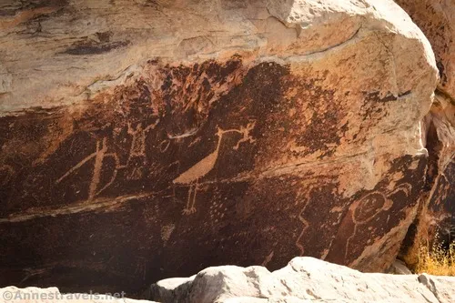
It was fascinating to see all of the different art styles. They say that the various art was created by traveling artists. I don’t know if it’s true, but it’s certainly one explanation for the variety in style.
The intact stone building was built by the CCCs. It seems to have had various functions over the years, including an entrance station for early visitors (this was the northern boundary of Petrified Forest in the 1930s), a visitor center, and a restroom. In 2005, the park decided to restore it to its 1940s appearance.
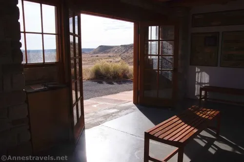
From here walk back up to the end of the loop and back to the parking area – it’s not a long hike, but I did enjoy the rock art enough that I’d hike it again.
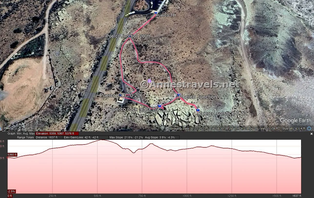
Round Trip Trail Length: 0.3 miles
Elevation Gain: 42ft. (5,359ft. to 5,376ft.)
Facilities: Primitive restrooms
Fees: $25/vehicle, valid 7 days. America the Beautiful National Parks & Federal Lands Passes are accepted. Note that though cash is legal tender, debit and credit cards are the only accepted form of payment.
Trail Notes: The path is paved, but some of the hills are a little steep in places. It is considered wheelchair accessible. We took our time and spent maybe half an hour exploring, reading the signs, and discussing the rock art and solstice marker.
Trail 


Road 


Signs 


Scenery 


Would I go 100 miles out of my way for this? 


Overall Rating: 


GPS Coordinates for Puerco Pueblo
TH: 34.9759200°, -109.7939430° (34°58.55520′, -109°47.63658′ / 34°58’33.3120″, -109°47’38.1948″) (5,359ft.) (0.0)
Trail Junction: 34.9755000°, -109.7943340° (34°58.53000′, -109°47.66004′ / 34°58’31.8000″, -109°47’39.6024″) (5,364ft.) (200ft.)
Rock art junction: 34.9746860°, -109.7936540° (34°58.48116′, -109°47.61924′ / 34°58’28.8696″, -109°47’37.1544″) (5,368ft.) (0.11)
Solstice marker viewpoint: 34.9745180°, -109.7934200° (34°58.47108′, -109°47.60520′ / 34°58’28.2648″, -109°47’36.3120″) (5,360ft.) (0.13)
Rock art exhibit: 34.9745610°, -109.7939060° (34°58.47366′, -109°47.63436′ / 34°58’28.4196″, -109°47’38.0616″) (5,364ft.) (0.17)
CCC building: 34.9746720°, -109.7943930° (34°58.48032′, -109°47.66358′ / 34°58’28.8192″, -109°47’39.8148″) (5,369ft.) (0.20)
End: 34.9759200°, -109.7939430° (34°58.55520′, -109°47.63658′ / 34°58’33.3120″, -109°47’38.1948″) (5,359ft.) (0.31)
The gpx file for Puerco Pueblo can be downloaded – please note that this and the GPS Coordinates are for reference only and should not be used as a sole resource when hiking this trail.
Download GPX File size: 5.2 KB Downloaded 36 times
(Note: I do my best to ensure that all downloads, the webpage, etc. are virus-free and accurate; however, I cannot be held responsible for any damage that might result, including but not limited to loss of data, damages to hardware, harm to users, from use of files, information, etc. from this website. Thanks!)
Getting to Puerco Pueblo
From I-40, take Exit 311 toward Petrified Forest National Park. Follow the road through the gate and then past the visitor and through the entrance station. 10.6 miles later, turn left into the parking area for Puerco Pueblo.
The pueblo parking lot is also 15.2 miles north of the Rainbow Forest Museum.
Today’s Featured Product!
Explore some of the best trails Arizona has to offer with this guide. With short trails as well as much longer hikes, there’s something for everyone. Buy your copy here.


