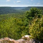
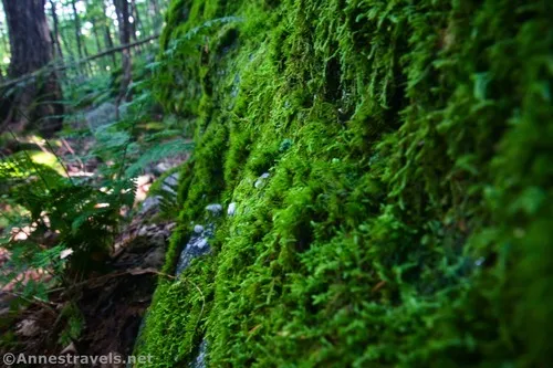
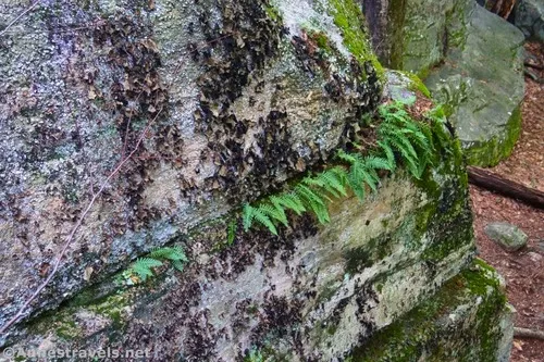
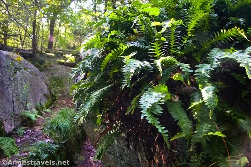
Before I headed out on the Canyon Vista Trail in Worlds End State Park, I noticed a sign across the road from the parking area (Loyalsock Canyon Vista) that pointed toward the Rock Garden. Curious, I walked over to see what it was all about. I didn’t explore too much (I had a hike to take!), but it was fun to wander and scramble around the boulders. There was an abundance of moss and ferns, which always makes me love a forested area!
Quick Stats
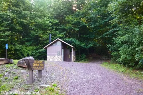
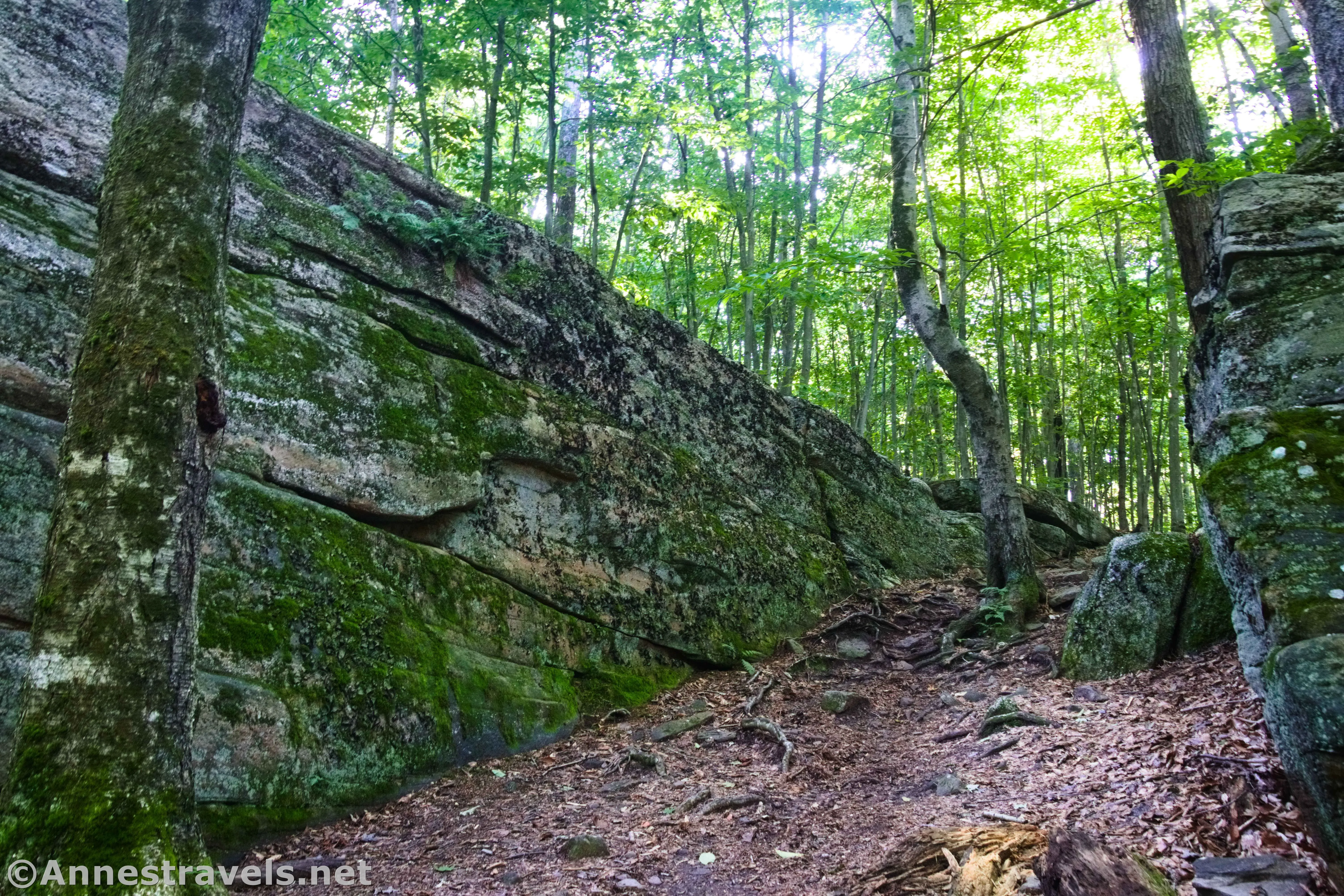
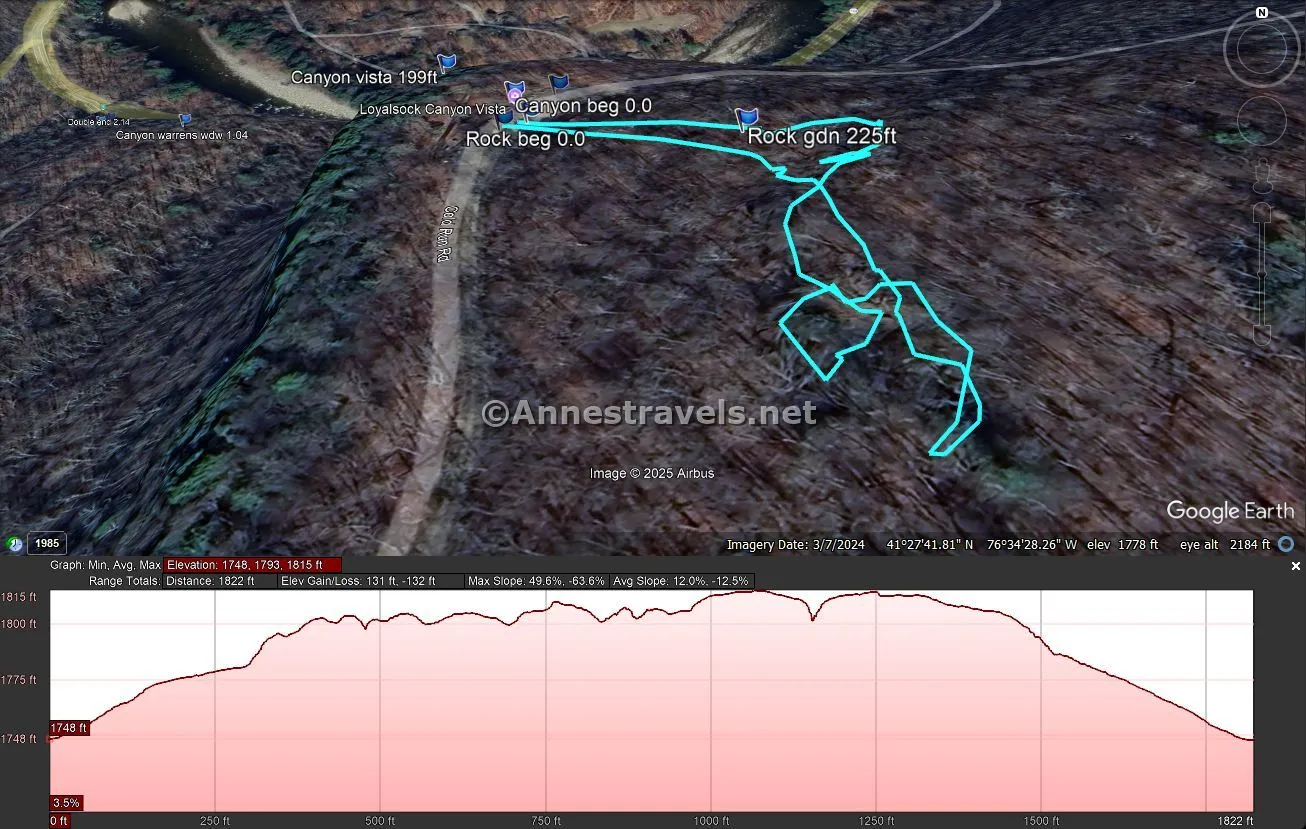
The trailhead is the service road up to the restrooms directly across the road from the Loyalsock Canyon Vista (well-signed). Walk past the vault toilet and the trail will disappear almost as soon as it enters the forest – now it’s time to explore!
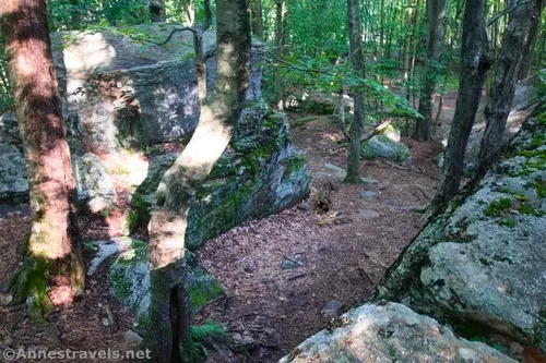
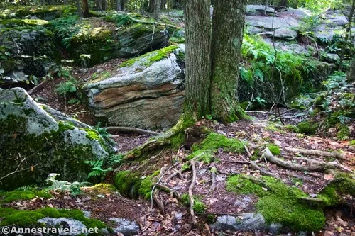
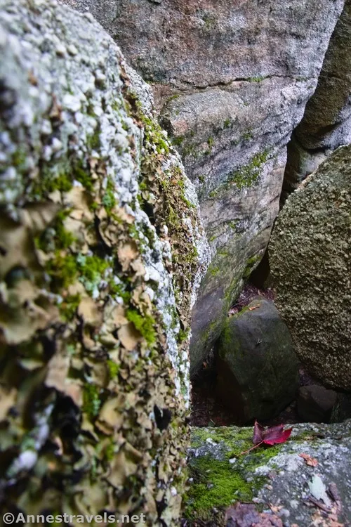
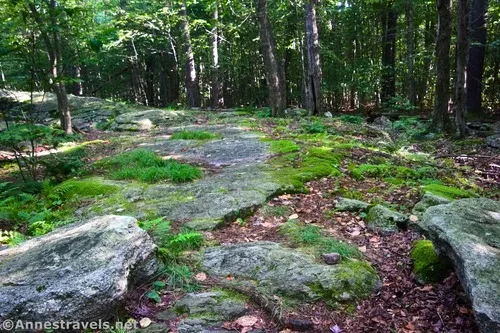
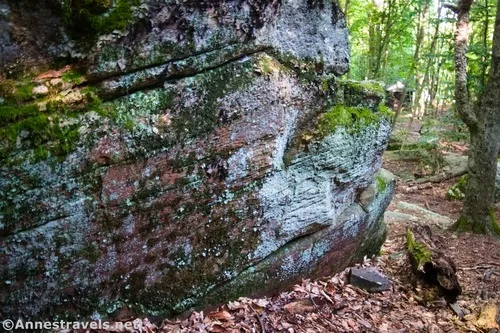
The path drops you into an enclosed space between several boulders. The trees crowd in, and the rocks are covered in moss.
You’re free to wander around the massive boulders. I enjoyed finding mossy corners, tree roots, and ferns in the cracks in the rocks. Some people say that they enjoy free climbing on the rocks. I won’t detail exactly what I did (how do you describe a fast-paced wander?), but I managed to hike up between the rocks and then wander around on top of them.
Round Trip Trail Length: Varies; I went 0.4 miles
Elevation Gain: I went 132ft. (1,748ft. to 1,815ft.)
Facilities: Primitive restroom at the trailhead
Fees: None
Trail Notes: There is no trail. Use caution, as the rocks can be slippery at times. While you’re here, make sure to check out the Loyalsock Canyon Vista across the road – it’s a great view!
Trail 
![]()
![]()
![]()
![]()
Road ![]()
![]()
Signs ![]()
![]()
![]()
Scenery ![]()
![]()
Would I go 100 miles out of my way for this? ![]()
![]()
![]()
Overall Rating: ![]()
![]()
![]()
GPS Coordinates for the Rock Garden
Rock Garden Trailhead: 41.4623730°, -076.5748900° (41°27.74238′, -076°34.49340′ / 41°27’44.5428″, -076°34’29.6040″) (1,750ft.) (0.0)
Rock Garden: 41.4621770°, -076.5742410° (41°27.73062′, -076°34.45446′ / 41°27’43.8372″, -076°34’27.2676″) (1,775ft.) (225ft.)
End: 41.4623400°, -076.5749750° (41°27.74040′, -076°34.49850′ / 41°27’44.4240″, -076°34’29.9100″) (1,749ft.) (0.39)
The gpx file for my exploration of the Rock Garden can be downloaded – please note that this and the GPS Coordinates are for reference only and should not be used as a sole resource when hiking this trail.
Download GPX File size: 9.3 KB Downloaded 41 times
(Note: I do my best to ensure that all downloads, the webpage, etc. are virus-free and accurate; however, I cannot be held responsible for any damage that might result, including but not limited to loss of data, damages to hardware, harm to users, from use of files, information, etc. from this website. Thanks!)
Getting to the Rock Garden Trailhead
If traveling from the east on I-80 (so traveling I-80W), take Exit 232 onto PA-42N. Drive 10.4 miles; turn right to stay on PA-42N. After 7.9 miles, turn left onto PA-118W for 0.3 miles. Turn right onto PA-42N. After 7.4 miles, turn right onto US-220N. Drive 1.1 miles and then turn left onto PA-42N for 4.4 miles. Turn left onto Worlds End Road for 5.7 miles; turn right onto PA-154E. The Canyon Vista Trailhead will be on your right 1.2 miles later. To continue up to Loyalsock Canyon Vista, keep driving another 0.6 miles to the Worlds End State Park Campground. Turn left by the campground, but don’t take another left into the campground, itself. Instead, take the gravel road 1.4 miles uphill; take another left for 0.7 miles to the Loyalsock Canyon Vista (sign on the right, parking on the left). The road is safe for low-clearance vehicles (I was driving a Honda Fit – and if you know what type of clearance that doesn’t have, you’ll understand why I say it’s low-clearance friendly!)
If traveling from the west on I-80 (so traveling I-80E), take Exit 212B onto I-180W. After 12.4 miles, take Exit 13 for PA-405 toward Muncy/Hughesville; turn right onto PA-405N for 0.3 miles. Stay on PA-405N (Water Street) by turning slightly right and then slightly right again. Use the left lanes to turn left to stay on PA-405N for another 3.2 miles. Continue straight onto US-220N for 13.1 miles. Turn left onto PA-42N for 4.4 miles, then turn left onto Worlds End Road for 5.7 miles. The Canyon Vista Trailhead will be on you right 1.2 miles later. To continue up to Loyalsock Canyon Vista, keep driving another 0.6 miles to the Worlds End State Park Campground. Turn left by the campground, but don’t take another left into the campground, itself. Instead, take the gravel road 1.4 miles uphill; take another left for 0.7 miles to the Loyalsock Canyon Vista (sign on the right, parking on the left). The road is safe for low-clearance vehicles (I was driving a Honda Fit – and if you know what type of clearance that doesn’t have, you’ll understand why I say it’s low-clearance friendly!)
More Hikes in Pennsylvania
Discover the most beautiful (and dramatic) waterfalls in Pennsylvania through this guide. There are more than 180 different falls plus so many gorgeous photos in this book. Buy your copy here.