We arrived at Ruby Beach in Olympic National Park very early in the morning. We hadn’t slept nearby – after hiking Third Beach the day before, all we wanted to do was find a place for supper and then go to bed – but being Easterners, our 8am happens three hours before Seattle’s, so it wasn’t hard to get people up and moving at a reasonable hour. The beach was in sun when we first arrived…
Quick Stats
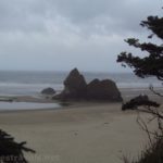
…but by the time we’d collected our water bottles and walked down the 0.1 mile trail, the mist had rolled in. So much for a sunny beach walk!
Oh, well. We’ve visited Ruby Beach in the sunshine and in the rain before, and while the first is preferable, the second is certainly cool enough to warrant walking around!
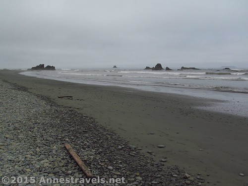
We crossed the small stream (you won’t get your feet wet if you’re careful) and headed for the sea stacks, about 0.2 miles down the beach.
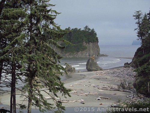
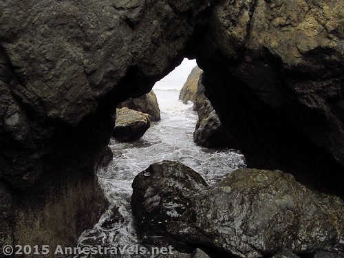
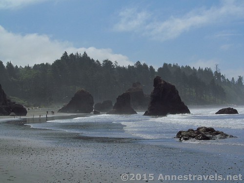
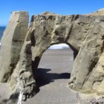
The sea stacks are very cool, and so is the sea arch in one of the sea stacks.
The tide was nearly high, so the waves crashing in through the arch were pretty cool!
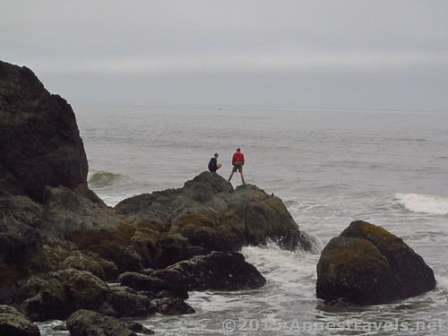
So was taking pictures of my companions standing high and mostly-dry on rocks watching the tide come in.
We wandered around the sea stacks for a while, then a few of us decided to stroll north up the beach for a ways, and the others would join us after the turn of the tide. At the time, we basically had the beach to ourselves, so we figured we’d have a pretty peaceful walk.
However, walking around the first bend, we ran across some people who were really quite near a pair of bald eagles feasting on salmon on a rock. The people got too close before I was able to get a really good picture, but here’s what I got:
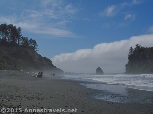
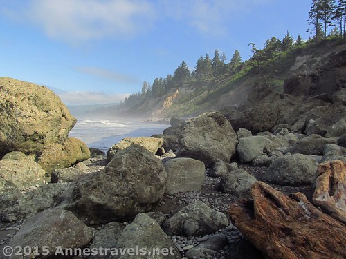
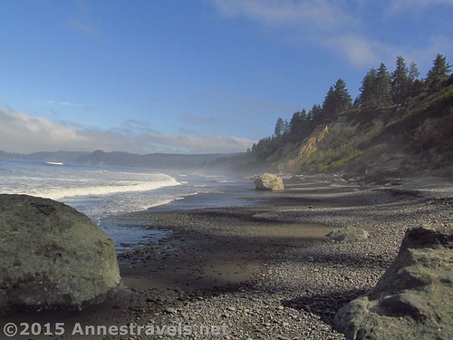
We waited around for about 30 minutes, hoping the eagle would come back to its salmon, but to no avail. Meanwhile, though, the mist was blowing away, leaving some pretty incredible photography opportunities in its wake!
Finally we gave up on the bald eagles and continued down the beach through the ever-decreasing mist. Wow! Beautiful!
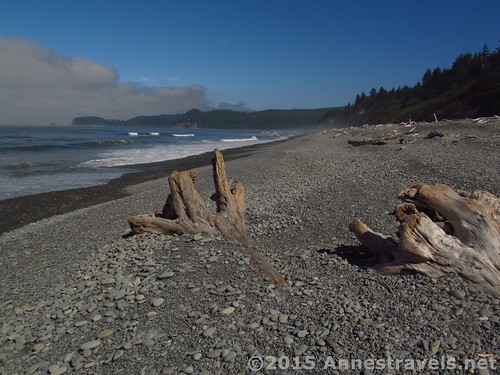
By this time, the tide had turned and the rest of our group caught up with us. We all enjoyed the clearing mist and great piles of driftwood for a while, then decided that we really weren’t looking for a long, arduous hike that day, so we’d better turn around at 1.6 miles. After all, there really weren’t any more sea stacks to see until you got to the next bend (at the very least) and we’d had quite the nice beach walk the day before.
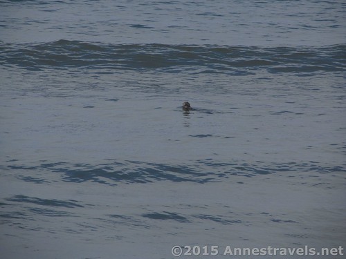
On the way back, we got to see a seal poking its head up out of the water.
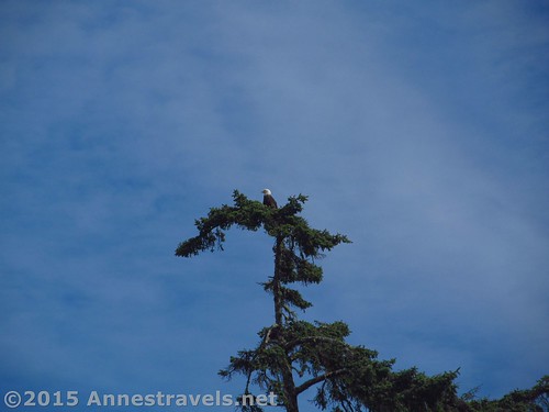
And on the way back the eagles were perching in an old spruce tree, so everyone got to see it!
And when we turned the corner back onto Ruby Beach proper? Madhouse! In our absence, the peaceful beach scene had turned into a circus of families, couples, and singles strolling around, shouting, playing in the sand, etc., etc., etc. Now we were thankful we’d come so early!
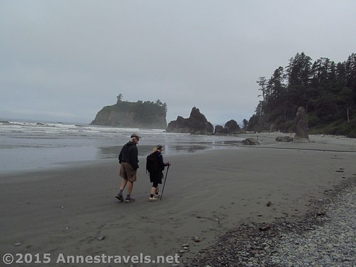
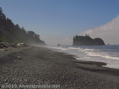
But the mist was still clinging around the sea stacks for some more great pictures:
We headed back up the trail to the parking area for a total hike of 3.2 miles. It wasn’t a long hike, but it was so worth it to see the mist clear away from the beach and sea stacks.
Round Trip Trail Length: 3.2 miles
Highest Elevation: 60ft. (parking area)
Lowest Elevation: -13ft. (along the beach)
Net Elevation Gain / Loss: 73 ft.
Facilities: (Very busy) Primitive toilets at the trailhead
Fees: $15 per vehicle, valid 7 days. America the Beautiful (Interagency), Senior (Golden Age), Access (Golden Access), Volunteer, Military, and Olympic Annual Passes also accepted
Trail 


Road 


Signs 


Scenery 


Would I go 100 miles out of my way for this? 


Overall Rating: 


Key GPS Coordinates for Ruby Beach
Parking: 47.70984N / -124.41367W (47° 42′ 35.4234″ / -124° 24′ 49.2114″) (58ft.)
Trail beginning: 47.71000N / -124.41377W (47° 42′ 36″ / -124° 24′ 49.5714″) (60 ft.)
Beach / Trail Junction: 47.71055N / -124.41501W (47° 42′ 37.9794″ / -124° 24′ 54.0354″)
Sea arch: 47.71199N / -124.41696W (47° 42′ 43.164″ / -124° 25′ 1.056″) (-13ft.)
Turned around: 47.72644N / -124.42069W (47° 43′ 35.1834″ / -124° 25′ 14.4834″) (-4ft.)
The gpx file for Ruby Beach can be downloaded – please note that this and the GPS Coordinates are for reference only and should not be used as a sole resource when hiking this trail.
GPX Download File size: 78.1 KB Downloaded 184 times
(Note: I do my best to ensure that all downloads, the webpage, etc. are virus-free and accurate; however, I cannot be held responsible for any damage that might result, including but not limited to loss of data, damages to hardware, harm to users, from use of files, information, etc. from this website. Thanks!)
Getting to Ruby Beach
If you’re coming from the main part of Olympic National Park, from Port Angeles, drive 83 miles on Hwy-101 S/US-101W to Ruby Beach, on your right. This is 14 miles south of the road that leads to the Hoh Rain Forest.
If you’re coming from the south, take Hwy-101 E/US-101 N from Aberdeen, WA 80 miles to Ruby Beach, on your left. Keep a close watch for where Hwy 101 goes, especially in Aberdeen, so you don’t accidently get off the right road.
Zoom map out to browse nearby hikes & places of interest
This Week’s Featured Product!
With so many good hikes, this book is a great resource while hiking the Olympic peninsula! Although it includes many beach walks (including Ruby Beach), it also covers mountain hikes, rain forests, and more.




Pingback: Epic Hiking Fail to Epic Hiking Success - Anne's Travels