I’ve found that I’m mostly likely to travel in the autumn months, and this year was no exception! After hiking 230 miles in September and early October, I promptly began planning another trip for November, the center of which would be to try and hike South Rim to Colorado River to South Rim in the Grand Canyon. We did a lot more than that attempt, including a dozen or more hikes we hadn’t planned on at all, but that’s the way trips go, especially when you’re trying to work around weather!
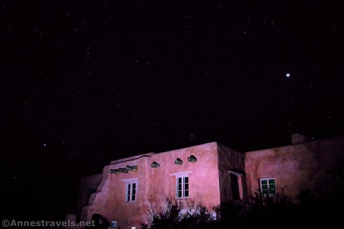
We started out hiking in Petrified Forest National Park. I first visited the park in 1995 and have been back a couple of times. However, it never wowed me. This time, the park completely blew my mind in terms of beauty with its wilderness routes (A trail? No way! Get lost? You bet!) Onyx Bridge was our first find.
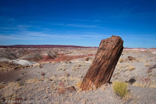
Then we tried to follow the Wilderness Route. I finally gave up and used the excellent GPS coordinates given by the park (available as a printout at the visitor center). This was one of my favorite trails on the entire trip; stumbling across pockets of petrified wood, discovering fantastic badlands, and the overall good views were a real highlight!
The next day, we visited several viewpoints, including seeing the old Studebaker along the old grade of historic Route 66.
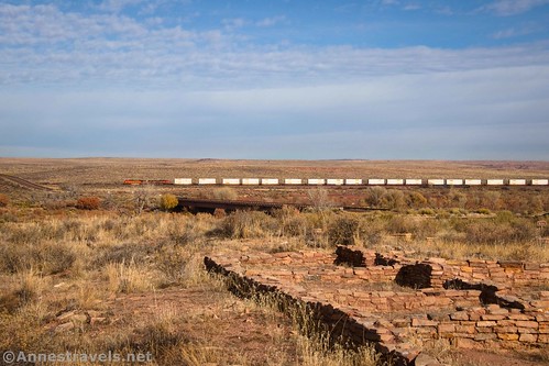
I don’t think we’d ever visited the Puerco Pueblo before…
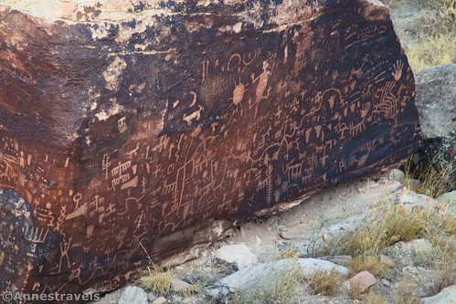
Though we had visited Newspaper Rock, we did it again to get some photos.
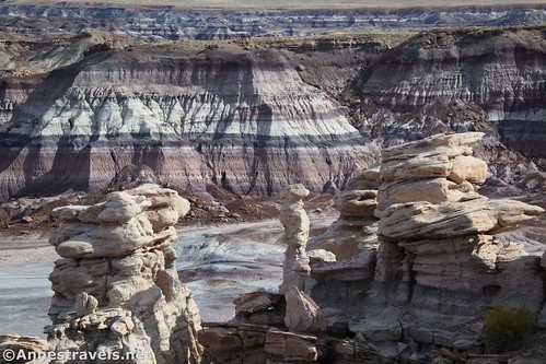
We parked by the Teepees for our second favorite trail of the visit: Blue Forest Trail. Talk about spectacular!
We also hiked to Billings Gap. While nice, it didn’t quite live up to the hype and we totally lost the trail on the way back.
While we were there, we hiked the paved Blue Mesa Loop. Again, it was nice, and it brought back memories of doing in an ancient stroller back in the 90s.
On our way south, we stopped at Agate Bridge…
…and then hiked the Giant Logs Loop.
A great finish to the day was the Crystal Forest. It was such a lovely evening, and the logs here are quite nice.
From here, we drove up to the Page area. Our first hike was the Beehive Trail (sometimes called the New Wave). Storm clouds and golden hour made it pretty epic!
Back in 2011, I decided that Skylight Arch was a must-see attraction near Page. We found a lot of fallen arches, but not the one we were looking for. This time, armed with GPS coordinates from Glen Canyon National Recreation Area website, plus a little help from some volunteers patrolling the area, we made it to the arch. And it was worth it!
There were still a few more hours of daylight, so we drove over to the short hike to the Nautilus (named for the seashell, not Captain Nemo). It was an incredible and very fun formation.
On our final day in the area, we decided to hike the almost-unknown Resurrection Canyon (I can’t say it’s completely unknown since I found it on AllTrails). Talk about a hidden gem! We hiked twice the purported mileage because we explored so many side canyons.
We wanted to drive from here to the south rim of the Grand Canyon. But the weather forecast for the entire area included snow showers where there wasn’t rain. So instead, we drove west… to Death Valley. (One of the things we’d established before leaving home was that some of the group wasn’t interested in Death Valley (I’m always interested in Death Valley, and if you want to know why, click here). So this was a decision based on logic more than a real desire to go there.) We ate breakfast at Zabriskie Point…
…and then took the gorgeous Red Cathedral Canyon Crest Route.
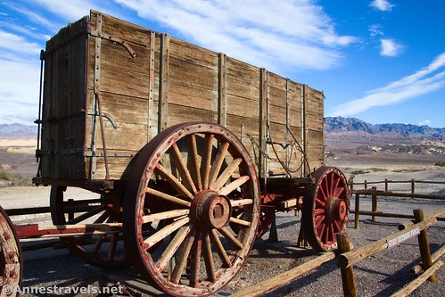
In the afternoon, I dragged the group to Harmony Borax Works and Mustard Canyon to get some photos.
Then we drove down to Badwater Basin. I’ve been keeping tabs on the situation in the park since Hurricane Hillary closed down the park for 2 months back in August. So I knew there would be water flooding the valley. But I wasn’t prepared for the sheer beauty of Lake Manly. It was absolutely surreal, a once-in-a-lifetime experience I’m so glad I got to do! In fact, it was so incredible that we blew off the rest of the afternoon’s plans so that we could go wading (now I’m glad I brought along our water shoes!)
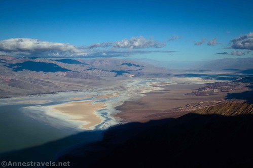
The next day, we drove up to Dante’s View…
…and then hiked to Coffin Peak. There’s no real trail, but the views are great.
Grand Canyon was looking like it had a weather window of sunshine, so on our way out of the park, we drove the Greenwater Valley Road (a new experience for all of us).
And since this post is getting very long, I’ll post the second half of the trip (including whether or not we were able to do Rim to Rim) early next week!
Today’s Featured Product!
A great little guide to some truly beautiful hikes, this book is a good place to begin dreaming about new adventures. Buy your copy here!









Pingback: Sneak Peak: Grand Canyon, Southern Utah, and Death Valley! – Anne's Travels