Great Sand Dunes! Ever since he first saw the dunes in a book when he was five or six, one of my group members wanted to visit. Unfortunately, that first visit didn’t turn out so well due to a sandstorm, but on our second visit, we got up early and conquered Star Dune, (technically) the highest sand dune in the park (also known as High Dune). This past time, we said, “been there, done that, let’s just hike on the dunes for the fun of it.” So we ended up on top of Star Dune by happy accident the second time. Still, it’s a very worthwhile hike with some great views, and it’s only about 3.4 miles RT.
Quick Stats
Speaking of high points, I’m super excited that this post marks my 400th blogged destination! In other words, this is the 400th post about trails, hikes, paths, museums, bike rides, historic sites, and more on Anne’s Travels. That’s a lot of miles, a lot of writing, and a lot of happy (and sometimes “what were we thinking!?!”) memories!
But back to hiking sand dunes: I highly recommend hiking in the early morning. For much of the year, that’s the only time of day where you have both daylight and reasonable temperatures. (The sand can become burning hot in the sun.) Second, the wind tends to be less in the early morning, which means you’re less likely to run into a sandstorm. Plus, early morning on the dunes is beautiful!
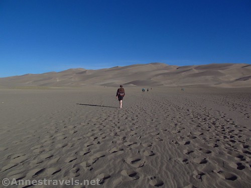
We started out from the regular Dunes Parking lot. We crossed where the stream should have been (25% snowpack meant no water at all in late May when the stream is usually about full strength). It was disappointing that there was no water; I remember it fondly from a visit in July many years earlier. But hey, at least we were here!
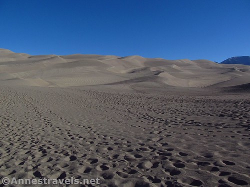
We mostly just headed for the dunes. The flat, sandy expanse is perfect for photography shortly after sunrise, even if the sand was very cold underfoot.
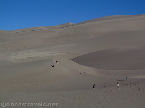
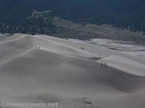
Once we hit the dunes, we started climbing. Some of my group was more interested in jumping down the dunes than hiking, so they stopped partway up. Three of us kept following footprints and dune-ridgelines.
The views were fantastic toward the Sangre de Cristo (Blood of Christ) range of the Rocky Mountains. We could see several 13ers (including Cleveland Peak, Tijeras Peak, and Music Mountain, and Mount Herard) as well as a couple of 14ers (Kit Carson Peak and Crestone Peak; we might have also been able to see Challenger Point and Crestone Needle which are also over 14,000ft.).
The mountains to the east were measly 12,000ft. peaks, but there were a few 13ers. Not too shabby!
We got up to the second to last ridgeline and suddenly realized our trajectory was taking us up Star Dune. Since we’re here, we might as well…!
The last climb was the hardest, and at least one of my group members used his hands as well as his feet to climb. It was very steep, but with plenty of breathers we made it up to the last ridgeline, and from there, all the way to the highest point!
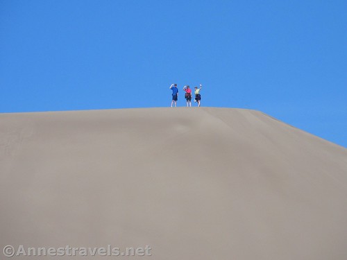
A mom with three kids came up behind us. They were having so much fun climbing the dune. By that time, we were loving the view and the thought of jumping down all those dunes…!
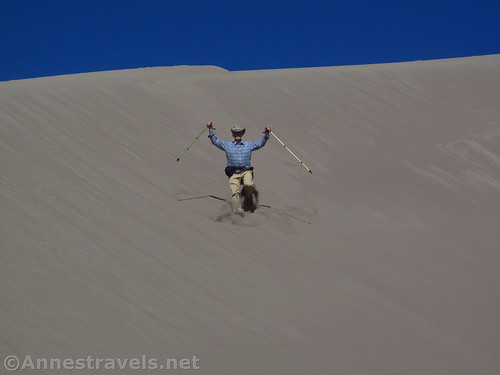
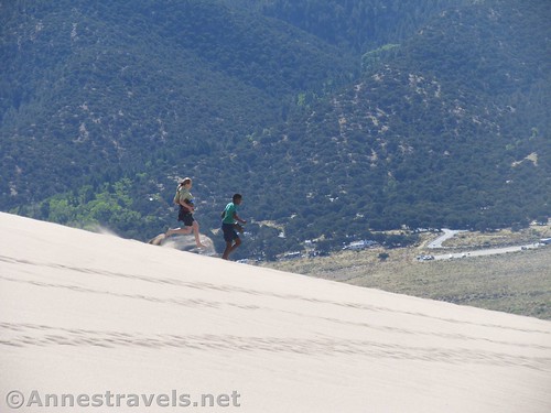
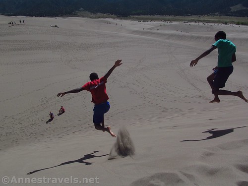
We did jump down the dunes, even meeting up with a couple of group members who wanted a hike but not to go all the way to the top. Near the bottom, we met up with those of the group who had stayed behind.
Hike accomplished, we turned our attention to the real fun: Jumping down sand dunes!
Before 10am, the sand was becoming so hot it was burning our feet. So we headed back to the parking area. Thankfully, there are places to rinse off your feet – I for one don’t like sandy feet in sandy socks in sandy shoes!
Round Trip Distance: About 0.8 miles RT to the dunes and back; about 3.4 miles RT to the top of Star Dune and back
Elevation Gain: 984ft. (8,048ft. to 8,672ft.)
Facilities: Restrooms and water spigots in the parking area; picnic area nearby.
Fees: $25/vehicle/week. National Park & Federal Lands Passes and Great Sand Dunes Annual Pass accepted.
Trail Notes: The walking is not the easiest on this hike. I wore sandals across the flat section and partway up, then finished the climb barefoot. But then again, seashore sand sometimes gives me blisters and I knew I had two weeks of hiking ahead of me. The sand becomes hotter as the day progresses, so I highly recommend doing this in the early morning. It’s imperative to get on the right ridge to head upward – otherwise, it won’t take you up Star Dune.
Trail 


Road 


Signs 


Scenery 


Would I go 100 miles out of my way for this? 


Overall Rating: 


GPS Coordinates for Climbing Star Dune
Trailhead: 36.5971167°, -105.4490000° (N37° 44.369′ W105° 31.049′ / 36°35’49.6200″, -105°26’56.4000″) (8,073ft.) (0.0) (end 3.4)
Reach the Dunes: 37.7430000°, -105.5231000° (N37° 44.580′ W105° 31.386′ / 37°44’34.8000″, -105°31’23.1600″) (8,077ft.) (0.42)
Top of Star Dune: 37.7499333°, -105.5329000° (N37° 44.996′ W105° 31.974′ / 37°44’59.7600″, -105°31’58.4400″) (8,659ft.) (1.9)
The gpx file for my trek up Star Dune can be downloaded – please note that this and the GPS Coordinates are for reference only and should not be used as a sole resource when hiking this trail.
Download GPX File size: 78.1 KB Downloaded 164 times
(Note: I do my best to ensure that all downloads, the webpage, etc. are virus-free and accurate; however, I cannot be held responsible for any damage that might result, including but not limited to loss of data, damages to hardware, harm to users, from use of files, information, etc. from this website. Thanks!)
Zoom map out to browse nearby hikes & places of interest
This Week’s Featured Product!
If you want more hikes in and around Great Sand Dunes, check out this book. The guide includes 26 hikes (mostly in the surrounding mountains).










Pingback: Sneak Peak: Southwestern Variety at its Finest - Anne's Travels