I enjoy ferries. There’s something fun about breaking up a trip by driving onto a ferry and taking it to a destination—it sure beats driving around the lake or other water passageway! However, ferries tend to be very expensive, especially if, like me, you’ve got several people in your group. That’s why I was thrilled to find out that the Staten Island Ferry, which runs across the Upper Bay between Staten Island and Manhattan, doesn’t charge a fee. The passenger-only, strikingly orange ferries can be boarded at either end without passengers being charged a fee. You don’t have to prove you work in NYC or live on Staten Island, or even be a US citizen. The ferry is open to all who want to ride on it and who follow the rules (there are amazingly few, although if you’re suspicious you will be stopped and your bags, etc., checked). On the way to the other side, you get some really great views: the Manhattan skyline, the Statue of Liberty, and the Brooklyn Bridge, among other sights. There are even things to do on the Manhattan side within walking distance of the ferry terminal, so you could easily make a day trip out of the ferry ride and spending some time visiting the sites in New York. The whole area—including the ferry ride—is wheelchair and stroller friendly, so it’s a fun thing to do for just about anyone who isn’t ridiculously prone to seasickness!
Because we were coming from New Jersey, we decided to park in Staten Island and then take the ferry over to Manhattan. From there, we planned to walk ½ mile (1 km) or less down to Castle Clinton. As it turned out, we did this and then walked along the East River Esplanade, which was very nice. You could also walk down to the Brooklyn Bridge (a little over a mile (2 km) away). I’ll talk about what we did in Manhattan in another post, but for now I’ll tell you about how to do the Staten Island Ferry.
Unfortunately, there wasn’t a logical way for us to do this entirely free. If you don’t mind walking a mile or two (we didn’t want to do this on the day we took the ferry), you could probably park for free along Richmond Terrace—many people do. However, if you’re not up to the walk, there are a couple of lots close to the ferry terminal–$7 a day (with a free shuttle bus to the terminal) or $8 a day (and close enough to walk). We chose the $8, close-to-the-terminal lot—I believe it was the Ferry Terminal North (#2) Municipal Parking Field (a big name for a parking lot where you pay the meter and then display the pass in your windshield).
To get to the parking areas, take Exit 13 from I-95 to I-287 East and the Goethals Bridge. You’ll also be following the signs for the Verrazano Narrows Bridge, although you’ll leave the highway before the Verrazano Narrows. Cross the Goethals Bridge and drive 5.8 miles (9.3 km) to Exit 12. Take this exit and turn left onto Slosson Avenue. After 0.2 miles (0.3 km), turn right onto Victory Boulevard; this will be your second right. Follow Victory Boulevard almost 3 miles (4.8 km), then turn left onto Bay Street. Continue for 0.2 miles (0.3 km), then take a slight right onto Richmond Terrace for 0.3 miles (0.4 km). Turn right onto Bank Street for 0.1 miles (0.1 km); from here you will be able to see signs to where you should park. In the summer of 2012, there was an ongoing construction project on the parking areas that make this more complicated than usual—hopefully they’ll finish soon. Although you’ll need to leave your vehicle, bicycles are allowed on the ferry; we briefly considered this, and then decided that none of us had any interest in biking NYC streets!
After we’d parked, we headed over towards the terminal. Follow the sidewalk towards the building with the odd-shaped roof. You can either climb the stairs, or there’s a wheelchair-accessible ramp to the left of these steps. From the ramp, stairs, and the concrete platform between these and the doors, you can see one of the ferries—very cool! Go into the doors and head straight past Subway and the Liberty Deli. Actually, you’ll pass a few shops/restaurants before you come to a sign up on the wall that announces “Staten Island Ferry” above a row of glass doors. Go through these doors and through what I’m assuming are metal detectors (styles of some kind) into the waiting room. There are fish tanks with fish and other aquatic animals that are native to New York Harbor, as well as interpretive displays. I also enjoyed the map on the floor of the area that you’ll be traveling on the Staten Island Ferry.
If you’re coming at a busy time (rush hour, for example) you will want to get over as near the doors as possible. Only one set of doors will be used to let people through, so you’ll want to be close to the doors that you’ll be boarding through—these will be announced over the loudspeaker about 15 minutes before the boat leaves (if you can hear what the announcer is saying!), but you can also follow the crowd. We arrived about 11:30 (just after a ferry had left) on a Friday morning, so although there were plenty of people, it wasn’t terribly crowded. You can get a full ferry schedule on the Staten Island Ferry website: http://www.siferry.com/SIFerry_Schedules.aspx.
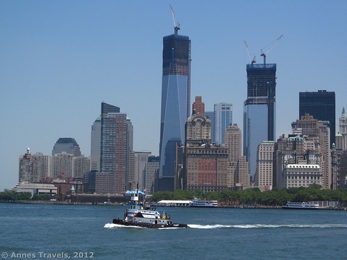
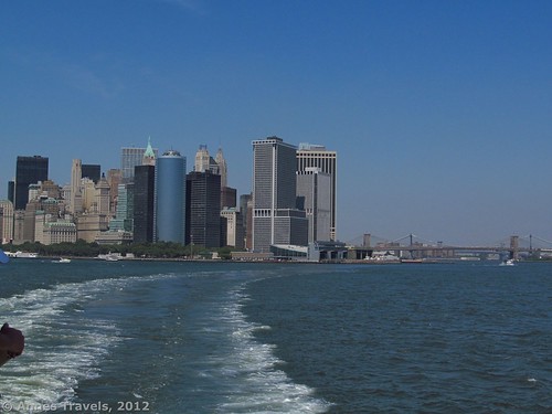
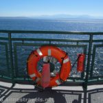
At last, the guards opened the doors and everyone boarded the ferry. (In case you’re curious, you can’t just ride back and forth all day on the ferry…you have to get off and re-board at each end.) We made our way along and found ourselves at the bow of the boat—I recommend this position. It gives you great views of the Manhattan skyline (including the Freedom Tower), as well as the Statue of Liberty, Ellis Island, the Brooklyn Bridge, and the Manhattan Bridge, not to mention the ferry terminal where you’ll be docking. There’s only so much space, and there are no seats, but if you don’t mind standing and letting the smaller people in front of you, this is a great place to be. A rope shows you how far you can walk towards the bow, and a fence-like gate keeps you from falling off of the bow. Even if you can’t be right next to the rope, you may be able to stand right next to the wall on the bow—a window lets you see quite a bit, and you can see ahead of you. Again, there were people here, but it wasn’t so crowded that we had trouble finding a place to stand (even later in the day during the beginning of rush hour—the 3:30pm ferry).
After everyone had boarded, with a loud hoot on the horn, the ferry began to move away from the dock. I forgot to mention this earlier, but over on the right of the ferry is a lot of pilings—I’m not sure what these are used for. Also, from the docked ferry, you’ll be able to see other ferries that aren’t in use at the moment. The time of day, year, and expected number of passengers dictate how big a ferry the company will use, and how many ferries. During peak times, there may be ferries as often as every 20 minutes, while it may be only once an hour at low traffic times (in the middle of the night, for example). Anyhow, as you pull away from the dock, you’ll be able to see these pilings and ferries, as well as out into the harbor. The movement of the ferry isn’t bad; unless you were terribly prone to seasickness, you’ll be fine (at least in good weather). I could feel the boat rocking on the waves, but it must have good enough stabilizers that you can’t feel it much.
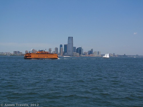
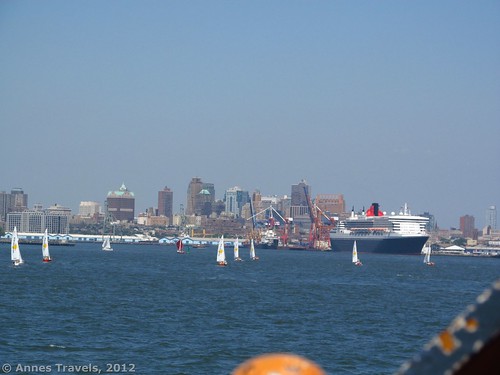
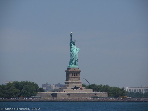
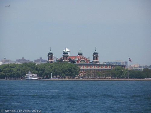
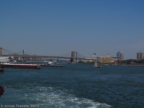
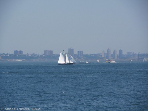
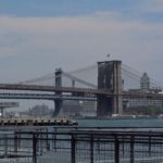
The ferry goes from the northern end of Staten Island to the southern tip of Manhattan. Along the way, you’ll first pass some lighthouses in the middle of the bay on your left side. Also, be on the lookout for tugs, sailboats, barges, yachts, and other watercraft all around you—on a nice day, you could see dozens of boats out on the bay. Enjoy all the skylines you can see, especially Manhattan in front of you, as you get closer to Long Island. As you get closer to the dock, you’ll be able to see both the Brooklyn Bridge and the Manhattan Bridge behind it. Very cool! Part way across the bay, you’ll begin to get very good views of the Statue of Liberty (I used my telephoto for the pictures—you don’t get that close!). The best pictures of Lady Liberty are taken in the morning, when the sun is on her face, although on the return boat, you get closer to Liberty Island—so if you’re looking to take pictures, take the return boat back in the morning. You can also come back to Manhattan on the next boat. I found the skyline to be better in the afternoon, although you’re facing north, so it’s not bad either time of day (on the day I went, there was more haze in the morning than in the afternoon). Close to Liberty Island, you can see the buildings on Ellis Island, where immigrants came into the United States.
After about 20 minutes, the ferry will dock. As you come into the dock, you’ll be headed for the building just to the right of the United States Coast Guard building (not the ornate building, but the one just to the left of the fancy dock). If you’re at the front, you’ll get a great view of coming into the dock. I took a video so you can see what happens—not earth shattering, but interesting none-the-less. You’ll be the first ones off the ferry, and so you can get a head start on those who are at the back. Go into the waiting room, and then walk down the stairs (elevators are available to the right of the stairs for those with wheelchairs). Then walk straight out through the doors and into Manhattan. Turn left to go to Castle Clinton, or turn right to go along the Esplanade over towards the Brooklyn Bridge.
When you’ve had your day in New York, return by another ferry (again, it’s free). Then return to your vehicle—walk out of the area where you got off the ferry, turn right, and then turn right again to get back to the top of the staircase which you’ll descend to get to your vehicle (the ramp is on the right). We were in the back of the ferry (we weren’t even sure we would make it onto the ferry, there were so many people waiting!) so we got a very similar view to the one on the way over. However, as I said above, you’re more to the north, so you get a closer view of Lady Liberty and Ellis Island. You might want to be in the front if you want a different view.
All told, the Staten Island Ferry is a great way to get to New York City, and a great way to experience New York Harbor—for free!
Round Trip Length: Walking varies; at least ¼ mile (0.5 km)
Facilities: Restrooms in the waiting rooms, water fountains, restaurants/snack bars
Fees: None for the ferry; $8 for parking
Trail 


Road 


Signs 


Scenery 


Would I go 100 miles out of my way for this? 


Overall Rating: 


This Week’s Featured Product!
Worried about walking through Manhattan? Here’s a laminated traveler’s map of the area. It not only includes walking routes/roads, but also bus maps and subway maps. Even those who live in the area use it to find their way through the city.




Pingback: Anne's Travels » Castle Clinton: History in Manhatten
Pingback: A little walk along the East River Esplanade from Castle Clinton
Hello There. I discovered your blog the usage of msn. This is an extremely well written article. I will make sure to bookmark it and return to learn more of your useful info. Thank you for the post. I’ll certainly comeback.
Thank you so much for bringing this to our attention. This is a good article with a lot of information, great content!
Pingback: Celebrating 20 Years of Family Vacation - Anne's Travels
Pingback: Alternate Views of Famous American Wilderness Areas