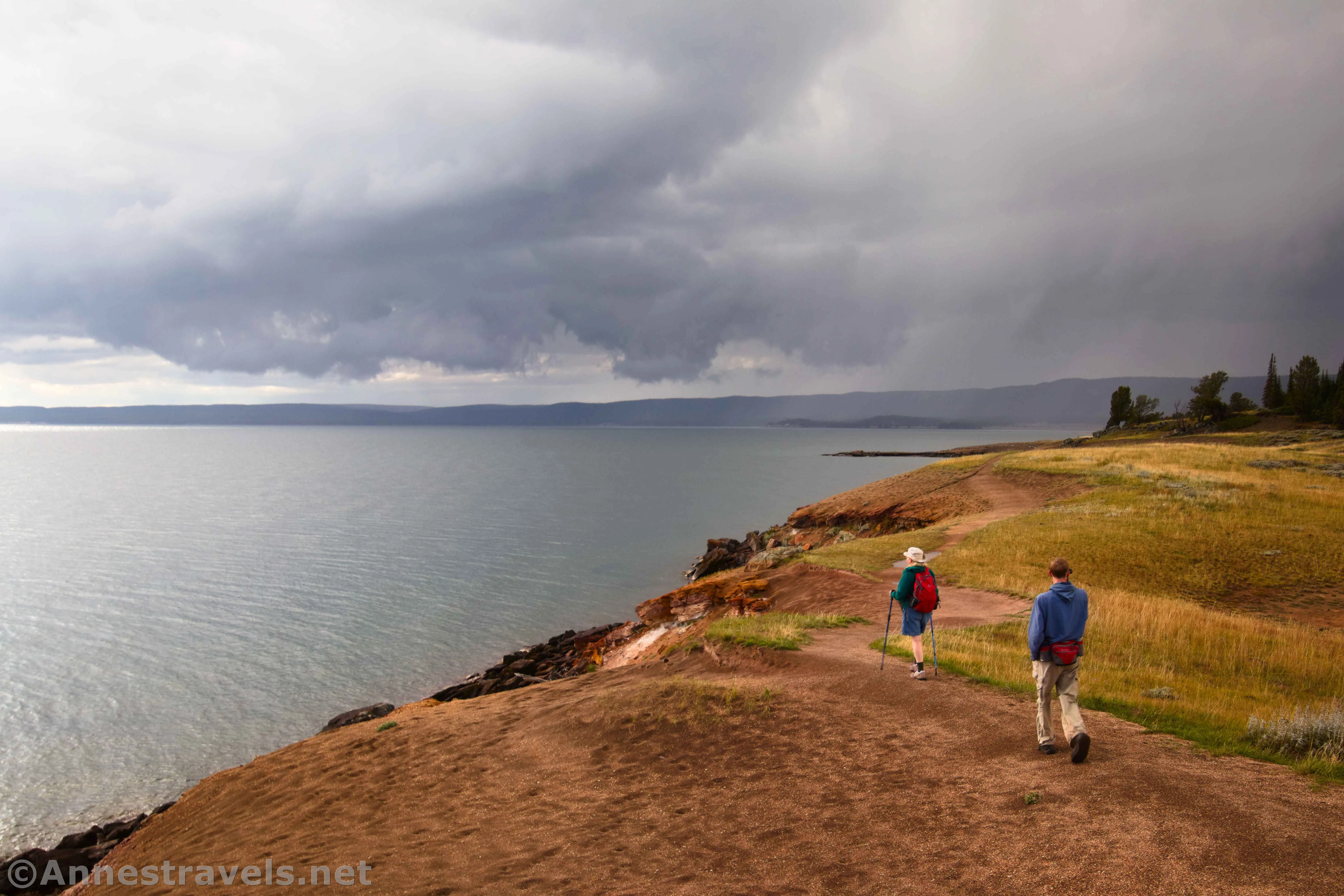
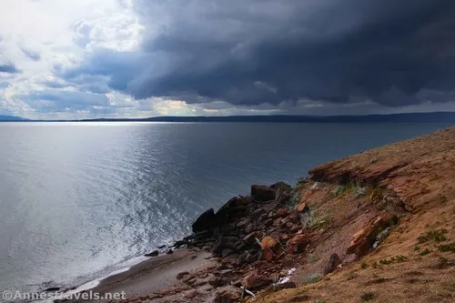
Of all the trails and viewpoints I saw (and hiked!) along the shore of Yellowstone Lake, Storm Point was my favorite. It offers sweeping views, a pleasant forest walk, a meadow or two, and even a chance to see wildlife (I hear that a bison likes to hang out along the trail). It’s also close enough to the mountains to allow you to truly appreciate them, along with Steamboat Point and other features. Unfortunately for me, Storm Point lived up to its name, and I had the “treat” of a hailstorm on my way back – but I guess that goes with the territory on a stormy, moody afternoon.
Quick Stats
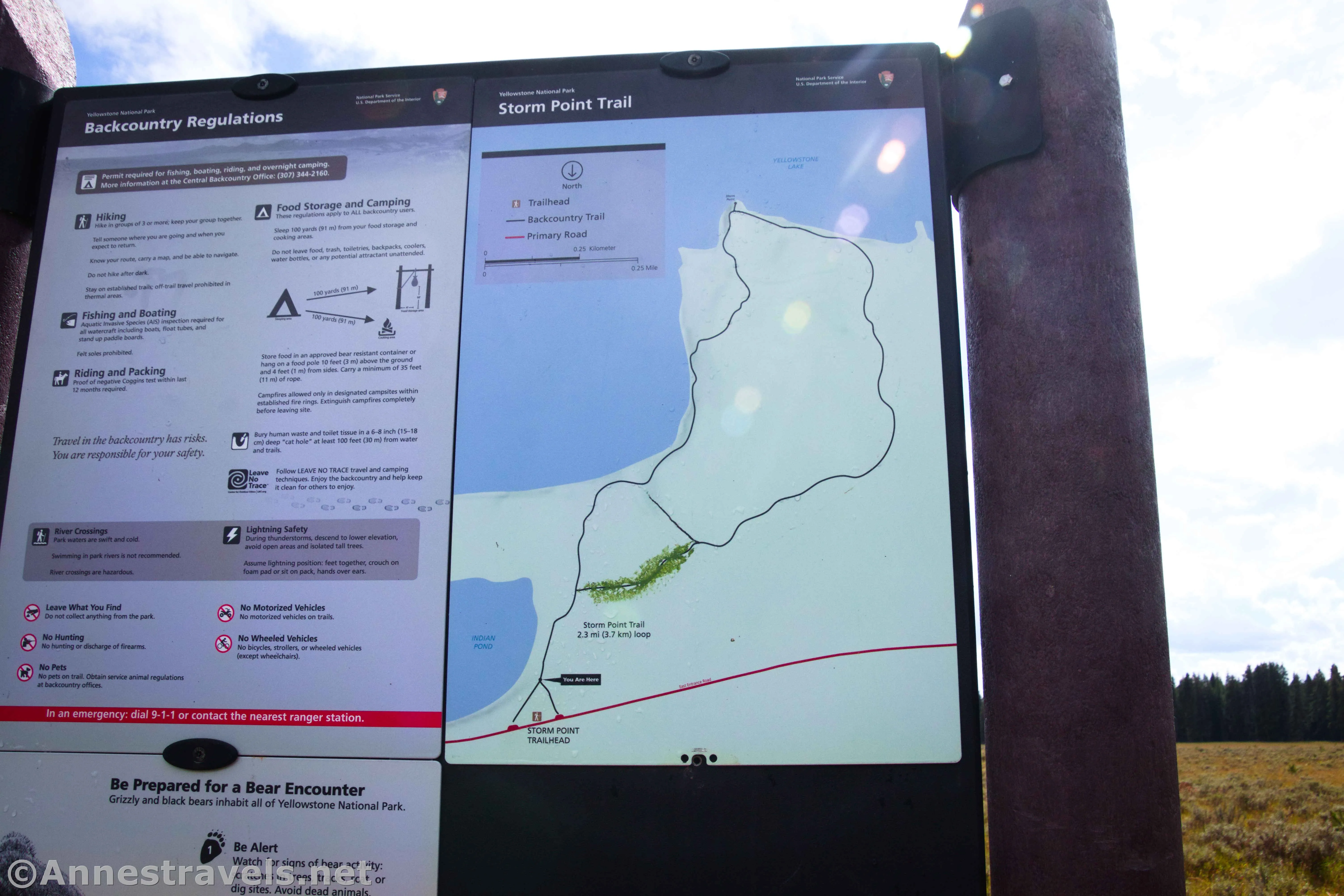
There are two parking areas for Storm Point. The first (closer to Fishing Bridge) is technically the official parking area and trailhead. We didn’t know that, so we ended up parking at the Indian Pond Trailhead, a very short distance to the east. Thankfully, a sign pointed us in the right direction – turn right to take the flat, unpaved, well-maintained trail over to the official trailhead, marked with a vault toilet (or take the cutoff trail that will take you to the sign with the official trail map).
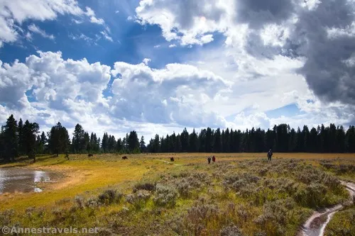
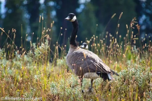
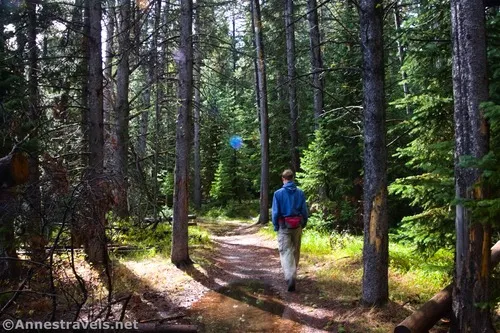
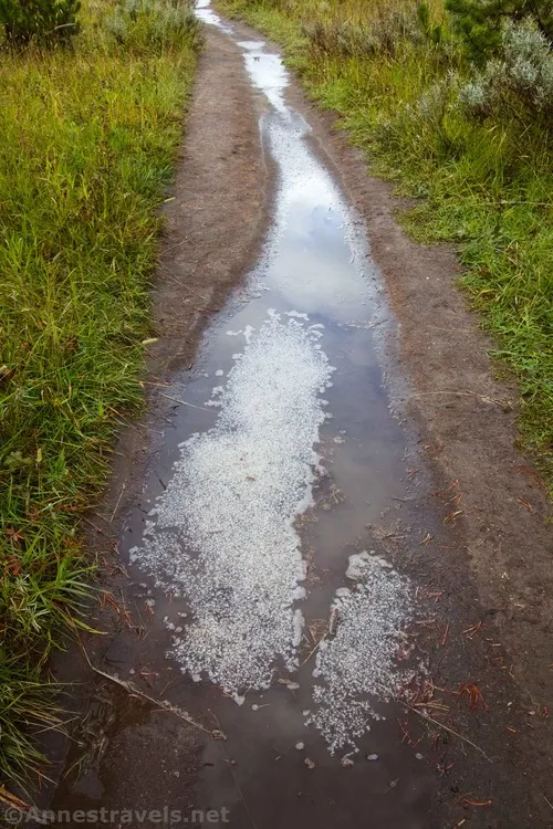
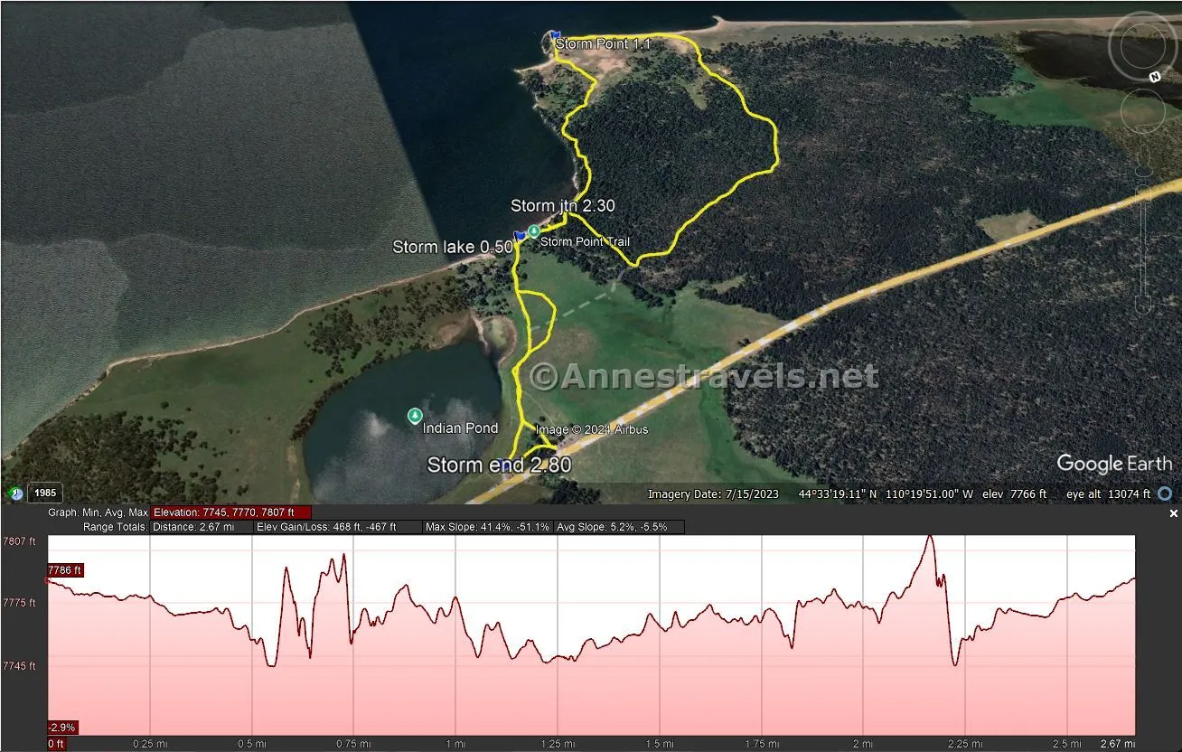
The Storm Point Trail strikes south along the eastern edge of Indian Pond. It had just rained (we actually waited out a thunderstorm for about 15 or 20 minutes; when the sun came out, we figured we were good to go), so the trail across the meadow was puddly. It must be wet often, because visitors have created a second trail right next to the deeply rutted official trail – the social path is at meadow level, so it’s a lot dryer. As we approached the trees, a bison calmly blocked the path, foraging for its mid-afternoon snack. It had zero interest in us, but we still gave it a very wide birth by going off-trail through the meadow. I’m pretty sure we weren’t supposed to do that, since the trail that used to loop through the meadow to the trail in the woods is closed. But we were able to get back on the trail as it approached Yellowstone Lake.
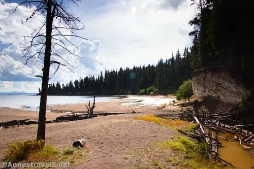
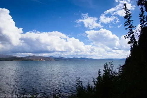
The trail continues south almost to the shore of Yellowstone Lake at 0.5 miles from the Indian Pond Trailhead. It then turns right (west) to enter the trees. The views before the trees are great, but by this time, we’d seen that there was another storm approaching. We picked up the pace, crossed a stream, and continued past the loop trail junction (which I missed entirely on the way out – oops!) at mile 0.6. Because I missed the junction, we went left to stay near Yellowstone Lake – a good choice, it turned out, because otherwise, we would have borne the brunt of the storm along the lakeshore!
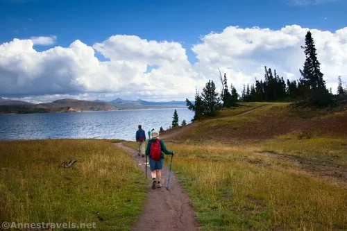
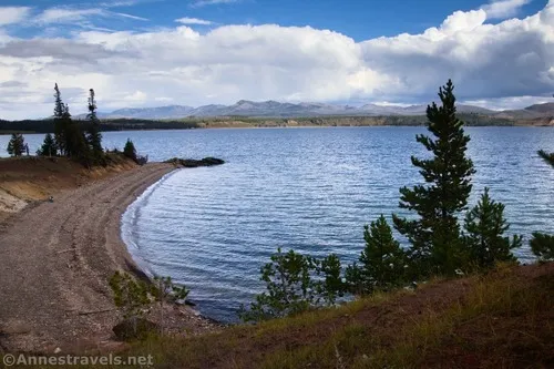
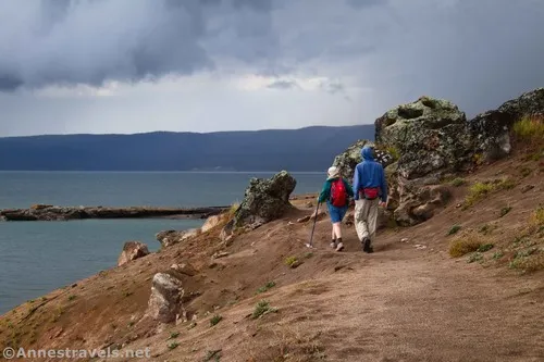
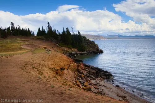
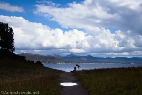
The path travels nearly out to Storm Point before breaking out of the trees again about mile 0.9. The views are even better over the next half mile or so as the trail works its way to the edge of the lake and then along the lakeshore. A few hardy souls were on the rocks; they seemed to be enjoying a (visually clean) romantic moment, so we stayed on the trail and looked at the view. Wow!
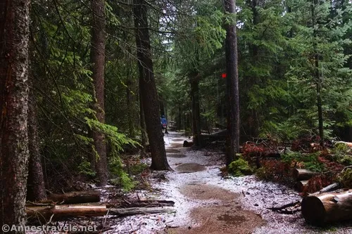
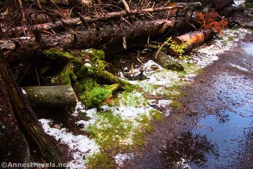
Too soon, the trail turns right to return to the trees. You’ve seen all the views at this point, but it’s still a pleasant hike through the woods – well, pleasant most of the time. Unfortunately for me, the heavens opened just as we entered the forest. Hail was its ammunition of choice, but raindrops were fair game, too. It was a test of our windbreakers, not to mention our footwear from the puddles floating with hail balls, but we really stayed amazingly dry, considering!
When you return to the loop junction (near the lakeshore), turn left to follow the trail back to the trailhead – and thankfully, this time, there were fewer bison around to block the official trail!
Round Trip Trail Length: I went 2.8 miles
Elevation Gain: Around 100ft. (7,786ft. to 7,748ft.) – my GPS showed much more; I’m not sure why.
Facilities: Vault toilet at the Storm Point Trailhead
Fees: $35/vehicle, valid 7 days. America the Beautiful National Parks & Federal Lands Passes and Yellowstone Annual Passes are accepted.
Trail Notes: I would have liked to spend more time out on Storm Point; it seemed like such a lovely place to look at the view. However, I was racing (and definitely not beating) the storm, so we pretty much took photos while walking and headed back. (I even forgot to take a GPS coordinate and had to add it later.) Most of the trail is flat, so it’s a great hike for many ages. Note that trail maps still snow a path going east-west across the meadow – I gather this must be closed; at any rate, it doesn’t seem to exist anymore. When I visited, the lakeshore west of Storm Point was closed (I believe it was for nesting birds).
Trail 


Road 


Signs 


Scenery 


Would I go 100 miles out of my way for this? 


Overall Rating: 


GPS Coordinates for Storm Point
TH (Indian Lake): 44.5595250°, -110.3265430° (44°33.57150′, -110°19.59258′ / 44°33’34.2900″, -110°19’35.5548″) (7,787ft.) (0.0)
Yellowstone Lake: 44.5545160°, -110.3291000° (44°33.27096′, -110°19.74600′ / 44°33’16.2576″, -110°19’44.7600″) (7,758ft.) (0.50)
Loop Junction: 44.5540650°, -110.3307090° (44°33.24390′, -110°19.84254′ / 44°33’14.6340″, -110°19’50.5524″) (7,757ft.) (0.6)
Storm Point: 44.5481600°, -110.3333480° (44°32.88960′, -110°20.00088′ / 44°32’53.3760″, -110°20’00.0528″) (1.1)
Return to Loop Junction: 44.5540650°, -110.3307090° (44°33.24390′, -110°19.84254′ / 44°33’14.6340″, -110°19’50.5524″) (7,757ft.) (2.30)
End at TH (Indian Lake): 44.5594940°, -110.3263880° (44°33.56964′, -110°19.58328′ / 44°33’34.1784″, -110°19’34.9968″) (7,786ft.) (2.80)
The gpx file for Storm Point can be downloaded – please note that this and the GPS Coordinates are for reference only and should not be used as a sole resource when hiking this trail.
Download GPX File size: 46.9 KB Downloaded 52 times
(Note: I do my best to ensure that all downloads, the webpage, etc. are virus-free and accurate; however, I cannot be held responsible for any damage that might result, including but not limited to loss of data, damages to hardware, harm to users, from use of files, information, etc. from this website. Thanks!)
Getting to Storm Point
From the East Entrance Station to Yellowstone National Park, drive 22.6 miles west toward Fishing Bridge. The parking area for Indian Pond will be on the left – if you continue an extra 0.1 miles, the parking area for Storm Point will be on the left.
From Fishing Bridge Junction (where the Grand Loop Road passes the road to Fishing Bridge), turn toward Fishing Bridge and Cody, WY. After 3.1 miles, the parking area for Storm Point will be on the right – if you continue an extra 0.1 miles, the parking area for Indian Pond will be on the right.
Today’s Featured Product!
Almost 30 easy to moderate hikes are featured in this book, but the lack of length doesn’t compromise on views and interest. Hot springs, waterfalls, lake views, and more ensure that you’ll enjoy a variety of hikes on your next visit. Buy your copy here!


