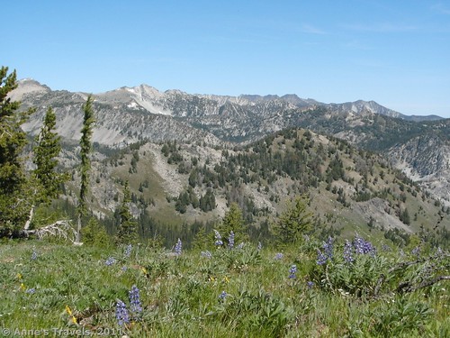
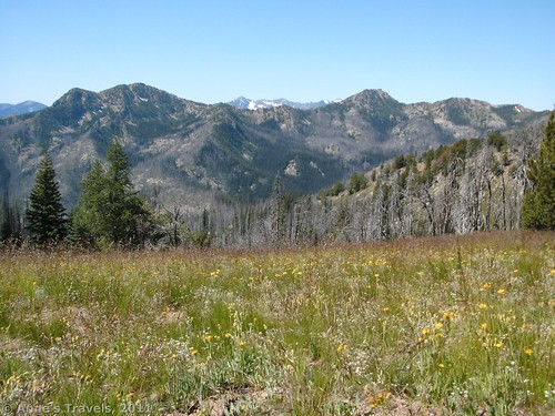
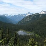
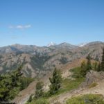
Ok, so we finally did find the Summer Blossom Trail…it took us a while, but we finally did find it! After finishing up the Summit Trail hike the day before, we continued down the road for another two miles and came upon a sign on the left side of the road: “Summer Blossom Trail: Maintained for Hikers Only”. Ok…so we should have kept going a little further! The trail itself is beautiful, with incredible views over the nearer mountains into the Cascade Range. There are also wildflowers, although I found fewer along the Summer Blossom Trail than along the Summit Trail, which connects to the Summer Blossom Trail at Deadmans Pass. In fact, the Summit Trail had so many lovely flowers that it almost took my breath away! Deadmans Pass is also lovely, with gorgeous views over towards the snowy Cascades and across the surrounding valleys. It’s also a bit shorter than what we’d done the day before: to get up to Deadmans Pass is only about 3 miles. However, because there are no signs, we missed the trail switch, and ended up hiking many more miles on the Summit Trail before deciding to turn around. Oh, well: the views from this part of the Summit Trail are stunning!
To get to the Summer Blossom Trailhead, from the town of Chelan, go west on Manson Hwy 150 for 6 miles. Then turn right onto Wapato Lake Road and continue 2.5 miles. Turn right onto Upper Joe Creek Road, which will turn into Grade Creek Road (#8200) and become dirt/gravel at 2.6 miles. For several miles you will be following the lake (although not very closely) driving along the edge of the hillside, following it in and out, in and out, as it twists around the hills. The road is somewhat flat, slightly uphill and downhill in this section. Eventually, you will turn away from the lake altogether, and the road will begin to climb. Finally, after 29 miles of dirt road, at the top of the “pass”, you will come to a campground-type area (South Navarre Campground). Here there is a horse corral, primitive toilets, and some picnic tables and fire rings. Keep going (use the restrooms first if you want…there are none beyond this point for a very long ways!) for another 2 miles. You will be driving downhill. At almost exactly 2 miles you will come to a small parking area on your right with a kiosk and a small sign on your left that will read, “Summer Blossom Trail. Maintained for hikers only.” Park in the parking area, and then head up the trail across the road next to the “maintained for hikers only” sign.
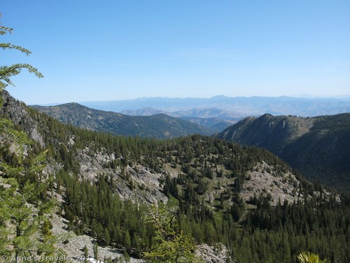
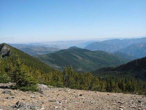
The trail immediately begins to ascend, and doesn’t really let up much. For its full 3 miles, it just seems to keep climbing, even if not quite as steeply later on. For the most part you will be walking through pine forests, although at a couple of points you will cross rock slides, and here you get quasi-good views. I didn’t find the flowers in this area to be very good, although they probably would have been better earlier in the season. For example, I saw lupine bushes, but the blooms were already gone. We were there in mid-August, but the flowers were late that year due to a cooler-than-average summer. So, you’d probably have to go earlier to see good flowers along this section. Note that it’s probably not quite 3 miles up to Deadmans Pass. After hiking it, I’d guess it’s closer to 2 miles.
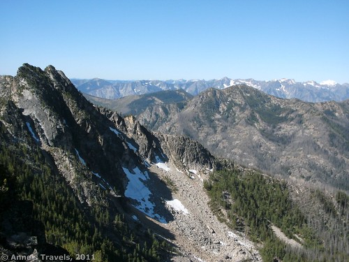
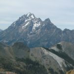
The last push up to the pass is probably the hardest part. You will be climbing up a very steep slope with little or no path on it that suddenly breaks out of the trees. It is a bit slippery, but doesn’t really require scrambling. Don’t give up, though: the view is worth it! At the top of this slope is Deadmans Pass. You will know you are there because it is the first time you will be able to really see the mountains, and the trail (if you can find it) descends steeply on the other side. You are actually standing between two peaks; North Navarre Peak is on the right, and South Navarre Peak on your left. This is where most people stop, or they climb North Navarre Peak. It isn’t real difficult; a couple members of my group actually climbed it on their way back, and we didn’t know it because they were down by the time we caught up with them!
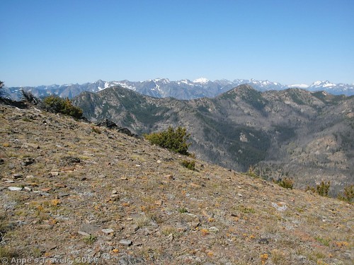
The view itself is outstanding from Deadmans Pass, as well as from North Nuvare Peak. You are high enough that you can see over the peaks in front of you into the snow-covered Cascades. Peaks you can see include Mt. Baker, Glacier Peak, and Mt. Rainier. Wow! It’s just a glorious place to hang out, enjoy the view, and then return the way you came. Unless, of course, you want a longer trail with pretty wildflowers in the foreground of your pictures…
On this particular trail, we weren’t endowed with great information, so we ate an early lunch and then kept going, figuring we’d get to Deadmans Pass yet. Actually, the Summer Blossom Trail ends at Deadmans Pass, and so we continued on the Summit Trail. However, not all maps show this; some show the Summer Blossom trail continuing over to Miners Basin. The map shown here has it going beyond Deadmans Pass to the Summit Trail. To find the trail, from the place where you came up keep going straight. You should run into the trail fairly quickly as it descends a very steep scree slope. Going back up this would probably be difficult, although I did it, as did some other members of my group. Others of us scrambled up the larger scree near the trail. Whatever works; you just want to get down to the trail below/on the scree. This is actually an old sheepherder’s trail. It isn’t very flat, but you can see where the sheepherders actually built the trail to make it flatter. The trail itself isn’t maintained very well, so that’s why these rock walls are so impressive.
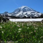
Keep walking along with peek-a-boo views of the Cascades. Eventually, you will come out into some meadows; this was my favorite part of the hike. You’re walking along in the middle of a grassy expanse, with a beautiful view on your left, wildflowers hidden in the grass, and feeling like you’re the only person in the entire part of this wilderness. It’s great! The trail slowly descends as it goes along the fields of grass. I think the wildflowers would have been better just slightly earlier in the season, although they were still beautiful. There are also a few scraggly trees here and there, which mess up nice pictures, but it’s still a beautiful area.
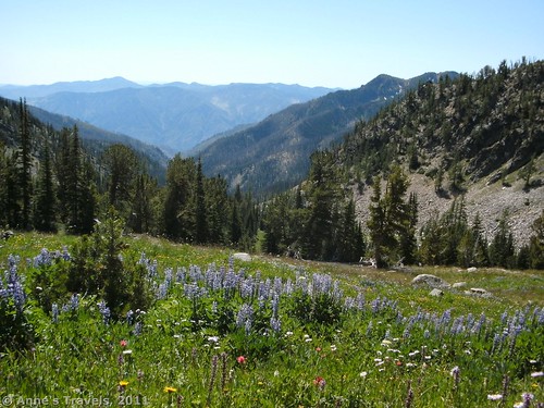
After the meadows, the trail begins to zigzag its way up and down the mountainside. It’s obvious that this part of the trail isn’t used very much, so it can be hard to follow in places. I even lost it in one place, but it isn’t too hard to find again. You just may have to be within a few feet of it before you can see where the trail goes. There may be a little scrambling involved here, as the trail suddenly decides to go up through a grove of trees here and there, but it’s not too difficult. Eventually, after about 6 or 7 miles of hiking (in my opinion; maps have it less than 5 miles), half of our group said they’d had enough, and they’d stay and look at a viewpoint that looks out on the right side of the ridge while the rest of us went further. I walked about another mile down the trail to a very nice alpine meadow. The lupine bushes are in odd patterns in this meadow, so from far away it looks a little strange. However, up close, it just looks very nice. Some other members of my group walked another mile further, up the side of the valley and onto the ridge. I don’t get the impression that the views were great, although they could see where we’d stopped hiking the day before. They saw no reason to go farther, so we all went back the way we’d come. (Supposedly, this trail is only 6 miles long…I’d guess we walked about 8 miles from the trailhead to the point where we stopped, which was before we actually would have connected to the Summit Trail again.)
Return by the way you came. If you’re looking for a nice, not-too-hard day hike to a great view, the Summer Blossom Trail is for you. However, if you can do it, go a little farther (another couple of miles, maybe) to some of the prettiest scenery I saw in the area along the Summit Trail. If you want to do this hike as a loop, you can read about it here.
Round Trip Trail Length: 2-3 miles to Deadmans Pass. After that…well…another 2 or 3 miles to the fields of grass. We had a long discussion later about how far we’d hiked in all. Some people said 18 miles RT, although others thought it was closer to 16 or 14 (my estimate) miles. The Forest Service claims it’s 12 miles, and my map says 10. Take your pick!
Fees: $5 per day Northwest Forest Service Pass required. Interagency, Senior, Access, and Northwest Forest Service Annual Passes also accepted.
Trail 


Road 


Signs 


Scenery 


Would I go 100 miles out of my way for this? 


Overall Rating: 


This Week’s Featured Product!
This guide covers this trail and so many more. Check it out on Amazon!

Thanks for the motivating information, and yes it was totally entertaining. I am going to certainly be a returning reader.
Thank you for this blog post, it was just what I was searching for. There is so much information here, so I thank you so much for enlightening my mind.
Congrats, fantastic post.
Pingback: 12 Places Worth Visiting at least 10 Miles Down a Dirt Road
Pingback: 5 Worst Hiking Mistakes I’ve Made - Anne's Travels