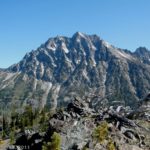
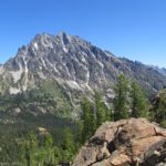
The Teanaway region of Washington is absolutely beautiful. Snowcapped peaks rise among low-lying hills, with a cross between northern-US desert and alpine forest. As our introduction to the region, we hiked up Teanaway Ridge, a 3 mile trail up to a viewpoint of Mt. Stewart. Although you are farther away here than elsewhere in the Teanaway region, it is still a very nice hike with a rewarding view at the end. Another good thing about it is that the trail was created for motorcycle riders, so it isn’t as steep as some trails I could talk about!
Directions:
To get to the parking area for the hike, from I-90 take exit 85 (East Cle Elum). Cross over the freeway overpass and turn right (north) onto State Rt. 970. Drive about 10 miles. When you get to US 97, turn left (north) and drive about 8.5 miles to Iron Creek Road (aka Forest Road 9714). This small dirt road will be on your left. Alternatively, if you’re coming from the north (like we were), you can take US 97 (actually, US 2/US 97, then US 97) south from Cashmere, Washington to Iron Creek Road, on your right. Iron Creek Road (Forest Road 9714) is about 26.5 miles south of where US 2 and US 97 split. You will need to take an almost immediate right after you turn onto the dirt road to stay on Iron Creek Road. Keep driving up this road for about 3 miles to a spot where the road dips down through a streambed. There is a parking area here for those who fear for the undercarriage of their car. If you don’t have high clearance, park here and then walk up to the trailhead. However, if you’re used to dirt road, have high clearance, and you think your vehicle can handle it, drive another 0.5 miles up to the trailhead. This section of the road is fairly rough, but at the end is a small parking area where you can park.
The trail begins in the parking lot at the “end” of the road. We actually parked in what appeared to have been once a camping area (at least, people had used it for camping). We then followed a little path up to the main trail. Park wherever’s most convenient to you, and then get to the trail, which is the Iron Bear Trail #1351. It almost immediately begins to climb upward through the forest. The grade here isn’t bad, so you can really make time if you want to. After the first ½ mile or so you will break out of the trees onto a barren hillside. Here the trail is so narrow I wouldn’t take a horse on it, and I’m not sure I’d even want to bike it. On one side of you the hill rises steeply upward, and on the other side it descends steeply downward. You are walking on a very dusty path that doesn’t seem like it would stay put if an earthquake happened. All that to say, watch your step!
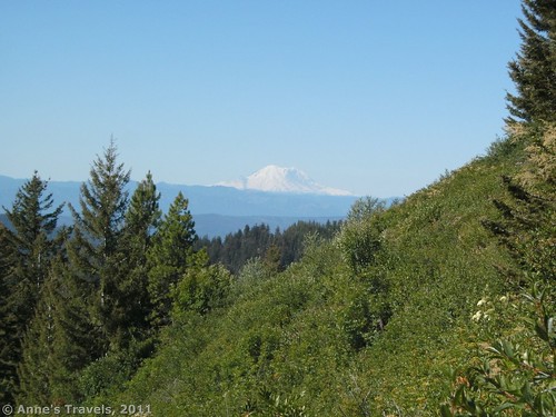
After the hillside experience, the trail goes into some bushes, but continues to gradually climb along the hillside. As I mentioned before, the trail itself is extremely dusty. It’s not so bad in the early morning when the dew is still on the trail, but later I felt like I’d like to be wearing a dust mask. This won’t be a problem if you are hiking on your own or with a very small group (less than three people). It is in this area that you can begin to see Mt. Rainier peaking up over on your left. The peek is best seen early in the morning, and hazes in as the day goes on.
I mentioned before that the trail was created for motorcyclers. This takes the form of less-steep trails and corners that are reinforced with cinderblocks to keep them from eroding away. However, on a Friday in mid-August, we didn’t see a single motorbike, and there were only one or two tracks in the dusty trail. So my guess is that the trail isn’t used much for biking. However, do be aware that you might encounter these as you hike.
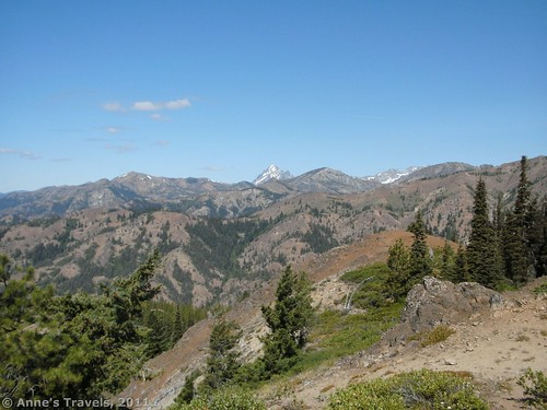
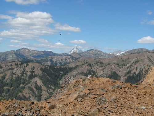
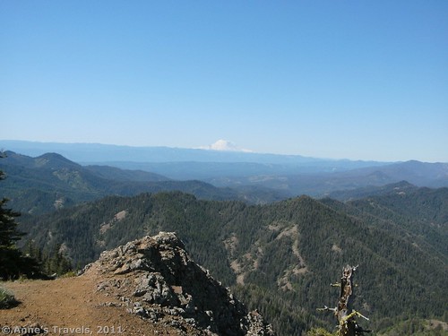
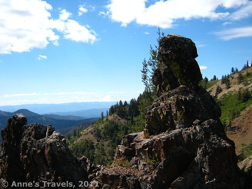
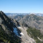
After about another ½ mile, you will come to a trail junction at the top of a ridge. The trail you are on (Iron Bear Trail #1351) continues straight over the ridge and down into the Bear Creek valley; the other trail (Teanaway Ridge Trail #1354) goes in both directions along Teanaway Ridge. You want to turn right and head upward along the ridgetop. For the next 2 miles, the trail continues to climb, often switchbacking, upward through the forest. Eventually you will come out into a somewhat grassy area with a stand of pine trees on your left after you climb what appears to be the final hill. After this the trail descends in switchbacks down through the trees. But don’t take the trail. Instead, walk to the left around the grove of pine trees to a small volcanic plug (or at least that’s what it looked like to us; it’s just a large rock that sticks out of the ground). From here you can get an awesome view of the Teanaway Area, including Mt. Stewart. Mt. Rainier is over to the left as well. It doesn’t compare with Bean or Earl Peaks, but it’s still very nice.
We stopped at the volcanic plug for lunch and then headed out along the rock ridge that goes out near the plug. The views from here aren’t terrifically better than what you can see from the plug, but they’re still worth seeing.
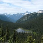
If you’re looking for another view in a different direction, take the trail down the switchbacks and through the forest. Less than ½ mile later the trail will end at County Line Trail #1226. Turn right here and walk for less than a ¼ mile to a place where a garden of rocks seems to show up out of nowhere. Enjoy the formations as well as the nice view from these rocks. From here we decided to get off of the trail and walk up the hillside to the left of the trail. I don’t really recommend it, as the views were nice but not outstanding. So, it’s an option, but not one I’d suggest you do, although the wildflowers in that area would be very nice in season.
Return by the way you came. This area is nice if you’re looking for a quiet trail or a view of the general Teanaway Area. Don’t expect close-up views of the mountains, as they’re still quite a ways away, but the lack of the crowds that frequent the Longs/Ingalls Pass area made Teanaway Ridge a very nice walk.
Round Trip Trail Length: 6 miles
Facilities: None, except a small parking area
Fees: Northwest Forest Service Pass required, or $5 a day fee. Interagency, Senior (Golden Age), and Access (Golden Access) passes also accepted.
Trail 


Road 


Signs 


Scenery 


Would I go 100 miles out of my way for this? 


Overall Rating: 


This Week’s Featured Product!
This hike is included in this book – along with so many others, both in the Teanaway Region and beyond! With all of the hikes having great views, this is a great resource for hiking in Washington.

I thought this blog was superb and everything that you referenced to was quite relevant to the cause. Cheers.
You have brought up a very wonderful points , thanks for the post.
Really impressed! Everything is very, very clear, open is a description of the problem.It contains the information.I wanted to let you know that I linked to your site with a dofollow links so visitors can come to see your blog.It is all very new to me and this article really opened my eyes,and I guess since I like reading your blog, others will too.