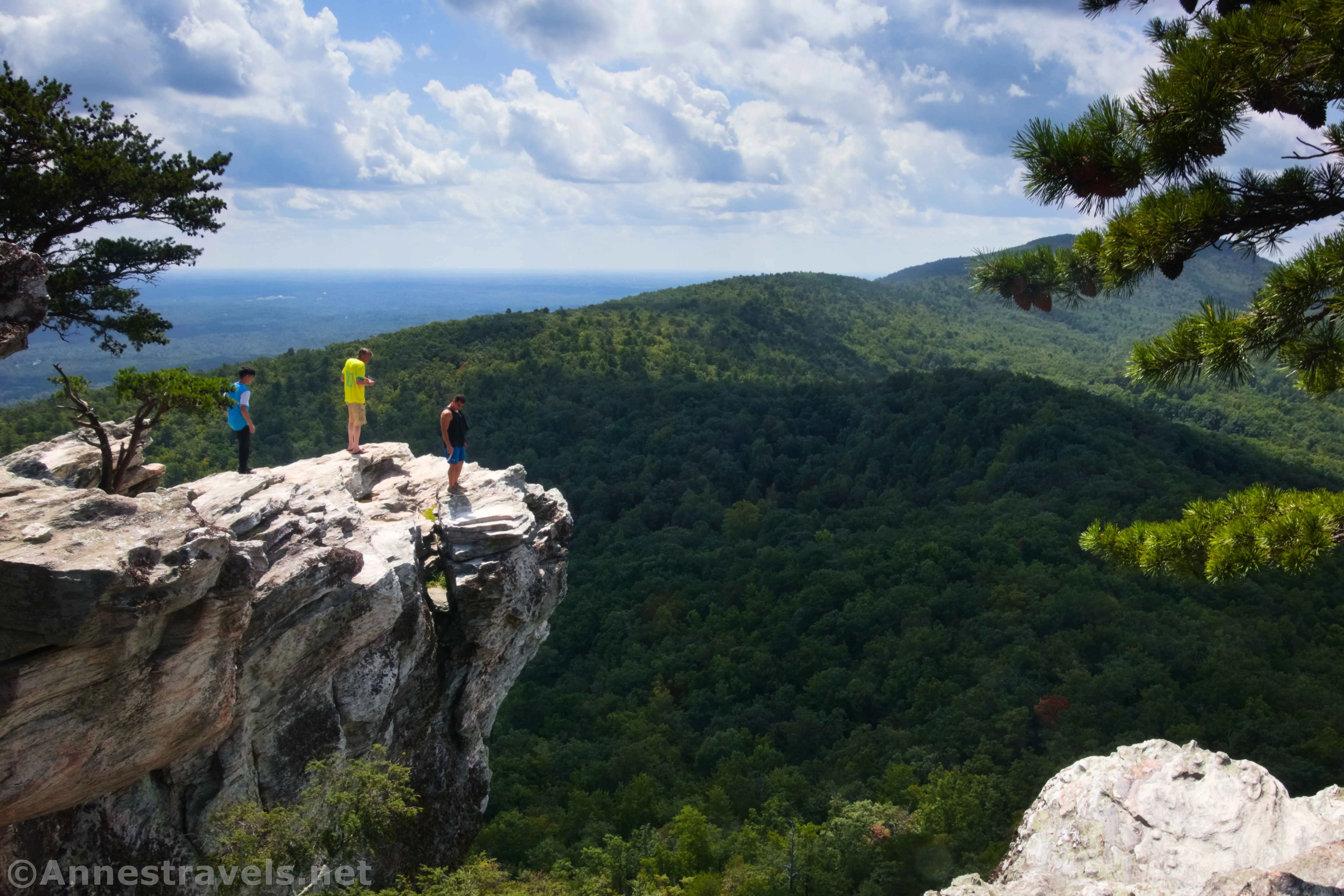
One of the delights of visiting my cousin and cousin-in-law over Labor Day was when they took us up to Hanging Rock State Park in western North Carolina. We climbed to the official Hanging Rock, descended to the Upper Cascades (a topic for another post), and generally had a fantastic time together before going out for Taco Bell (we do have adventures!) The views were great, Hanging Rock was fun, and the company was even better – so I can’t wait to tell you all about the trail!
Quick Stats
Note: While Hanging Rock State Park might have been impacted by Hurricane Helene, it is just far enough east not to be closed at this point. The trails are open. Be wary of lingering effects on roads and trails.
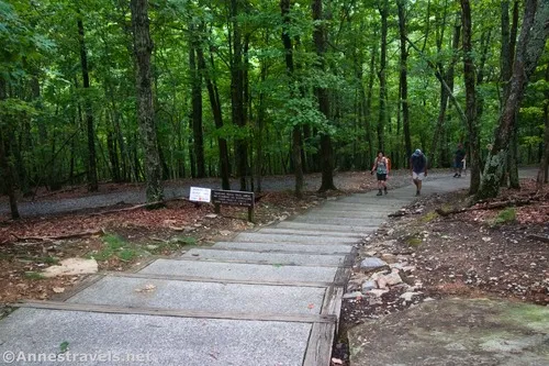
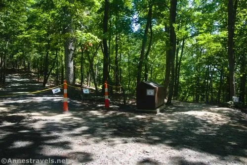
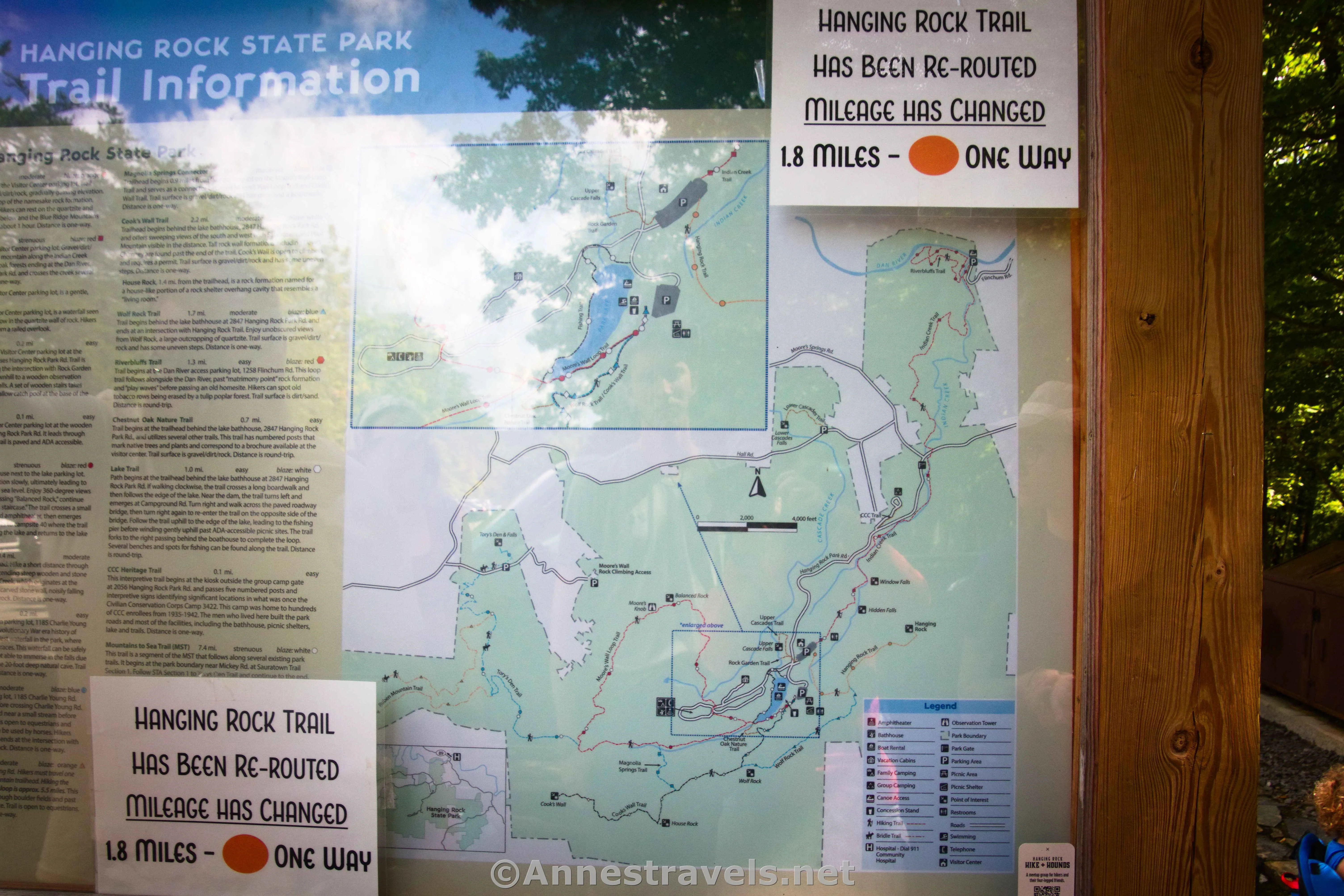
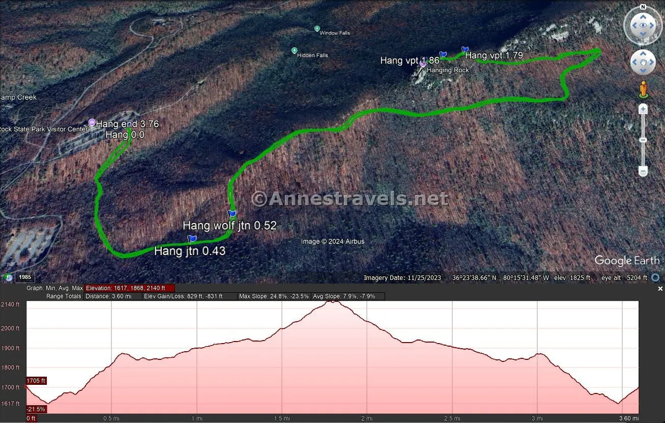
The trail begins near the kiosk on the opposite side of the parking area from the visitor center. Descend the stairs, then rise up a fairly steep hill. After 0.4 miles, pass a trail on the right that would take you to the lake parking lot, then another trail on the right a tenth of a mile later that is the Wolf Rock Trail. The path descends a bit before arriving at another junction near the trash cans – the signs were very clear that you want to go right past the trash cans. Apparently, the trail used to go straight, but it was rerouted recently. This added a small amount of mileage to the trail as well as made it a little less steep, as the path takes a long, slow switchback up the hillside. I also hear it removed the stairs at the end, but since I’ve never done it before, I can’t say exactly what has changed.
The trees thinned a bit on the first leg of the switchback, with occasional peek-a-boo views through the trees. It looked like we’d have a nice view! We were all very ready to stop climbing by the time we made it up to the top of the second leg of the switchback, which was shadier. At the top of the switchback, 1.8 miles from the parking area, we found a small view and a big rock. This seemed to be where many people turned around. However, this isn’t Hanging Rock.
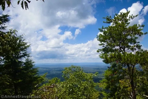
To continue to the true Hanging Rock, follow the very rocky and tree-root-infested trail over the top of the hill. This is by far the hardest part of the hike, but thankfully, it doesn’t go on too long. There is a second viewpoint at mile 1.85, then you’ll pop out of the trees at Hanging Rock at mile 1.9.
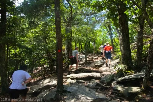
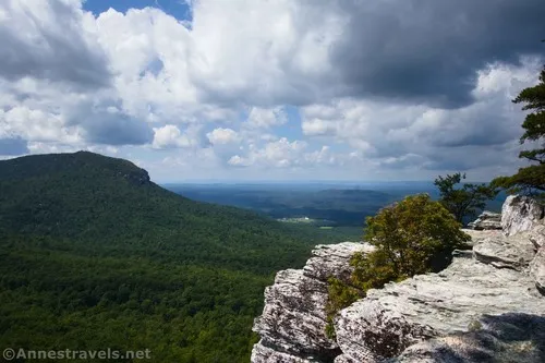
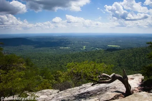
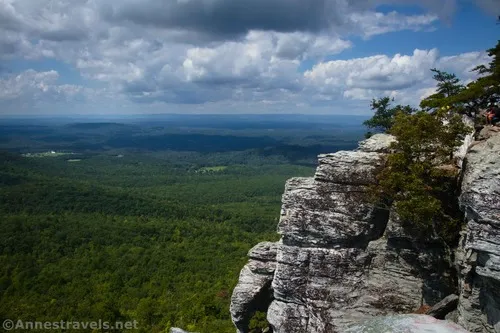
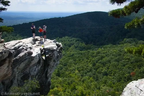
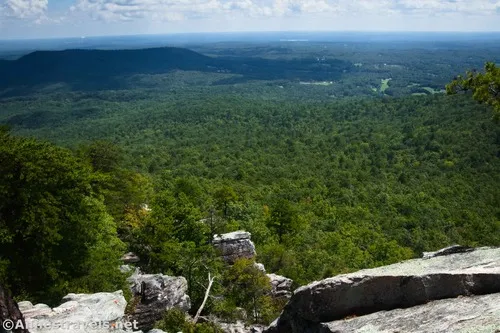
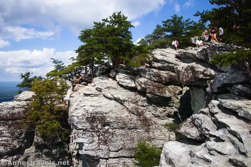
This is where the views get good. You can go straight to scramble down to Hanging Rock, just a little right to scramble down to views of Hanging Rock, or far right to walk (no scrambling) to some great views. Honestly, all three areas have great views, so it pays to explore!
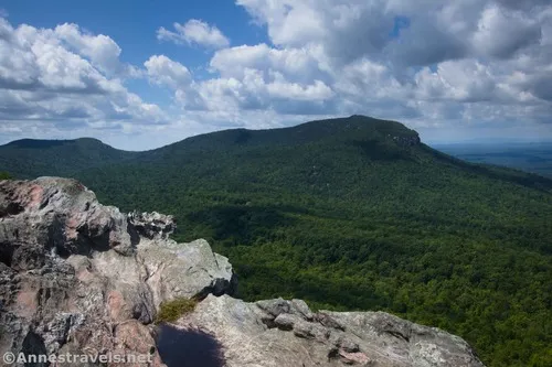
I do think the best views were from Hanging Rock itself. But I also really enjoyed the views from the rightmost viewpoint!
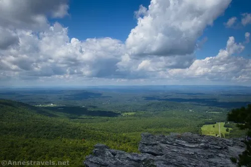
When you’re finished looking at the view, hike back down the trail. It’s not super long or exceedingly hard, but it will get your heart pumping and the sweat pouring even in the shoulder season – so enjoy every minute of it!
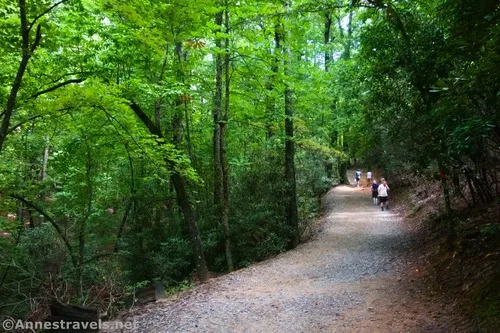
Round Trip Trail Length: I went 3.75 miles
Elevation Gain: 831ft. (1,617ft. to 2,140ft.)
Facilities: Restrooms and maps at the visitor center
Fees: None
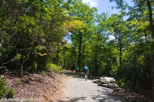
Trail Notes: This is a very popular trail for families, assuming the children know enough to stay away from the edge (there are no guardrails). I saw one or two young children in strollers; this is fine at first, but that last tenth of a mile isn’t friendly to hikers, let alone wheels of any kind, and the happier parents seemed to be those carrying baby backpacks. If you don’t like heights, you don’t have to get anywhere close to the edge anywhere along the trail or at the overlooks unless you want to.
Trail 


Road 


Signs 


Scenery 


Would I go 100 miles out of my way for this? 


Overall Rating: 


GPS Coordinates for Hanging Rock
TH: 36.3949350°, -080.2652150° (36°23.69610′, -080°15.91290′ / 36°23’41.7660″, -080°15’54.7740″) (1,701ft.) (0.0)
Lake Parking Lot Junction: 36.3949350°, -080.2652150° (36°23.47200′, -080°15.73752′ / 36°23’28.3200″, -080°15’44.2512″) (1,764ft.) (0.43)
Wolf Rock Junction: 36.3917570°, -080.2613600° (36°23.50542′, -080°15.68160′ / 36°23’30.3252″, -080°15’40.8960″) (1,813ft.) (0.52)
Viewpoint: 36.3967050°, -080.2544280° (36°23.80230′, -080°15.26568′ / 36°23’48.1380″, -080°15’15.9408″) (2,095ft.) (1.79)
Viewpoint: 36.3963390°, -080.2552240° (36°23.78034′, -080°15.31344′ / 36°23’46.8204″, -080°15’18.8064″) (2,124ft.) (1.86)
Hanging Rock: 36.3961140°, -080.2558670° (36°23.76684′, -080°15.35202′ / 36°23’46.0104″, -080°15’21.1212″) (2,116ft.) (1.90)
End (TH): 36.3949840°, -080.2651560° (36°23.69904′, -080°15.90936′ / 36°23’41.9424″, -080°15’54.5616″) (1,701ft.) (3.76)
The gpx file for the Hanging Rock Trail can be downloaded – please note that this and the GPS Coordinates are for reference only and should not be used as a sole resource when hiking this trail.
Download GPX File size: 38.5 KB Downloaded 51 times
(Note: I do my best to ensure that all downloads, the webpage, etc. are virus-free and accurate; however, I cannot be held responsible for any damage that might result, including but not limited to loss of data, damages to hardware, harm to users, from use of files, information, etc. from this website. Thanks!)
Getting to the Hanging Rock Trailhead
From Winston-Salem, drive north on US-52N for 13 or so miles. Take Exit 122 for Moor-RJR Drive; at the bottom of the ramp, turn left. Drive 2.5 miles, then continue straight for another 1.9 miles after the road changes names to Mountain View Road. Turn left onto NC-66N/North Carolina Hwy 66S and drive 6.9 miles; turn right onto Moores Spring Road. After another 5.4 miles, turn right onto Hanging Rock Park Road. Drive 1.8 miles, turn left toward the Visitor Center, and park in the very large parking area.
From I-77, merge onto I-74E; when I-74 ends, continue straight onto US-52S for 3.8 miles. Use the left lane to take Exit 135 toward W Main Street and Old US 52S. Drive 2.4 miles, then turn left onto NC-268E for 8.4 miles. A light right will keep you on NC-268E for another 3.1 miles. Turn right onto Dan George Road for 2.1 miles; turn left onto Moores Spring Road and drive another 2.6 miles to turn right onto Hanging Rock Road. Drive 1.8 miles, turn left toward the Visitor Center, and park in the very large parking area.
From the Martinsville area, drive US-58W about 13.6 miles after crossing US-220. Turn left onto Nettle Ridge Loop for only 0.2 miles; turn left onto Moorefield Store Road. After 4.8 miles (during which you’ll enter North Carolina), turn left onto VA Line Road for 1 mile, then turn right onto NC-704 W for 0.1 mile, then turn left on Moore Road for 3.3 miles. Heave a sigh of relief when you turn onto NC-8S because you get to stay on it for 6.2 miles. Turn left to stay on NC-8S. After 0.7 miles, turn right onto Piedmont Springs Road for 0.9 miles, then onto Hanging Rock Park Road for 2.3 miles. Turn left toward the Visitor Center and park in the very large parking area.


Today’s Featured Product
Discover over 500 hiking trails with this guide. It includes numerous trails in and near Hanging Rock State Park, as well as maps, trail descriptions, photos, and more. Buy your copy here.


